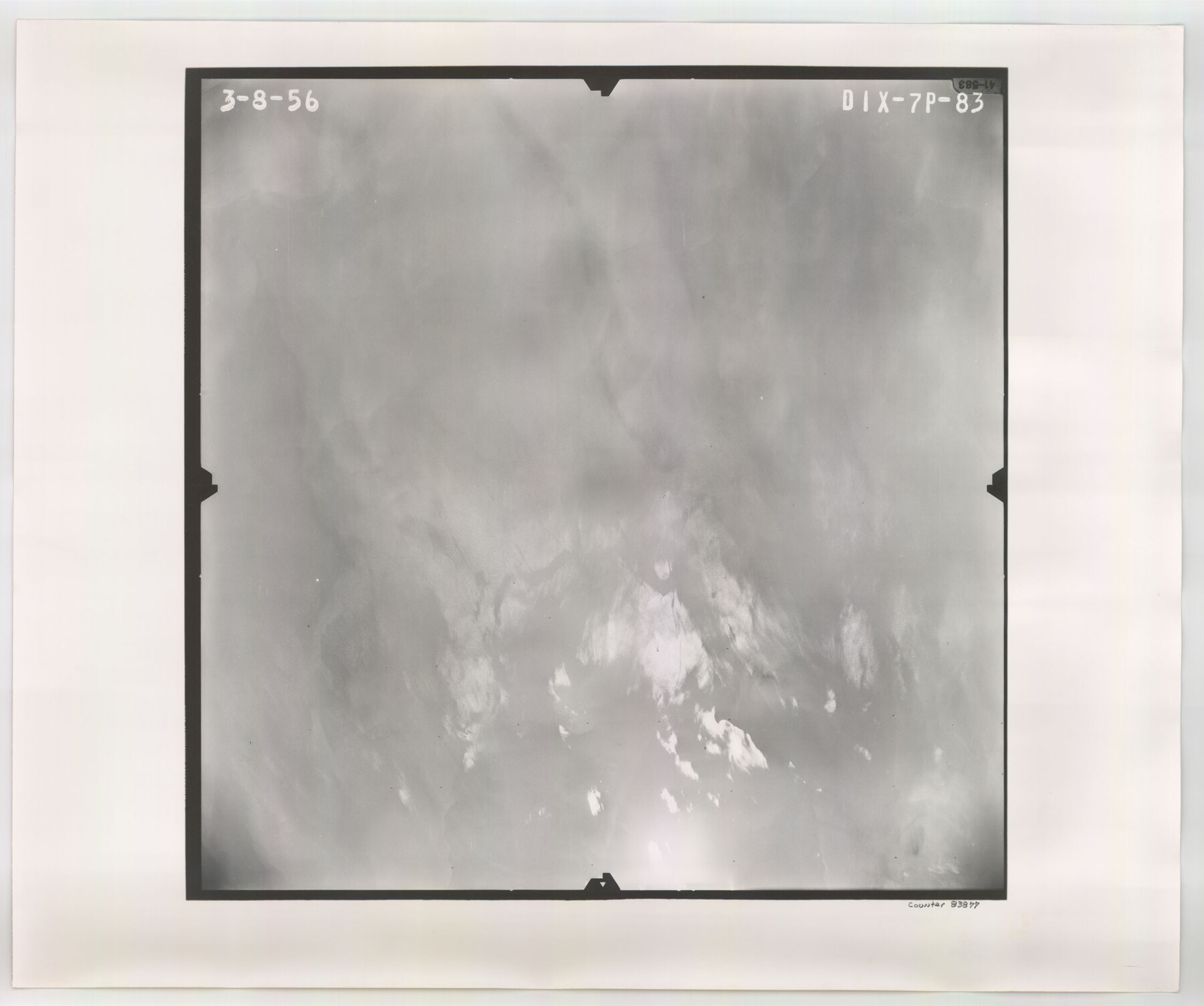
Flight Mission No. DIX-7P, Frame 83, Aransas County
DIX-7P-83
-
Map/Doc
83877
-
Collection
General Map Collection
-
Object Dates
1956/3/8 (Creation Date)
-
People and Organizations
U. S. Department of Agriculture (Publisher)
-
Counties
Aransas
-
Subjects
Aerial Photograph
-
Height x Width
18.8 x 22.5 inches
47.8 x 57.2 cm
-
Comments
Flown by V. L. Beavers and Associates of San Antonio, Texas.
Part of: General Map Collection
Brewster County Working Sketch 55

Print $40.00
- Digital $50.00
Brewster County Working Sketch 55
1953
Size 51.1 x 27.5 inches
Map/Doc 67656
Galveston County Rolled Sketch 22

Print $20.00
- Digital $50.00
Galveston County Rolled Sketch 22
1953
Size 28.8 x 39.5 inches
Map/Doc 9663
Fractional Township No. 8 South Range No. 4 East of the Indian Meridian, Indian Territory

Print $20.00
- Digital $50.00
Fractional Township No. 8 South Range No. 4 East of the Indian Meridian, Indian Territory
1898
Size 19.2 x 24.4 inches
Map/Doc 75208
Flight Mission No. BRE-1P, Frame 98, Nueces County

Print $20.00
- Digital $50.00
Flight Mission No. BRE-1P, Frame 98, Nueces County
1956
Size 18.4 x 22.1 inches
Map/Doc 86669
Dimmit County Working Sketch 23

Print $20.00
- Digital $50.00
Dimmit County Working Sketch 23
1954
Size 22.5 x 23.3 inches
Map/Doc 68684
Dimmit County Rolled Sketch 16

Print $40.00
- Digital $50.00
Dimmit County Rolled Sketch 16
1964
Size 30.5 x 48.3 inches
Map/Doc 8798
United States - Gulf Coast - Galveston to Rio Grande

Print $20.00
- Digital $50.00
United States - Gulf Coast - Galveston to Rio Grande
Size 27.9 x 18.3 inches
Map/Doc 72739
Jackson County Sketch File 13

Print $40.00
- Digital $50.00
Jackson County Sketch File 13
Size 29.0 x 18.6 inches
Map/Doc 11839
Val Verde County

Print $20.00
- Digital $50.00
Val Verde County
1944
Size 42.0 x 37.0 inches
Map/Doc 63103

Austin County Working Sketch Graphic Index

Print $20.00
- Digital $50.00
Austin County Working Sketch Graphic Index
1943
Size 38.6 x 41.1 inches
Map/Doc 76459
Dallas County Boundary File 5

Print $120.00
- Digital $50.00
Dallas County Boundary File 5
Size 11.5 x 72.2 inches
Map/Doc 52160
You may also like
Hays County Rolled Sketch 32

Print $20.00
- Digital $50.00
Hays County Rolled Sketch 32
2003
Size 15.6 x 20.0 inches
Map/Doc 78489
Presidio County Rolled Sketch 74

Print $20.00
- Digital $50.00
Presidio County Rolled Sketch 74
Size 20.5 x 14.0 inches
Map/Doc 7362
Flight Mission No. DCL-5C, Frame 76, Kenedy County

Print $20.00
- Digital $50.00
Flight Mission No. DCL-5C, Frame 76, Kenedy County
1943
Size 18.4 x 22.4 inches
Map/Doc 85859
Maps of Block 97, Borden & Scurry Counties

Print $40.00
- Digital $50.00
Maps of Block 97, Borden & Scurry Counties
Size 58.2 x 42.2 inches
Map/Doc 65691
[Sketch showing G. H.& H. Ry. Co. Blks. 2 and 3, H. & T. C. Ry. Co. Blk. 45 and T. &N. O. Ry. Co. Blk. 5T]
![89679, [Sketch showing G. H.& H. Ry. Co. Blks. 2 and 3, H. & T. C. Ry. Co. Blk. 45 and T. &N. O. Ry. Co. Blk. 5T], Twichell Survey Records](https://historictexasmaps.com/wmedia_w700/maps/89679-1.tif.jpg)
Print $20.00
- Digital $50.00
[Sketch showing G. H.& H. Ry. Co. Blks. 2 and 3, H. & T. C. Ry. Co. Blk. 45 and T. &N. O. Ry. Co. Blk. 5T]
1890
Size 23.6 x 36.8 inches
Map/Doc 89679
[Surveying Sketch of L. Smith, Sidney Shepherd, Kenneth Hyman, et al in Montgomery County]
![625, [Surveying Sketch of L. Smith, Sidney Shepherd, Kenneth Hyman, et al in Montgomery County], Maddox Collection](https://historictexasmaps.com/wmedia_w700/maps/00625.tif.jpg)
Print $2.00
- Digital $50.00
[Surveying Sketch of L. Smith, Sidney Shepherd, Kenneth Hyman, et al in Montgomery County]
Size 7.3 x 10.6 inches
Map/Doc 625
Map of Ramon Musquiz Survey, Meanders of Lavaca & Navidad Rivers, Menefee & Redfish Lakes

Print $20.00
- Digital $50.00
Map of Ramon Musquiz Survey, Meanders of Lavaca & Navidad Rivers, Menefee & Redfish Lakes
1934
Size 23.4 x 18.4 inches
Map/Doc 65455
Flight Mission No. CGI-3N, Frame 53, Cameron County

Print $20.00
- Digital $50.00
Flight Mission No. CGI-3N, Frame 53, Cameron County
1954
Size 18.5 x 22.2 inches
Map/Doc 84559
Jefferson County Rolled Sketch 35

Print $20.00
- Digital $50.00
Jefferson County Rolled Sketch 35
1957
Size 37.9 x 26.0 inches
Map/Doc 6394
Limestone County Working Sketch 17

Print $20.00
- Digital $50.00
Limestone County Working Sketch 17
1959
Size 42.2 x 33.1 inches
Map/Doc 70567
General Highway Map Burnet County, Texas

Print $20.00
- Digital $50.00
General Highway Map Burnet County, Texas
1953
Size 25.8 x 18.7 inches
Map/Doc 92470
Presidio County Working Sketch 149

Print $20.00
- Digital $50.00
Presidio County Working Sketch 149
2002
Size 24.0 x 24.0 inches
Map/Doc 93489