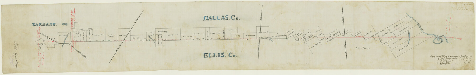
Dallas County Boundary File 5
Bdy. Between Said Co. and Dallas and Tarrant
-
Map/Doc
52160
-
Collection
General Map Collection
-
Counties
Dallas
-
Subjects
County Boundaries
-
Height x Width
11.5 x 72.2 inches
29.2 x 183.4 cm
Part of: General Map Collection
Real County Rolled Sketch 18

Print $20.00
- Digital $50.00
Real County Rolled Sketch 18
Size 22.0 x 28.0 inches
Map/Doc 7464
Hardeman County Rolled Sketch 14

Print $20.00
- Digital $50.00
Hardeman County Rolled Sketch 14
1884
Size 18.2 x 29.1 inches
Map/Doc 6071
Bexar County Working Sketch 18

Print $20.00
- Digital $50.00
Bexar County Working Sketch 18
1979
Size 22.6 x 18.3 inches
Map/Doc 67334
Flight Mission No. CUI-1H, Frame 167, Milam County

Print $20.00
- Digital $50.00
Flight Mission No. CUI-1H, Frame 167, Milam County
1951
Size 18.5 x 22.2 inches
Map/Doc 86609
Jeff Davis County Rolled Sketch 9

Print $20.00
- Digital $50.00
Jeff Davis County Rolled Sketch 9
Size 18.3 x 22.9 inches
Map/Doc 6362
Presidio County Working Sketch 123

Print $20.00
- Digital $50.00
Presidio County Working Sketch 123
1984
Size 39.5 x 17.7 inches
Map/Doc 71801
Glasscock County Working Sketch 7

Print $20.00
- Digital $50.00
Glasscock County Working Sketch 7
1952
Size 36.8 x 31.9 inches
Map/Doc 63180

Sutton County Working Sketch 13

Print $40.00
- Digital $50.00
Sutton County Working Sketch 13
1972
Size 58.8 x 37.0 inches
Map/Doc 62356
Henderson County Sketch File 14

Print $4.00
- Digital $50.00
Henderson County Sketch File 14
1889
Size 10.7 x 7.3 inches
Map/Doc 26355
United States - Gulf Coast - Galveston to Rio Grande

Print $20.00
- Digital $50.00
United States - Gulf Coast - Galveston to Rio Grande
1940
Size 27.4 x 18.3 inches
Map/Doc 72757
Chambers County Rolled Sketch 19

Print $20.00
- Digital $50.00
Chambers County Rolled Sketch 19
Size 39.8 x 44.4 inches
Map/Doc 8588
You may also like
Flight Mission No. DAG-4C, Frame 150, Matagorda County

Print $20.00
- Digital $50.00
Flight Mission No. DAG-4C, Frame 150, Matagorda County
1943
Size 18.5 x 18.4 inches
Map/Doc 86441
Upton County Rolled Sketch 20

Print $40.00
- Digital $50.00
Upton County Rolled Sketch 20
1933
Size 53.0 x 36.8 inches
Map/Doc 10041
Gaines County Working Sketch 24

Print $20.00
- Digital $50.00
Gaines County Working Sketch 24
1983
Size 36.4 x 37.9 inches
Map/Doc 69324
Kerr County Working Sketch 21

Print $40.00
- Digital $50.00
Kerr County Working Sketch 21
1960
Size 24.4 x 54.5 inches
Map/Doc 70052
Flight Mission No. BQR-5K, Frame 64, Brazoria County

Print $20.00
- Digital $50.00
Flight Mission No. BQR-5K, Frame 64, Brazoria County
1952
Size 18.8 x 22.5 inches
Map/Doc 84009
San Patricio County Working Sketch 7

Print $20.00
- Digital $50.00
San Patricio County Working Sketch 7
1936
Size 18.3 x 15.9 inches
Map/Doc 63769
Map of the City of Austin

Print $20.00
- Digital $50.00
Map of the City of Austin
1876
Size 36.5 x 30.4 inches
Map/Doc 78477

A New Map of the United States upon which are delineated its vast works of internal communication, routes across the continent &c. showing also Canada and the Island of Cuba

Print $20.00
- Digital $50.00
A New Map of the United States upon which are delineated its vast works of internal communication, routes across the continent &c. showing also Canada and the Island of Cuba
Size 25.8 x 30.6 inches
Map/Doc 93996
Hidalgo County Sketch File 1

Print $40.00
- Digital $50.00
Hidalgo County Sketch File 1
Size 20.2 x 12.0 inches
Map/Doc 26392
Pecos County Sketch File 115

Print $18.00
- Digital $50.00
Pecos County Sketch File 115
Size 7.5 x 8.8 inches
Map/Doc 34083
Jones County Working Sketch 6

Print $20.00
- Digital $50.00
Jones County Working Sketch 6
1951
Size 36.2 x 20.6 inches
Map/Doc 66644