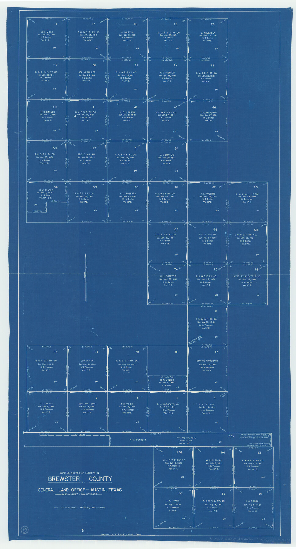
Brewster County Working Sketch 55
-
Map/Doc
67656
-
Collection
General Map Collection
-
Object Dates
3/20/1953 (Creation Date)
-
Counties
Brewster
-
Subjects
Surveying Working Sketch
-
Height x Width
51.1 x 27.5 inches
129.8 x 69.9 cm
-
Scale
1" = 500 varas
Part of: General Map Collection
Kendall County

Print $20.00
- Digital $50.00
Kendall County
1946
Size 41.6 x 35.9 inches
Map/Doc 1872
Webb County Sketch File 11-1

Print $8.00
- Digital $50.00
Webb County Sketch File 11-1
1884
Size 11.3 x 8.5 inches
Map/Doc 39781
Duval County Boundary File 3k

Print $40.00
- Digital $50.00
Duval County Boundary File 3k
Size 30.1 x 7.0 inches
Map/Doc 52759

Starr County Rolled Sketch 22

Print $20.00
- Digital $50.00
Starr County Rolled Sketch 22
1919
Size 37.3 x 22.3 inches
Map/Doc 7806
Crockett County Rolled Sketch 96

Print $20.00
- Digital $50.00
Crockett County Rolled Sketch 96
1986
Size 25.2 x 28.9 inches
Map/Doc 5635
Brewster County Working Sketch 119

Print $20.00
- Digital $50.00
Brewster County Working Sketch 119
1909
Size 29.3 x 29.0 inches
Map/Doc 67719
Matagorda County NRC Article 33.136 Sketch 24

Print $78.00
Matagorda County NRC Article 33.136 Sketch 24
2025
Map/Doc 97509
Flight Mission No. CGN-3P, Frame 53, San Patricio County

Print $20.00
- Digital $50.00
Flight Mission No. CGN-3P, Frame 53, San Patricio County
1956
Size 18.6 x 22.3 inches
Map/Doc 86983
Knox County Working Sketch 19

Print $20.00
- Digital $50.00
Knox County Working Sketch 19
1992
Size 25.0 x 35.6 inches
Map/Doc 70261
Map of Collingsworth County

Print $20.00
- Digital $50.00
Map of Collingsworth County
1899
Size 42.8 x 38.5 inches
Map/Doc 4739
Presidio County Rolled Sketch 95

Print $20.00
- Digital $50.00
Presidio County Rolled Sketch 95
1949
Size 45.4 x 37.5 inches
Map/Doc 9781
You may also like
San Patricio County Boundary File 76

Print $25.00
- Digital $50.00
San Patricio County Boundary File 76
Size 9.2 x 7.6 inches
Map/Doc 58563
Flight Mission No. BRA-7M, Frame 33, Jefferson County

Print $20.00
- Digital $50.00
Flight Mission No. BRA-7M, Frame 33, Jefferson County
1953
Size 18.6 x 22.4 inches
Map/Doc 85484
[Surveys in the vicinity of the Martina Olivares survey]
![90891, [Surveys in the vicinity of the Martina Olivares survey], Twichell Survey Records](https://historictexasmaps.com/wmedia_w700/maps/90891-1.tif.jpg)
Print $3.00
- Digital $50.00
[Surveys in the vicinity of the Martina Olivares survey]
1911
Size 10.3 x 16.9 inches
Map/Doc 90891
Coryell County Working Sketch 23

Print $20.00
- Digital $50.00
Coryell County Working Sketch 23
1977
Size 27.6 x 30.6 inches
Map/Doc 68230
Map of Bell County

Print $40.00
- Digital $50.00
Map of Bell County
1896
Size 48.1 x 54.4 inches
Map/Doc 82066
Stephens County Sketch File 11

Print $4.00
- Digital $50.00
Stephens County Sketch File 11
1882
Size 8.8 x 9.1 inches
Map/Doc 37055
Bexar County Sketch File 53

Print $8.00
- Digital $50.00
Bexar County Sketch File 53
Size 11.4 x 8.9 inches
Map/Doc 14539
Hood County Working Sketch 30

Print $20.00
- Digital $50.00
Hood County Working Sketch 30
1990
Size 26.6 x 29.9 inches
Map/Doc 66224

[Archer County School Land]
![90324, [Archer County School Land], Twichell Survey Records](https://historictexasmaps.com/wmedia_w700/maps/90324-1.tif.jpg)
Print $20.00
- Digital $50.00
[Archer County School Land]
Size 21.7 x 16.7 inches
Map/Doc 90324
Rains County Sketch File 6

Print $4.00
- Digital $50.00
Rains County Sketch File 6
Size 8.0 x 9.1 inches
Map/Doc 34954
Main Line Routes of the Santa Fe Lines

Main Line Routes of the Santa Fe Lines
Size 12.1 x 18.1 inches
Map/Doc 94157