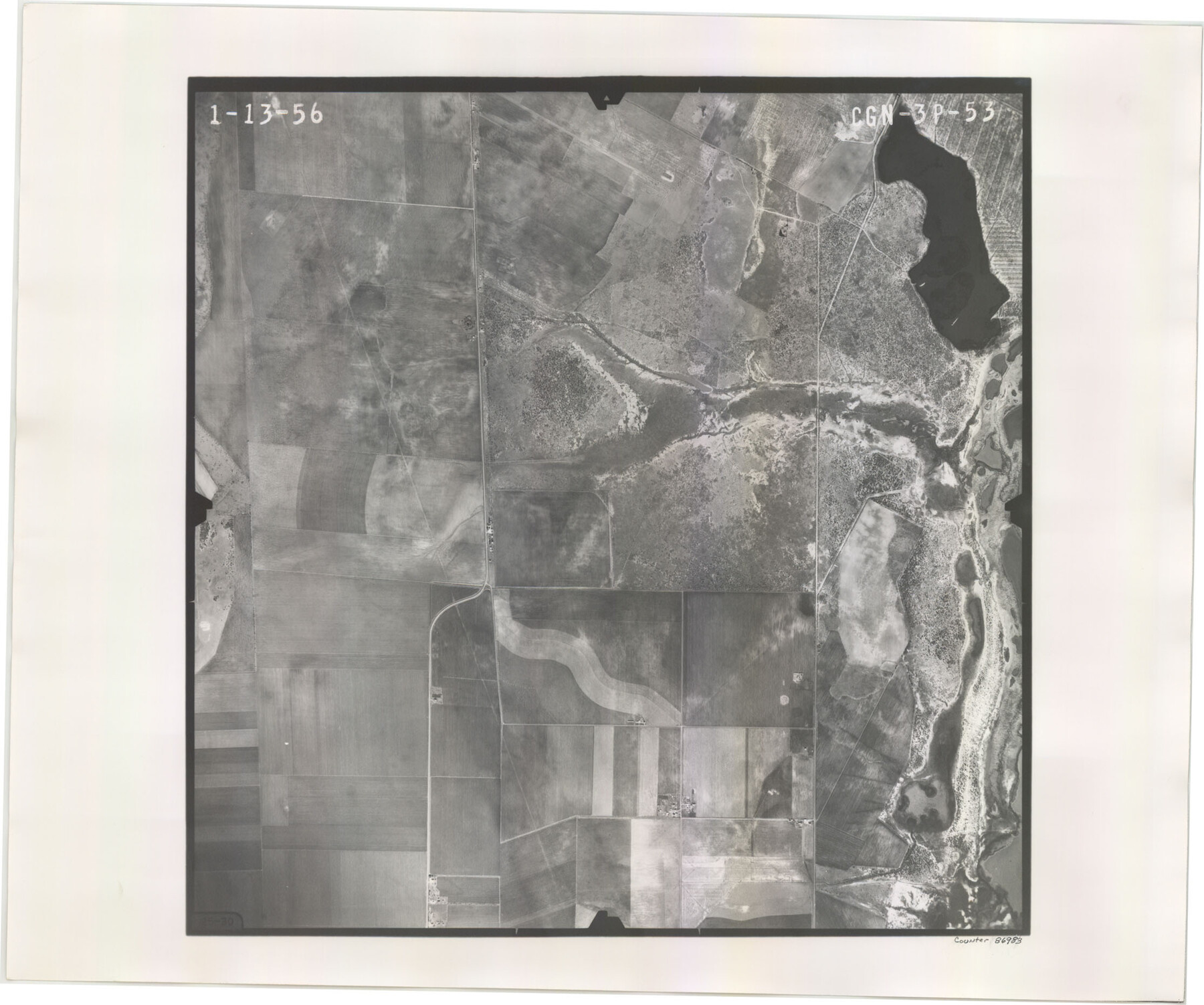
Flight Mission No. CGN-3P, Frame 53, San Patricio County
CGN-3P-53
-
Map/Doc
86983
-
Collection
General Map Collection
-
Object Dates
1956/1/13 (Creation Date)
-
People and Organizations
U. S. Department of Agriculture (Publisher)
-
Counties
San Patricio
-
Subjects
Aerial Photograph
-
Height x Width
18.6 x 22.3 inches
47.2 x 56.6 cm
-
Comments
Flown by V. L. Beavers and Associates of San Antonio, Texas.
Part of: General Map Collection
Travis County Working Sketch 19

Print $20.00
- Digital $50.00
Travis County Working Sketch 19
1945
Size 32.2 x 40.6 inches
Map/Doc 69403
Jackson County

Print $20.00
- Digital $50.00
Jackson County
1840
Size 33.5 x 26.7 inches
Map/Doc 4505
Greer County Sketch File 9

Print $6.00
- Digital $50.00
Greer County Sketch File 9
Size 15.9 x 11.4 inches
Map/Doc 24528
Lynn County Sketch File 20

Print $4.00
- Digital $50.00
Lynn County Sketch File 20
1891
Size 8.8 x 10.9 inches
Map/Doc 30527
Coryell County Working Sketch 19

Print $20.00
- Digital $50.00
Coryell County Working Sketch 19
1970
Size 38.7 x 33.2 inches
Map/Doc 68226
Shelby County Working Sketch 30

Print $20.00
- Digital $50.00
Shelby County Working Sketch 30
2000
Size 35.9 x 44.7 inches
Map/Doc 63885
Val Verde County Rolled Sketch 76

Print $20.00
- Digital $50.00
Val Verde County Rolled Sketch 76
1976
Size 38.6 x 26.6 inches
Map/Doc 8139
G. C. & S. F. Ry. Alinement [sic] and Right of Way Map of Dallas Branch, Johnson County, Texas
![64652, G. C. & S. F. Ry. Alinement [sic] and Right of Way Map of Dallas Branch, Johnson County, Texas, General Map Collection](https://historictexasmaps.com/wmedia_w700/maps/64652.tif.jpg)
Print $40.00
- Digital $50.00
G. C. & S. F. Ry. Alinement [sic] and Right of Way Map of Dallas Branch, Johnson County, Texas
1925
Size 37.6 x 87.9 inches
Map/Doc 64652

Flight Mission No. DAG-21K, Frame 96, Matagorda County

Print $20.00
- Digital $50.00
Flight Mission No. DAG-21K, Frame 96, Matagorda County
1952
Size 18.4 x 22.4 inches
Map/Doc 86425
DeWitt County Working Sketch 3

Print $20.00
- Digital $50.00
DeWitt County Working Sketch 3
1957
Size 35.5 x 44.6 inches
Map/Doc 68593
Cass County Working Sketch 7

Print $20.00
- Digital $50.00
Cass County Working Sketch 7
1937
Size 21.9 x 28.9 inches
Map/Doc 67910
You may also like
Outline of the Geology of the Globe

Print $20.00
Outline of the Geology of the Globe
1853
Size 19.3 x 23.6 inches
Map/Doc 95282
Marion County Working Sketch 39

Print $20.00
- Digital $50.00
Marion County Working Sketch 39
1991
Size 20.8 x 19.2 inches
Map/Doc 70815
San Patricio County

Print $20.00
- Digital $50.00
San Patricio County
1939
Size 31.6 x 41.6 inches
Map/Doc 77416
Fayette County Boundary File 6

Print $20.00
- Digital $50.00
Fayette County Boundary File 6
Size 14.4 x 9.0 inches
Map/Doc 53391
Bailey County Sketch File 4

Print $8.00
- Digital $50.00
Bailey County Sketch File 4
1907
Size 14.2 x 8.7 inches
Map/Doc 13954
Sketch B Showing the progress of Section No. 2

Print $20.00
- Digital $50.00
Sketch B Showing the progress of Section No. 2
1844
Size 25.3 x 27.7 inches
Map/Doc 97204
Parker County Working Sketch 25

Print $20.00
- Digital $50.00
Parker County Working Sketch 25
2008
Map/Doc 88836

Cameron County Sketch File 13

Print $50.00
- Digital $50.00
Cameron County Sketch File 13
Size 11.0 x 8.5 inches
Map/Doc 17298
Flight Mission No. DQN-2K, Frame 128, Calhoun County

Print $20.00
- Digital $50.00
Flight Mission No. DQN-2K, Frame 128, Calhoun County
1953
Size 18.6 x 22.3 inches
Map/Doc 84302

Ownership Map NE 1/4 Lubbock County [and attached letter]
![93025, Ownership Map NE 1/4 Lubbock County [and attached letter], Twichell Survey Records](https://historictexasmaps.com/wmedia_w700/maps/93025-1.tif.jpg)
Print $20.00
- Digital $50.00
Ownership Map NE 1/4 Lubbock County [and attached letter]
Size 36.3 x 39.3 inches
Map/Doc 93025