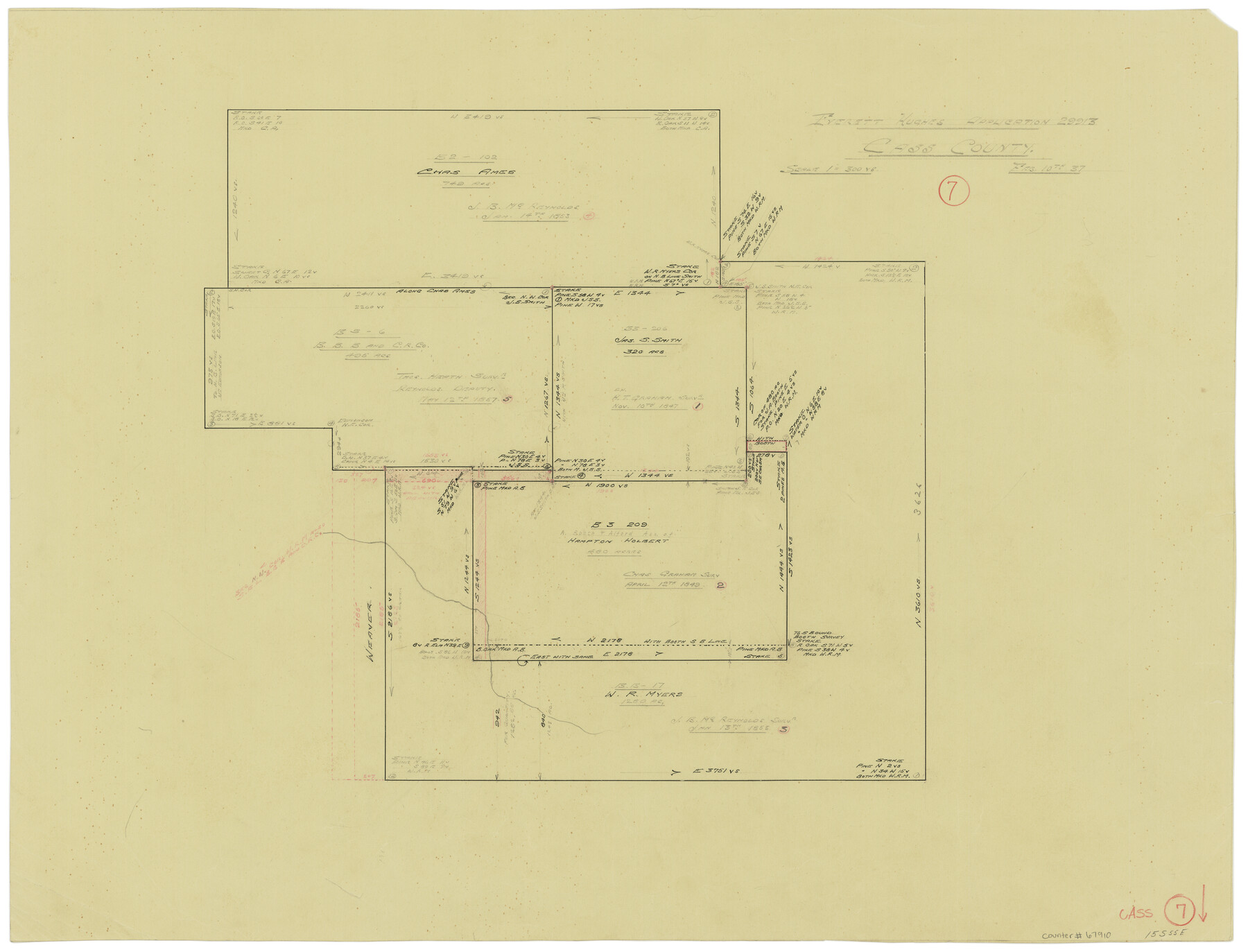
Cass County Working Sketch 7
-
Map/Doc
67910
-
Collection
General Map Collection
-
Object Dates
2/10/1937 (Creation Date)
-
Counties
Cass
-
Subjects
Surveying Working Sketch
-
Height x Width
21.9 x 28.9 inches
55.6 x 73.4 cm
-
Scale
1" = 300 varas
Part of: General Map Collection
Presidio County Working Sketch 71

Print $20.00
- Digital $50.00
Presidio County Working Sketch 71
1961
Size 17.4 x 14.7 inches
Map/Doc 71748
Presidio County Rolled Sketch 147

Print $20.00
- Digital $50.00
Presidio County Rolled Sketch 147
2019
Size 35.2 x 24.1 inches
Map/Doc 95703
Houston County Sketch File 12

Print $4.00
- Digital $50.00
Houston County Sketch File 12
1849
Size 8.2 x 14.7 inches
Map/Doc 26773
Atascosa County Rolled Sketch 22

Print $40.00
- Digital $50.00
Atascosa County Rolled Sketch 22
1917
Size 26.3 x 57.2 inches
Map/Doc 8434
Lampasas County Working Sketch 18

Print $20.00
- Digital $50.00
Lampasas County Working Sketch 18
1977
Size 46.1 x 44.0 inches
Map/Doc 70295
Panola County Sketch File 8

Print $4.00
- Digital $50.00
Panola County Sketch File 8
1862
Size 12.8 x 7.8 inches
Map/Doc 33459
Travis County State Real Property Sketch 4

Print $20.00
- Digital $50.00
Travis County State Real Property Sketch 4
1987
Size 25.7 x 30.7 inches
Map/Doc 61695
Brewster County Working Sketch 114

Print $20.00
- Digital $50.00
Brewster County Working Sketch 114
1983
Size 36.0 x 31.7 inches
Map/Doc 67714
Jack County Sketch File 14

Print $8.00
- Digital $50.00
Jack County Sketch File 14
1857
Size 10.0 x 5.7 inches
Map/Doc 27539
Brewster County Working Sketch Graphic Index, East Part, Sheet 1 (Sketches 1 to 111)

Print $20.00
- Digital $50.00
Brewster County Working Sketch Graphic Index, East Part, Sheet 1 (Sketches 1 to 111)
1952
Size 47.4 x 29.6 inches
Map/Doc 76476
Val Verde County Sketch File 52

Print $20.00
- Digital $50.00
Val Verde County Sketch File 52
1885
Size 20.4 x 21.9 inches
Map/Doc 12591
Borden County Working Sketch 10

Print $20.00
- Digital $50.00
Borden County Working Sketch 10
1953
Size 32.2 x 20.4 inches
Map/Doc 67470
You may also like
Map of Europe engraved to illustrate Mitchell's school and family geography

Print $20.00
- Digital $50.00
Map of Europe engraved to illustrate Mitchell's school and family geography
1839
Size 9.5 x 11.8 inches
Map/Doc 93502
Glasscock County Working Sketch 8

Print $20.00
- Digital $50.00
Glasscock County Working Sketch 8
Size 42.7 x 10.3 inches
Map/Doc 62189
Reeves County Boundary File 73

Print $52.00
- Digital $50.00
Reeves County Boundary File 73
Size 9.1 x 7.6 inches
Map/Doc 58201

[Township 5-S, Blocks 36, 37 & 38]
![92291, [Township 5-S, Blocks 36, 37 & 38], Twichell Survey Records](https://historictexasmaps.com/wmedia_w700/maps/92291-1.tif.jpg)
Print $20.00
- Digital $50.00
[Township 5-S, Blocks 36, 37 & 38]
1952
Size 27.6 x 26.5 inches
Map/Doc 92291
Sabine River, Merrill Lake Sheet

Print $20.00
- Digital $50.00
Sabine River, Merrill Lake Sheet
1933
Size 26.4 x 43.6 inches
Map/Doc 65137
Right of Way and Track Map International & Gt Northern Ry. operated by the International & Gt. Northern Ry. Co., San Antonio Division

Print $40.00
- Digital $50.00
Right of Way and Track Map International & Gt Northern Ry. operated by the International & Gt. Northern Ry. Co., San Antonio Division
1917
Size 25.9 x 57.5 inches
Map/Doc 64588
Hays County Sketch File 12

Print $4.00
- Digital $50.00
Hays County Sketch File 12
1866
Size 8.5 x 7.2 inches
Map/Doc 26218
General Highway Map, Floyd County, Texas

Print $20.00
General Highway Map, Floyd County, Texas
1940
Size 25.1 x 18.7 inches
Map/Doc 79091
Glasscock County Sketch File 24

Print $4.00
- Digital $50.00
Glasscock County Sketch File 24
1948
Size 15.5 x 9.1 inches
Map/Doc 24204
Kimble County Working Sketch 92

Print $20.00
- Digital $50.00
Kimble County Working Sketch 92
1979
Size 24.0 x 30.6 inches
Map/Doc 70160
Packery Channel

Print $20.00
- Digital $50.00
Packery Channel
1958
Size 29.5 x 37.5 inches
Map/Doc 2992