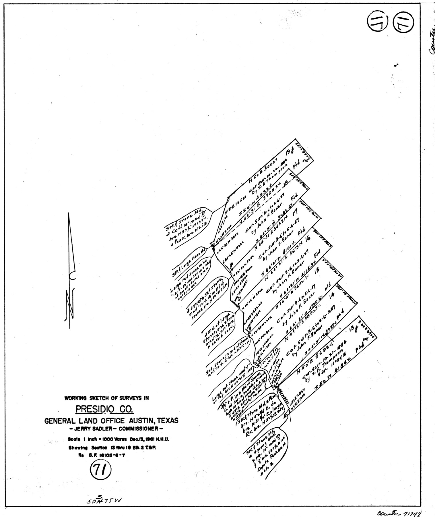
Presidio County Working Sketch 71
-
Map/Doc
71748
-
Collection
General Map Collection
-
Object Dates
12/13/1961 (Creation Date)
-
People and Organizations
Herbert H. Ulbricht (Draftsman)
-
Counties
Presidio
-
Subjects
Surveying Working Sketch
-
Height x Width
17.4 x 14.7 inches
44.2 x 37.3 cm
-
Scale
1" = 1000 varas
Part of: General Map Collection
Haskell County Sketch File A

Print $4.00
- Digital $50.00
Haskell County Sketch File A
Size 7.8 x 11.9 inches
Map/Doc 26117
Polk County Rolled Sketch 30

Print $20.00
- Digital $50.00
Polk County Rolled Sketch 30
1958
Size 27.8 x 31.5 inches
Map/Doc 7316
Bailey County Working Sketch 4

Print $20.00
- Digital $50.00
Bailey County Working Sketch 4
1937
Size 27.0 x 32.0 inches
Map/Doc 67591
Flight Mission No. DAG-18K, Frame 183, Matagorda County

Print $20.00
- Digital $50.00
Flight Mission No. DAG-18K, Frame 183, Matagorda County
1952
Size 16.0 x 16.0 inches
Map/Doc 86375
Gregg County Working Sketch 20

Print $20.00
- Digital $50.00
Gregg County Working Sketch 20
1962
Size 34.3 x 44.4 inches
Map/Doc 63287
Foard County Working Sketch 14

Print $20.00
- Digital $50.00
Foard County Working Sketch 14
1982
Size 37.6 x 46.9 inches
Map/Doc 69205
Brazoria County Sketch File 51

Print $380.00
- Digital $50.00
Brazoria County Sketch File 51
1926
Size 14.1 x 7.8 inches
Map/Doc 15125
Dickens County Rolled Sketch 7

Print $20.00
- Digital $50.00
Dickens County Rolled Sketch 7
1947
Size 33.6 x 23.6 inches
Map/Doc 5706
Brazoria County Working Sketch 33

Print $20.00
- Digital $50.00
Brazoria County Working Sketch 33
1980
Size 29.6 x 35.6 inches
Map/Doc 67518
Flight Mission No. DAG-17K, Frame 135, Matagorda County

Print $20.00
- Digital $50.00
Flight Mission No. DAG-17K, Frame 135, Matagorda County
1952
Size 17.4 x 16.1 inches
Map/Doc 86352
Gillespie County

Print $20.00
- Digital $50.00
Gillespie County
1873
Size 16.0 x 22.4 inches
Map/Doc 3580
[Three Mile Line and Three League Line]
![76120, [Three Mile Line and Three League Line], General Map Collection](https://historictexasmaps.com/wmedia_w700/maps/76120.tif.jpg)
Print $20.00
- Digital $50.00
[Three Mile Line and Three League Line]
1973
Size 43.2 x 33.3 inches
Map/Doc 76120
You may also like
Sketch Showing Surveys Made for W. R. Cartledge

Print $20.00
- Digital $50.00
Sketch Showing Surveys Made for W. R. Cartledge
1945
Size 16.9 x 14.4 inches
Map/Doc 2059
Coryell County

Print $20.00
- Digital $50.00
Coryell County
1936
Size 45.4 x 41.4 inches
Map/Doc 95466
J. De Cordova's Map of the State of Texas Compiled from the records of the General Land Office of the State

Print $20.00
J. De Cordova's Map of the State of Texas Compiled from the records of the General Land Office of the State
1849
Size 35.7 x 33.6 inches
Map/Doc 93964
Upton County Sketch File 29

Print $40.00
- Digital $50.00
Upton County Sketch File 29
1935
Size 16.9 x 14.4 inches
Map/Doc 38881
No. 1. Outline Map of the Rio Grande from its mouth up to Ringold Barracks

Print $20.00
- Digital $50.00
No. 1. Outline Map of the Rio Grande from its mouth up to Ringold Barracks
Size 24.8 x 18.3 inches
Map/Doc 72857
Schleicher County Working Sketch 14

Print $20.00
- Digital $50.00
Schleicher County Working Sketch 14
1928
Size 32.6 x 22.4 inches
Map/Doc 63816
Hunt County Rolled Sketch 5

Print $20.00
- Digital $50.00
Hunt County Rolled Sketch 5
1956
Size 28.6 x 24.3 inches
Map/Doc 6268
Jefferson County Aerial Photograph Index Sheet 7

Print $20.00
- Digital $50.00
Jefferson County Aerial Photograph Index Sheet 7
1953
Size 23.3 x 16.9 inches
Map/Doc 83711
Wharton County Sketch File 4b

Print $4.00
- Digital $50.00
Wharton County Sketch File 4b
1876
Size 12.7 x 8.0 inches
Map/Doc 39921
Matagorda County Working Sketch 13

Print $20.00
- Digital $50.00
Matagorda County Working Sketch 13
1949
Size 41.5 x 35.7 inches
Map/Doc 70871
Renderbrook Ranch

Print $20.00
- Digital $50.00
Renderbrook Ranch
1932
Size 16.9 x 13.5 inches
Map/Doc 92279
Map of Bexar County

Print $20.00
- Digital $50.00
Map of Bexar County
1896
Size 46.2 x 39.9 inches
Map/Doc 4766