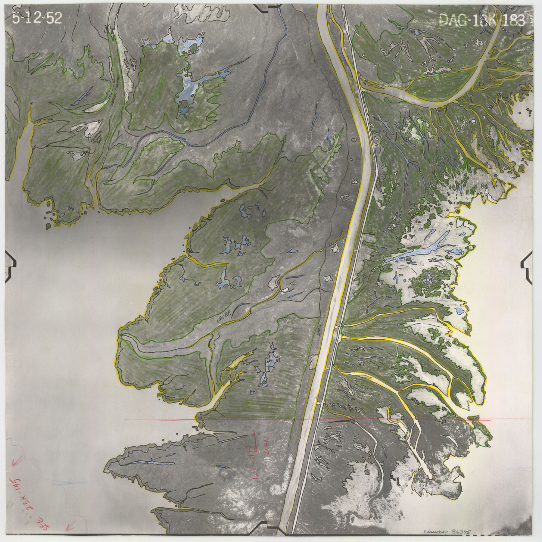
Flight Mission No. DAG-18K, Frame 183, Matagorda County
DAG-18K-183
-
Map/Doc
86375
-
Collection
General Map Collection
-
Object Dates
1952/5/12 (Creation Date)
-
People and Organizations
U. S. Department of Agriculture (Publisher)
-
Counties
Matagorda
-
Subjects
Aerial Photograph
-
Height x Width
16.0 x 16.0 inches
40.6 x 40.6 cm
-
Comments
Flown by Aero Exploration Company of Tulsa, Oklahoma.
Part of: General Map Collection
Trinity County Sketch File 39

Print $20.00
- Digital $50.00
Trinity County Sketch File 39
1959
Size 26.8 x 23.4 inches
Map/Doc 12493
Eastland County Working Sketch 59

Print $20.00
- Digital $50.00
Eastland County Working Sketch 59
1987
Size 19.7 x 37.9 inches
Map/Doc 68840
Hall County Sketch File 28

Print $20.00
- Digital $50.00
Hall County Sketch File 28
1913
Size 18.0 x 21.5 inches
Map/Doc 11611
Pecos County Rolled Sketch 191

Print $20.00
- Digital $50.00
Pecos County Rolled Sketch 191
Size 18.2 x 27.4 inches
Map/Doc 95397
Andrews County Rolled Sketch 45

Print $40.00
- Digital $50.00
Andrews County Rolled Sketch 45
1946
Size 111.7 x 41.0 inches
Map/Doc 8402
Sterling County Rolled Sketch 25

Print $20.00
- Digital $50.00
Sterling County Rolled Sketch 25
Size 31.4 x 35.3 inches
Map/Doc 9955
Flight Mission No. CLL-3N, Frame 18, Willacy County

Print $20.00
- Digital $50.00
Flight Mission No. CLL-3N, Frame 18, Willacy County
1954
Size 18.4 x 22.1 inches
Map/Doc 87084
Right of Way and Track Map, the Missouri, Kansas and Texas Ry. of Texas - Henrietta Division

Print $20.00
- Digital $50.00
Right of Way and Track Map, the Missouri, Kansas and Texas Ry. of Texas - Henrietta Division
1918
Size 11.8 x 26.9 inches
Map/Doc 64748
Orange County Working Sketch 14

Print $40.00
- Digital $50.00
Orange County Working Sketch 14
1923
Size 28.4 x 56.1 inches
Map/Doc 71346
Lamar County Sketch File 14

Print $4.00
- Digital $50.00
Lamar County Sketch File 14
1873
Size 12.7 x 8.1 inches
Map/Doc 29308
Liberty County Working Sketch 80

Print $20.00
- Digital $50.00
Liberty County Working Sketch 80
1981
Size 34.6 x 41.7 inches
Map/Doc 70540
Galveston County Sketch File 63

Print $52.00
- Digital $50.00
Galveston County Sketch File 63
Size 11.3 x 8.9 inches
Map/Doc 23681
You may also like

Harrisburg, Texas

Print $20.00
- Digital $50.00
Harrisburg, Texas
1854
Size 39.4 x 25.7 inches
Map/Doc 3044
Lamar County Boundary File 56a

Print $34.00
- Digital $50.00
Lamar County Boundary File 56a
Size 8.7 x 14.3 inches
Map/Doc 56020
Hutchinson County Working Sketch 30

Print $20.00
- Digital $50.00
Hutchinson County Working Sketch 30
1978
Size 27.6 x 23.3 inches
Map/Doc 66390
San Jacinto County Working Sketch 24

Print $20.00
- Digital $50.00
San Jacinto County Working Sketch 24
1942
Size 23.1 x 38.2 inches
Map/Doc 63737
Map of survey of the 100th Meridian west longitude, extending from the north bank of Red River to the intersection of the Northern Boundary of the Creek or Seminole Country

Print $40.00
- Digital $50.00
Map of survey of the 100th Meridian west longitude, extending from the north bank of Red River to the intersection of the Northern Boundary of the Creek or Seminole Country
Size 112.5 x 10.3 inches
Map/Doc 73565
Ochiltree County Working Sketch 2

Print $20.00
- Digital $50.00
Ochiltree County Working Sketch 2
1959
Size 23.9 x 20.8 inches
Map/Doc 71315
Wheeler County

Print $20.00
- Digital $50.00
Wheeler County
1878
Size 18.5 x 16.6 inches
Map/Doc 4140
University Lands, Blocks 34 to 37, Terrell County

Print $20.00
- Digital $50.00
University Lands, Blocks 34 to 37, Terrell County
1938
Size 32.5 x 40.0 inches
Map/Doc 2417
Military Reconnaissance [showing forts along Rio Grande near Matamoros]
![72909, Military Reconnaissance [showing forts along Rio Grande near Matamoros], General Map Collection](https://historictexasmaps.com/wmedia_w700/maps/72909.tif.jpg)
Print $20.00
- Digital $50.00
Military Reconnaissance [showing forts along Rio Grande near Matamoros]
1846
Size 18.2 x 26.3 inches
Map/Doc 72909
Baylor County Sketch File 18

Print $6.00
- Digital $50.00
Baylor County Sketch File 18
1887
Size 11.1 x 13.2 inches
Map/Doc 14191
Ward County Rolled Sketch 19

Print $20.00
- Digital $50.00
Ward County Rolled Sketch 19
1949
Size 20.5 x 26.7 inches
Map/Doc 8161