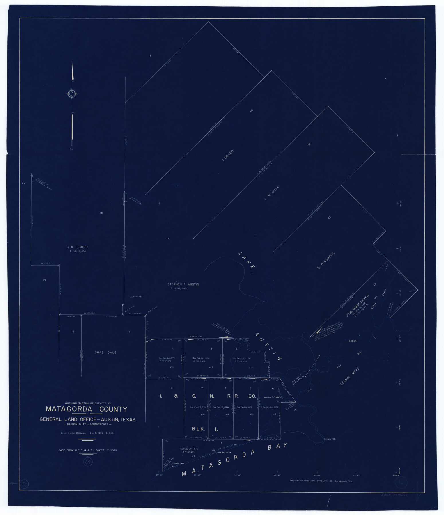
Matagorda County Working Sketch 13
-
Map/Doc
70871
-
Collection
General Map Collection
-
Object Dates
12/9/1949 (Creation Date)
-
People and Organizations
Otto G. Kurio (Draftsman)
-
Counties
Matagorda
-
Subjects
Surveying Working Sketch
-
Height x Width
41.5 x 35.7 inches
105.4 x 90.7 cm
-
Scale
1" = 600 varas
Part of: General Map Collection
Controlled Mosaic by Jack Amman Photogrammetric Engineers, Inc - Sheet 18

Print $20.00
- Digital $50.00
Controlled Mosaic by Jack Amman Photogrammetric Engineers, Inc - Sheet 18
1954
Size 20.0 x 24.0 inches
Map/Doc 83462
Kinney County Sketch File 37

Print $20.00
- Digital $50.00
Kinney County Sketch File 37
Size 19.0 x 23.4 inches
Map/Doc 11950
[Cotton Belt, St. Louis Southwestern Railway of Texas, Alignment through Smith County]
![64380, [Cotton Belt, St. Louis Southwestern Railway of Texas, Alignment through Smith County], General Map Collection](https://historictexasmaps.com/wmedia_w700/maps/64380.tif.jpg)
Print $20.00
- Digital $50.00
[Cotton Belt, St. Louis Southwestern Railway of Texas, Alignment through Smith County]
1903
Size 21.4 x 29.7 inches
Map/Doc 64380
Val Verde County Sketch File Z20

Print $20.00
- Digital $50.00
Val Verde County Sketch File Z20
1913
Size 11.5 x 9.0 inches
Map/Doc 39153
Nolan County Sketch File 3

Print $20.00
- Digital $50.00
Nolan County Sketch File 3
Size 8.0 x 36.6 inches
Map/Doc 42161
Real County Working Sketch 46

Print $20.00
- Digital $50.00
Real County Working Sketch 46
1956
Size 21.2 x 18.9 inches
Map/Doc 71938
Flight Mission No. DQN-6K, Frame 8, Calhoun County

Print $20.00
- Digital $50.00
Flight Mission No. DQN-6K, Frame 8, Calhoun County
1953
Size 18.5 x 22.1 inches
Map/Doc 84430
Flight Mission No. CGI-3N, Frame 185, Cameron County

Print $20.00
- Digital $50.00
Flight Mission No. CGI-3N, Frame 185, Cameron County
1954
Size 18.6 x 22.4 inches
Map/Doc 84649
Glasscock County Sketch File 4

Print $6.00
- Digital $50.00
Glasscock County Sketch File 4
Size 13.3 x 8.8 inches
Map/Doc 24161
Intracoastal Waterway in Texas - Corpus Christi to Point Isabel including Arroyo Colorado to Mo. Pac. R.R. Bridge Near Harlingen

Print $20.00
- Digital $50.00
Intracoastal Waterway in Texas - Corpus Christi to Point Isabel including Arroyo Colorado to Mo. Pac. R.R. Bridge Near Harlingen
1933
Size 28.2 x 40.7 inches
Map/Doc 61855
Texas, San Antonio Bay, Guadalupe Bay

Print $40.00
- Digital $50.00
Texas, San Antonio Bay, Guadalupe Bay
1934
Size 28.8 x 48.4 inches
Map/Doc 69999
Lampasas County Working Sketch 2

Print $20.00
- Digital $50.00
Lampasas County Working Sketch 2
1936
Size 14.4 x 18.0 inches
Map/Doc 70279
You may also like
Val Verde County Working Sketch 17

Print $20.00
- Digital $50.00
Val Verde County Working Sketch 17
1926
Size 16.5 x 27.8 inches
Map/Doc 72152
Clarendon, Texas, Donley Co.

Print $20.00
Clarendon, Texas, Donley Co.
1890
Size 15.7 x 26.6 inches
Map/Doc 89078
Bee County Working Sketch 29a

Print $20.00
- Digital $50.00
Bee County Working Sketch 29a
1988
Size 36.3 x 43.1 inches
Map/Doc 67279
Hudspeth County Rolled Sketch 66

Print $20.00
- Digital $50.00
Hudspeth County Rolled Sketch 66
1973
Size 11.9 x 20.5 inches
Map/Doc 6259
Chambers County Sketch File 45

Print $70.00
- Digital $50.00
Chambers County Sketch File 45
Size 8.9 x 8.3 inches
Map/Doc 17743
Marion County Sketch File 10

Print $4.00
- Digital $50.00
Marion County Sketch File 10
1867
Size 7.9 x 12.4 inches
Map/Doc 30579
Jackson County Rolled Sketch 9

Print $40.00
- Digital $50.00
Jackson County Rolled Sketch 9
1941
Size 50.7 x 32.1 inches
Map/Doc 9258
General Highway Map, Culberson County, Texas

Print $20.00
General Highway Map, Culberson County, Texas
1940
Size 25.2 x 18.5 inches
Map/Doc 79064
Presidio County Working Sketch 90

Print $20.00
- Digital $50.00
Presidio County Working Sketch 90
1973
Size 25.5 x 28.1 inches
Map/Doc 71767
Hudspeth County Working Sketch 51

Print $20.00
- Digital $50.00
Hudspeth County Working Sketch 51
Size 32.8 x 24.5 inches
Map/Doc 66336
Hardeman County Rolled Sketch 20

Print $40.00
- Digital $50.00
Hardeman County Rolled Sketch 20
Size 32.3 x 60.8 inches
Map/Doc 9102
Brewster County Rolled Sketch 62

Print $40.00
- Digital $50.00
Brewster County Rolled Sketch 62
1939
Size 89.5 x 44.0 inches
Map/Doc 8487