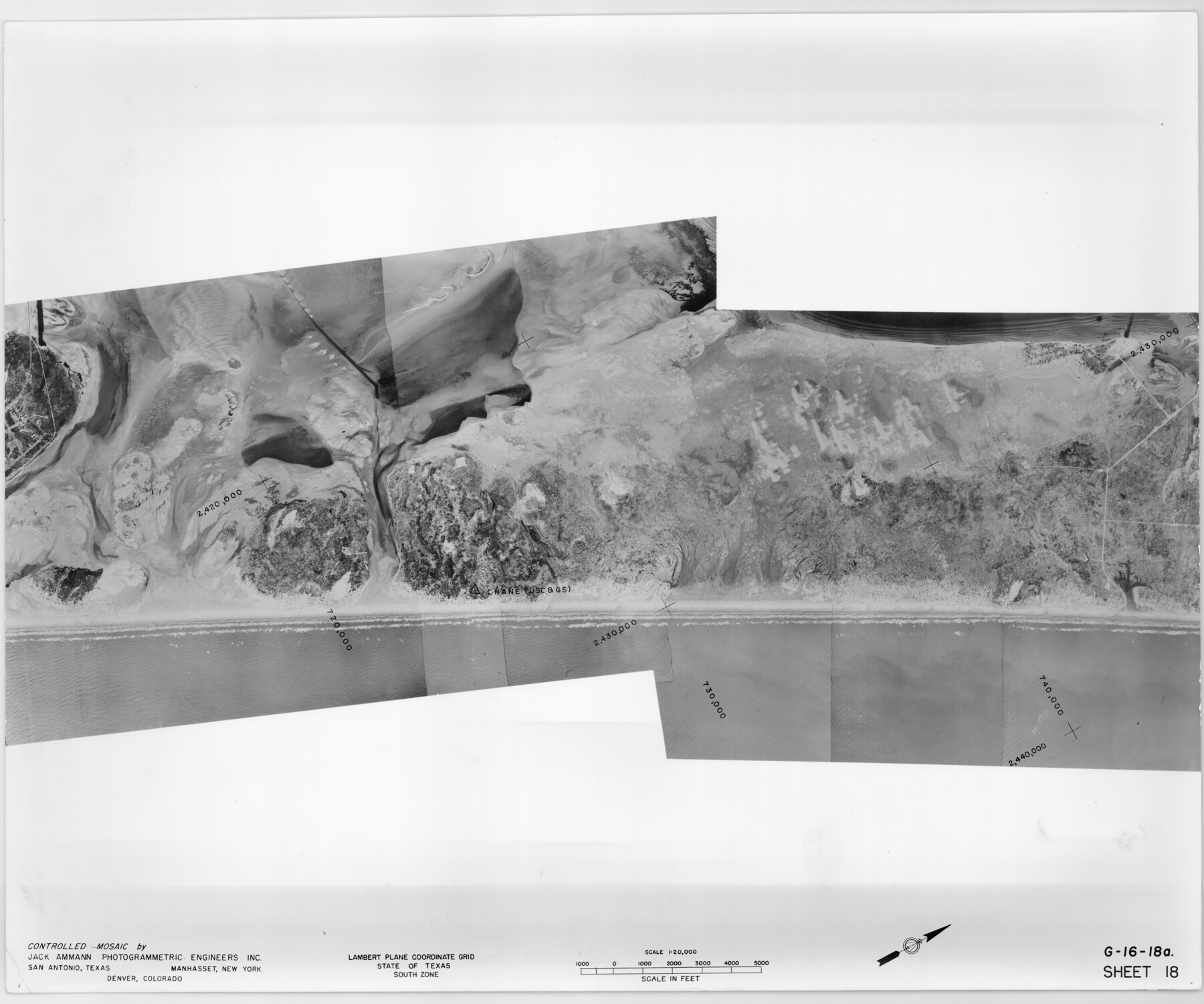
Controlled Mosaic by Jack Amman Photogrammetric Engineers, Inc - Sheet 18
[Coastal Aerial Photograph]
G-16-18a
-
Map/Doc
83462
-
Collection
General Map Collection
-
Object Dates
1954 (Creation Date)
-
Subjects
Aerial Photograph
-
Height x Width
20.0 x 24.0 inches
50.8 x 61.0 cm
-
Comments
Statement on reverse side: "The reverse reflects the data shown thereon which was obtained by aerial survey made from December 31, 1953 to March 17, 1954 by Jack Ammann Photogrammetric Engineers, Inc."
Part of: General Map Collection
Hutchinson County Working Sketch 3

Print $20.00
- Digital $50.00
Hutchinson County Working Sketch 3
Size 18.2 x 15.8 inches
Map/Doc 66361

Morris County Rolled Sketch 2A

Print $20.00
- Digital $50.00
Morris County Rolled Sketch 2A
Size 24.0 x 18.8 inches
Map/Doc 10254
Maps of Gulf Intracoastal Waterway, Texas - Sabine River to the Rio Grande and connecting waterways including ship channels

Print $20.00
- Digital $50.00
Maps of Gulf Intracoastal Waterway, Texas - Sabine River to the Rio Grande and connecting waterways including ship channels
1966
Size 14.6 x 22.2 inches
Map/Doc 61958
Edwards County Sketch File 21

Print $6.00
- Digital $50.00
Edwards County Sketch File 21
1889
Size 12.9 x 8.5 inches
Map/Doc 21740
Cochran County Working Sketch 2

Print $40.00
- Digital $50.00
Cochran County Working Sketch 2
1971
Size 52.9 x 45.3 inches
Map/Doc 68013
Nautical Chart 885-SC Intracoastal Waterway - Ellender to Galveston Bay, Louisiana-Texas

Print $40.00
- Digital $50.00
Nautical Chart 885-SC Intracoastal Waterway - Ellender to Galveston Bay, Louisiana-Texas
1972
Size 16.1 x 59.4 inches
Map/Doc 69836
Hansford County Boundary File 2a

Print $40.00
- Digital $50.00
Hansford County Boundary File 2a
Size 14.2 x 8.7 inches
Map/Doc 54252

Harris County Rolled Sketch 28

Print $20.00
- Digital $50.00
Harris County Rolled Sketch 28
Size 29.8 x 47.3 inches
Map/Doc 6095
[Surveys along the Bosque River]
![236, [Surveys along the Bosque River], General Map Collection](https://historictexasmaps.com/wmedia_w700/maps/236.tif.jpg)
Print $3.00
- Digital $50.00
[Surveys along the Bosque River]
1846
Size 9.4 x 12.8 inches
Map/Doc 236
Presidio County Working Sketch 56

Print $20.00
- Digital $50.00
Presidio County Working Sketch 56
1955
Size 13.9 x 22.0 inches
Map/Doc 71733
You may also like
Webb County Working Sketch 72

Print $20.00
- Digital $50.00
Webb County Working Sketch 72
1974
Size 22.1 x 38.2 inches
Map/Doc 72439
Red River County Working Sketch 24

Print $20.00
- Digital $50.00
Red River County Working Sketch 24
1958
Size 29.3 x 23.7 inches
Map/Doc 72007
Fort Bend Co.

Print $20.00
- Digital $50.00
Fort Bend Co.
1931
Size 40.2 x 41.8 inches
Map/Doc 95500
El Paso County Boundary File 13

Print $37.00
- Digital $50.00
El Paso County Boundary File 13
Size 11.1 x 8.6 inches
Map/Doc 53161
Brewster County Sketch File NS-5

Print $22.00
- Digital $50.00
Brewster County Sketch File NS-5
Size 11.2 x 8.8 inches
Map/Doc 15983
Intracoastal Waterway in Texas - Corpus Christi to Point Isabel including Arroyo Colorado to Mo. Pac. R.R. Bridge Near Harlingen

Print $20.00
- Digital $50.00
Intracoastal Waterway in Texas - Corpus Christi to Point Isabel including Arroyo Colorado to Mo. Pac. R.R. Bridge Near Harlingen
1933
Size 27.9 x 40.8 inches
Map/Doc 61878
Newton County Working Sketch 41

Print $20.00
- Digital $50.00
Newton County Working Sketch 41
1979
Size 17.8 x 26.2 inches
Map/Doc 71287
Ochiltree County School Land League Number 204

Print $20.00
- Digital $50.00
Ochiltree County School Land League Number 204
1926
Size 20.8 x 13.7 inches
Map/Doc 92473
Briscoe County Sketch File J

Print $40.00
- Digital $50.00
Briscoe County Sketch File J
1919
Size 19.3 x 32.0 inches
Map/Doc 11007
Dawson County Working Sketch 1

Print $20.00
- Digital $50.00
Dawson County Working Sketch 1
Size 11.1 x 14.1 inches
Map/Doc 68545
Flight Mission No. CGI-1N, Frame 186, Cameron County

Print $20.00
- Digital $50.00
Flight Mission No. CGI-1N, Frame 186, Cameron County
1955
Size 18.5 x 22.1 inches
Map/Doc 84521
Donley County Sketch File B12

Print $6.00
- Digital $50.00
Donley County Sketch File B12
1982
Size 9.1 x 14.6 inches
Map/Doc 21276