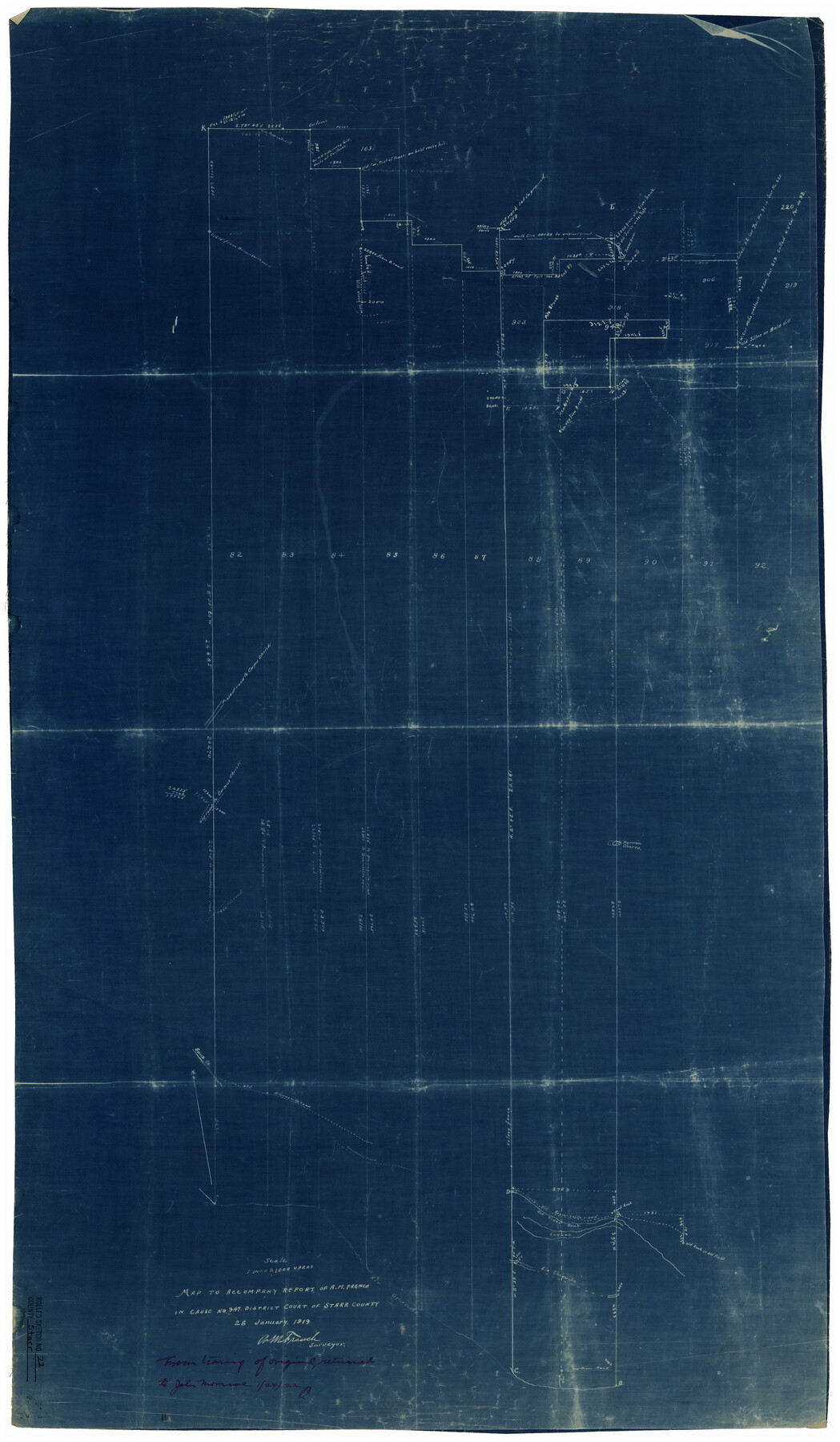
Starr County Rolled Sketch 22
Map to accompany report of A.M. French in Cause no. 947, District Court of Starr County
-
Map/Doc
7806
-
Collection
General Map Collection
-
Object Dates
1/25/1919 (Creation Date)
1/24/1922 (File Date)
-
People and Organizations
A.M. French (Surveyor/Engineer)
-
Counties
Starr
-
Subjects
Surveying Rolled Sketch
-
Height x Width
37.3 x 22.3 inches
94.7 x 56.6 cm
-
Medium
blueprint/diazo
-
Scale
1" = 1000 varas
Part of: General Map Collection
Kinney County Sketch File 30

Print $10.00
- Digital $50.00
Kinney County Sketch File 30
1933
Size 11.3 x 8.7 inches
Map/Doc 29171
Pecos County Rolled Sketch 78

Print $40.00
- Digital $50.00
Pecos County Rolled Sketch 78
1930
Size 52.6 x 44.1 inches
Map/Doc 9705
Flight Mission No. CRK-5P, Frame 158, Refugio County

Print $20.00
- Digital $50.00
Flight Mission No. CRK-5P, Frame 158, Refugio County
1956
Size 18.6 x 22.5 inches
Map/Doc 86939
Tom Green County Sketch File 35

Print $6.00
- Digital $50.00
Tom Green County Sketch File 35
Size 10.2 x 15.9 inches
Map/Doc 38192
Anderson County Working Sketch 22

Print $20.00
- Digital $50.00
Anderson County Working Sketch 22
1954
Size 22.7 x 24.2 inches
Map/Doc 67022
Angelina County Sketch File 31

Print $8.00
- Digital $50.00
Angelina County Sketch File 31
1988
Size 11.2 x 8.8 inches
Map/Doc 13089
Aransas County Rolled Sketch 33

Print $20.00
- Digital $50.00
Aransas County Rolled Sketch 33
1997
Size 24.5 x 36.8 inches
Map/Doc 78495
Edwards County Working Sketch 5

Print $20.00
- Digital $50.00
Edwards County Working Sketch 5
1907
Size 14.9 x 23.4 inches
Map/Doc 68881
General Homes Free Houston Area Map

General Homes Free Houston Area Map
Size 27.3 x 42.5 inches
Map/Doc 94394
Map of the State of Texas published by the International and Gt. Northern Railroad

Print $20.00
- Digital $50.00
Map of the State of Texas published by the International and Gt. Northern Railroad
1881
Size 16.0 x 22.2 inches
Map/Doc 94092
Galveston County NRC Article 33.136 Sketch 72

Print $78.00
- Digital $50.00
Galveston County NRC Article 33.136 Sketch 72
2013
Size 24.0 x 36.0 inches
Map/Doc 95081
Goliad County Rolled Sketch 5

Print $20.00
- Digital $50.00
Goliad County Rolled Sketch 5
1956
Size 26.5 x 29.5 inches
Map/Doc 6025
You may also like
Jasper County Sketch File 21

Print $4.00
- Digital $50.00
Jasper County Sketch File 21
Size 13.4 x 8.9 inches
Map/Doc 27820
Rio Grande, Santa Rosa Sheet

Print $20.00
- Digital $50.00
Rio Grande, Santa Rosa Sheet
1937
Size 37.3 x 37.3 inches
Map/Doc 65116
General Highway Map, Young County, Texas

Print $20.00
General Highway Map, Young County, Texas
1940
Size 18.4 x 24.8 inches
Map/Doc 79286
Wilbarger County Sketch File 7a

Print $4.00
- Digital $50.00
Wilbarger County Sketch File 7a
1885
Size 14.3 x 8.6 inches
Map/Doc 40177
Harris County Historic Topographic 36

Print $20.00
- Digital $50.00
Harris County Historic Topographic 36
1916
Size 29.5 x 23.0 inches
Map/Doc 65847
Flight Mission No. BQY-4M, Frame 43, Harris County

Print $20.00
- Digital $50.00
Flight Mission No. BQY-4M, Frame 43, Harris County
1953
Size 18.6 x 22.3 inches
Map/Doc 85258
PSL Field Notes for Blocks C13 and C14 in Jeff Davis and Reeves Counties, Block C17 in Culberson and Reeves Counties, and Blocks C11, C12, C15, C16, C18, C19, C20, and C21 in Reeves County

PSL Field Notes for Blocks C13 and C14 in Jeff Davis and Reeves Counties, Block C17 in Culberson and Reeves Counties, and Blocks C11, C12, C15, C16, C18, C19, C20, and C21 in Reeves County
Map/Doc 81672
Webb County Sketch File 1-1

Print $4.00
- Digital $50.00
Webb County Sketch File 1-1
1857
Size 8.6 x 8.4 inches
Map/Doc 39708
La Salle County Sketch File 42 and 42a

Print $28.00
- Digital $50.00
La Salle County Sketch File 42 and 42a
1926
Size 11.1 x 8.9 inches
Map/Doc 29597
Dimmit County Working Sketch 56

Print $20.00
- Digital $50.00
Dimmit County Working Sketch 56
1990
Size 23.0 x 29.0 inches
Map/Doc 68717

Washington County Working Sketch 4

Print $20.00
- Digital $50.00
Washington County Working Sketch 4
1992
Size 28.2 x 25.2 inches
Map/Doc 72365