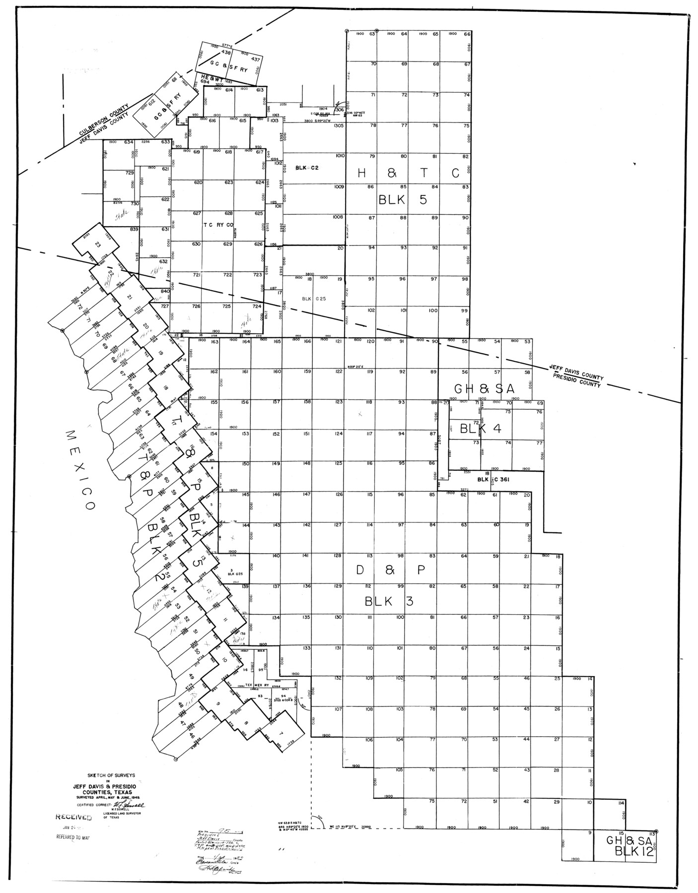
Presidio County Rolled Sketch 95
Sketch of surveys in Jeff Davis & Presidio Counties, Texas
-
Map/Doc
9781
-
Collection
General Map Collection
-
Object Dates
6/1949 (Creation Date)
1/24/1950 (File Date)
-
People and Organizations
W.F. Sowell (Surveyor/Engineer)
-
Counties
Presidio Jeff Davis Culberson
-
Subjects
Surveying Rolled Sketch
-
Height x Width
45.4 x 37.5 inches
115.3 x 95.3 cm
-
Comments
See Presidio County Sketch File 85 (34745) for report.
Related maps
Presidio County Sketch File 85

Print $6.00
- Digital $50.00
Presidio County Sketch File 85
1950
Size 14.3 x 8.9 inches
Map/Doc 34745
Part of: General Map Collection

Map of the country adjacent to the left bank of the Rio Grande below Matamoros

Print $20.00
- Digital $50.00
Map of the country adjacent to the left bank of the Rio Grande below Matamoros
1847
Size 18.3 x 27.5 inches
Map/Doc 72867
Intracoastal Waterway in Texas - Corpus Christi to Point Isabel including Arroyo Colorado to Mo. Pac. R.R. Bridge Near Harlingen

Print $20.00
- Digital $50.00
Intracoastal Waterway in Texas - Corpus Christi to Point Isabel including Arroyo Colorado to Mo. Pac. R.R. Bridge Near Harlingen
1933
Size 27.7 x 40.9 inches
Map/Doc 61859
Roberts County Working Sketch 22

Print $20.00
- Digital $50.00
Roberts County Working Sketch 22
1978
Size 31.0 x 42.9 inches
Map/Doc 63548
Right of Way and Track Map, International & Gt. Northern Ry. Operated by the International & Gt. Northern Ry. Co. Gulf Division, Mineola Branch

Print $40.00
- Digital $50.00
Right of Way and Track Map, International & Gt. Northern Ry. Operated by the International & Gt. Northern Ry. Co. Gulf Division, Mineola Branch
1917
Size 25.5 x 116.7 inches
Map/Doc 64701
Harrison County Working Sketch 33

Print $20.00
- Digital $50.00
Harrison County Working Sketch 33
2015
Size 19.8 x 22.8 inches
Map/Doc 93725
Jasper County Working Sketch 1

Print $20.00
- Digital $50.00
Jasper County Working Sketch 1
Size 18.2 x 23.4 inches
Map/Doc 66463
San Antonio and Aransas Pass Ry. from Survey Station 4852+100 to Survey Station 5280+00

Print $4.00
- Digital $50.00
San Antonio and Aransas Pass Ry. from Survey Station 4852+100 to Survey Station 5280+00
Size 11.8 x 18.6 inches
Map/Doc 62570
Menard County Working Sketch 6

Print $20.00
- Digital $50.00
Menard County Working Sketch 6
1924
Size 24.4 x 15.3 inches
Map/Doc 70953
Matagorda County Sketch File 24

Print $10.00
- Digital $50.00
Matagorda County Sketch File 24
1900
Size 8.2 x 5.1 inches
Map/Doc 30787
Young County Rolled Sketch 13

Print $20.00
- Digital $50.00
Young County Rolled Sketch 13
1966
Size 24.8 x 16.9 inches
Map/Doc 8301
Flight Mission No. DQN-2K, Frame 66, Calhoun County

Print $20.00
- Digital $50.00
Flight Mission No. DQN-2K, Frame 66, Calhoun County
1953
Size 18.9 x 22.3 inches
Map/Doc 84258
You may also like
Tom Green County Boundary File 87

Print $10.00
- Digital $50.00
Tom Green County Boundary File 87
Size 9.1 x 4.0 inches
Map/Doc 59393
Ward County Rolled Sketch PMY

Print $40.00
- Digital $50.00
Ward County Rolled Sketch PMY
1935
Size 14.4 x 74.5 inches
Map/Doc 10104
Real County Sketch File 5

Print $20.00
- Digital $50.00
Real County Sketch File 5
Size 16.9 x 20.9 inches
Map/Doc 12228
St. Louis, Brownsville & Mexico Railway Location Map from Mile 20 to Mile 40

Print $40.00
- Digital $50.00
St. Louis, Brownsville & Mexico Railway Location Map from Mile 20 to Mile 40
1905
Size 19.2 x 61.4 inches
Map/Doc 64078
Chambers County Sketch File 54

Print $3.00
- Digital $50.00
Chambers County Sketch File 54
1895
Size 16.5 x 10.3 inches
Map/Doc 18093
Tom Green County Sketch File 38

Print $20.00
- Digital $50.00
Tom Green County Sketch File 38
Size 13.7 x 23.0 inches
Map/Doc 12438
The Republic County of Goliad. Boundaries Defined, December 2, 1841

Print $20.00
The Republic County of Goliad. Boundaries Defined, December 2, 1841
2020
Size 17.5 x 21.7 inches
Map/Doc 96151
Flight Mission No. BQR-13K, Frame 21, Brazoria County

Print $20.00
- Digital $50.00
Flight Mission No. BQR-13K, Frame 21, Brazoria County
1952
Size 18.8 x 22.4 inches
Map/Doc 84069

Loving County Rolled Sketch 11

Print $146.00
- Digital $50.00
Loving County Rolled Sketch 11
Size 10.4 x 15.5 inches
Map/Doc 46605
Willacy County

Print $20.00
- Digital $50.00
Willacy County
1921
Size 23.5 x 31.0 inches
Map/Doc 77459
Flight Mission No. DIX-6P, Frame 135, Aransas County

Print $20.00
- Digital $50.00
Flight Mission No. DIX-6P, Frame 135, Aransas County
1956
Size 19.5 x 23.0 inches
Map/Doc 83841