Loving County Rolled Sketch 11
Right of way map of (feeder road) 276, US-285 from highway no. 27 to Mentone
-
Map/Doc
46605
-
Collection
General Map Collection
-
Object Dates
1996/3/13 (File Date)
-
Counties
Loving
-
Subjects
Surveying Rolled Sketch
-
Height x Width
10.4 x 15.5 inches
26.4 x 39.4 cm
-
Medium
paper, photocopy
Part of: General Map Collection
Cameron County Rolled Sketch 25


Print $20.00
- Digital $50.00
Cameron County Rolled Sketch 25
1977
Size 24.7 x 36.7 inches
Map/Doc 5795
Flight Mission No. BQY-4M, Frame 124, Harris County


Print $20.00
- Digital $50.00
Flight Mission No. BQY-4M, Frame 124, Harris County
1953
Size 18.7 x 22.4 inches
Map/Doc 85292
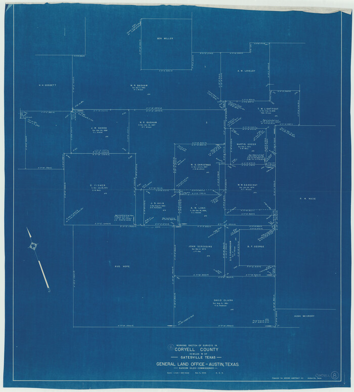
Coryell County Working Sketch 8

Print $20.00
- Digital $50.00
Coryell County Working Sketch 8
1945
Size 36.5 x 33.0 inches
Map/Doc 68215
Map of Castro's Colony - Bexar District


Print $20.00
- Digital $50.00
Map of Castro's Colony - Bexar District
1851
Size 36.4 x 33.1 inches
Map/Doc 1962
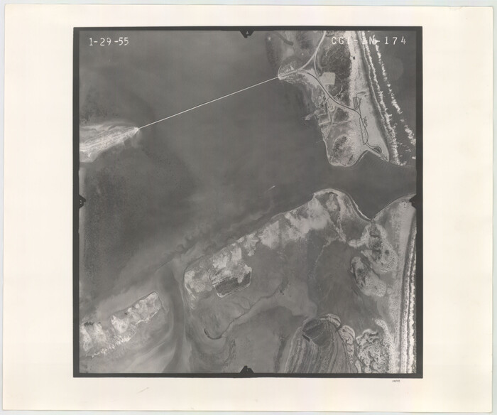
Flight Mission No. CGI-1N, Frame 174, Cameron County

Print $20.00
- Digital $50.00
Flight Mission No. CGI-1N, Frame 174, Cameron County
1955
Size 18.5 x 22.1 inches
Map/Doc 84509
Flight Mission No. CRE-1R, Frame 122, Jackson County


Print $20.00
- Digital $50.00
Flight Mission No. CRE-1R, Frame 122, Jackson County
1956
Size 16.2 x 16.0 inches
Map/Doc 85333
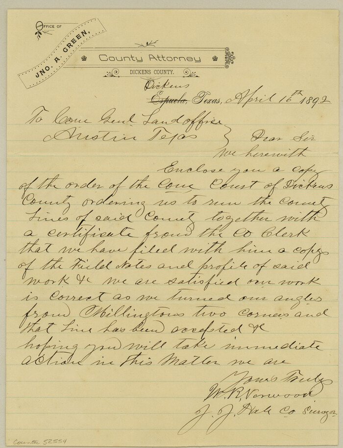
Dickens County Boundary File 5

Print $12.00
- Digital $50.00
Dickens County Boundary File 5
Size 10.8 x 8.2 inches
Map/Doc 52554
[Surveys in Chambers County]
![249, [Surveys in Chambers County], General Map Collection](https://historictexasmaps.com/wmedia_w700/maps/249.tif.jpg)
![249, [Surveys in Chambers County], General Map Collection](https://historictexasmaps.com/wmedia_w700/maps/249.tif.jpg)
Print $2.00
- Digital $50.00
[Surveys in Chambers County]
1847
Size 7.8 x 5.0 inches
Map/Doc 249
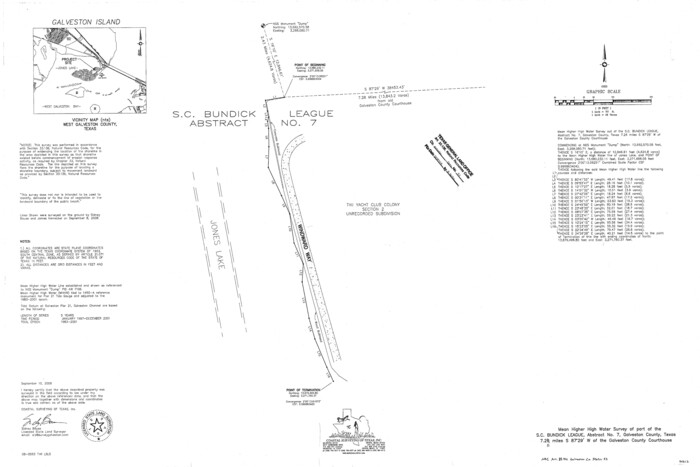
Galveston County NRC Article 33.136 Sketch 52

Print $26.00
- Digital $50.00
Galveston County NRC Article 33.136 Sketch 52
2008
Size 24.0 x 36.0 inches
Map/Doc 94612
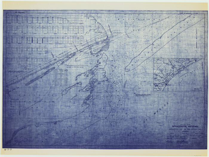
Louisiana and Texas Intracoastal Waterway - Matagorda Bay to San Antonio Bay Dredging - Sheet 1

Print $20.00
- Digital $50.00
Louisiana and Texas Intracoastal Waterway - Matagorda Bay to San Antonio Bay Dredging - Sheet 1
1938
Size 31.1 x 41.3 inches
Map/Doc 61814
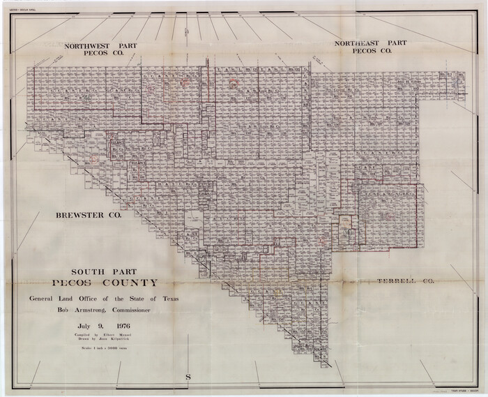
Pecos County Working Sketch Graphic Index - south part

Print $20.00
- Digital $50.00
Pecos County Working Sketch Graphic Index - south part
1976
Size 35.3 x 43.2 inches
Map/Doc 76665
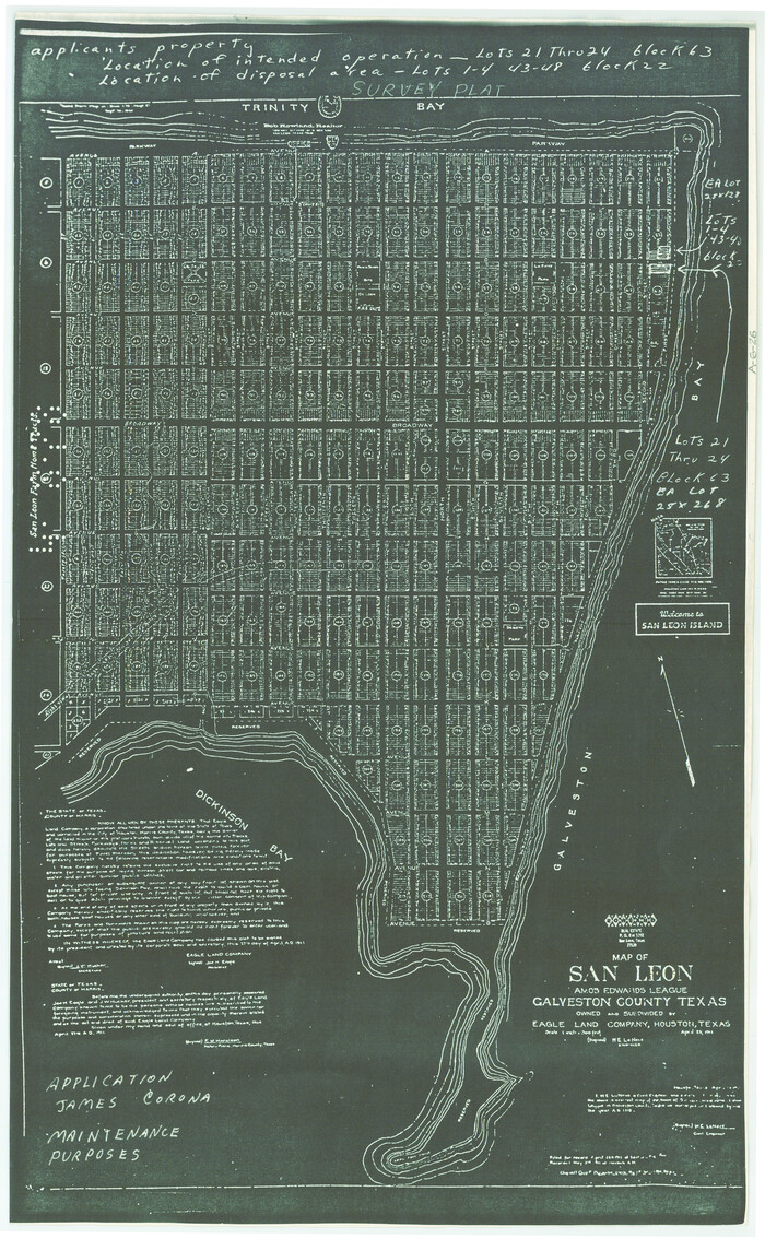
Map of San Leon, Amos Edwards League, Galveston County, Texas

Print $20.00
- Digital $50.00
Map of San Leon, Amos Edwards League, Galveston County, Texas
1911
Size 22.9 x 14.1 inches
Map/Doc 3037
You may also like
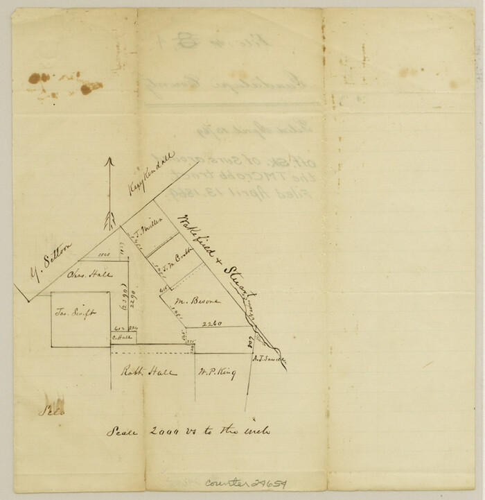
Guadalupe County Sketch File 4

Print $4.00
- Digital $50.00
Guadalupe County Sketch File 4
1869
Size 8.2 x 7.9 inches
Map/Doc 24654
Red River County Working Sketch 31
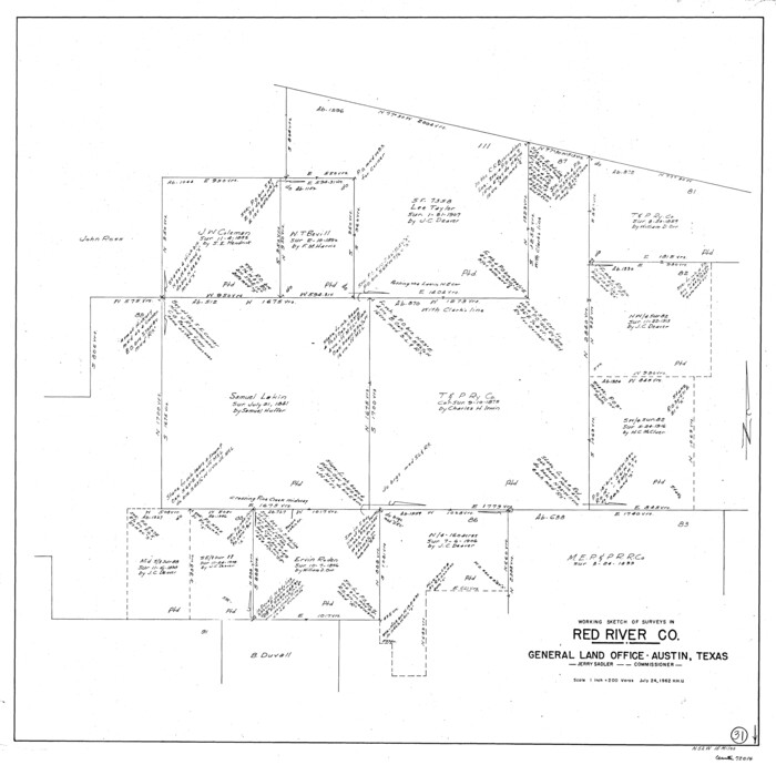

Print $20.00
- Digital $50.00
Red River County Working Sketch 31
1962
Size 30.9 x 31.3 inches
Map/Doc 72014
Kimble County Working Sketch 35


Print $20.00
- Digital $50.00
Kimble County Working Sketch 35
1946
Size 24.7 x 32.0 inches
Map/Doc 70103
Comanche County Boundary File 2c


Print $8.00
- Digital $50.00
Comanche County Boundary File 2c
Size 14.3 x 8.9 inches
Map/Doc 51796
Williamson County Boundary File 3


Print $20.00
- Digital $50.00
Williamson County Boundary File 3
Size 18.5 x 23.6 inches
Map/Doc 60012
Flight Mission No. BRA-3M, Frame 191, Jefferson County


Print $20.00
- Digital $50.00
Flight Mission No. BRA-3M, Frame 191, Jefferson County
1953
Size 18.6 x 22.3 inches
Map/Doc 85406
Gregg County Rolled Sketch 27


Print $137.00
- Digital $50.00
Gregg County Rolled Sketch 27
1933
Size 10.4 x 15.3 inches
Map/Doc 45625
Stephens County Working Sketch 10
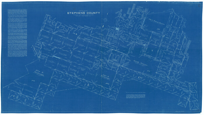

Print $40.00
- Digital $50.00
Stephens County Working Sketch 10
1921
Size 36.1 x 64.1 inches
Map/Doc 63953
Sherman County
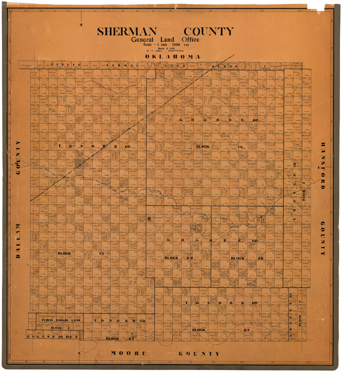

Print $20.00
- Digital $50.00
Sherman County
1932
Size 38.7 x 36.3 inches
Map/Doc 73289
Lubbock County Sketch File 13
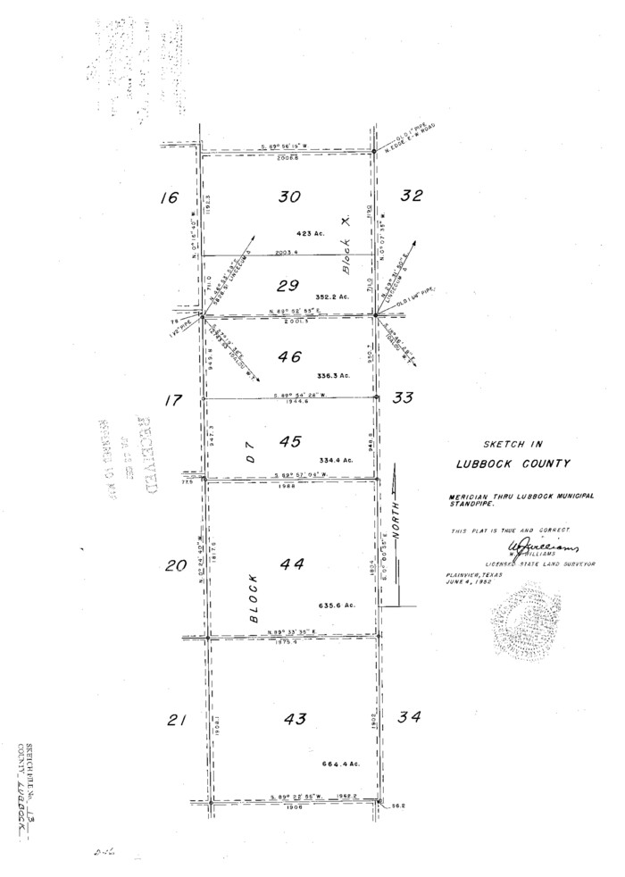

Print $20.00
- Digital $50.00
Lubbock County Sketch File 13
1952
Size 20.4 x 14.5 inches
Map/Doc 12018
Flight Mission No. DQN-6K, Frame 17, Calhoun County
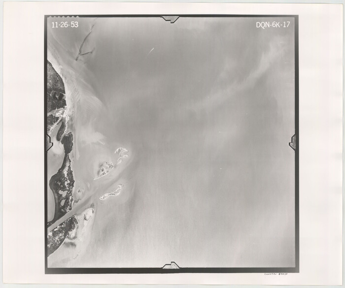

Print $20.00
- Digital $50.00
Flight Mission No. DQN-6K, Frame 17, Calhoun County
1953
Size 18.5 x 22.1 inches
Map/Doc 84439
[Sketch for Mineral Application 16341 - Clear Fork of Brazos River, Taylor & Holcomb]
![65571, [Sketch for Mineral Application 16341 - Clear Fork of Brazos River, Taylor & Holcomb], General Map Collection](https://historictexasmaps.com/wmedia_w700/maps/65571.tif.jpg)
![65571, [Sketch for Mineral Application 16341 - Clear Fork of Brazos River, Taylor & Holcomb], General Map Collection](https://historictexasmaps.com/wmedia_w700/maps/65571.tif.jpg)
Print $40.00
- Digital $50.00
[Sketch for Mineral Application 16341 - Clear Fork of Brazos River, Taylor & Holcomb]
1926
Size 122.3 x 36.7 inches
Map/Doc 65571
