[Sketch for Mineral Application 16341 - Clear Fork of Brazos River, Taylor & Holcomb]
K-1-33
-
Map/Doc
65571
-
Collection
General Map Collection
-
Object Dates
1926 (Creation Date)
-
Subjects
Energy Offshore Submerged Area
-
Height x Width
122.3 x 36.7 inches
310.6 x 93.2 cm
Part of: General Map Collection
Refugio County Sketch File 8b


Print $4.00
- Digital $50.00
Refugio County Sketch File 8b
1876
Size 8.5 x 10.5 inches
Map/Doc 35254
Presidio County Rolled Sketch 65


Print $20.00
- Digital $50.00
Presidio County Rolled Sketch 65
Size 23.1 x 28.3 inches
Map/Doc 7356
Traveller's Map of the State of Texas


Print $20.00
- Digital $50.00
Traveller's Map of the State of Texas
1867
Size 40.6 x 38.2 inches
Map/Doc 4327
Reeves County Working Sketch 7
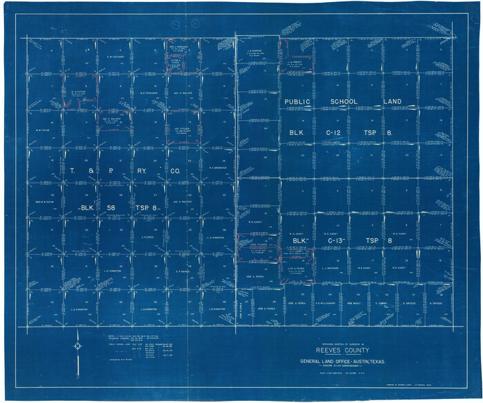

Print $20.00
- Digital $50.00
Reeves County Working Sketch 7
1946
Size 36.7 x 43.9 inches
Map/Doc 63450
Travis County
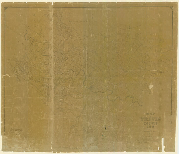

Print $40.00
- Digital $50.00
Travis County
1880
Size 59.4 x 68.7 inches
Map/Doc 16903
[Surveys in Polk and Chambers Counties]
![355, [Surveys in Polk and Chambers Counties], General Map Collection](https://historictexasmaps.com/wmedia_w700/maps/355.tif.jpg)
![355, [Surveys in Polk and Chambers Counties], General Map Collection](https://historictexasmaps.com/wmedia_w700/maps/355.tif.jpg)
Print $3.00
- Digital $50.00
[Surveys in Polk and Chambers Counties]
Size 11.7 x 14.4 inches
Map/Doc 355
Maverick County Working Sketch 13
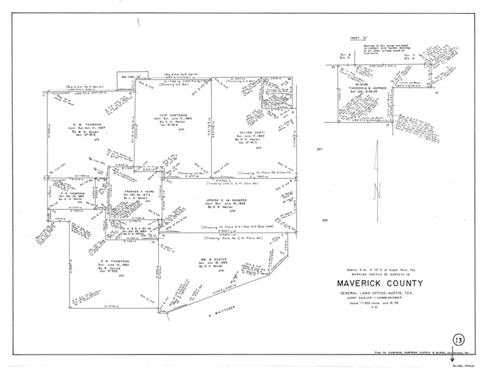

Print $20.00
- Digital $50.00
Maverick County Working Sketch 13
1969
Size 27.3 x 35.8 inches
Map/Doc 70905
Texas and the Great War


Print $20.00
- Digital $50.00
Texas and the Great War
2017
Size 24.3 x 18.3 inches
Map/Doc 94412
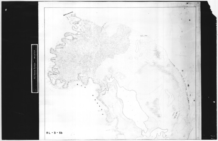
Map of the country adjacent to the left bank of the Rio Grande below Matamoros

Print $20.00
- Digital $50.00
Map of the country adjacent to the left bank of the Rio Grande below Matamoros
1847
Size 18.3 x 28.2 inches
Map/Doc 72871
Zavala County Sketch File 11


Print $4.00
- Digital $50.00
Zavala County Sketch File 11
1885
Size 14.4 x 8.8 inches
Map/Doc 41270
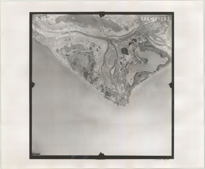
Flight Mission No. CRK-8P, Frame 102, Refugio County

Print $20.00
- Digital $50.00
Flight Mission No. CRK-8P, Frame 102, Refugio County
1956
Size 18.2 x 22.0 inches
Map/Doc 86963
You may also like
Matagorda County Aerial Photograph Index Sheet 5


Print $20.00
- Digital $50.00
Matagorda County Aerial Photograph Index Sheet 5
1953
Size 23.6 x 19.5 inches
Map/Doc 83726
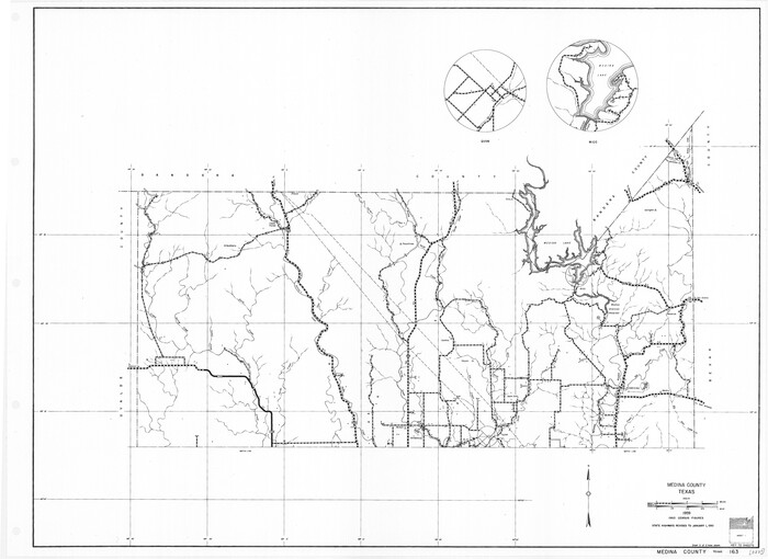
General Highway Map, Medina County, Texas

Print $20.00
General Highway Map, Medina County, Texas
1961
Size 18.2 x 25.0 inches
Map/Doc 79594
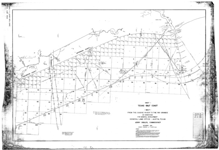
Map from the Sabine River to the Rio Grande as subdivided for mineral development

Print $20.00
- Digital $50.00
Map from the Sabine River to the Rio Grande as subdivided for mineral development
Size 30.6 x 44.8 inches
Map/Doc 65801
Harris County Sketch File 79
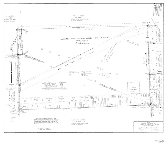

Print $20.00
- Digital $50.00
Harris County Sketch File 79
1972
Size 28.9 x 33.2 inches
Map/Doc 10481
Flight Mission No. BRE-1P, Frame 67, Nueces County
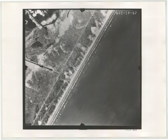

Print $20.00
- Digital $50.00
Flight Mission No. BRE-1P, Frame 67, Nueces County
1956
Size 18.7 x 22.4 inches
Map/Doc 86649
[Sketch for Mineral Application 11318 - Arenosa Creek, S. G. Drushel]
![65648, [Sketch for Mineral Application 11318 - Arenosa Creek, S. G. Drushel], General Map Collection](https://historictexasmaps.com/wmedia_w700/maps/65648-1.tif.jpg)
![65648, [Sketch for Mineral Application 11318 - Arenosa Creek, S. G. Drushel], General Map Collection](https://historictexasmaps.com/wmedia_w700/maps/65648-1.tif.jpg)
Print $40.00
- Digital $50.00
[Sketch for Mineral Application 11318 - Arenosa Creek, S. G. Drushel]
Size 79.1 x 25.7 inches
Map/Doc 65648
Maps & Lists Showing Prison Lands (Oil & Gas) Leased as of June 1955
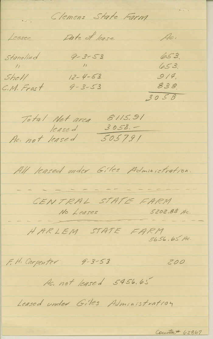

Digital $50.00
Maps & Lists Showing Prison Lands (Oil & Gas) Leased as of June 1955
Size 11.4 x 7.2 inches
Map/Doc 62867
Houston Ship Channel, Alexander Island to Carpenter Bayou


Print $20.00
- Digital $50.00
Houston Ship Channel, Alexander Island to Carpenter Bayou
1960
Size 35.2 x 46.5 inches
Map/Doc 69905
Terrell County Working Sketch 16


Print $40.00
- Digital $50.00
Terrell County Working Sketch 16
1927
Size 37.7 x 51.4 inches
Map/Doc 62165
St. Louis Southwestern Railway of Texas


Print $20.00
- Digital $50.00
St. Louis Southwestern Railway of Texas
1906
Size 22.5 x 30.5 inches
Map/Doc 64449
Stonewall County Working Sketch 33


Print $40.00
- Digital $50.00
Stonewall County Working Sketch 33
1984
Size 70.4 x 42.8 inches
Map/Doc 62340
A Geographically Correct Map of the State of Texas
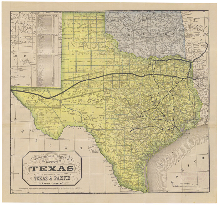

Print $20.00
- Digital $50.00
A Geographically Correct Map of the State of Texas
1876
Size 20.4 x 21.7 inches
Map/Doc 95361
![65571, [Sketch for Mineral Application 16341 - Clear Fork of Brazos River, Taylor & Holcomb], General Map Collection](https://historictexasmaps.com/wmedia_w1800h1800/maps/65571.tif.jpg)
