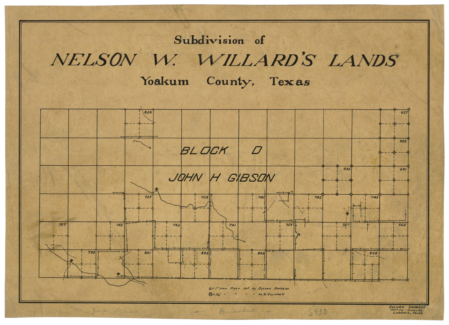
Subdivision of Nelson W. Willard's Lands
-
Map/Doc
92448
-
Collection
Twichell Survey Records
-
People and Organizations
Sylvan Sanders (Surveyor/Engineer)
-
Counties
Yoakum
-
Height x Width
15.0 x 10.8 inches
38.1 x 27.4 cm
Part of: Twichell Survey Records
[H. & T. C. Blocks 47 1/2 and 48, Capitol Lands]
![90639, [H. & T. C. Blocks 47 1/2 and 48, Capitol Lands], Twichell Survey Records](https://historictexasmaps.com/wmedia_w700/maps/90639-1.tif.jpg)
Print $20.00
- Digital $50.00
[H. & T. C. Blocks 47 1/2 and 48, Capitol Lands]
Size 19.9 x 24.8 inches
Map/Doc 90639
[Area along West County Line]
![90833, [Area along West County Line], Twichell Survey Records](https://historictexasmaps.com/wmedia_w700/maps/90833-2.tif.jpg)
Print $2.00
- Digital $50.00
[Area along West County Line]
Size 7.0 x 9.6 inches
Map/Doc 90833
Whitehead Addition, City of Lubbock

Print $20.00
- Digital $50.00
Whitehead Addition, City of Lubbock
Size 17.9 x 24.6 inches
Map/Doc 92779
Gregg County School Land League 2

Print $2.00
- Digital $50.00
Gregg County School Land League 2
Size 9.0 x 9.3 inches
Map/Doc 90541
[Leagues 247, 320, and 321]
![91291, [Leagues 247, 320, and 321], Twichell Survey Records](https://historictexasmaps.com/wmedia_w700/maps/91291-1.tif.jpg)
Print $2.00
- Digital $50.00
[Leagues 247, 320, and 321]
Size 8.2 x 15.1 inches
Map/Doc 91291
[State Capitol Lands]
![91608, [State Capitol Lands], Twichell Survey Records](https://historictexasmaps.com/wmedia_w700/maps/91608-1.tif.jpg)
Print $20.00
- Digital $50.00
[State Capitol Lands]
1902
Size 28.2 x 32.8 inches
Map/Doc 91608
J. W. Kendrick Land, Crosby County, Texas

Print $20.00
- Digital $50.00
J. W. Kendrick Land, Crosby County, Texas
Size 42.8 x 33.7 inches
Map/Doc 92603
"G" Sketch from Gaines County

Print $20.00
- Digital $50.00
"G" Sketch from Gaines County
1902
Size 31.7 x 21.7 inches
Map/Doc 90839
Adrian Heights Adition (sic) to Adrian Located in Section 16, Block K11

Print $2.00
- Digital $50.00
Adrian Heights Adition (sic) to Adrian Located in Section 16, Block K11
Size 15.6 x 7.7 inches
Map/Doc 92096
[South Center of County near surveys 1144 and 1143]
![90502, [South Center of County near surveys 1144 and 1143], Twichell Survey Records](https://historictexasmaps.com/wmedia_w700/maps/90502-1.tif.jpg)
Print $2.00
- Digital $50.00
[South Center of County near surveys 1144 and 1143]
Size 6.6 x 16.1 inches
Map/Doc 90502
Gaines County, Texas

Print $40.00
- Digital $50.00
Gaines County, Texas
Size 60.0 x 31.3 inches
Map/Doc 89684
[Garza County School Land and Vicinity]
![91294, [Garza County School Land and Vicinity], Twichell Survey Records](https://historictexasmaps.com/wmedia_w700/maps/91294-1.tif.jpg)
Print $3.00
- Digital $50.00
[Garza County School Land and Vicinity]
Size 13.4 x 11.9 inches
Map/Doc 91294
You may also like
Controlled Mosaic by Jack Amman Photogrammetric Engineers, Inc - Sheet 28

Print $20.00
- Digital $50.00
Controlled Mosaic by Jack Amman Photogrammetric Engineers, Inc - Sheet 28
1954
Size 20.0 x 24.0 inches
Map/Doc 83481
[George Tenille Grant, Brazoria County, Texas]
![10751, [George Tenille Grant, Brazoria County, Texas], Maddox Collection](https://historictexasmaps.com/wmedia_w700/maps/10751-1.tif.jpg)
Print $3.00
- Digital $50.00
[George Tenille Grant, Brazoria County, Texas]
Size 11.2 x 9.2 inches
Map/Doc 10751
Flight Mission No. DQN-5K, Frame 25, Calhoun County

Print $20.00
- Digital $50.00
Flight Mission No. DQN-5K, Frame 25, Calhoun County
1953
Size 18.4 x 19.2 inches
Map/Doc 84376
Sketch showing progress of topographical work Laguna Madre and vicinity from Rainey Is. to Baffins Bay, Coast of Texas Sect. IX [and accompanying letter]
![72959, Sketch showing progress of topographical work Laguna Madre and vicinity from Rainey Is. to Baffins Bay, Coast of Texas Sect. IX [and accompanying letter], General Map Collection](https://historictexasmaps.com/wmedia_w700/maps/72959.tif.jpg)
Print $2.00
- Digital $50.00
Sketch showing progress of topographical work Laguna Madre and vicinity from Rainey Is. to Baffins Bay, Coast of Texas Sect. IX [and accompanying letter]
1881
Size 11.0 x 8.7 inches
Map/Doc 72959
Submerged Lands of Texas, Brownsville-Harlingen Sheet

Print $20.00
- Digital $50.00
Submerged Lands of Texas, Brownsville-Harlingen Sheet
1978
Size 23.9 x 32.2 inches
Map/Doc 76129
Medina County Sketch File 13

Print $20.00
- Digital $50.00
Medina County Sketch File 13
Size 18.1 x 22.7 inches
Map/Doc 12069
Red River County Working Sketch Graphic Index, Sheet 2 (Sketches 49 to Most Recent)

Print $20.00
- Digital $50.00
Red River County Working Sketch Graphic Index, Sheet 2 (Sketches 49 to Most Recent)
1934
Size 46.4 x 39.1 inches
Map/Doc 76681
[Map Showing J. H. Kemble Sections]
![92893, [Map Showing J. H. Kemble Sections], Twichell Survey Records](https://historictexasmaps.com/wmedia_w700/maps/92893-1.tif.jpg)
Print $20.00
- Digital $50.00
[Map Showing J. H. Kemble Sections]
Size 17.8 x 22.3 inches
Map/Doc 92893
Cooke County Working Sketch 36

Print $20.00
- Digital $50.00
Cooke County Working Sketch 36
1992
Size 29.0 x 19.6 inches
Map/Doc 68273
Trinity River, Porters Bluff Sheet

Print $20.00
- Digital $50.00
Trinity River, Porters Bluff Sheet
1925
Size 27.4 x 23.6 inches
Map/Doc 69689
General Highway Map, Galveston County, Texas

Print $20.00
General Highway Map, Galveston County, Texas
1939
Size 18.5 x 25.0 inches
Map/Doc 79096
Refugio County Sketch File 15

Print $4.00
- Digital $50.00
Refugio County Sketch File 15
Size 11.3 x 7.7 inches
Map/Doc 35268