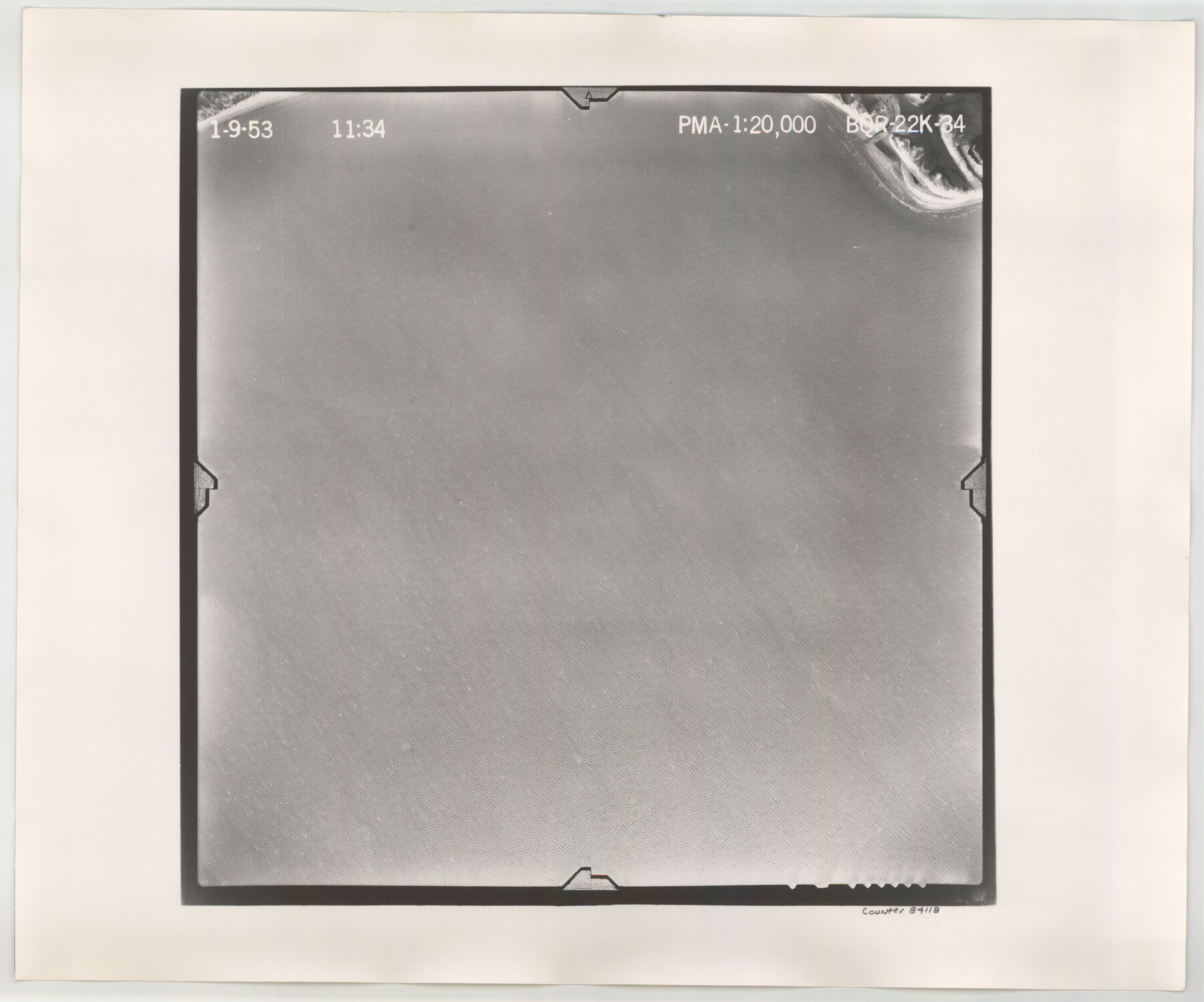
Flight Mission No. BQR-22K, Frame 34, Brazoria County
BQR-22K-34
-
Map/Doc
84118
-
Collection
General Map Collection
-
Object Dates
1953/1/9 (Creation Date)
-
People and Organizations
U. S. Department of Agriculture (Publisher)
-
Counties
Brazoria
-
Subjects
Aerial Photograph
-
Height x Width
18.7 x 22.5 inches
47.5 x 57.2 cm
-
Comments
Flown by Aero Exploration Company of Tulsa, Oklahoma.
Part of: General Map Collection
Culberson County Sketch File 18

Print $8.00
- Digital $50.00
Culberson County Sketch File 18
Size 14.3 x 8.8 inches
Map/Doc 20185

Presidio County Sketch File G

Print $6.00
- Digital $50.00
Presidio County Sketch File G
1913
Size 9.7 x 17.0 inches
Map/Doc 34429
Moore County Boundary File 1

Print $42.00
- Digital $50.00
Moore County Boundary File 1
Size 8.9 x 3.8 inches
Map/Doc 57452
Callahan County Sketch File 10

Print $40.00
- Digital $50.00
Callahan County Sketch File 10
Size 21.7 x 24.7 inches
Map/Doc 11039
Travis County Rolled Sketch 16

Print $20.00
- Digital $50.00
Travis County Rolled Sketch 16
1940
Size 21.0 x 18.4 inches
Map/Doc 8018
Bailey County Sketch File 16

Print $8.00
- Digital $50.00
Bailey County Sketch File 16
1941
Size 14.2 x 8.7 inches
Map/Doc 13977
Upton County Rolled Sketch 12

Print $20.00
- Digital $50.00
Upton County Rolled Sketch 12
Size 30.3 x 38.3 inches
Map/Doc 10036
Jefferson County Sketch File 19

Print $20.00
- Digital $50.00
Jefferson County Sketch File 19
1872
Size 15.0 x 20.1 inches
Map/Doc 11870
Map of Kerr County

Print $40.00
- Digital $50.00
Map of Kerr County
1895
Size 39.7 x 48.9 inches
Map/Doc 5002
Flight Mission No. DAG-16K, Frame 68, Matagorda County

Print $20.00
- Digital $50.00
Flight Mission No. DAG-16K, Frame 68, Matagorda County
1952
Size 18.5 x 22.3 inches
Map/Doc 86314
Flight Mission No. DAG-24K, Frame 149, Matagorda County

Print $20.00
- Digital $50.00
Flight Mission No. DAG-24K, Frame 149, Matagorda County
1953
Size 18.4 x 16.2 inches
Map/Doc 86563
You may also like
Moore County Sketch File 9

Print $4.00
- Digital $50.00
Moore County Sketch File 9
1910
Size 9.0 x 6.9 inches
Map/Doc 31947
Lampasas County Working Sketch 20

Print $20.00
- Digital $50.00
Lampasas County Working Sketch 20
1981
Size 26.0 x 31.9 inches
Map/Doc 70297
[Surveys in the Bexar District along the San Antonio River showing the position of the missions]
![125, [Surveys in the Bexar District along the San Antonio River showing the position of the missions], General Map Collection](https://historictexasmaps.com/wmedia_w700/maps/125.tif.jpg)
Print $3.00
- Digital $50.00
[Surveys in the Bexar District along the San Antonio River showing the position of the missions]
1841
Size 11.2 x 16.0 inches
Map/Doc 125
Right of Way and Track Map, the Missouri, Kansas and Texas Ry. of Texas operated by the Missouri, Kansas and Texas Ry. of Texas, San Antonio Division

Print $40.00
- Digital $50.00
Right of Way and Track Map, the Missouri, Kansas and Texas Ry. of Texas operated by the Missouri, Kansas and Texas Ry. of Texas, San Antonio Division
1918
Size 25.6 x 57.8 inches
Map/Doc 64582

Flight Mission No. DQO-8K, Frame 74, Galveston County

Print $20.00
- Digital $50.00
Flight Mission No. DQO-8K, Frame 74, Galveston County
1952
Size 18.7 x 22.4 inches
Map/Doc 85178
Angelina County Rolled Sketch 3

Print $20.00
- Digital $50.00
Angelina County Rolled Sketch 3
Size 25.9 x 42.5 inches
Map/Doc 77186
Real County Rolled Sketch 13

Print $20.00
- Digital $50.00
Real County Rolled Sketch 13
Size 23.0 x 34.0 inches
Map/Doc 9838
[Sections in the vicinity of John P. Rohus and Mary Fury surveys]
![92987, [Sections in the vicinity of John P. Rohus and Mary Fury surveys], Twichell Survey Records](https://historictexasmaps.com/wmedia_w700/maps/92987-1.tif.jpg)
Print $20.00
- Digital $50.00
[Sections in the vicinity of John P. Rohus and Mary Fury surveys]
Size 12.2 x 13.1 inches
Map/Doc 92987
Flight Mission No. CUG-2P, Frame 61, Kleberg County

Print $20.00
- Digital $50.00
Flight Mission No. CUG-2P, Frame 61, Kleberg County
1956
Size 18.5 x 22.2 inches
Map/Doc 86198
Flight Mission No. BQY-15M, Frame 20, Harris County

Print $20.00
- Digital $50.00
Flight Mission No. BQY-15M, Frame 20, Harris County
1953
Size 18.6 x 22.3 inches
Map/Doc 85318
Right of Way & Track Map, St. Louis, Brownsville & Mexico Ry. operated by St. Louis, Brownsville & Mexico Ry. Co.

Print $40.00
- Digital $50.00
Right of Way & Track Map, St. Louis, Brownsville & Mexico Ry. operated by St. Louis, Brownsville & Mexico Ry. Co.
1919
Size 25.7 x 57.6 inches
Map/Doc 64619