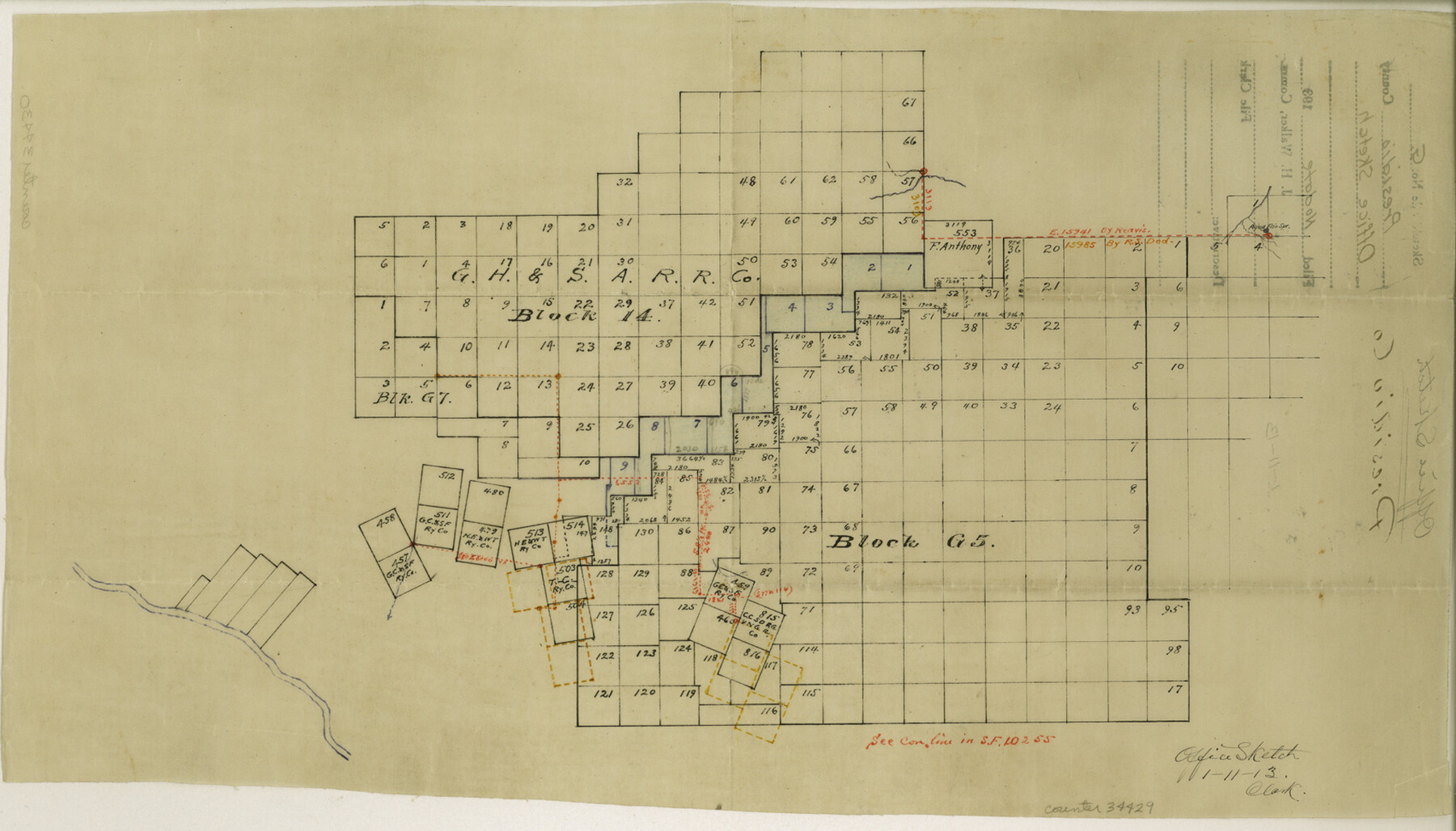
Presidio County Sketch File G
[Sketch of Blocks 14 and G5]
-
Map/Doc
34429
-
Collection
General Map Collection
-
Object Dates
1/11/1913 (Creation Date)
1/11/1913 (File Date)
-
People and Organizations
Clark (Surveyor/Engineer)
-
Counties
Presidio Brewster
-
Subjects
Surveying Sketch File
-
Height x Width
9.7 x 17.0 inches
24.6 x 43.2 cm
-
Medium
paper, manuscript
Part of: General Map Collection
Padre Island National Seashore

Print $4.00
- Digital $50.00
Padre Island National Seashore
Size 16.0 x 22.3 inches
Map/Doc 60532
Flight Mission No. CRC-4R, Frame 76, Chambers County

Print $20.00
- Digital $50.00
Flight Mission No. CRC-4R, Frame 76, Chambers County
1956
Size 18.8 x 22.4 inches
Map/Doc 84880
Johnson County Boundary File 51b

Print $80.00
- Digital $50.00
Johnson County Boundary File 51b
Size 53.9 x 9.4 inches
Map/Doc 55619
Coryell County

Print $20.00
- Digital $50.00
Coryell County
1936
Size 44.5 x 41.2 inches
Map/Doc 73117
Flight Mission No. DAG-24K, Frame 151, Matagorda County

Print $20.00
- Digital $50.00
Flight Mission No. DAG-24K, Frame 151, Matagorda County
1953
Size 18.5 x 22.1 inches
Map/Doc 86565
San Patricio County Rolled Sketch 30A

Print $20.00
- Digital $50.00
San Patricio County Rolled Sketch 30A
1941
Size 23.3 x 30.4 inches
Map/Doc 9897
Moore County Working Sketch 17

Print $20.00
- Digital $50.00
Moore County Working Sketch 17
1982
Size 37.0 x 36.2 inches
Map/Doc 71199
Houston County Sketch File 28

Print $20.00
- Digital $50.00
Houston County Sketch File 28
1877
Size 21.8 x 21.3 inches
Map/Doc 11789
Kaufman County Boundary File 2

Print $22.00
- Digital $50.00
Kaufman County Boundary File 2
Size 14.1 x 8.6 inches
Map/Doc 55911
Flight Mission No. DCL-6C, Frame 124, Kenedy County

Print $20.00
- Digital $50.00
Flight Mission No. DCL-6C, Frame 124, Kenedy County
1943
Size 18.6 x 22.4 inches
Map/Doc 85954
Township No. 4 South Range No. 19 West of the Indian Meridian

Print $20.00
- Digital $50.00
Township No. 4 South Range No. 19 West of the Indian Meridian
1875
Size 19.1 x 24.5 inches
Map/Doc 75183
Live Oak County Working Sketch 33

Print $20.00
- Digital $50.00
Live Oak County Working Sketch 33
1992
Size 25.9 x 35.1 inches
Map/Doc 70618
You may also like
Padre Island National Seashore

Print $4.00
- Digital $50.00
Padre Island National Seashore
Size 16.1 x 22.1 inches
Map/Doc 60531
Working Sketch compiled from original field notes showing surveys in Reagan and Irion Counties located by Frank Lerch in 1883 and 1884, also adjacent blocks and surveys (previously located by other surveyors) called for in his Field Notes

Print $20.00
- Digital $50.00
Working Sketch compiled from original field notes showing surveys in Reagan and Irion Counties located by Frank Lerch in 1883 and 1884, also adjacent blocks and surveys (previously located by other surveyors) called for in his Field Notes
1883
Size 35.8 x 20.0 inches
Map/Doc 91749
Hudspeth County Working Sketch 5

Print $20.00
- Digital $50.00
Hudspeth County Working Sketch 5
1921
Size 27.8 x 38.8 inches
Map/Doc 66286
State of Texas

Print $40.00
- Digital $50.00
State of Texas
1948
Size 44.6 x 56.8 inches
Map/Doc 78634
Flight Mission No. BRE-2P, Frame 9, Nueces County

Print $20.00
- Digital $50.00
Flight Mission No. BRE-2P, Frame 9, Nueces County
1956
Size 18.5 x 22.3 inches
Map/Doc 86718
Callahan County Sketch File 2

Print $8.00
- Digital $50.00
Callahan County Sketch File 2
1858
Size 11.8 x 8.7 inches
Map/Doc 35853
Hardin County Rolled Sketch 20

Print $20.00
- Digital $50.00
Hardin County Rolled Sketch 20
1960
Size 27.7 x 35.9 inches
Map/Doc 6089
Brazos River, Howth Sheet

Print $6.00
- Digital $50.00
Brazos River, Howth Sheet
1936
Size 30.5 x 30.9 inches
Map/Doc 65276
Blanco County Working Sketch 23

Print $40.00
- Digital $50.00
Blanco County Working Sketch 23
1962
Size 52.4 x 38.5 inches
Map/Doc 67383
Hill County Boundary File 45a

Print $54.00
- Digital $50.00
Hill County Boundary File 45a
Size 14.4 x 9.0 inches
Map/Doc 54763
Flight Mission No. CGI-1N, Frame 142, Cameron County

Print $20.00
- Digital $50.00
Flight Mission No. CGI-1N, Frame 142, Cameron County
1955
Size 18.5 x 22.2 inches
Map/Doc 84498
[Surveys East of river copied from U.S. map of Township No. 6 South, Range No. 9 West of the Indian Meridian, Oklahoma]
![75185, [Surveys East of river copied from U.S. map of Township No. 6 South, Range No. 9 West of the Indian Meridian, Oklahoma], General Map Collection](https://historictexasmaps.com/wmedia_w700/maps/75185.tif.jpg)
Print $2.00
- Digital $50.00
[Surveys East of river copied from U.S. map of Township No. 6 South, Range No. 9 West of the Indian Meridian, Oklahoma]
Size 13.3 x 9.0 inches
Map/Doc 75185