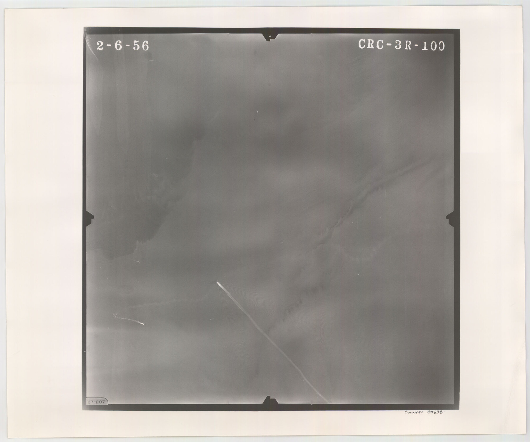
Flight Mission No. CRC-3R, Frame 100, Chambers County
CRC-3R-100
-
Map/Doc
84838
-
Collection
General Map Collection
-
Object Dates
1956/2/6 (Creation Date)
-
People and Organizations
U. S. Department of Agriculture (Publisher)
-
Counties
Chambers
-
Subjects
Aerial Photograph
-
Height x Width
18.6 x 22.3 inches
47.2 x 56.6 cm
-
Comments
Flown by Jack Ammann Photogrammetric Engineers, Inc. of San Antonio, Texas.
Part of: General Map Collection
Flight Mission No. DCL-7C, Frame 49, Kenedy County

Print $20.00
- Digital $50.00
Flight Mission No. DCL-7C, Frame 49, Kenedy County
1943
Size 16.5 x 16.4 inches
Map/Doc 86037
Lamar County Sketch File 7

Print $4.00
- Digital $50.00
Lamar County Sketch File 7
1880
Size 9.0 x 6.9 inches
Map/Doc 29288

Nueces County Rolled Sketch 91

Print $79.00
Nueces County Rolled Sketch 91
1983
Size 24.6 x 37.2 inches
Map/Doc 7017
Colorado County Sketch File 17

Print $22.00
- Digital $50.00
Colorado County Sketch File 17
Size 8.7 x 7.7 inches
Map/Doc 18949
Flight Mission No. DQO-3K, Frame 80, Galveston County

Print $20.00
- Digital $50.00
Flight Mission No. DQO-3K, Frame 80, Galveston County
1952
Size 18.7 x 22.5 inches
Map/Doc 85085
Sterling County Working Sketch Graphic Index

Print $20.00
- Digital $50.00
Sterling County Working Sketch Graphic Index
1971
Size 45.5 x 36.3 inches
Map/Doc 76703
Burnet County Sketch File 12

Print $4.00
- Digital $50.00
Burnet County Sketch File 12
1848
Size 12.6 x 7.5 inches
Map/Doc 16694
Starr County Sketch File 11

Print $28.00
- Digital $50.00
Starr County Sketch File 11
1885
Size 12.8 x 8.1 inches
Map/Doc 36865
Fort Bend County Sketch File 13

Print $30.00
- Digital $50.00
Fort Bend County Sketch File 13
1888
Size 14.3 x 8.8 inches
Map/Doc 22908
Flight Mission No. DQN-2K, Frame 91, Calhoun County

Print $20.00
- Digital $50.00
Flight Mission No. DQN-2K, Frame 91, Calhoun County
1953
Size 18.8 x 22.4 inches
Map/Doc 84281
Right of Way and Track Map of The Missouri, Kansas & Texas Railway of Texas

Print $40.00
- Digital $50.00
Right of Way and Track Map of The Missouri, Kansas & Texas Railway of Texas
1918
Size 24.8 x 52.6 inches
Map/Doc 64529
You may also like
Martin County Rolled Sketch 2

Print $20.00
- Digital $50.00
Martin County Rolled Sketch 2
1906
Size 36.5 x 31.3 inches
Map/Doc 9492
Real County Boundary File 1

Print $8.00
- Digital $50.00
Real County Boundary File 1
Size 9.3 x 5.9 inches
Map/Doc 58191
Kaufman County Boundary File 3

Print $14.00
- Digital $50.00
Kaufman County Boundary File 3
Size 12.7 x 8.2 inches
Map/Doc 55922
Motley County Sketch File 6B (S)

Print $20.00
- Digital $50.00
Motley County Sketch File 6B (S)
Size 24.5 x 20.7 inches
Map/Doc 42139
Crockett County Working Sketch 48

Print $20.00
- Digital $50.00
Crockett County Working Sketch 48
1938
Size 23.8 x 13.2 inches
Map/Doc 68381
Ochiltree County Boundary File 1b

Print $16.00
- Digital $50.00
Ochiltree County Boundary File 1b
Size 8.6 x 8.4 inches
Map/Doc 57666
Pecos County Sketch File 90

Print $20.00
- Digital $50.00
Pecos County Sketch File 90
1935
Size 17.7 x 22.4 inches
Map/Doc 12183
Brewster County Working Sketch 9

Print $20.00
- Digital $50.00
Brewster County Working Sketch 9
1910
Size 14.3 x 14.4 inches
Map/Doc 67542
Flight Mission No. DQO-6K, Frame 31, Galveston County

Print $20.00
- Digital $50.00
Flight Mission No. DQO-6K, Frame 31, Galveston County
1952
Size 18.5 x 22.4 inches
Map/Doc 85097
Brewster County Working Sketch 65

Print $20.00
- Digital $50.00
Brewster County Working Sketch 65
1958
Size 40.2 x 34.8 inches
Map/Doc 67666
Hutchinson County, 1922

Print $20.00
- Digital $50.00
Hutchinson County, 1922
1922
Size 36.4 x 43.7 inches
Map/Doc 89700
Slaughter Addition, Morton, Texas

Print $3.00
- Digital $50.00
Slaughter Addition, Morton, Texas
1951
Size 16.6 x 11.8 inches
Map/Doc 92541