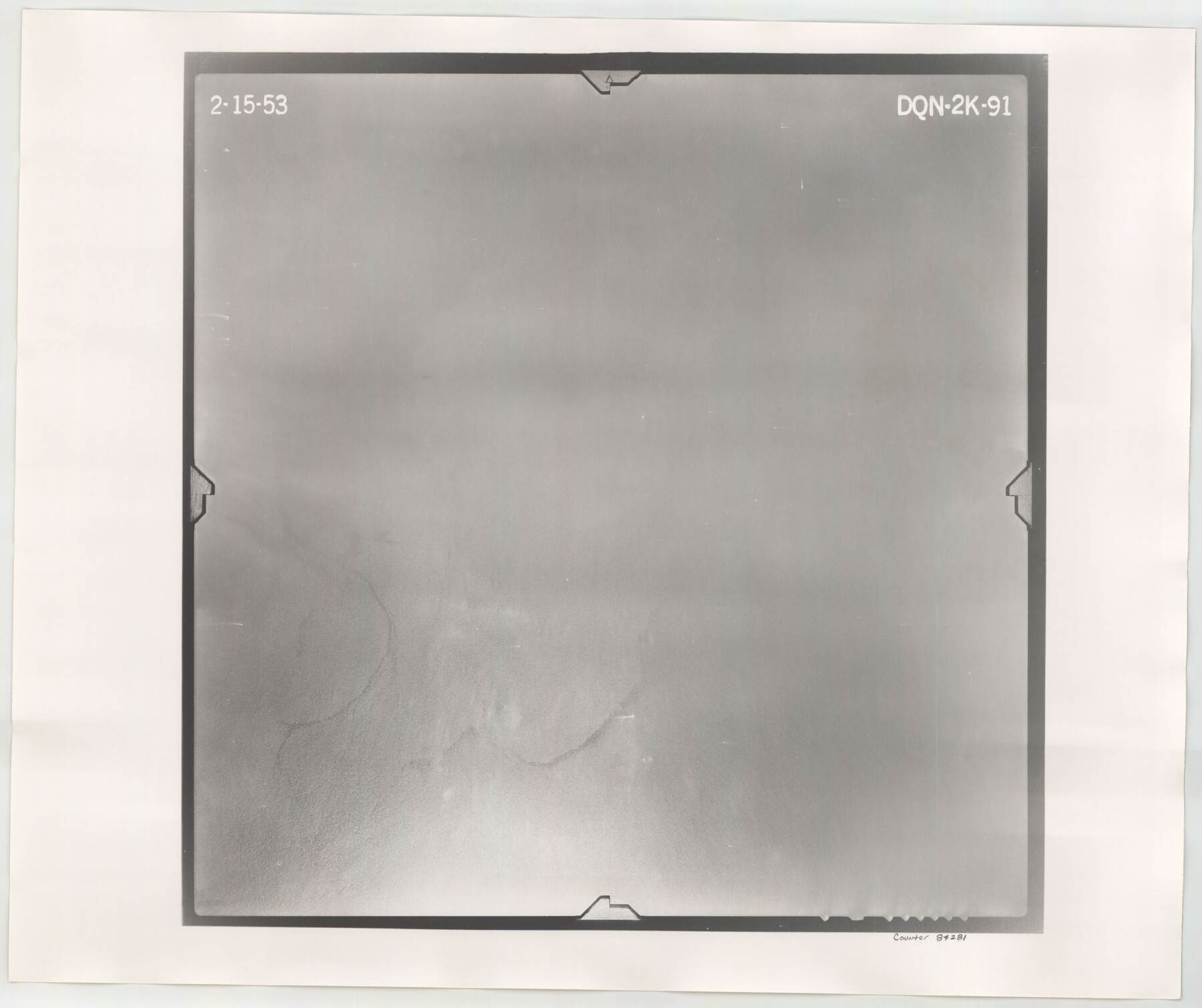
Flight Mission No. DQN-2K, Frame 91, Calhoun County
DQN-2K-91
-
Map/Doc
84281
-
Collection
General Map Collection
-
Object Dates
1953/2/15 (Creation Date)
-
People and Organizations
U. S. Department of Agriculture (Publisher)
-
Counties
Calhoun
-
Subjects
Aerial Photograph
-
Height x Width
18.8 x 22.4 inches
47.8 x 56.9 cm
-
Comments
Flown by Aero Exploration Company of Tulsa, Oklahoma.
Part of: General Map Collection
Harris County Rolled Sketch 75

Print $20.00
- Digital $50.00
Harris County Rolled Sketch 75
1951
Size 33.8 x 34.9 inches
Map/Doc 76168
Kinney County Working Sketch 4

Print $20.00
- Digital $50.00
Kinney County Working Sketch 4
1907
Size 21.1 x 21.6 inches
Map/Doc 70186
Brewster County Rolled Sketch 135

Print $20.00
- Digital $50.00
Brewster County Rolled Sketch 135
Size 43.1 x 41.5 inches
Map/Doc 8525
Sherman County Rolled Sketch 14

Print $20.00
- Digital $50.00
Sherman County Rolled Sketch 14
1975
Size 17.4 x 17.7 inches
Map/Doc 7795
San Antonio Business District

Print $20.00
- Digital $50.00
San Antonio Business District
1935
Size 17.4 x 14.8 inches
Map/Doc 95955
Flight Mission No. CRC-4R, Frame 92, Chambers County

Print $20.00
- Digital $50.00
Flight Mission No. CRC-4R, Frame 92, Chambers County
1956
Size 18.5 x 22.4 inches
Map/Doc 84889
Hemphill County Working Sketch 31

Print $20.00
- Digital $50.00
Hemphill County Working Sketch 31
1974
Size 38.8 x 41.1 inches
Map/Doc 66126
Cherokee County Sketch File 32

Print $20.00
- Digital $50.00
Cherokee County Sketch File 32
Size 45.2 x 30.0 inches
Map/Doc 10334
Map of Yoakum County

Print $20.00
- Digital $50.00
Map of Yoakum County
1902
Size 47.2 x 35.3 inches
Map/Doc 16934
Flight Mission No. DCL-6C, Frame 158, Kenedy County

Print $20.00
- Digital $50.00
Flight Mission No. DCL-6C, Frame 158, Kenedy County
1943
Size 15.3 x 15.2 inches
Map/Doc 85984
Val Verde County Working Sketch 30

Print $20.00
- Digital $50.00
Val Verde County Working Sketch 30
1938
Size 37.9 x 28.5 inches
Map/Doc 72165
DeWitt County

Print $40.00
- Digital $50.00
DeWitt County
1987
Size 41.4 x 49.9 inches
Map/Doc 77263
You may also like
[Sketch for Mineral Application 19560 - 19588 - San Bernard River]
![65660, [Sketch for Mineral Application 19560 - 19588 - San Bernard River], General Map Collection](https://historictexasmaps.com/wmedia_w700/maps/65660.tif.jpg)
Print $40.00
- Digital $50.00
[Sketch for Mineral Application 19560 - 19588 - San Bernard River]
Size 98.0 x 33.0 inches
Map/Doc 65660
Hardin County Rolled Sketch 8

Print $20.00
- Digital $50.00
Hardin County Rolled Sketch 8
1947
Size 23.7 x 25.8 inches
Map/Doc 6081
Upton County Sketch File 11

Print $20.00
- Digital $50.00
Upton County Sketch File 11
1919
Size 22.5 x 27.6 inches
Map/Doc 12511
Sherman County

Print $20.00
- Digital $50.00
Sherman County
1878
Size 19.7 x 17.6 inches
Map/Doc 4037
Goliad County Sketch File 41

Print $20.00
- Digital $50.00
Goliad County Sketch File 41
1958
Size 25.2 x 35.3 inches
Map/Doc 11573
Starr County Sketch File 1

Print $4.00
- Digital $50.00
Starr County Sketch File 1
Size 10.3 x 5.1 inches
Map/Doc 36854
Coke County Working Sketch 11

Print $20.00
- Digital $50.00
Coke County Working Sketch 11
1945
Size 40.9 x 40.2 inches
Map/Doc 68048
Liberty County Working Sketch 52

Print $20.00
- Digital $50.00
Liberty County Working Sketch 52
1956
Size 32.5 x 24.6 inches
Map/Doc 70512
Edwards County Sketch File 54

Print $20.00
- Digital $50.00
Edwards County Sketch File 54
Size 17.9 x 18.4 inches
Map/Doc 11447
Geological Map of the United States, Canada & c. compiled from the state surveys of the U.S. and other sources

Print $20.00
- Digital $50.00
Geological Map of the United States, Canada & c. compiled from the state surveys of the U.S. and other sources
1845
Size 16.6 x 21.6 inches
Map/Doc 95173
Galveston Bay Entrance - Galveston and Texas City Harbors

Print $40.00
- Digital $50.00
Galveston Bay Entrance - Galveston and Texas City Harbors
Size 38.3 x 54.8 inches
Map/Doc 78271
Presidio County Working Sketch 100

Print $20.00
- Digital $50.00
Presidio County Working Sketch 100
1979
Size 45.7 x 34.5 inches
Map/Doc 71777