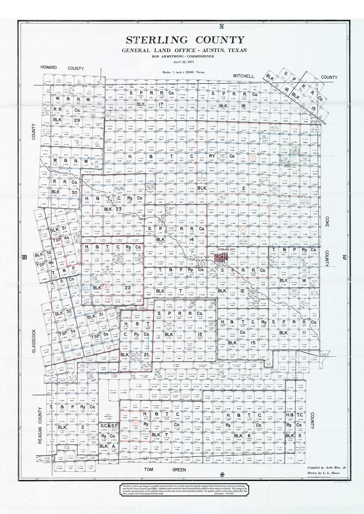
Sterling County Working Sketch Graphic Index
-
Map/Doc
76703
-
Collection
General Map Collection
-
Object Dates
4/22/1971 (Creation Date)
-
People and Organizations
Arlie Bice, Jr. (Compiler)
Crockett L. Slover (Draftsman)
-
Counties
Sterling
-
Subjects
County Surveying Working Sketch
-
Height x Width
45.5 x 36.3 inches
115.6 x 92.2 cm
-
Scale
1" = 2000 varas
Part of: General Map Collection

United States of America compiled from the latest & best Authorities

Print $20.00
- Digital $50.00
United States of America compiled from the latest & best Authorities
1818
Size 17.3 x 20.9 inches
Map/Doc 97135
Roberts County Working Sketch 3

Print $20.00
- Digital $50.00
Roberts County Working Sketch 3
1949
Size 18.0 x 14.3 inches
Map/Doc 63529
Map of the Northern Part of Houston District

Print $20.00
- Digital $50.00
Map of the Northern Part of Houston District
1849
Size 26.4 x 26.7 inches
Map/Doc 3223
Terry County Sketch File 5

Print $40.00
- Digital $50.00
Terry County Sketch File 5
1916
Size 15.6 x 58.6 inches
Map/Doc 10391
Terrell County Working Sketch 74

Print $20.00
- Digital $50.00
Terrell County Working Sketch 74
1981
Size 37.5 x 24.6 inches
Map/Doc 69595
Flight Mission No. DQN-2K, Frame 43, Calhoun County

Print $20.00
- Digital $50.00
Flight Mission No. DQN-2K, Frame 43, Calhoun County
1953
Size 18.6 x 22.6 inches
Map/Doc 84248
Angelina County Sketch File 16

Print $11.00
- Digital $50.00
Angelina County Sketch File 16
Size 7.9 x 3.8 inches
Map/Doc 13004
Map of the British Isles to illustrate Olney's school geography (Inset: Shetland Isles)

Print $20.00
- Digital $50.00
Map of the British Isles to illustrate Olney's school geography (Inset: Shetland Isles)
1844
Size 12.1 x 9.5 inches
Map/Doc 93547
Traveller's Map of the State of Texas

Print $20.00
- Digital $50.00
Traveller's Map of the State of Texas
1867
Size 40.7 x 38.7 inches
Map/Doc 2130
Brewster County Rolled Sketch 76

Print $20.00
- Digital $50.00
Brewster County Rolled Sketch 76
Size 17.3 x 19.0 inches
Map/Doc 5241
Scurry County Rolled Sketch 13

Print $20.00
- Digital $50.00
Scurry County Rolled Sketch 13
2002
Size 19.4 x 19.2 inches
Map/Doc 76417
You may also like
Wise County Sketch File 8

Print $4.00
- Digital $50.00
Wise County Sketch File 8
1855
Size 12.2 x 7.8 inches
Map/Doc 40537
Nueces County Rolled Sketch 35

Print $20.00
- Digital $50.00
Nueces County Rolled Sketch 35
1910
Size 33.6 x 24.3 inches
Map/Doc 6877
North Half, Harris County, Texas - Ownership Map with Well Data

North Half, Harris County, Texas - Ownership Map with Well Data
1948
Size 121.9 x 44.3 inches
Map/Doc 93206
Brewster County Rolled Sketch 42

Print $20.00
- Digital $50.00
Brewster County Rolled Sketch 42
1912
Size 18.5 x 43.3 inches
Map/Doc 5220
Comanche County Working Sketch 11

Print $20.00
- Digital $50.00
Comanche County Working Sketch 11
1955
Size 31.7 x 43.3 inches
Map/Doc 68145
Parker County Sketch File 3

Print $4.00
- Digital $50.00
Parker County Sketch File 3
1856
Size 12.2 x 7.9 inches
Map/Doc 33521
Richardson's New Map of the State of Texas, corrected for the Texas Almanac to 1872

Print $20.00
- Digital $50.00
Richardson's New Map of the State of Texas, corrected for the Texas Almanac to 1872
1872
Size 18.4 x 26.4 inches
Map/Doc 93647
Eastland County Working Sketch 51

Print $20.00
- Digital $50.00
Eastland County Working Sketch 51
1982
Size 37.7 x 39.6 inches
Map/Doc 68832
General Highway Map, Brazos County, Texas

Print $20.00
General Highway Map, Brazos County, Texas
1940
Size 25.2 x 18.5 inches
Map/Doc 79026
Coke County Working Sketch 3

Print $20.00
- Digital $50.00
Coke County Working Sketch 3
1890
Size 22.3 x 29.2 inches
Map/Doc 68040
Duval County Working Sketch 29

Print $20.00
- Digital $50.00
Duval County Working Sketch 29
1948
Size 28.9 x 31.5 inches
Map/Doc 68753
Nueces County Rolled Sketch 116

Print $40.00
- Digital $50.00
Nueces County Rolled Sketch 116
Size 29.6 x 58.3 inches
Map/Doc 7141