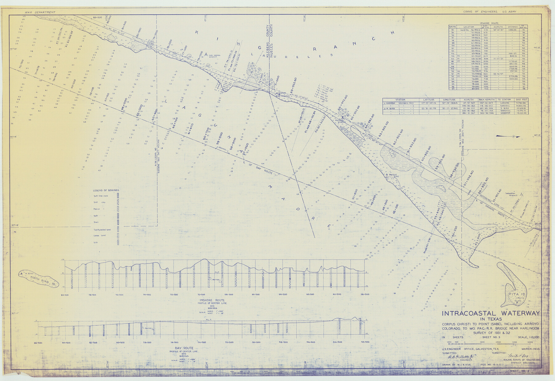
Intracoastal Waterway in Texas - Corpus Christi to Point Isabel including Arroyo Colorado to Mo. Pac. R.R. Bridge Near Harlingen
-
Map/Doc
61846
-
Collection
General Map Collection
-
Object Dates
1933 (Creation Date)
-
Subjects
Intracoastal Waterways
-
Height x Width
28.2 x 41.0 inches
71.6 x 104.1 cm
Part of: General Map Collection
Harris County Rolled Sketch 80B

Print $20.00
- Digital $50.00
Harris County Rolled Sketch 80B
Size 32.0 x 44.2 inches
Map/Doc 9137
Webb County Rolled Sketch 42

Print $20.00
- Digital $50.00
Webb County Rolled Sketch 42
1941
Size 25.2 x 37.1 inches
Map/Doc 8197
Garza County Rolled Sketch 6E

Print $20.00
- Digital $50.00
Garza County Rolled Sketch 6E
1913
Size 19.2 x 15.6 inches
Map/Doc 5999
Red River County Sketch File 17

Print $26.00
- Digital $50.00
Red River County Sketch File 17
1868
Size 12.8 x 8.2 inches
Map/Doc 35141
Aransas County

Print $20.00
- Digital $50.00
Aransas County
1871
Size 17.2 x 18.3 inches
Map/Doc 3235
Sutton County Rolled Sketch 71

Print $20.00
- Digital $50.00
Sutton County Rolled Sketch 71
Size 23.1 x 35.3 inches
Map/Doc 83760
Sutton County Sketch File 18

Print $94.00
- Digital $50.00
Sutton County Sketch File 18
1893
Size 12.9 x 8.3 inches
Map/Doc 37410
PSL Field Notes for Blocks C1, C2, and C3 in Pecos and Reeves Counties and Blocks C4 through C10 in Reeves County

PSL Field Notes for Blocks C1, C2, and C3 in Pecos and Reeves Counties and Blocks C4 through C10 in Reeves County
Map/Doc 81671
Bexar County Working Sketch 10

Print $20.00
- Digital $50.00
Bexar County Working Sketch 10
1959
Size 22.6 x 34.5 inches
Map/Doc 67326

Anderson County Sketch File 27

Print $40.00
- Digital $50.00
Anderson County Sketch File 27
1970
Size 19.5 x 23.7 inches
Map/Doc 10806
Comanche County Sketch File 21

Print $20.00
- Digital $50.00
Comanche County Sketch File 21
Size 18.3 x 20.2 inches
Map/Doc 11143
You may also like
El Paso County Working Sketch 39

Print $20.00
- Digital $50.00
El Paso County Working Sketch 39
1984
Size 45.7 x 37.1 inches
Map/Doc 69061
Hood County Working Sketch 8

Print $20.00
- Digital $50.00
Hood County Working Sketch 8
1971
Size 30.1 x 37.8 inches
Map/Doc 66202
Map of T. C. Spearman's Lands in Gaines, Terry & Yoakum Counties, Texas

Print $20.00
- Digital $50.00
Map of T. C. Spearman's Lands in Gaines, Terry & Yoakum Counties, Texas
1917
Size 46.0 x 37.6 inches
Map/Doc 89842
Montgomery County Rolled Sketch 32

Print $40.00
- Digital $50.00
Montgomery County Rolled Sketch 32
1949
Size 59.9 x 40.4 inches
Map/Doc 9540
Map of Henderson County

Print $20.00
- Digital $50.00
Map of Henderson County
1877
Size 17.7 x 29.2 inches
Map/Doc 3666
Hutchinson County Working Sketch 31

Print $20.00
- Digital $50.00
Hutchinson County Working Sketch 31
1978
Size 27.0 x 22.2 inches
Map/Doc 66391
Uvalde County Rolled Sketch 14

Print $20.00
- Digital $50.00
Uvalde County Rolled Sketch 14
1977
Size 22.0 x 25.9 inches
Map/Doc 8098
Lipscomb County Rolled Sketch 2

Print $20.00
- Digital $50.00
Lipscomb County Rolled Sketch 2
1886
Size 24.1 x 30.2 inches
Map/Doc 6628

Flight Mission No. CLL-1N, Frame 102, Willacy County

Print $20.00
- Digital $50.00
Flight Mission No. CLL-1N, Frame 102, Willacy County
1954
Size 18.3 x 22.0 inches
Map/Doc 87036
McLennan County Sketch File 27

Print $4.00
- Digital $50.00
McLennan County Sketch File 27
Size 8.2 x 8.3 inches
Map/Doc 31300
G. C. & S. F. Ry., San Saba Branch Right of Way Map, Melvin to Eden

Print $40.00
- Digital $50.00
G. C. & S. F. Ry., San Saba Branch Right of Way Map, Melvin to Eden
1916
Size 37.6 x 63.1 inches
Map/Doc 61417