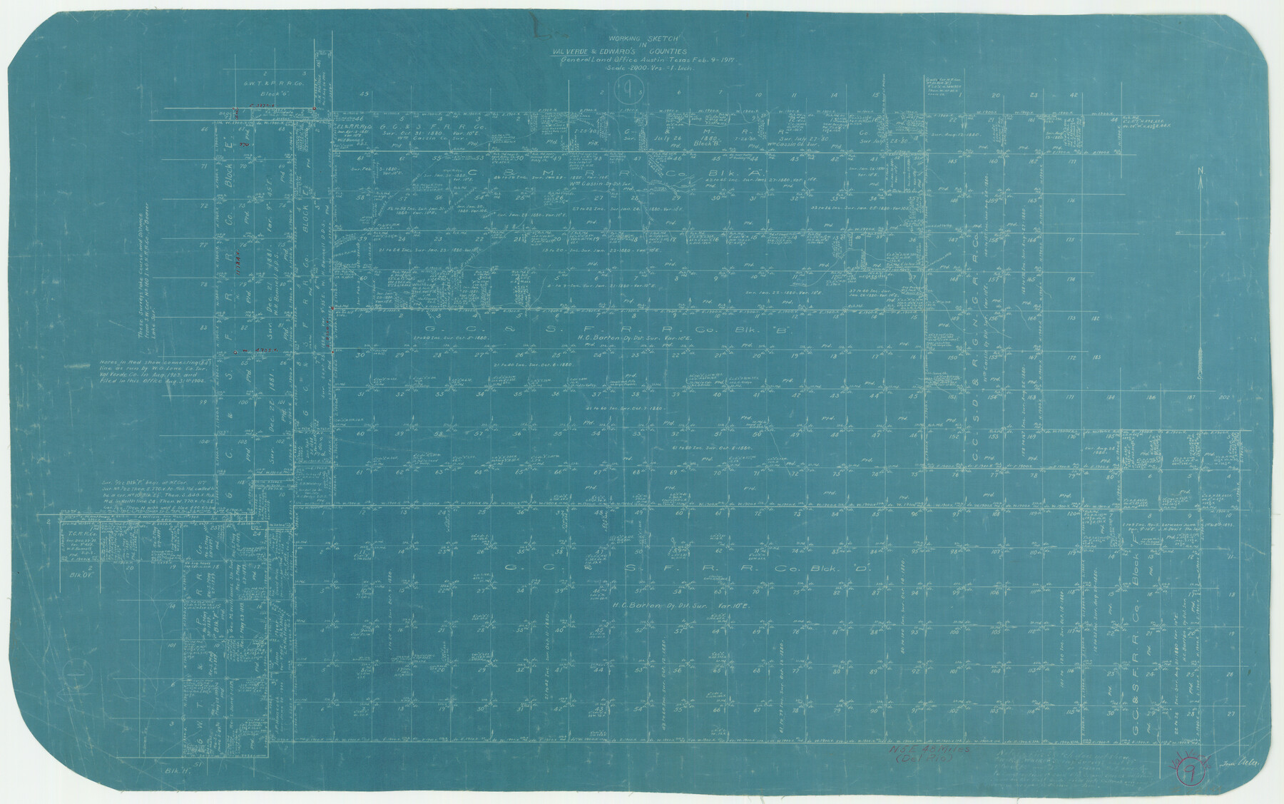
Val Verde County Working Sketch 9
-
Map/Doc
72144
-
Collection
General Map Collection
-
Object Dates
2/9/1917 (Creation Date)
-
People and Organizations
Tom Atlee (Draftsman)
-
Counties
Val Verde Edwards
-
Subjects
Surveying Working Sketch
-
Height x Width
19.4 x 30.9 inches
49.3 x 78.5 cm
-
Scale
1" = 2000 varas
Part of: General Map Collection
Flight Mission No. DCL-7C, Frame 56, Kenedy County

Print $20.00
- Digital $50.00
Flight Mission No. DCL-7C, Frame 56, Kenedy County
1943
Size 15.4 x 15.2 inches
Map/Doc 86044
Fort Bend County State Real Property Sketch 1

Print $40.00
- Digital $50.00
Fort Bend County State Real Property Sketch 1
1986
Size 34.7 x 43.2 inches
Map/Doc 61675
Map of DeWitt County

Print $20.00
- Digital $50.00
Map of DeWitt County
1853
Size 21.5 x 25.5 inches
Map/Doc 3479
Map of the country between the frontiers of Arkansas and New Mexico embracing the section explored in 1849, 50, 51, & 52

Print $40.00
- Digital $50.00
Map of the country between the frontiers of Arkansas and New Mexico embracing the section explored in 1849, 50, 51, & 52
Size 29.9 x 62.3 inches
Map/Doc 95837
Mills County Boundary File 7

Print $2.00
- Digital $50.00
Mills County Boundary File 7
Size 14.2 x 8.6 inches
Map/Doc 57312
Palo Pinto County Sketch File 4

Print $4.00
- Digital $50.00
Palo Pinto County Sketch File 4
1870
Size 8.2 x 12.9 inches
Map/Doc 33394
Lampasas County Working Sketch 15

Print $20.00
- Digital $50.00
Lampasas County Working Sketch 15
1975
Size 28.5 x 23.8 inches
Map/Doc 70292
Wheeler County Sketch File 9

Print $12.00
- Digital $50.00
Wheeler County Sketch File 9
1989
Size 11.8 x 9.1 inches
Map/Doc 40008
Carson County Sketch File 7

Print $20.00
- Digital $50.00
Carson County Sketch File 7
Size 26.7 x 15.0 inches
Map/Doc 11056
McCulloch County Rolled Sketch 5

Print $20.00
- Digital $50.00
McCulloch County Rolled Sketch 5
Size 25.7 x 20.9 inches
Map/Doc 6716
Bosque County Sketch File 15

Print $14.00
- Digital $50.00
Bosque County Sketch File 15
1863
Size 12.3 x 7.7 inches
Map/Doc 14774

You may also like
Flight Mission No. CRC-2R, Frame 196, Chambers County

Print $20.00
- Digital $50.00
Flight Mission No. CRC-2R, Frame 196, Chambers County
1956
Size 18.7 x 22.4 inches
Map/Doc 84774
Edwards County Working Sketch 137

Print $20.00
- Digital $50.00
Edwards County Working Sketch 137
1997
Size 33.2 x 34.3 inches
Map/Doc 69013
Webb County Sketch File A1

Print $20.00
- Digital $50.00
Webb County Sketch File A1
1897
Size 20.3 x 20.3 inches
Map/Doc 12604
La Salle County Working Sketch 40

Print $20.00
- Digital $50.00
La Salle County Working Sketch 40
1968
Size 23.0 x 19.2 inches
Map/Doc 70341

Polk County Sketch File 29a

Print $4.00
- Digital $50.00
Polk County Sketch File 29a
Size 12.1 x 8.2 inches
Map/Doc 34202
Flight Mission No. CGI-4N, Frame 194, Cameron County

Print $20.00
- Digital $50.00
Flight Mission No. CGI-4N, Frame 194, Cameron County
1955
Size 15.6 x 22.1 inches
Map/Doc 84697
[Central Part of County]
![89791, [Central Part of County], Twichell Survey Records](https://historictexasmaps.com/wmedia_w700/maps/89791-1.tif.jpg)
Print $40.00
- Digital $50.00
[Central Part of County]
Size 70.0 x 26.3 inches
Map/Doc 89791
Upton County Working Sketch 47

Print $20.00
- Digital $50.00
Upton County Working Sketch 47
1973
Size 24.8 x 26.7 inches
Map/Doc 69543
[Sketch for Mineral Application 12206 - Cow Bayou, O. B. Sawyer]
![65568, [Sketch for Mineral Application 12206 - Cow Bayou, O. B. Sawyer], General Map Collection](https://historictexasmaps.com/wmedia_w700/maps/65568.tif.jpg)
Print $40.00
- Digital $50.00
[Sketch for Mineral Application 12206 - Cow Bayou, O. B. Sawyer]
Size 37.4 x 140.2 inches
Map/Doc 65568
Jack County Sketch File 18a

Print $4.00
- Digital $50.00
Jack County Sketch File 18a
Size 8.0 x 12.8 inches
Map/Doc 27555
Goliad County Sketch File 18

Print $100.00
- Digital $50.00
Goliad County Sketch File 18
1854
Size 12.8 x 15.5 inches
Map/Doc 24255