[Sketch for Mineral Application 12206 - Cow Bayou, O. B. Sawyer]
K-1-32a; K-1-32b
-
Map/Doc
65568
-
Collection
General Map Collection
-
Height x Width
37.4 x 140.2 inches
95.0 x 356.1 cm
Part of: General Map Collection
Val Verde County Working Sketch 45
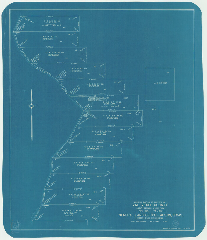

Print $20.00
- Digital $50.00
Val Verde County Working Sketch 45
1945
Size 29.2 x 25.2 inches
Map/Doc 72180
[Surveys along the Pedernales River and Cypress Creek]
![121, [Surveys along the Pedernales River and Cypress Creek], General Map Collection](https://historictexasmaps.com/wmedia_w700/maps/121.tif.jpg)
![121, [Surveys along the Pedernales River and Cypress Creek], General Map Collection](https://historictexasmaps.com/wmedia_w700/maps/121.tif.jpg)
Print $2.00
- Digital $50.00
[Surveys along the Pedernales River and Cypress Creek]
1841
Size 8.3 x 7.7 inches
Map/Doc 121
Cooke County Sketch File 41
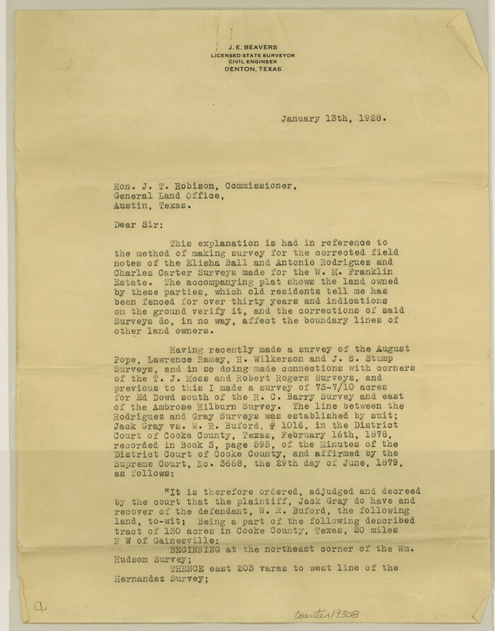

Print $36.00
- Digital $50.00
Cooke County Sketch File 41
1928
Size 11.3 x 8.9 inches
Map/Doc 19308
Moore County Working Sketch 2


Print $20.00
- Digital $50.00
Moore County Working Sketch 2
1934
Size 18.3 x 41.3 inches
Map/Doc 71184
Edwards County Sketch File 11
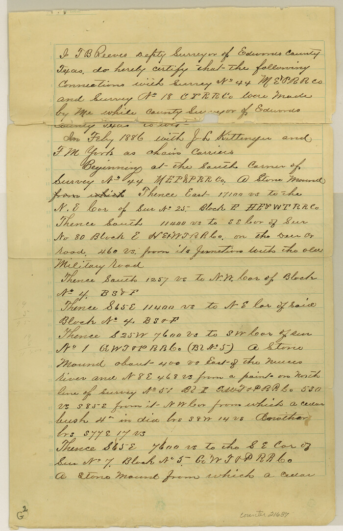

Print $26.00
- Digital $50.00
Edwards County Sketch File 11
1887
Size 13.7 x 8.8 inches
Map/Doc 21687
Flight Mission No. CRC-4R, Frame 159, Chambers County


Print $20.00
- Digital $50.00
Flight Mission No. CRC-4R, Frame 159, Chambers County
1956
Size 18.6 x 22.2 inches
Map/Doc 84918
Jefferson County Boundary File 1
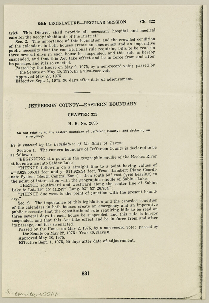

Print $10.00
- Digital $50.00
Jefferson County Boundary File 1
Size 9.8 x 6.7 inches
Map/Doc 55514
Wood County Boundary File 4
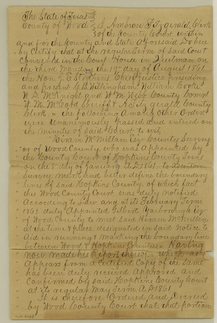

Print $6.00
- Digital $50.00
Wood County Boundary File 4
Size 12.1 x 8.1 inches
Map/Doc 60167
Sabine River, Watershed of the Sabine and Neches Rivers


Print $20.00
- Digital $50.00
Sabine River, Watershed of the Sabine and Neches Rivers
Size 39.5 x 36.0 inches
Map/Doc 65132
Supreme Court of the United States, October Term, 1924, No. 13, Original - The State of Oklahoma, Complainant vs. The State of Texas, Defendant, The United States, Intervener
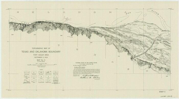

Print $20.00
- Digital $50.00
Supreme Court of the United States, October Term, 1924, No. 13, Original - The State of Oklahoma, Complainant vs. The State of Texas, Defendant, The United States, Intervener
1924
Size 18.6 x 33.7 inches
Map/Doc 75118
Flight Mission No. CRC-3R, Frame 197, Chambers County
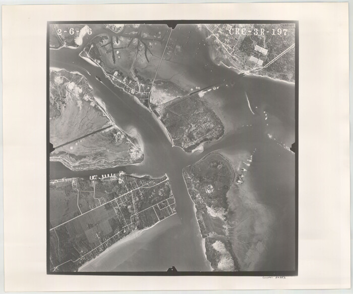

Print $20.00
- Digital $50.00
Flight Mission No. CRC-3R, Frame 197, Chambers County
1956
Size 18.5 x 22.3 inches
Map/Doc 84852
Brewster County Rolled Sketch 73


Print $20.00
- Digital $50.00
Brewster County Rolled Sketch 73
1938
Size 19.7 x 23.3 inches
Map/Doc 5239
You may also like
[Surveys in Austin's Colony along Hickory Creek, Hog Creek, and the Yegua River]
![195, [Surveys in Austin's Colony along Hickory Creek, Hog Creek, and the Yegua River], General Map Collection](https://historictexasmaps.com/wmedia_w700/maps/195.tif.jpg)
![195, [Surveys in Austin's Colony along Hickory Creek, Hog Creek, and the Yegua River], General Map Collection](https://historictexasmaps.com/wmedia_w700/maps/195.tif.jpg)
Print $20.00
- Digital $50.00
[Surveys in Austin's Colony along Hickory Creek, Hog Creek, and the Yegua River]
1831
Size 19.4 x 23.9 inches
Map/Doc 195
Coleman County Working Sketch 22
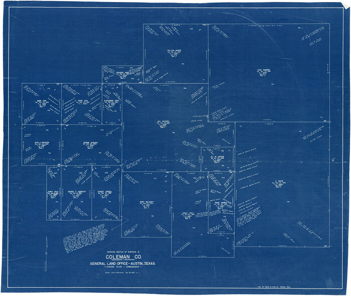

Print $20.00
- Digital $50.00
Coleman County Working Sketch 22
1953
Size 34.6 x 41.0 inches
Map/Doc 68088
[Surveys above the San Antonio Road]
![69758, [Surveys above the San Antonio Road], General Map Collection](https://historictexasmaps.com/wmedia_w700/maps/69758.tif.jpg)
![69758, [Surveys above the San Antonio Road], General Map Collection](https://historictexasmaps.com/wmedia_w700/maps/69758.tif.jpg)
Print $2.00
- Digital $50.00
[Surveys above the San Antonio Road]
1846
Size 8.5 x 7.6 inches
Map/Doc 69758
Howard County Rolled Sketch 10A
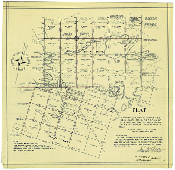

Print $20.00
- Digital $50.00
Howard County Rolled Sketch 10A
1940
Size 19.9 x 20.4 inches
Map/Doc 6241
Hardin County Rolled Sketch 22


Print $20.00
- Digital $50.00
Hardin County Rolled Sketch 22
1977
Size 32.0 x 44.4 inches
Map/Doc 9110
Wilbarger Co.


Print $40.00
- Digital $50.00
Wilbarger Co.
1949
Size 48.2 x 38.8 inches
Map/Doc 95674
Atascosa County Working Sketch 3
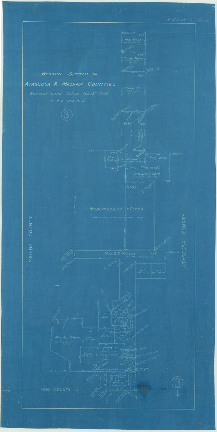

Print $20.00
- Digital $50.00
Atascosa County Working Sketch 3
1912
Size 26.3 x 13.2 inches
Map/Doc 67198
Yoakum County Sketch File 2


Print $6.00
- Digital $50.00
Yoakum County Sketch File 2
1892
Size 14.5 x 8.5 inches
Map/Doc 40702
Upshur County Sketch File 20
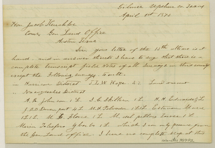

Print $4.00
- Digital $50.00
Upshur County Sketch File 20
1873
Size 5.7 x 8.3 inches
Map/Doc 38792
Polk County Sketch File 15


Print $8.00
- Digital $50.00
Polk County Sketch File 15
Size 12.7 x 8.4 inches
Map/Doc 34157
Flight Mission No. BRA-16M, Frame 180, Jefferson County


Print $20.00
- Digital $50.00
Flight Mission No. BRA-16M, Frame 180, Jefferson County
1953
Size 18.5 x 22.4 inches
Map/Doc 85778
Leon County Sketch File 11
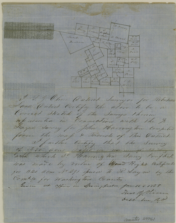

Print $4.00
- Digital $50.00
Leon County Sketch File 11
1858
Size 10.1 x 8.0 inches
Map/Doc 29761
![65568, [Sketch for Mineral Application 12206 - Cow Bayou, O. B. Sawyer], General Map Collection](https://historictexasmaps.com/wmedia_w1800h1800/maps/65568.tif.jpg)