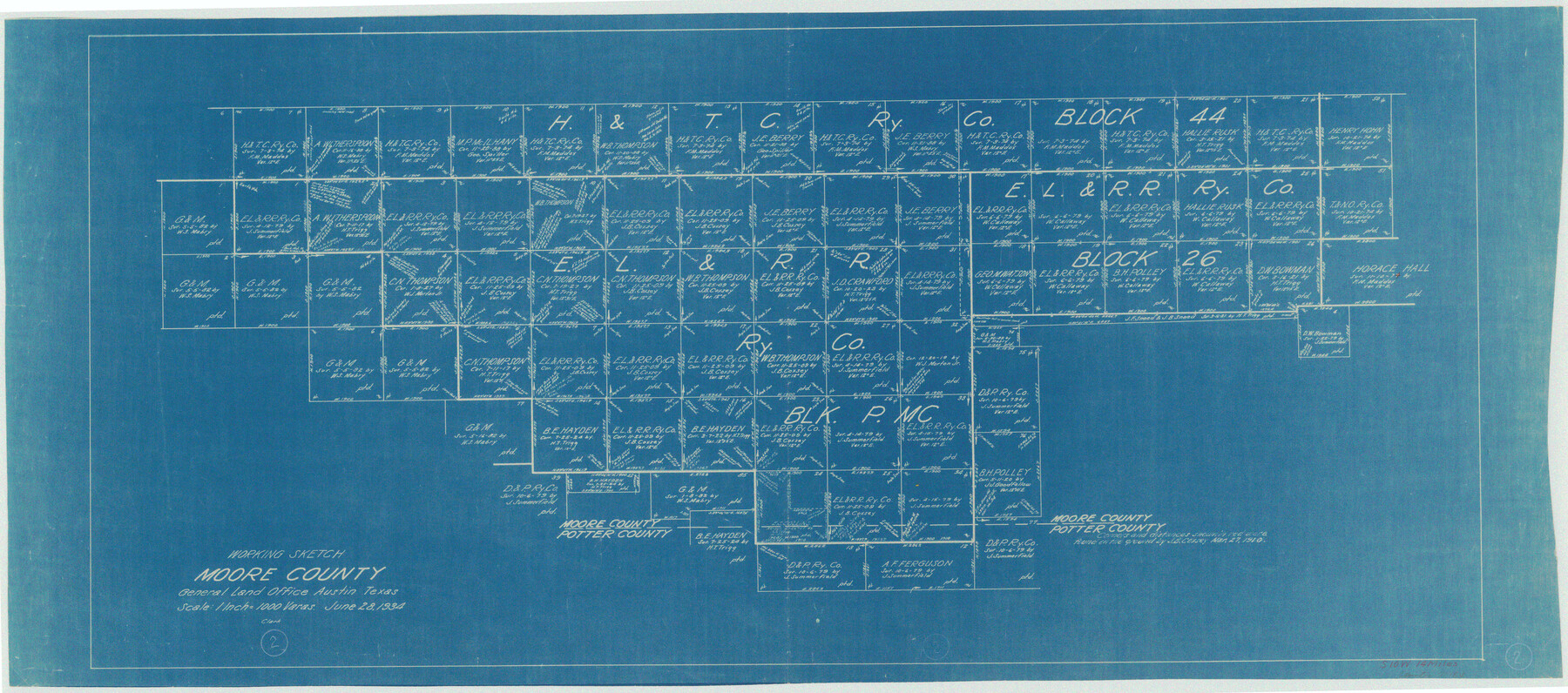
Moore County Working Sketch 2
-
Map/Doc
71184
-
Collection
General Map Collection
-
Object Dates
6/28/1934 (Creation Date)
-
Counties
Moore Potter
-
Subjects
Surveying Working Sketch
-
Height x Width
18.3 x 41.3 inches
46.5 x 104.9 cm
-
Scale
1" = 1000 varas
Part of: General Map Collection
Old Miscellaneous File 15

Print $12.00
- Digital $50.00
Old Miscellaneous File 15
1905
Size 11.0 x 7.8 inches
Map/Doc 75451
Tyler County Sketch File 23

Print $20.00
- Digital $50.00
Tyler County Sketch File 23
Size 25.3 x 20.9 inches
Map/Doc 12500
Newton County Sketch File 15

Print $20.00
- Digital $50.00
Newton County Sketch File 15
1878
Size 29.1 x 16.8 inches
Map/Doc 42156
Nacogdoches County Working Sketch 13

Print $20.00
- Digital $50.00
Nacogdoches County Working Sketch 13
1912
Size 22.6 x 26.5 inches
Map/Doc 67086
Newton County Rolled Sketch 26

Print $397.00
- Digital $50.00
Newton County Rolled Sketch 26
1960
Size 10.9 x 15.4 inches
Map/Doc 47265
Tarrant County Sketch File 20

Print $4.00
- Digital $50.00
Tarrant County Sketch File 20
1857
Size 7.0 x 7.3 inches
Map/Doc 37723
Edwards County Sketch File 21

Print $6.00
- Digital $50.00
Edwards County Sketch File 21
1889
Size 12.9 x 8.5 inches
Map/Doc 21740
[Neches River Bed, Plat and Calculations]
![77101, [Neches River Bed, Plat and Calculations], General Map Collection](https://historictexasmaps.com/wmedia_w700/maps/77101.tif.jpg)
Print $20.00
- Digital $50.00
[Neches River Bed, Plat and Calculations]
1928
Size 23.2 x 19.8 inches
Map/Doc 77101
Travis County Working Sketch 9

Print $20.00
- Digital $50.00
Travis County Working Sketch 9
1918
Size 21.9 x 28.9 inches
Map/Doc 69393
Flight Mission No. DQN-1K, Frame 72, Calhoun County

Print $20.00
- Digital $50.00
Flight Mission No. DQN-1K, Frame 72, Calhoun County
1953
Size 18.4 x 22.3 inches
Map/Doc 84159
Calcasieu Pass to Sabine Pass

Print $20.00
- Digital $50.00
Calcasieu Pass to Sabine Pass
1976
Size 44.6 x 35.3 inches
Map/Doc 69813
DeWitt County Sketch File 1

Print $11.00
- Digital $50.00
DeWitt County Sketch File 1
1851
Size 8.4 x 8.2 inches
Map/Doc 20794
You may also like
Pecos County Sketch File 62

Print $40.00
- Digital $50.00
Pecos County Sketch File 62
1919
Size 10.5 x 24.6 inches
Map/Doc 33790
Carter-Coffey Addition, Part of Section 77, Block A

Print $20.00
- Digital $50.00
Carter-Coffey Addition, Part of Section 77, Block A
Size 30.0 x 9.8 inches
Map/Doc 92766
Gaines County Working Sketch 37

Print $20.00
- Digital $50.00
Gaines County Working Sketch 37
Size 21.5 x 16.6 inches
Map/Doc 69337
[John H. Gibson Block D Showing Patented Sections]
![92450, [John H. Gibson Block D Showing Patented Sections], Twichell Survey Records](https://historictexasmaps.com/wmedia_w700/maps/92450-1.tif.jpg)
Print $20.00
- Digital $50.00
[John H. Gibson Block D Showing Patented Sections]
Size 14.7 x 16.1 inches
Map/Doc 92450
[Center Line of the Texas and Pacific Railroad Company 16 Mile Reserve]
![3125, [Center Line of the Texas and Pacific Railroad Company 16 Mile Reserve], General Map Collection](https://historictexasmaps.com/wmedia_w700/maps/3125-1.tif.jpg)
Print $40.00
- Digital $50.00
[Center Line of the Texas and Pacific Railroad Company 16 Mile Reserve]
1876
Size 43.1 x 55.6 inches
Map/Doc 3125
Calhoun County Rolled Sketch 7

Print $20.00
- Digital $50.00
Calhoun County Rolled Sketch 7
Size 17.0 x 22.1 inches
Map/Doc 5363
Chambers County Aerial Photograph Index Sheet 6

Print $20.00
- Digital $50.00
Chambers County Aerial Photograph Index Sheet 6
1956
Size 19.4 x 15.2 inches
Map/Doc 83687
The Mexican Municipality of Colorado. Created, January 11, 1836

Print $20.00
The Mexican Municipality of Colorado. Created, January 11, 1836
2020
Size 15.7 x 21.6 inches
Map/Doc 96019
Map of Falls County

Print $20.00
- Digital $50.00
Map of Falls County
1874
Size 19.8 x 22.6 inches
Map/Doc 3530
Coast Chart No. 210 Aransas Pass and Corpus Christi Bay with the coast to latitude 27° 12' Texas

Print $20.00
- Digital $50.00
Coast Chart No. 210 Aransas Pass and Corpus Christi Bay with the coast to latitude 27° 12' Texas
1887
Size 27.5 x 18.3 inches
Map/Doc 72787
Montague County Working Sketch 23

Print $20.00
- Digital $50.00
Montague County Working Sketch 23
1953
Size 31.2 x 27.5 inches
Map/Doc 71089
[Sketch of part of county with G.H. & S.A. Blk. 3 on North, H. & T.C. Blk. 4 on West, T. & P. Blk. 1 on South, T. & S. Blks. 224 & 301 on East]
![89958, [Sketch of part of county with G.H. & S.A. Blk. 3 on North, H. & T.C. Blk. 4 on West, T. & P. Blk. 1 on South, T. & S. Blks. 224 & 301 on East], Twichell Survey Records](https://historictexasmaps.com/wmedia_w700/maps/89958-1.tif.jpg)
Print $40.00
- Digital $50.00
[Sketch of part of county with G.H. & S.A. Blk. 3 on North, H. & T.C. Blk. 4 on West, T. & P. Blk. 1 on South, T. & S. Blks. 224 & 301 on East]
Size 51.9 x 37.9 inches
Map/Doc 89958