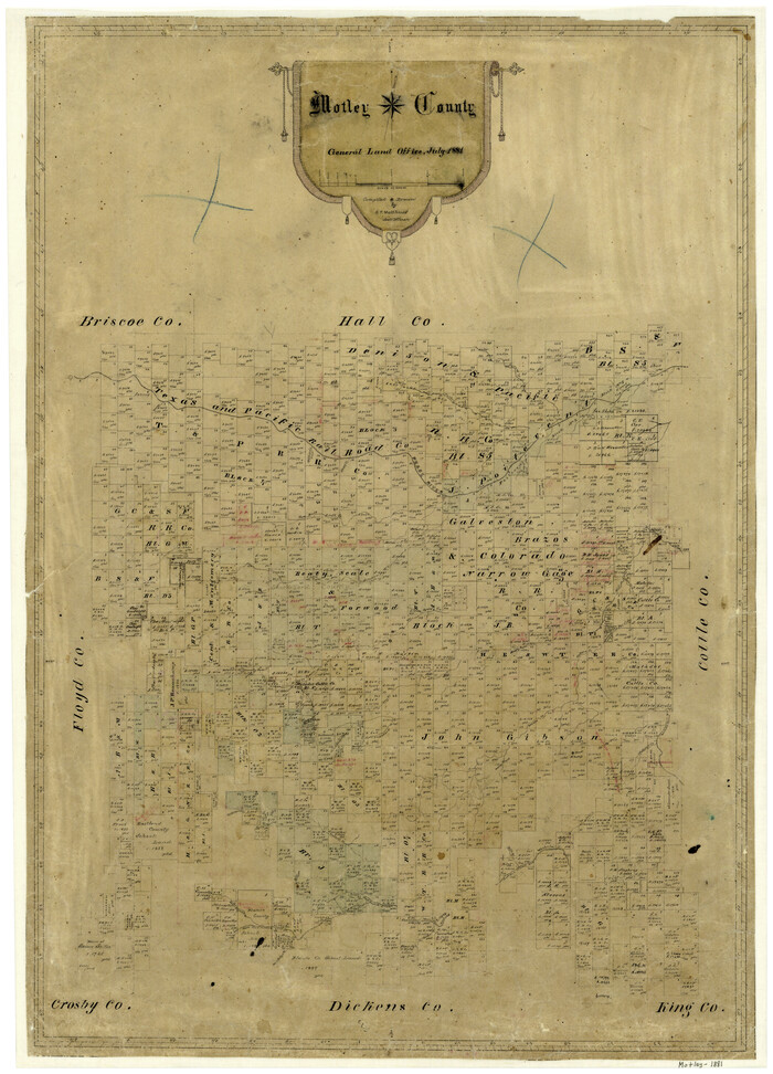
[Edwards Co.]
-
Map/Doc
66811
-
Collection
General Map Collection
-
Object Dates
1910 (Creation Date)
-
People and Organizations
Texas General Land Office (Publisher)
S.C. Clark (Compiler)
S.C. Clark (Draftsman)
-
Counties
Edwards
-
Subjects
County
-
Height x Width
38.8 x 36.2 inches
98.6 x 91.9 cm
-
Comments
Traced by O. O. Terrell.
Part of: General Map Collection
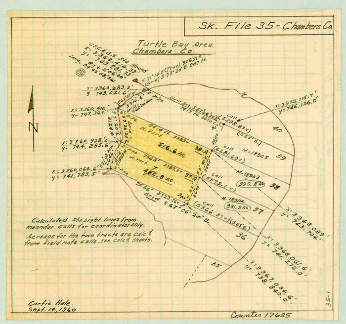
Chambers County Sketch File 35

Print $14.00
- Digital $50.00
Chambers County Sketch File 35
Size 7.1 x 7.6 inches
Map/Doc 17625
Hardeman County Sketch File A2


Print $20.00
- Digital $50.00
Hardeman County Sketch File A2
Size 28.5 x 17.3 inches
Map/Doc 11631
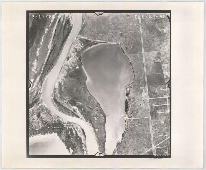
Flight Mission No. CRE-2R, Frame 85, Jackson County

Print $20.00
- Digital $50.00
Flight Mission No. CRE-2R, Frame 85, Jackson County
1956
Size 18.4 x 22.3 inches
Map/Doc 85357
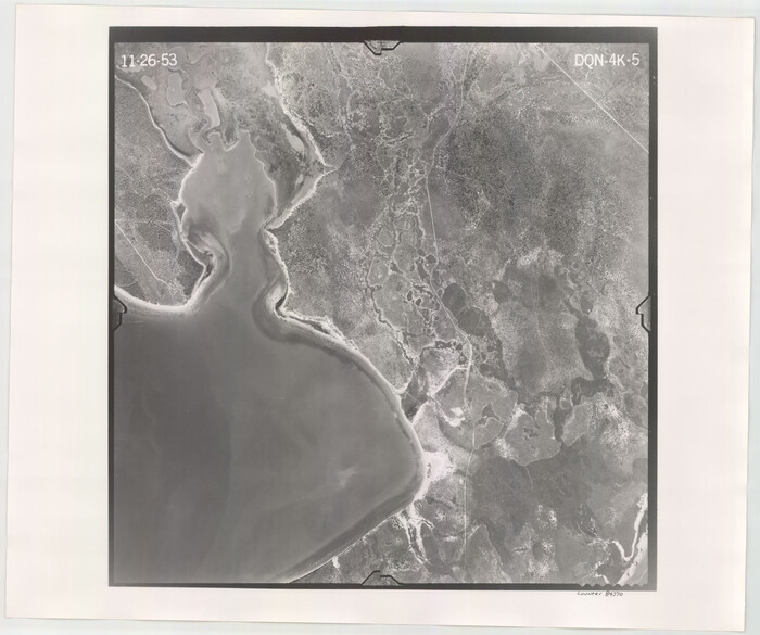
Flight Mission No. DQN-4K, Frame 5, Calhoun County

Print $20.00
- Digital $50.00
Flight Mission No. DQN-4K, Frame 5, Calhoun County
1953
Size 18.7 x 22.4 inches
Map/Doc 84370
Railroad Track Map, H&TCRRCo., Falls County, Texas
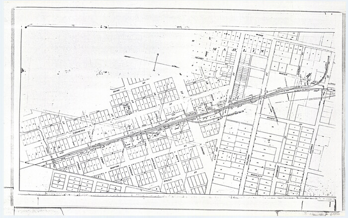

Print $4.00
- Digital $50.00
Railroad Track Map, H&TCRRCo., Falls County, Texas
1918
Size 11.6 x 18.6 inches
Map/Doc 62852
Liberty County Working Sketch 24
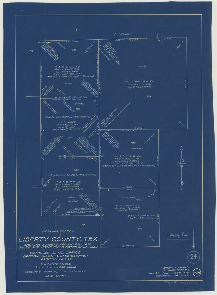

Print $20.00
- Digital $50.00
Liberty County Working Sketch 24
1941
Size 19.0 x 14.0 inches
Map/Doc 70483
Flight Mission No. CUI-1H, Frame 97, Milam County
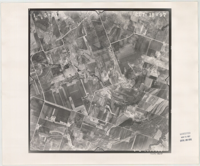

Print $20.00
- Digital $50.00
Flight Mission No. CUI-1H, Frame 97, Milam County
1951
Size 18.5 x 22.2 inches
Map/Doc 86605
Nacogdoches County Working Sketch 13
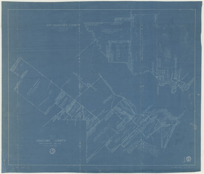

Print $20.00
- Digital $50.00
Nacogdoches County Working Sketch 13
1912
Size 22.6 x 26.5 inches
Map/Doc 67086
Jefferson County Rolled Sketch 40
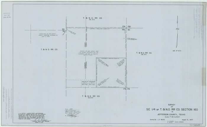

Print $20.00
- Digital $50.00
Jefferson County Rolled Sketch 40
1957
Size 22.6 x 36.7 inches
Map/Doc 6398
Hamilton County Working Sketch 18


Print $20.00
- Digital $50.00
Hamilton County Working Sketch 18
1952
Size 22.4 x 25.1 inches
Map/Doc 63356
Orange County Working Sketch 45
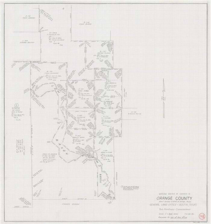

Print $20.00
- Digital $50.00
Orange County Working Sketch 45
1982
Size 25.6 x 24.2 inches
Map/Doc 71377
Henderson County Working Sketch 42
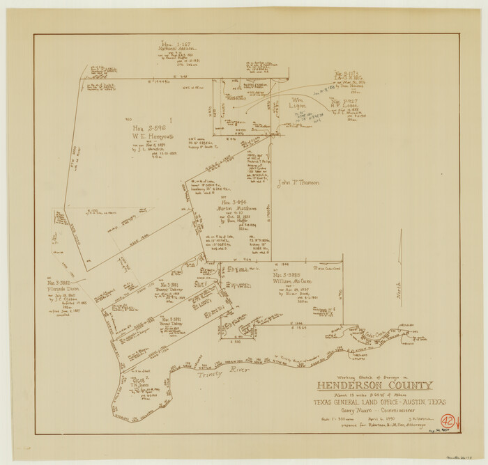

Print $20.00
- Digital $50.00
Henderson County Working Sketch 42
1990
Size 23.5 x 24.6 inches
Map/Doc 66175
You may also like
Texas Coordinate File 3
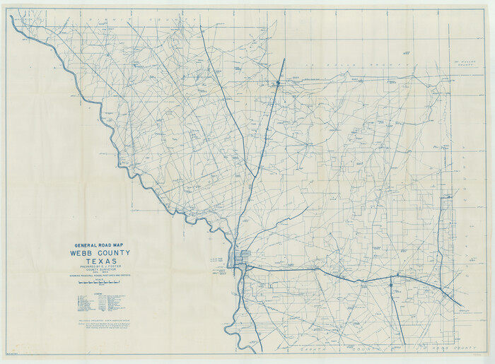

Print $40.00
- Digital $50.00
Texas Coordinate File 3
Size 36.1 x 49.1 inches
Map/Doc 75306
Brooks County Working Sketch 17
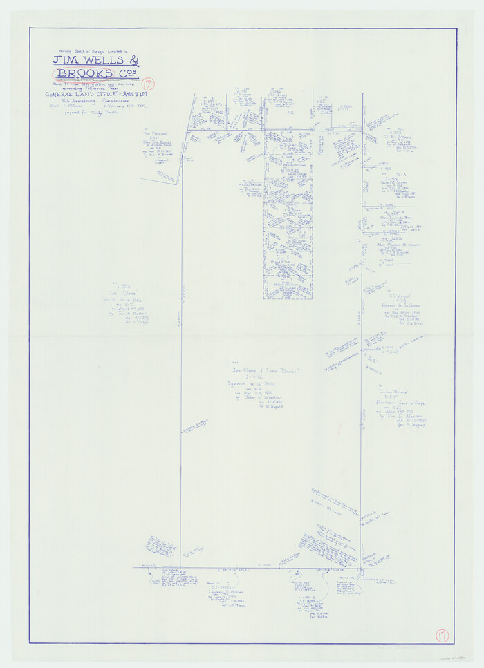

Print $20.00
- Digital $50.00
Brooks County Working Sketch 17
1980
Size 38.2 x 27.7 inches
Map/Doc 67801
Presidio County Rolled Sketch 85


Print $20.00
- Digital $50.00
Presidio County Rolled Sketch 85
1930
Size 28.3 x 27.3 inches
Map/Doc 7371
Jones County Sketch File 4
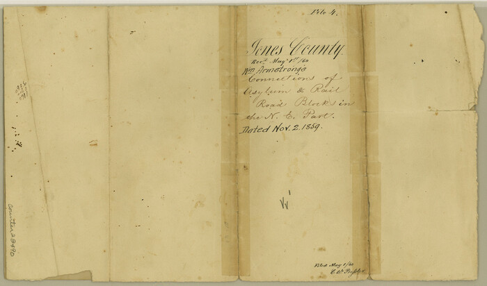

Print $22.00
- Digital $50.00
Jones County Sketch File 4
1859
Size 7.5 x 12.7 inches
Map/Doc 28490
Phelps's National Map of the United States, a Travellers Guide. Embracing the principal railroads, canals, steamboat & stage routes, throughout the Union


Print $20.00
- Digital $50.00
Phelps's National Map of the United States, a Travellers Guide. Embracing the principal railroads, canals, steamboat & stage routes, throughout the Union
1849
Size 20.9 x 26.3 inches
Map/Doc 95901
Starr County Rolled Sketch 37


Print $413.00
- Digital $50.00
Starr County Rolled Sketch 37
Size 10.1 x 15.1 inches
Map/Doc 48951
Report on the Meridional Boundary between Louisiana and Texas, retracement by the Louisiana Geodetic Survey


Print $2.00
- Digital $50.00
Report on the Meridional Boundary between Louisiana and Texas, retracement by the Louisiana Geodetic Survey
Size 11.2 x 8.8 inches
Map/Doc 61174
Medina County Working Sketch 28
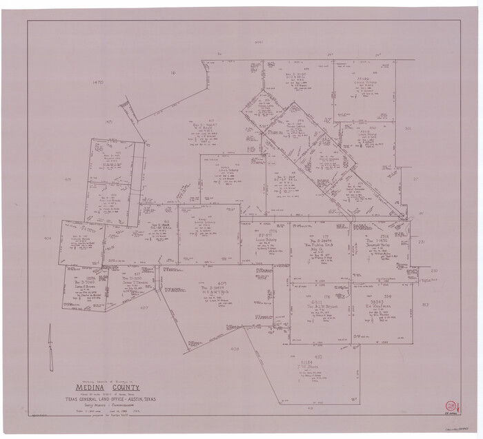

Print $20.00
- Digital $50.00
Medina County Working Sketch 28
1988
Size 32.1 x 35.3 inches
Map/Doc 70943
Brazoria County Working Sketch 20
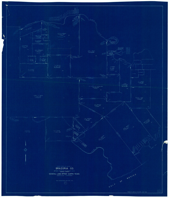

Print $40.00
- Digital $50.00
Brazoria County Working Sketch 20
1951
Size 50.3 x 42.9 inches
Map/Doc 67505
Dimmit County


Print $40.00
- Digital $50.00
Dimmit County
1976
Size 43.2 x 50.7 inches
Map/Doc 73133
Sabine County
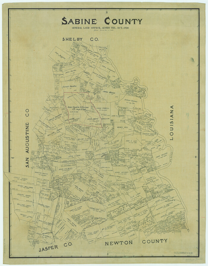

Print $20.00
- Digital $50.00
Sabine County
1920
Size 43.5 x 34.2 inches
Map/Doc 63013
![66811, [Edwards Co.], General Map Collection](https://historictexasmaps.com/wmedia_w1800h1800/maps/66811.tif.jpg)
