Texas Coordinate File 3
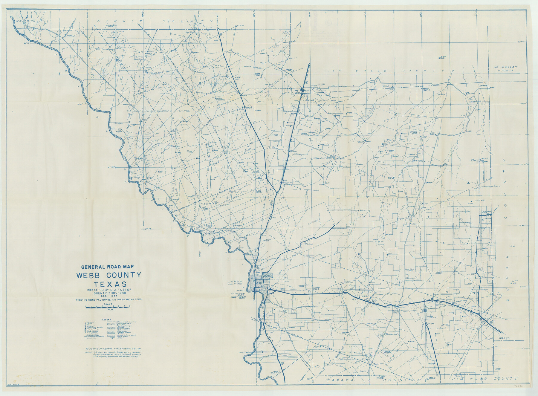
[Map of Webb County prepared by E. J. Foster showing U. S. Benchmarks and coordinates of same]
-
Map/Doc
75306
-
Collection
General Map Collection
-
Counties
Webb
-
Subjects
Coordinates
-
Height x Width
36.1 x 49.1 inches
91.7 x 124.7 cm
Part of: General Map Collection
Terrell County Sketch File 16

Print $24.00
- Digital $50.00
Terrell County Sketch File 16
1902
Size 12.1 x 8.8 inches
Map/Doc 37924
Galveston Bay Oil Area, Galveston, Harris, Chambers and Brazoria Cos.

Print $40.00
- Digital $50.00
Galveston Bay Oil Area, Galveston, Harris, Chambers and Brazoria Cos.
1927
Size 52.9 x 40.8 inches
Map/Doc 2938
Culberson County Rolled Sketch 51

Print $20.00
- Digital $50.00
Culberson County Rolled Sketch 51
1966
Size 35.2 x 27.0 inches
Map/Doc 5670


Brewster County Working Sketch 90

Print $40.00
- Digital $50.00
Brewster County Working Sketch 90
1975
Size 61.0 x 43.3 inches
Map/Doc 67690
Bee County Working Sketch 31

Print $20.00
- Digital $50.00
Bee County Working Sketch 31
1929
Size 13.5 x 25.1 inches
Map/Doc 67282
Val Verde County Boundary File 104

Print $32.00
- Digital $50.00
Val Verde County Boundary File 104
Size 5.8 x 4.6 inches
Map/Doc 59604

Gregg County Sketch File 10

Print $20.00
- Digital $50.00
Gregg County Sketch File 10
1932
Size 35.1 x 26.0 inches
Map/Doc 11588
Val Verde County Working Sketch 64

Print $20.00
- Digital $50.00
Val Verde County Working Sketch 64
1959
Size 19.0 x 43.0 inches
Map/Doc 72199
Eastland County Working Sketch 36

Print $20.00
- Digital $50.00
Eastland County Working Sketch 36
1963
Size 24.0 x 40.0 inches
Map/Doc 68817
You may also like
Flight Mission No. CGI-3N, Frame 101, Cameron County

Print $20.00
- Digital $50.00
Flight Mission No. CGI-3N, Frame 101, Cameron County
1954
Size 18.6 x 22.1 inches
Map/Doc 84581
Hall County Sketch File 31

Print $8.00
- Digital $50.00
Hall County Sketch File 31
1951
Size 14.3 x 8.9 inches
Map/Doc 24835
Bastrop County

Print $20.00
- Digital $50.00
Bastrop County
1917
Size 45.5 x 40.8 inches
Map/Doc 66711
Henderson County Working Sketch 1

Print $40.00
- Digital $50.00
Henderson County Working Sketch 1
Size 52.6 x 43.8 inches
Map/Doc 66134
Dickens County Sketch File 17

Print $6.00
- Digital $50.00
Dickens County Sketch File 17
1909
Size 12.2 x 11.8 inches
Map/Doc 20977
Mills County Working Sketch 16

Print $20.00
- Digital $50.00
Mills County Working Sketch 16
1963
Size 20.2 x 18.3 inches
Map/Doc 71046
Brazoria County Rolled Sketch 47

Print $20.00
- Digital $50.00
Brazoria County Rolled Sketch 47
1951
Size 17.4 x 22.6 inches
Map/Doc 5180
Robertson County Sketch File 12

Print $18.00
Robertson County Sketch File 12
1987
Size 11.4 x 8.8 inches
Map/Doc 35404
Hall County Sketch File 2

Print $12.00
- Digital $50.00
Hall County Sketch File 2
1880
Size 17.1 x 8.4 inches
Map/Doc 42261
Brazoria County Sketch File 14

Print $8.00
- Digital $50.00
Brazoria County Sketch File 14
1892
Size 13.9 x 8.7 inches
Map/Doc 14973
Crockett County Sketch File 87

Print $12.00
- Digital $50.00
Crockett County Sketch File 87
Size 12.3 x 9.0 inches
Map/Doc 19910
Flight Mission No. BRA-16M, Frame 178, Jefferson County

Print $20.00
- Digital $50.00
Flight Mission No. BRA-16M, Frame 178, Jefferson County
1953
Size 18.6 x 22.4 inches
Map/Doc 85776