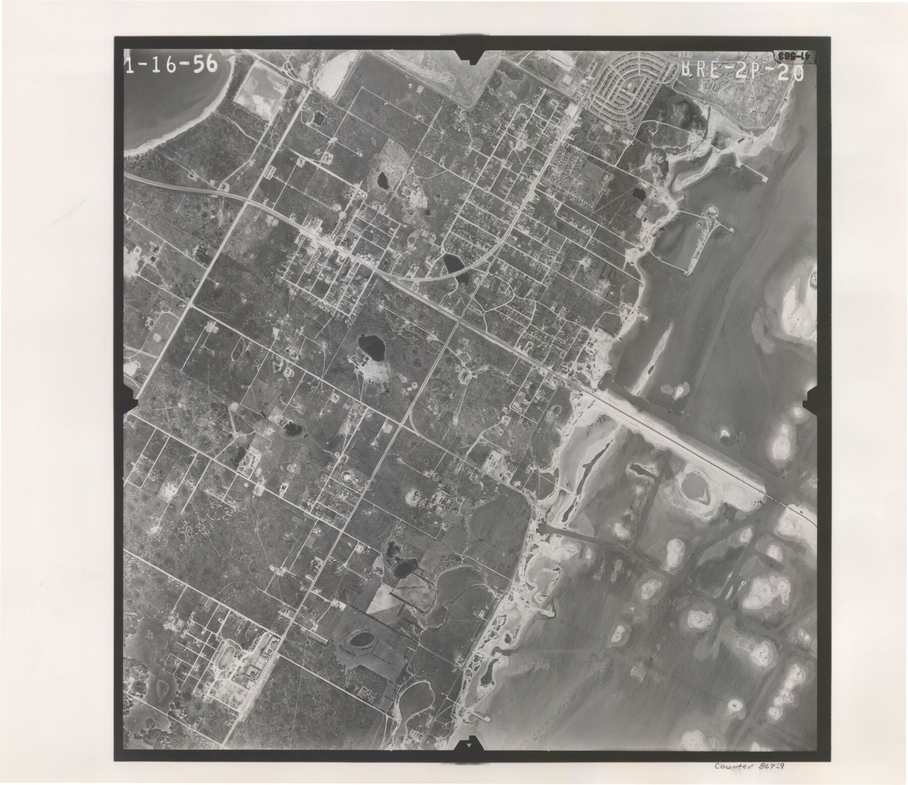
Flight Mission No. BRE-2P, Frame 20, Nueces County
BRE-2P-20
-
Map/Doc
86729
-
Collection
General Map Collection
-
Object Dates
1956/1/16 (Creation Date)
-
People and Organizations
U. S. Department of Agriculture (Publisher)
-
Counties
Nueces
-
Subjects
Aerial Photograph
-
Height x Width
17.1 x 19.8 inches
43.4 x 50.3 cm
-
Comments
Flown by V. L. Beavers and Associates of San Antonio, Texas.
Part of: General Map Collection
Hutchinson County Rolled Sketch 15

Print $47.00
- Digital $50.00
Hutchinson County Rolled Sketch 15
1911
Size 28.9 x 27.0 inches
Map/Doc 10201
Collingsworth County Sketch File 7

Print $10.00
- Digital $50.00
Collingsworth County Sketch File 7
1915
Size 11.4 x 9.0 inches
Map/Doc 18884
Bosque County

Print $20.00
- Digital $50.00
Bosque County
1945
Size 42.6 x 33.0 inches
Map/Doc 77215
Cameron County Rolled Sketch 11A

Print $20.00
- Digital $50.00
Cameron County Rolled Sketch 11A
1934
Size 30.0 x 37.0 inches
Map/Doc 11048
Collingsworth County Rolled Sketch 2

Print $20.00
- Digital $50.00
Collingsworth County Rolled Sketch 2
1888
Size 30.2 x 24.8 inches
Map/Doc 5531
San Patricio County Rolled Sketch 30A

Print $20.00
- Digital $50.00
San Patricio County Rolled Sketch 30A
1941
Size 23.3 x 30.4 inches
Map/Doc 9897
Gaines County Rolled Sketch 11

Print $20.00
- Digital $50.00
Gaines County Rolled Sketch 11
1939
Size 22.4 x 32.9 inches
Map/Doc 5931
Webb County Working Sketch 71

Print $40.00
- Digital $50.00
Webb County Working Sketch 71
1973
Size 46.1 x 95.8 inches
Map/Doc 72438
Ile de la Réunion, Colonie Française (Océan indien)

Print $20.00
- Digital $50.00
Ile de la Réunion, Colonie Française (Océan indien)
Size 14.5 x 20.5 inches
Map/Doc 94451
Freestone County State Real Property Sketch 1

Print $20.00
- Digital $50.00
Freestone County State Real Property Sketch 1
1997
Size 24.3 x 35.2 inches
Map/Doc 80128
Stonewall County Boundary File 2

Print $12.00
- Digital $50.00
Stonewall County Boundary File 2
Size 14.2 x 8.8 inches
Map/Doc 58955
Outer Continental Shelf Leasing Maps (Louisiana Offshore Operations)

Print $20.00
- Digital $50.00
Outer Continental Shelf Leasing Maps (Louisiana Offshore Operations)
1955
Size 20.2 x 15.1 inches
Map/Doc 75858
You may also like
Schleicher County Rolled Sketch 12

Print $20.00
- Digital $50.00
Schleicher County Rolled Sketch 12
1952
Size 28.8 x 29.0 inches
Map/Doc 7755
Orange County Sketch File 26

Print $20.00
- Digital $50.00
Orange County Sketch File 26
Size 38.5 x 29.3 inches
Map/Doc 10564
Travis County Rolled Sketch 5

Print $20.00
- Digital $50.00
Travis County Rolled Sketch 5
1924
Size 24.1 x 27.9 inches
Map/Doc 8011
Webb County Sketch File 23

Print $20.00
- Digital $50.00
Webb County Sketch File 23
1923
Size 25.4 x 16.3 inches
Map/Doc 12638
Trinity River, Levee Improvement Districts Widths of Floodways/Chambers Creek

Print $4.00
- Digital $50.00
Trinity River, Levee Improvement Districts Widths of Floodways/Chambers Creek
1921
Size 18.6 x 28.3 inches
Map/Doc 65247
Castro County Sketch File 4g

Print $4.00
- Digital $50.00
Castro County Sketch File 4g
Size 12.0 x 8.9 inches
Map/Doc 17477
Flight Mission No. DCL-5C, Frame 2, Kenedy County

Print $20.00
- Digital $50.00
Flight Mission No. DCL-5C, Frame 2, Kenedy County
1943
Size 18.5 x 22.5 inches
Map/Doc 85827
Flight Mission No. DCL-7C, Frame 40, Kenedy County

Print $20.00
- Digital $50.00
Flight Mission No. DCL-7C, Frame 40, Kenedy County
1943
Size 15.4 x 15.2 inches
Map/Doc 86028
Concho County Sketch File 33

Print $20.00
- Digital $50.00
Concho County Sketch File 33
1926
Size 13.4 x 18.1 inches
Map/Doc 11158
Pecos County Rolled Sketch 177

Print $20.00
- Digital $50.00
Pecos County Rolled Sketch 177
1972
Size 27.4 x 38.0 inches
Map/Doc 7297
Map of Padre Island Showing Location of Zoning Districts

Print $20.00
- Digital $50.00
Map of Padre Island Showing Location of Zoning Districts
1971
Size 26.4 x 18.8 inches
Map/Doc 4813
Henderson County Rolled Sketch 12

Print $20.00
- Digital $50.00
Henderson County Rolled Sketch 12
1980
Size 22.8 x 19.1 inches
Map/Doc 6204