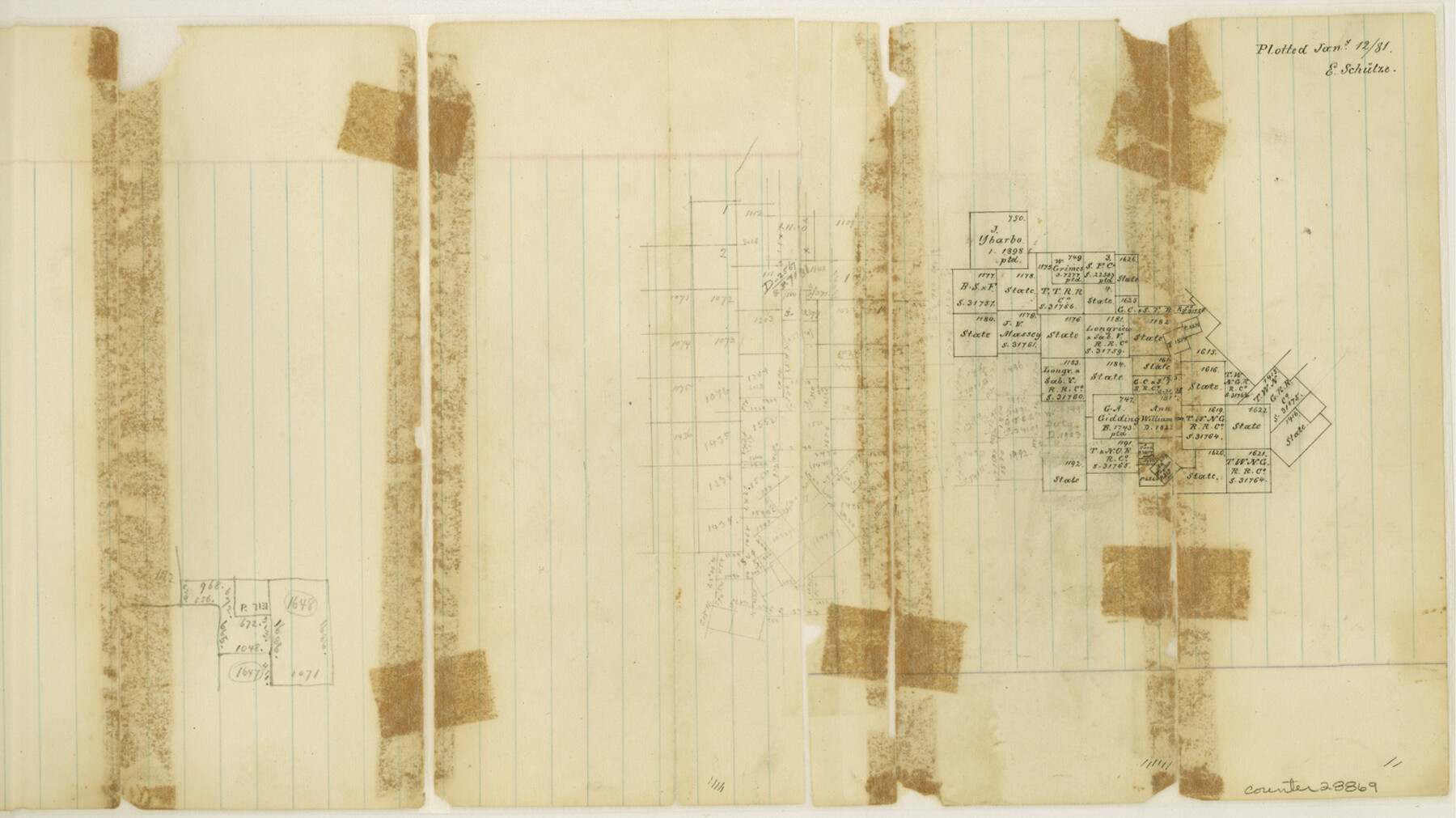
Kerr County Sketch File 7
[Sketch northwest of Kerrville]
-
Map/Doc
28869
-
Collection
General Map Collection
-
Object Dates
1/12/1881 (Creation Date)
1/12/1881 (File Date)
-
People and Organizations
E. Schutze (Draftsman)
-
Counties
Kerr
-
Subjects
Surveying Sketch File
-
Height x Width
8.8 x 15.7 inches
22.4 x 39.9 cm
-
Medium
paper, manuscript
Part of: General Map Collection
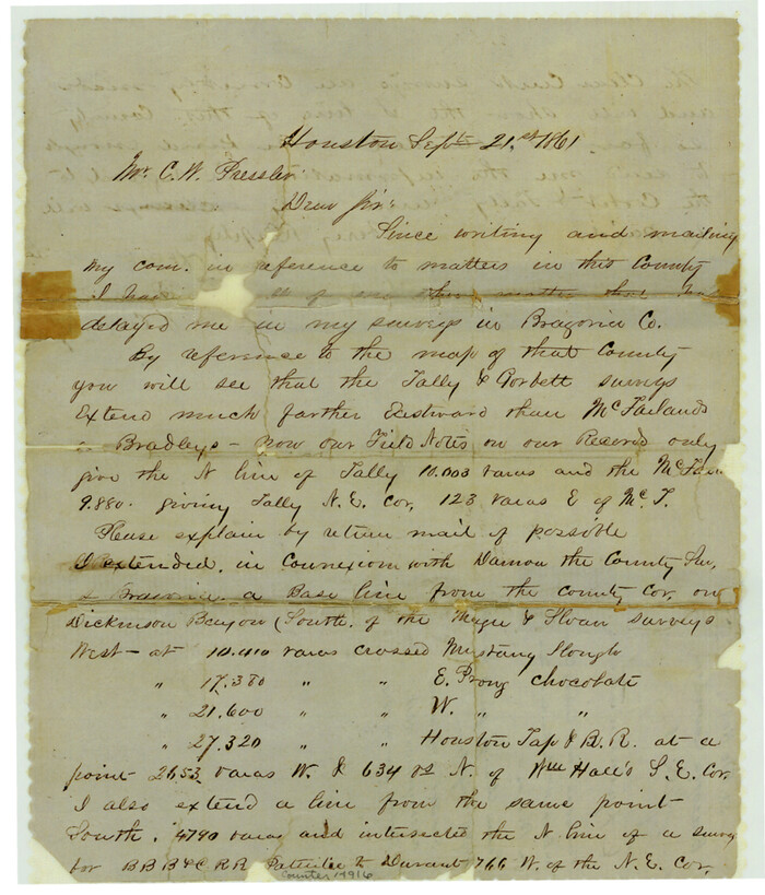
Brazoria County Sketch File 1

Print $4.00
- Digital $50.00
Brazoria County Sketch File 1
1861
Size 9.7 x 8.3 inches
Map/Doc 14916
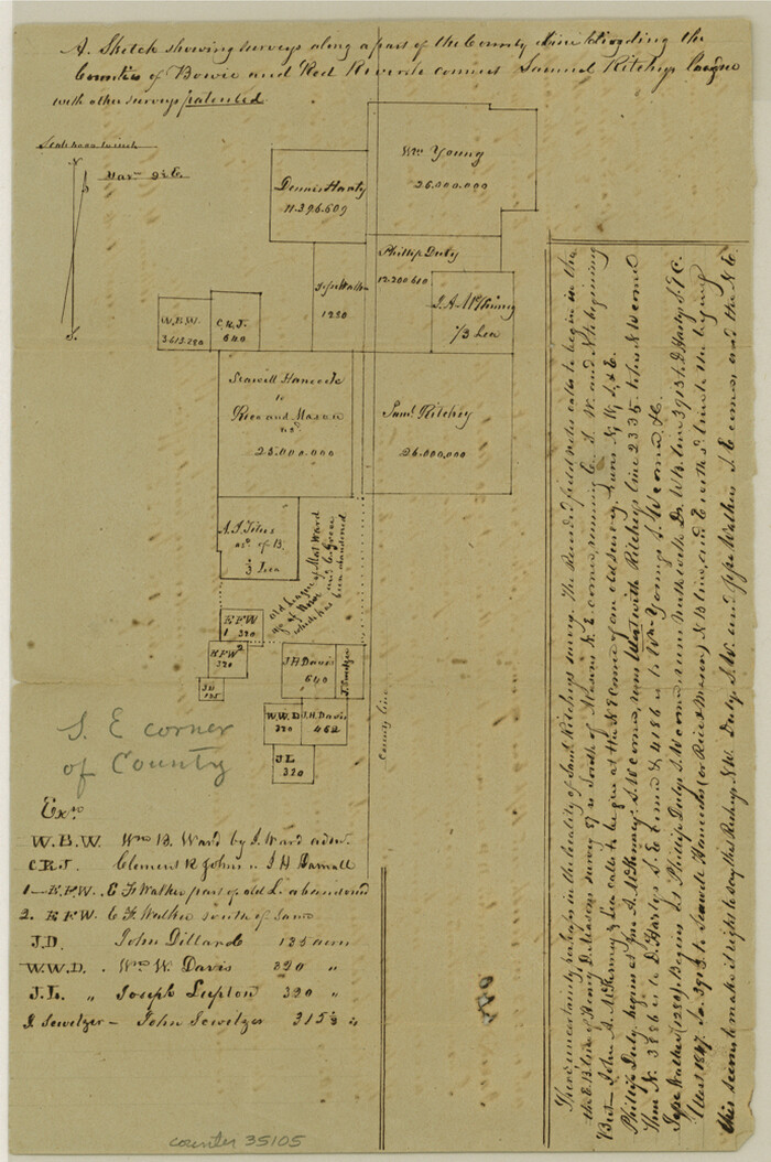
Red River County Sketch File 6

Print $8.00
- Digital $50.00
Red River County Sketch File 6
1853
Size 10.4 x 6.9 inches
Map/Doc 35105
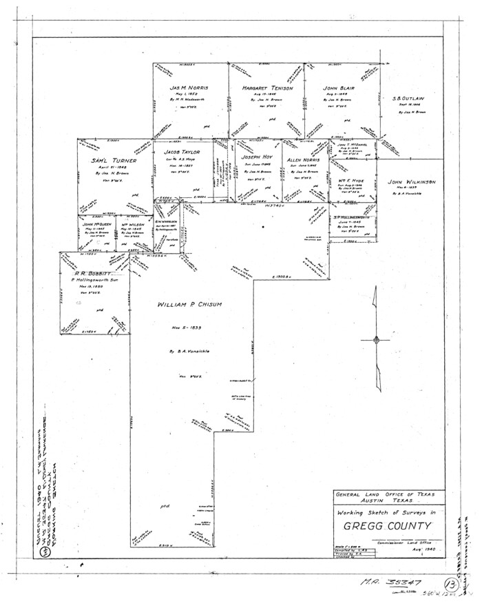
Gregg County Working Sketch 13

Print $20.00
- Digital $50.00
Gregg County Working Sketch 13
1940
Size 30.3 x 24.2 inches
Map/Doc 63280
Nautical Chart 885-SC Intracoastal Waterway - Ellender to Galveston Bay, Louisiana-Texas


Print $40.00
- Digital $50.00
Nautical Chart 885-SC Intracoastal Waterway - Ellender to Galveston Bay, Louisiana-Texas
1972
Size 16.4 x 60.1 inches
Map/Doc 69835
Terrell County Working Sketch 44


Print $40.00
- Digital $50.00
Terrell County Working Sketch 44
1957
Size 40.0 x 71.4 inches
Map/Doc 62137
Harris County Working Sketch 88


Print $20.00
- Digital $50.00
Harris County Working Sketch 88
1972
Size 30.3 x 38.4 inches
Map/Doc 65980
Galveston County NRC Article 33.136 Location Key Sheet
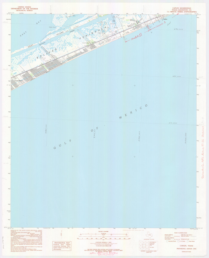

Print $20.00
- Digital $50.00
Galveston County NRC Article 33.136 Location Key Sheet
1994
Size 27.0 x 22.0 inches
Map/Doc 77015
Map of the Reconnaissance in Texas by Lieuts Blake & Meade of the Corps of Topl. Engrs.


Print $20.00
- Digital $50.00
Map of the Reconnaissance in Texas by Lieuts Blake & Meade of the Corps of Topl. Engrs.
1845
Size 27.6 x 18.2 inches
Map/Doc 72894
Trinity County Working Sketch 8
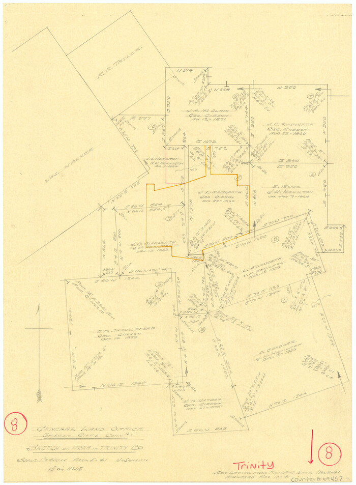

Print $3.00
- Digital $50.00
Trinity County Working Sketch 8
1941
Size 14.7 x 10.8 inches
Map/Doc 69457
Kleberg County
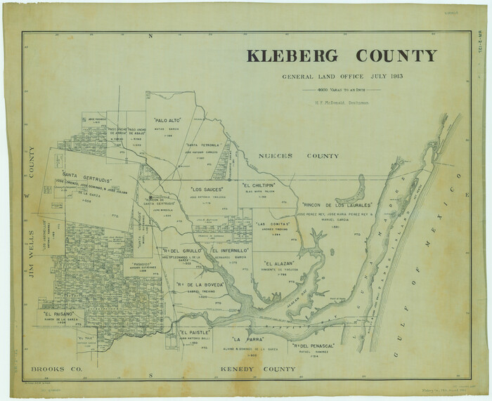

Print $20.00
- Digital $50.00
Kleberg County
1913
Size 26.7 x 32.8 inches
Map/Doc 66894
Cameron County Rolled Sketch 7A
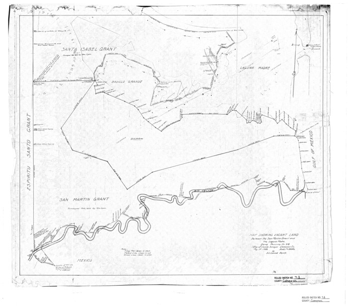

Print $20.00
- Digital $50.00
Cameron County Rolled Sketch 7A
1926
Size 30.2 x 34.0 inches
Map/Doc 5384
North Part of Brewster Co.
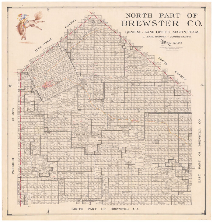

Print $20.00
- Digital $50.00
North Part of Brewster Co.
1956
Size 42.1 x 40.2 inches
Map/Doc 73088
You may also like
Polk County Sketch File 31


Print $10.00
- Digital $50.00
Polk County Sketch File 31
Size 14.2 x 8.6 inches
Map/Doc 34221
Connected Map of Austin's Colony


Print $40.00
- Digital $50.00
Connected Map of Austin's Colony
1837
Size 90.8 x 85.6 inches
Map/Doc 1944
Gregg County Rolled Sketch 9
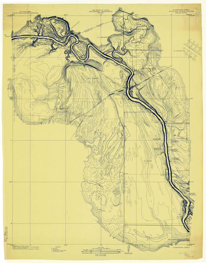

Print $20.00
- Digital $50.00
Gregg County Rolled Sketch 9
1933
Size 38.0 x 29.8 inches
Map/Doc 6034
Runnels County Sketch File 27


Print $6.00
Runnels County Sketch File 27
1949
Size 11.5 x 8.9 inches
Map/Doc 35490
Brazos River, Darrington-Ramsey Farms Project
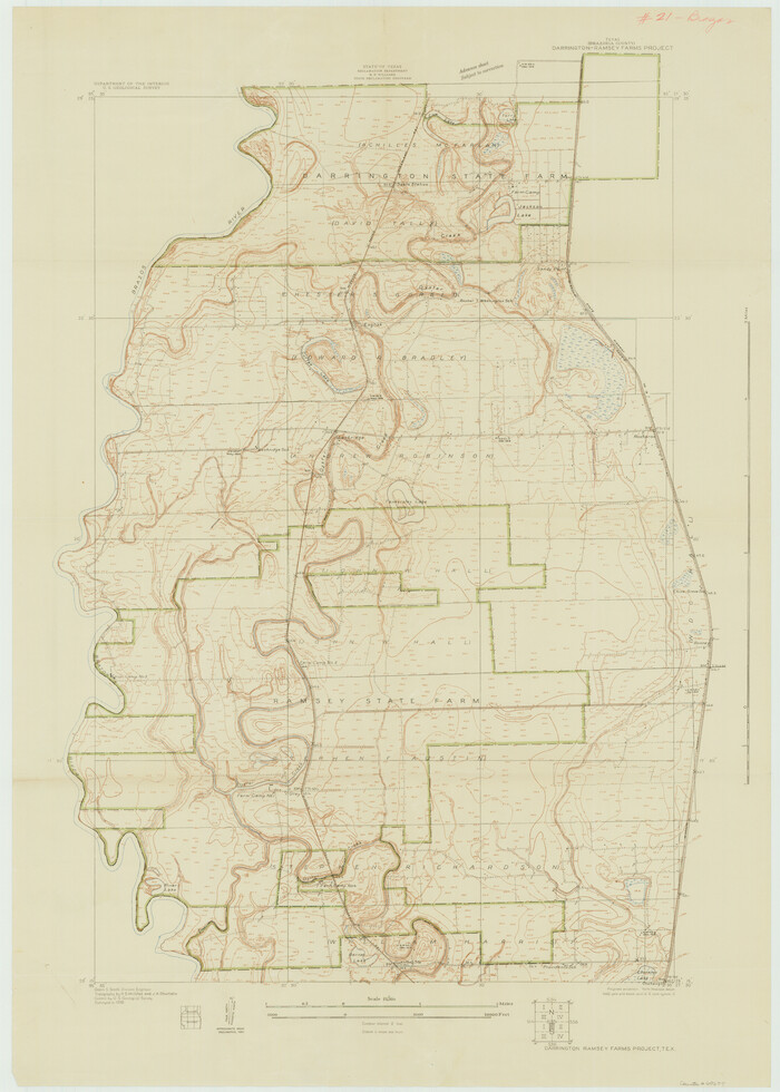

Print $20.00
- Digital $50.00
Brazos River, Darrington-Ramsey Farms Project
1930
Size 37.5 x 26.8 inches
Map/Doc 69677
Knox County Sketch File 8

Print $26.00
- Digital $50.00
Knox County Sketch File 8
1882
Size 8.6 x 7.8 inches
Map/Doc 29218
University Lands Blocks 21 to 26, Pecos County, Texas
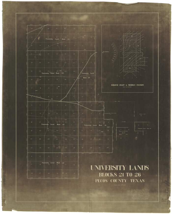

Print $40.00
- Digital $50.00
University Lands Blocks 21 to 26, Pecos County, Texas
1939
Size 48.4 x 39.9 inches
Map/Doc 2450
Wharton County Sketch File 3a


Print $4.00
- Digital $50.00
Wharton County Sketch File 3a
1875
Size 6.8 x 4.6 inches
Map/Doc 39917
Uvalde County Working Sketch 63
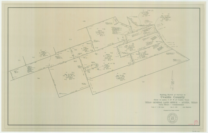

Print $20.00
- Digital $50.00
Uvalde County Working Sketch 63
1995
Size 26.8 x 42.0 inches
Map/Doc 72133
Flight Mission No. DCL-6C, Frame 49, Kenedy County


Print $20.00
- Digital $50.00
Flight Mission No. DCL-6C, Frame 49, Kenedy County
1943
Size 18.6 x 22.5 inches
Map/Doc 85891
Jim Hogg County Working Sketch 3


Print $20.00
- Digital $50.00
Jim Hogg County Working Sketch 3
1939
Size 15.2 x 20.3 inches
Map/Doc 66589
Jeff Davis County Working Sketch 23


Print $20.00
- Digital $50.00
Jeff Davis County Working Sketch 23
1958
Size 41.5 x 30.7 inches
Map/Doc 66518
