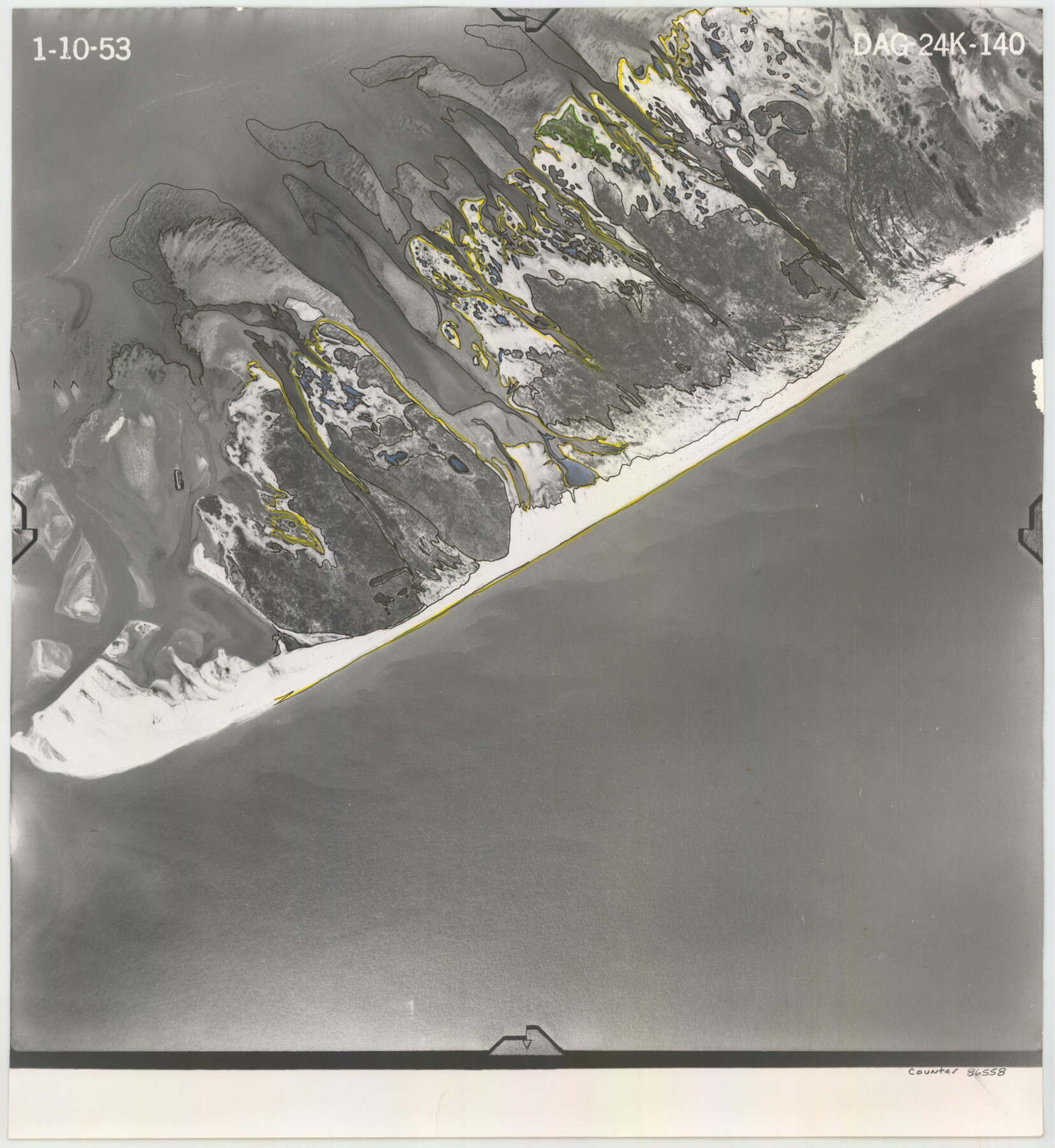
Flight Mission No. DAG-24K, Frame 140, Matagorda County
DAG-24K-140
-
Map/Doc
86558
-
Collection
General Map Collection
-
Object Dates
1953/1/10 (Creation Date)
-
People and Organizations
U. S. Department of Agriculture (Publisher)
-
Counties
Matagorda
-
Subjects
Aerial Photograph
-
Height x Width
17.0 x 15.6 inches
43.2 x 39.6 cm
-
Comments
Flown by Aero Exploration Company of Tulsa, Oklahoma.
Part of: General Map Collection
Wise County Sketch File F

Print $20.00
- Digital $50.00
Wise County Sketch File F
1857
Size 16.2 x 29.2 inches
Map/Doc 12704
Potter County Rolled Sketch 13

Print $20.00
- Digital $50.00
Potter County Rolled Sketch 13
2004
Size 19.2 x 23.2 inches
Map/Doc 82479

Nueces County Sketch File 82

Print $4.00
- Digital $50.00
Nueces County Sketch File 82
2000
Size 11.0 x 8.8 inches
Map/Doc 33165
Flight Mission No. BQR-4K, Frame 66, Brazoria County

Print $20.00
- Digital $50.00
Flight Mission No. BQR-4K, Frame 66, Brazoria County
1952
Size 18.8 x 22.5 inches
Map/Doc 83999
Map showing survey for proposed ship channel from Brownsville to Brazos Santiago Pass

Print $20.00
- Digital $50.00
Map showing survey for proposed ship channel from Brownsville to Brazos Santiago Pass
1912
Size 18.1 x 28.7 inches
Map/Doc 72902
Live Oak County Working Sketch 11

Print $20.00
- Digital $50.00
Live Oak County Working Sketch 11
1949
Size 29.7 x 25.7 inches
Map/Doc 70596
Greer County Sketch File 8

Print $20.00
- Digital $50.00
Greer County Sketch File 8
Size 16.7 x 23.6 inches
Map/Doc 11584
Flight Mission No. BRA-16M, Frame 55, Jefferson County

Print $20.00
- Digital $50.00
Flight Mission No. BRA-16M, Frame 55, Jefferson County
1953
Size 18.4 x 22.4 inches
Map/Doc 85672
Calhoun County Rolled Sketch 14

Print $20.00
- Digital $50.00
Calhoun County Rolled Sketch 14
Size 21.9 x 40.1 inches
Map/Doc 5459
Clay County Boundary File 7

Print $14.00
- Digital $50.00
Clay County Boundary File 7
Size 14.3 x 8.8 inches
Map/Doc 51377
Polk County Boundary File 70

Print $12.00
- Digital $50.00
Polk County Boundary File 70
Size 8.2 x 3.6 inches
Map/Doc 57930
You may also like
Adrian Heights Addition to Adrian, Located in Section 16, Block K11, Oldham County, Texas

Print $20.00
- Digital $50.00
Adrian Heights Addition to Adrian, Located in Section 16, Block K11, Oldham County, Texas
Size 23.8 x 11.6 inches
Map/Doc 91437
Trinity River, Club House Sheet

Print $20.00
- Digital $50.00
Trinity River, Club House Sheet
1925
Size 27.7 x 23.7 inches
Map/Doc 69688
Panola County Sketch File 1a

Print $4.00
- Digital $50.00
Panola County Sketch File 1a
1855
Size 12.7 x 7.9 inches
Map/Doc 33445


Lipscomb County Boundary File 2

Print $6.00
- Digital $50.00
Lipscomb County Boundary File 2
Size 11.1 x 8.6 inches
Map/Doc 56315
Red River County Sketch File 8

Print $22.00
- Digital $50.00
Red River County Sketch File 8
Size 14.7 x 16.8 inches
Map/Doc 35112
Donley County Sketch File 19

Print $20.00
- Digital $50.00
Donley County Sketch File 19
Size 20.4 x 8.4 inches
Map/Doc 11366
San Patricio County Working Sketch 5

Print $20.00
- Digital $50.00
San Patricio County Working Sketch 5
1934
Size 31.6 x 35.9 inches
Map/Doc 63767
Rusk County Rolled Sketch 9

Print $20.00
- Digital $50.00
Rusk County Rolled Sketch 9
Size 25.0 x 33.0 inches
Map/Doc 7546
Aransas County Rolled Sketch 1

Print $40.00
- Digital $50.00
Aransas County Rolled Sketch 1
1930
Size 16.6 x 53.4 inches
Map/Doc 8404
Shackelford County Boundary File 2

Print $88.00
- Digital $50.00
Shackelford County Boundary File 2
Size 8.7 x 5.3 inches
Map/Doc 58633