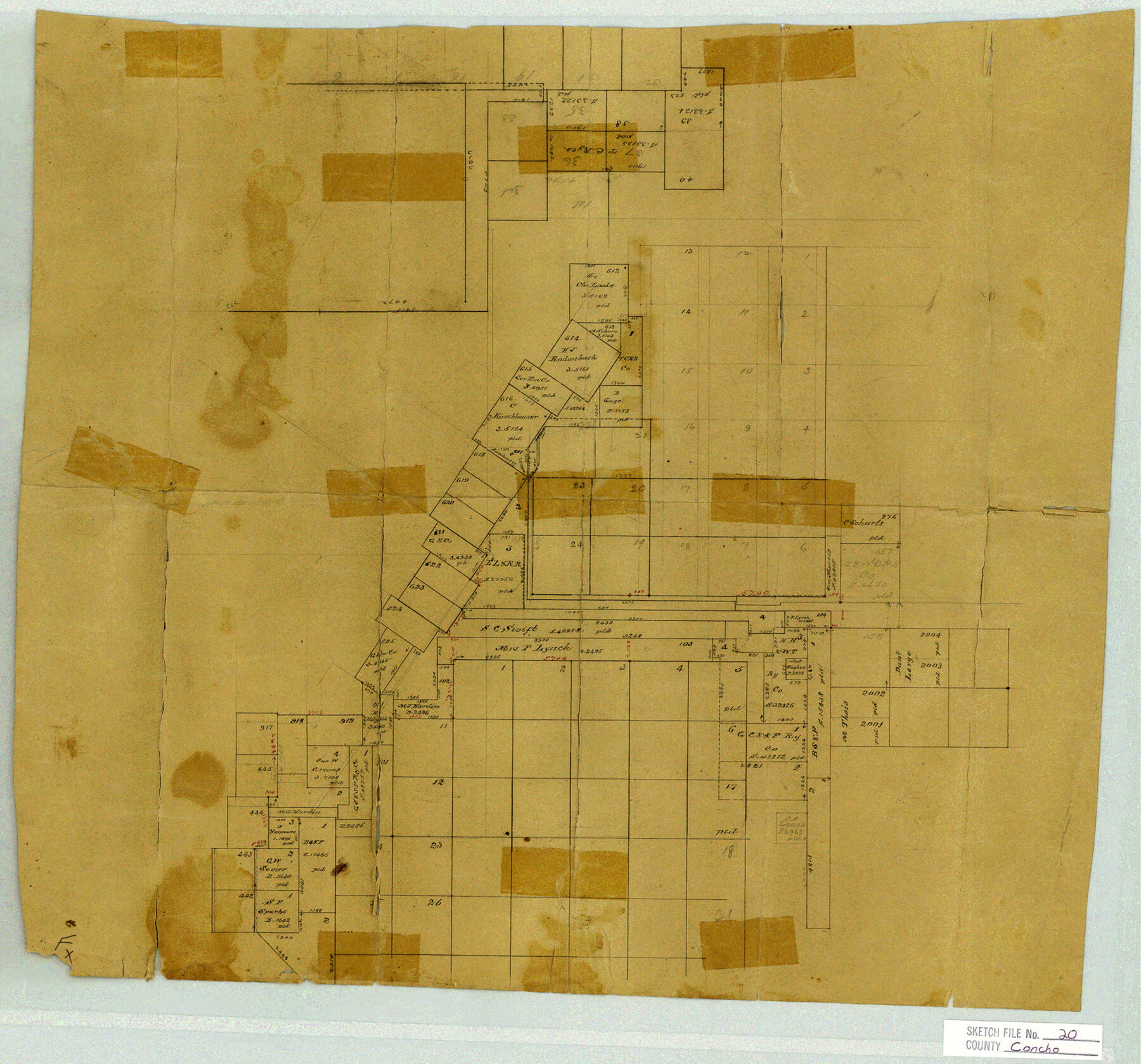
Concho County Sketch File 20
-
Map/Doc
11154
-
Collection
General Map Collection
-
Counties
Concho
-
Subjects
Cadastral Surveying Sketch File
-
Height x Width
17.0 x 18.2 inches
43.2 x 46.2 cm
-
Medium
paper, manuscript
Part of: General Map Collection
Hudspeth County Working Sketch 41
![66326, Hudspeth County Working Sketch 41, General Map Collection](https://historictexasmaps.com/wmedia_w700/maps/66326-GC.tif.jpg)
Print $20.00
- Digital $50.00
Hudspeth County Working Sketch 41
Size 18.3 x 37.1 inches
Map/Doc 66326
Liberty County Sketch File 56
![11996, Liberty County Sketch File 56, General Map Collection](https://historictexasmaps.com/wmedia_w700/pdf_converted_jpg/qi_pdf_thumbnail_8359.jpg)
Print $20.00
- Digital $50.00
Liberty County Sketch File 56
Size 11.9 x 18.7 inches
Map/Doc 11996
Texas Department of Corrections Prison Unit Locations
![3104, Texas Department of Corrections Prison Unit Locations, General Map Collection](https://historictexasmaps.com/wmedia_w700/maps/3104.tif.jpg)
Print $20.00
- Digital $50.00
Texas Department of Corrections Prison Unit Locations
1960
Size 37.0 x 45.7 inches
Map/Doc 3104
Jack County Boundary File 1a
![55376, Jack County Boundary File 1a, General Map Collection](https://historictexasmaps.com/wmedia_w700/pdf_converted_jpg/qi_pdf_thumbnail_16282.jpg)
Print $16.00
- Digital $50.00
Jack County Boundary File 1a
Size 10.7 x 8.4 inches
Map/Doc 55376
Copy of Surveyor's Field Book, Morris Browning - In Blocks 7, 5 & 4, I&GNRRCo., Hutchinson and Carson Counties, Texas
![62258, Copy of Surveyor's Field Book, Morris Browning - In Blocks 7, 5 & 4, I&GNRRCo., Hutchinson and Carson Counties, Texas, General Map Collection](https://historictexasmaps.com/wmedia_w700/maps/62258.tif.jpg)
Print $3.00
- Digital $50.00
Copy of Surveyor's Field Book, Morris Browning - In Blocks 7, 5 & 4, I&GNRRCo., Hutchinson and Carson Counties, Texas
1888
Size 12.7 x 9.7 inches
Map/Doc 62258
Brazoria County Boundary File 2
![50704, Brazoria County Boundary File 2, General Map Collection](https://historictexasmaps.com/wmedia_w700/pdf_converted_jpg/qi_pdf_thumbnail_15678.jpg)
Print $140.00
- Digital $50.00
Brazoria County Boundary File 2
Size 12.8 x 9.8 inches
Map/Doc 50704
Trinity County Working Sketch 1
![69449, Trinity County Working Sketch 1, General Map Collection](https://historictexasmaps.com/wmedia_w700/maps/69449.tif.jpg)
Print $20.00
- Digital $50.00
Trinity County Working Sketch 1
Size 17.1 x 12.3 inches
Map/Doc 69449
Garza County Sketch File 8
![24062, Garza County Sketch File 8, General Map Collection](https://historictexasmaps.com/wmedia_w700/pdf_converted_jpg/qi_pdf_thumbnail_11350.jpg)
Print $8.00
- Digital $50.00
Garza County Sketch File 8
1900
Size 10.3 x 8.2 inches
Map/Doc 24062
Midland County Boundary File 3
![57174, Midland County Boundary File 3, General Map Collection](https://historictexasmaps.com/wmedia_w700/pdf_converted_jpg/qi_pdf_thumbnail_16543.jpg)
Print $4.00
- Digital $50.00
Midland County Boundary File 3
Size 8.2 x 8.3 inches
Map/Doc 57174
Val Verde County Working Sketch 58
![72193, Val Verde County Working Sketch 58, General Map Collection](https://historictexasmaps.com/wmedia_w700/maps/72193.tif.jpg)
Print $20.00
- Digital $50.00
Val Verde County Working Sketch 58
Size 21.0 x 22.8 inches
Map/Doc 72193
Harris County Historic Topographic 27
![65838, Harris County Historic Topographic 27, General Map Collection](https://historictexasmaps.com/wmedia_w700/maps/65838.tif.jpg)
Print $20.00
- Digital $50.00
Harris County Historic Topographic 27
1915
Size 19.8 x 23.5 inches
Map/Doc 65838
Knox County Working Sketch 3
![70245, Knox County Working Sketch 3, General Map Collection](https://historictexasmaps.com/wmedia_w700/maps/70245.tif.jpg)
Print $20.00
- Digital $50.00
Knox County Working Sketch 3
Size 25.0 x 17.0 inches
Map/Doc 70245
You may also like
Current Miscellaneous File 84
![74231, Current Miscellaneous File 84, General Map Collection](https://historictexasmaps.com/wmedia_w700/pdf_converted_jpg/qi_pdf_thumbnail_27728.jpg)
Print $10.00
- Digital $50.00
Current Miscellaneous File 84
1954
Size 11.2 x 8.8 inches
Map/Doc 74231
McMullen County Working Sketch 47
![70748, McMullen County Working Sketch 47, General Map Collection](https://historictexasmaps.com/wmedia_w700/maps/70748.tif.jpg)
Print $40.00
- Digital $50.00
McMullen County Working Sketch 47
Size 55.8 x 43.3 inches
Map/Doc 70748
Atascosa County Rolled Sketch 21
![5100, Atascosa County Rolled Sketch 21, General Map Collection](https://historictexasmaps.com/wmedia_w700/maps/5100.tif.jpg)
Print $20.00
- Digital $50.00
Atascosa County Rolled Sketch 21
1958
Size 25.0 x 38.0 inches
Map/Doc 5100
Irion County Boundary File 4
![55350, Irion County Boundary File 4, General Map Collection](https://historictexasmaps.com/wmedia_w700/pdf_converted_jpg/qi_pdf_thumbnail_16279.jpg)
Print $23.00
- Digital $50.00
Irion County Boundary File 4
Size 11.2 x 8.8 inches
Map/Doc 55350
Flight Mission No. DQO-2K, Frame 94, Galveston County
![85021, Flight Mission No. DQO-2K, Frame 94, Galveston County, General Map Collection](https://historictexasmaps.com/wmedia_w700/pdf_converted_jpg/qi_pdf_thumbnail_32233.jpg)
Print $20.00
- Digital $50.00
Flight Mission No. DQO-2K, Frame 94, Galveston County
1952
Size 18.7 x 22.4 inches
Map/Doc 85021
Jefferson County Rolled Sketch 61F
![6415, Jefferson County Rolled Sketch 61F, General Map Collection](https://historictexasmaps.com/wmedia_w700/maps/6415.tif.jpg)
Print $20.00
- Digital $50.00
Jefferson County Rolled Sketch 61F
1928
Size 27.2 x 40.2 inches
Map/Doc 6415
[Sketch of surveys between Miguel Perez and Francisco Antonio Villareal grants, Starr County]
![5074, [Sketch of surveys between Miguel Perez and Francisco Antonio Villareal grants, Starr County], Maddox Collection](https://historictexasmaps.com/wmedia_w700/maps/05074.tif.jpg)
Print $3.00
- Digital $50.00
[Sketch of surveys between Miguel Perez and Francisco Antonio Villareal grants, Starr County]
1914
Size 16.7 x 10.6 inches
Map/Doc 5074
[Sketch for Mineral Application 13271- Trinity River]
![65627, [Sketch for Mineral Application 13271- Trinity River], General Map Collection](https://historictexasmaps.com/wmedia_w700/maps/65627.tif.jpg)
Print $40.00
- Digital $50.00
[Sketch for Mineral Application 13271- Trinity River]
1925
Size 63.4 x 25.0 inches
Map/Doc 65627
Map of Titus County
![4857, Map of Titus County, General Map Collection](https://historictexasmaps.com/wmedia_w700/maps/4857.tif.jpg)
Print $20.00
- Digital $50.00
Map of Titus County
1857
Size 23.8 x 34.3 inches
Map/Doc 4857
[J. Sherwood and surrounding surveys]
![90977, [J. Sherwood and surrounding surveys], Twichell Survey Records](https://historictexasmaps.com/wmedia_w700/maps/90977-1.tif.jpg)
Print $20.00
- Digital $50.00
[J. Sherwood and surrounding surveys]
Size 24.2 x 18.1 inches
Map/Doc 90977
Dickens County, Texas
![707, Dickens County, Texas, Maddox Collection](https://historictexasmaps.com/wmedia_w700/maps/707.tif.jpg)
Print $20.00
- Digital $50.00
Dickens County, Texas
1891
Size 24.5 x 20.4 inches
Map/Doc 707