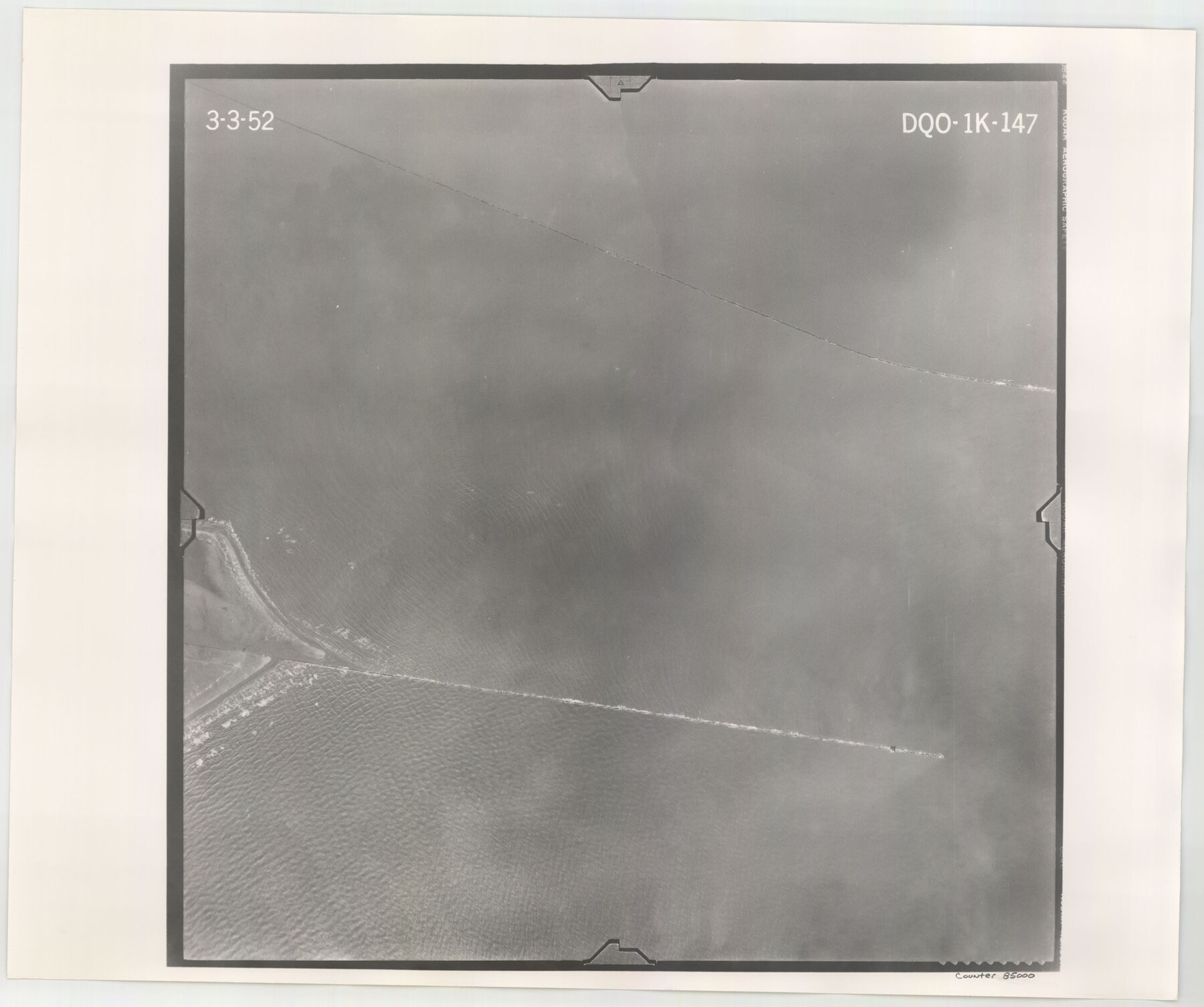
Flight Mission No. DQO-1K, Frame 147, Galveston County
DQO-1K-147
-
Map/Doc
85000
-
Collection
General Map Collection
-
Object Dates
1952/3/3 (Creation Date)
-
People and Organizations
U. S. Department of Agriculture (Publisher)
-
Counties
Galveston
-
Subjects
Aerial Photograph
-
Height x Width
18.8 x 22.4 inches
47.8 x 56.9 cm
-
Comments
Flown by Aero Exploration Company of Tulsa, Oklahoma.
Part of: General Map Collection
[Beaumont, Sour Lake and Western Ry. Right of Way and Alignment - Frisco]
![64132, [Beaumont, Sour Lake and Western Ry. Right of Way and Alignment - Frisco], General Map Collection](https://historictexasmaps.com/wmedia_w700/maps/64132.tif.jpg)
Print $20.00
- Digital $50.00
[Beaumont, Sour Lake and Western Ry. Right of Way and Alignment - Frisco]
1910
Size 19.9 x 46.1 inches
Map/Doc 64132
Flight Mission No. CGI-4N, Frame 181, Cameron County

Print $20.00
- Digital $50.00
Flight Mission No. CGI-4N, Frame 181, Cameron County
1955
Size 18.2 x 22.4 inches
Map/Doc 84684
Stonewall County Working Sketch 30

Print $20.00
- Digital $50.00
Stonewall County Working Sketch 30
1982
Size 28.6 x 29.0 inches
Map/Doc 62337
Comanche County Working Sketch 8

Print $20.00
- Digital $50.00
Comanche County Working Sketch 8
1950
Size 29.1 x 24.8 inches
Map/Doc 68142
Brewster County Working Sketch 16

Print $20.00
- Digital $50.00
Brewster County Working Sketch 16
1930
Size 42.0 x 40.1 inches
Map/Doc 67550
Flight Mission No. BQR-4K, Frame 60, Brazoria County

Print $20.00
- Digital $50.00
Flight Mission No. BQR-4K, Frame 60, Brazoria County
1952
Size 18.7 x 22.4 inches
Map/Doc 83993
Parker County Working Sketch 4

Print $20.00
- Digital $50.00
Parker County Working Sketch 4
1941
Map/Doc 71454
Clay County Boundary File 5

Print $6.00
- Digital $50.00
Clay County Boundary File 5
Size 11.1 x 8.5 inches
Map/Doc 51373
San Jacinto County Working Sketch 20

Print $20.00
- Digital $50.00
San Jacinto County Working Sketch 20
1939
Size 30.3 x 24.0 inches
Map/Doc 63733
Pecos County Working Sketch 3

Print $20.00
- Digital $50.00
Pecos County Working Sketch 3
1927
Map/Doc 71473
Andrews County Rolled Sketch 39

Print $20.00
- Digital $50.00
Andrews County Rolled Sketch 39
1979
Size 43.4 x 44.3 inches
Map/Doc 8401
Hamilton County Sketch File 21

Print $4.00
- Digital $50.00
Hamilton County Sketch File 21
1851
Size 12.9 x 8.2 inches
Map/Doc 24945
You may also like
Bastrop County Working Sketch 1

Print $20.00
- Digital $50.00
Bastrop County Working Sketch 1
1913
Size 24.8 x 21.3 inches
Map/Doc 67301
Montgomery County Sketch File 25

Print $4.00
- Digital $50.00
Montgomery County Sketch File 25
1839
Size 13.8 x 8.2 inches
Map/Doc 31869
[Working Sketch Showing Southwest Part of the County]
![91117, [Working Sketch Showing Southwest Part of the County], Twichell Survey Records](https://historictexasmaps.com/wmedia_w700/maps/91117-1.tif.jpg)
Print $2.00
- Digital $50.00
[Working Sketch Showing Southwest Part of the County]
1886
Size 14.9 x 9.0 inches
Map/Doc 91117
"K" Sketch from Loving & Winkler Counties

Print $40.00
- Digital $50.00
"K" Sketch from Loving & Winkler Counties
1902
Size 49.4 x 39.7 inches
Map/Doc 89938

Jefferson County Working Sketch 17

Print $20.00
- Digital $50.00
Jefferson County Working Sketch 17
1954
Size 47.1 x 30.3 inches
Map/Doc 66560
Map of the East Part of Tom Green County

Print $40.00
- Digital $50.00
Map of the East Part of Tom Green County
1894
Size 45.9 x 49.4 inches
Map/Doc 63071
Cherokee County Working Sketch 1

Print $20.00
- Digital $50.00
Cherokee County Working Sketch 1
1925
Size 22.9 x 24.1 inches
Map/Doc 67956
Aransas County Rolled Sketch 34

Print $42.00
- Digital $50.00
Aransas County Rolled Sketch 34
2004
Size 24.5 x 36.5 inches
Map/Doc 83637
Controlled Mosaic by Jack Amman Photogrammetric Engineers, Inc - Sheet 55

Print $20.00
- Digital $50.00
Controlled Mosaic by Jack Amman Photogrammetric Engineers, Inc - Sheet 55
1954
Size 20.0 x 24.0 inches
Map/Doc 83514
[Sketch for Mineral Application 16787 - Pecos River Bed, A. T. Freet]
![2814, [Sketch for Mineral Application 16787 - Pecos River Bed, A. T. Freet], General Map Collection](https://historictexasmaps.com/wmedia_w700/maps/2814-1.tif.jpg)
Print $40.00
- Digital $50.00
[Sketch for Mineral Application 16787 - Pecos River Bed, A. T. Freet]
1927
Size 20.2 x 59.5 inches
Map/Doc 2814
Reeves County Rolled Sketch 23

Print $20.00
- Digital $50.00
Reeves County Rolled Sketch 23
1982
Size 19.6 x 25.5 inches
Map/Doc 7491