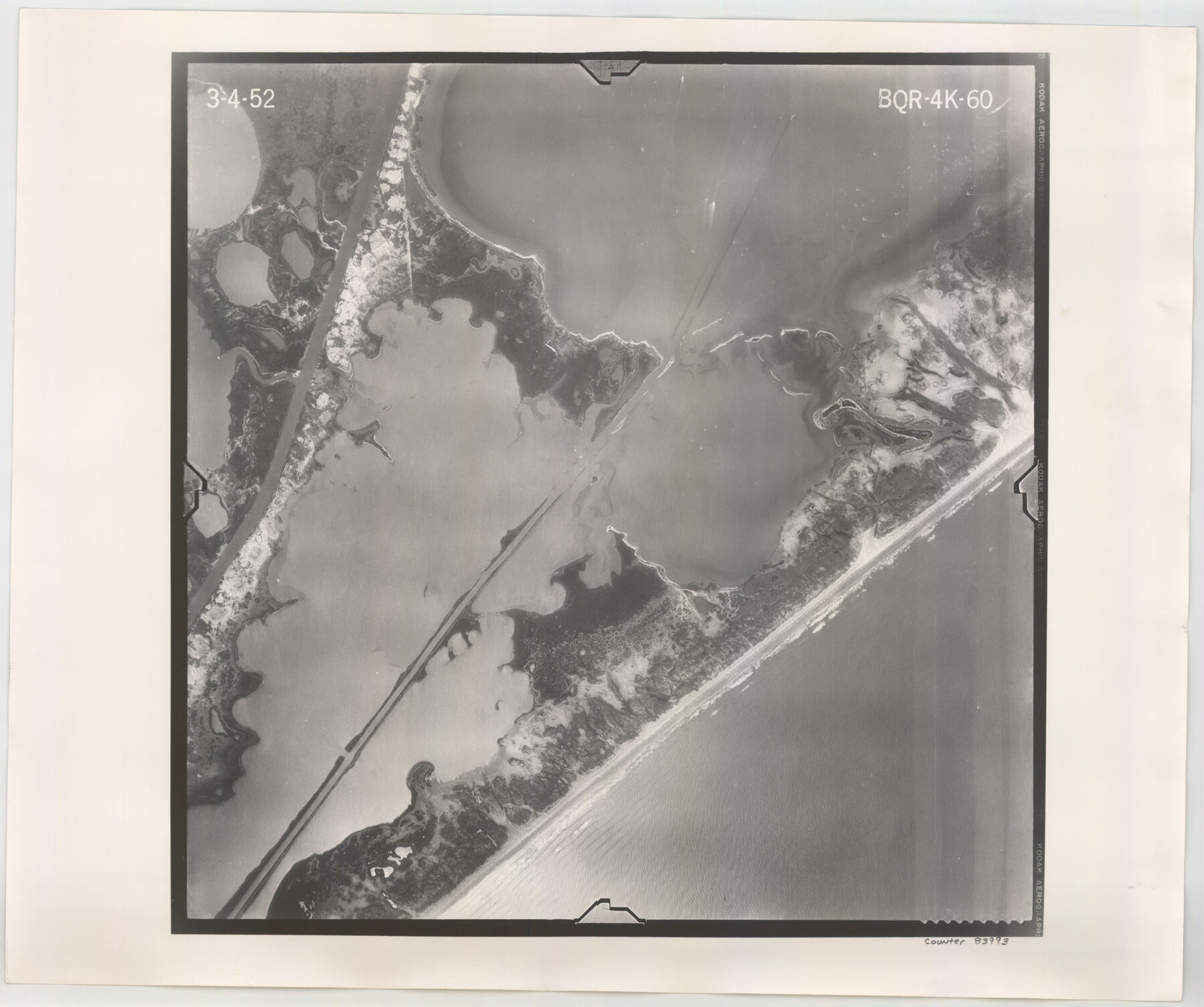
Flight Mission No. BQR-4K, Frame 60, Brazoria County
BQR-4K-60
-
Map/Doc
83993
-
Collection
General Map Collection
-
Object Dates
1952/3/4 (Creation Date)
-
People and Organizations
U. S. Department of Agriculture (Publisher)
-
Counties
Brazoria
-
Subjects
Aerial Photograph
-
Height x Width
18.7 x 22.4 inches
47.5 x 56.9 cm
-
Comments
Flown by Aero Exploration Company of Tulsa, Oklahoma.
Part of: General Map Collection
Brooks County Working Sketch 12

Print $20.00
- Digital $50.00
Brooks County Working Sketch 12
1943
Size 27.0 x 26.5 inches
Map/Doc 67796
Map of Pecos County

Print $40.00
- Digital $50.00
Map of Pecos County
1895
Size 58.1 x 63.4 inches
Map/Doc 16788
Kerr County Rolled Sketch 13

Print $20.00
- Digital $50.00
Kerr County Rolled Sketch 13
1951
Size 23.5 x 30.5 inches
Map/Doc 6498
Flight Mission No. CUG-3P, Frame 83, Kleberg County

Print $20.00
- Digital $50.00
Flight Mission No. CUG-3P, Frame 83, Kleberg County
1956
Size 18.7 x 22.4 inches
Map/Doc 86258
Flight Mission No. CUG-1P, Frame 45, Kleberg County

Print $20.00
- Digital $50.00
Flight Mission No. CUG-1P, Frame 45, Kleberg County
1956
Size 18.5 x 22.2 inches
Map/Doc 86123
Hall County Working Sketch 7

Print $20.00
- Digital $50.00
Hall County Working Sketch 7
1955
Size 31.6 x 18.2 inches
Map/Doc 63335
[Capitol League Sketch E, Hockley County]
![1765, [Capitol League Sketch E, Hockley County], General Map Collection](https://historictexasmaps.com/wmedia_w700/maps/1765.tif.jpg)
Print $20.00
- Digital $50.00
[Capitol League Sketch E, Hockley County]
1910
Size 15.8 x 19.9 inches
Map/Doc 1765
Edwards County Rolled Sketch 16A

Print $20.00
- Digital $50.00
Edwards County Rolled Sketch 16A
1944
Size 25.0 x 19.0 inches
Map/Doc 5805
Galveston County Rolled Sketch 29

Print $104.00
- Digital $50.00
Galveston County Rolled Sketch 29
Size 10.1 x 15.3 inches
Map/Doc 45147
Flight Mission No. CRC-3R, Frame 204, Chambers County

Print $20.00
- Digital $50.00
Flight Mission No. CRC-3R, Frame 204, Chambers County
1956
Size 18.6 x 22.4 inches
Map/Doc 84859
Old Miscellaneous File 25

Print $40.00
- Digital $50.00
Old Miscellaneous File 25
Size 17.8 x 15.2 inches
Map/Doc 75632
El Paso County Rolled Sketch 52

Print $20.00
- Digital $50.00
El Paso County Rolled Sketch 52
1930
Size 18.5 x 24.4 inches
Map/Doc 5837
You may also like
General Highway Map, Castro County, Texas

Print $20.00
General Highway Map, Castro County, Texas
1940
Size 18.5 x 25.1 inches
Map/Doc 79043
Flight Mission No. DCL-6C, Frame 115, Kenedy County

Print $20.00
- Digital $50.00
Flight Mission No. DCL-6C, Frame 115, Kenedy County
1943
Size 18.5 x 22.4 inches
Map/Doc 85945
Anderson County Working Sketch 7

Print $20.00
- Digital $50.00
Anderson County Working Sketch 7
1920
Size 27.3 x 30.2 inches
Map/Doc 67006
Flight Mission No. DCL-7C, Frame 21, Kenedy County

Print $20.00
- Digital $50.00
Flight Mission No. DCL-7C, Frame 21, Kenedy County
1943
Size 15.3 x 15.2 inches
Map/Doc 86013
El Paso County Rolled Sketch 52

Print $20.00
- Digital $50.00
El Paso County Rolled Sketch 52
1955
Size 18.5 x 24.3 inches
Map/Doc 5840
Williamson County Sketch File 29

Print $18.00
- Digital $50.00
Williamson County Sketch File 29
Size 10.2 x 8.2 inches
Map/Doc 40377
Reagan County Rolled Sketch 30

Print $20.00
- Digital $50.00
Reagan County Rolled Sketch 30
Size 32.7 x 28.5 inches
Map/Doc 7446
Parker County Working Sketch 24

Print $20.00
- Digital $50.00
Parker County Working Sketch 24
2008
Map/Doc 88814
Lampasas County Working Sketch 20, revised

Print $20.00
- Digital $50.00
Lampasas County Working Sketch 20, revised
1981
Size 27.1 x 34.5 inches
Map/Doc 70298
[Cotton Belt, St. Louis Southwestern Railway of Texas, Alignment through Smith County]
![64384, [Cotton Belt, St. Louis Southwestern Railway of Texas, Alignment through Smith County], General Map Collection](https://historictexasmaps.com/wmedia_w700/maps/64384.tif.jpg)
Print $20.00
- Digital $50.00
[Cotton Belt, St. Louis Southwestern Railway of Texas, Alignment through Smith County]
1903
Size 21.4 x 29.9 inches
Map/Doc 64384
Newton County Sketch File 20a

Print $8.00
- Digital $50.00
Newton County Sketch File 20a
Size 3.7 x 8.8 inches
Map/Doc 32397
Menard County Boundary File 1a

Print $8.00
- Digital $50.00
Menard County Boundary File 1a
Size 12.7 x 8.2 inches
Map/Doc 57042