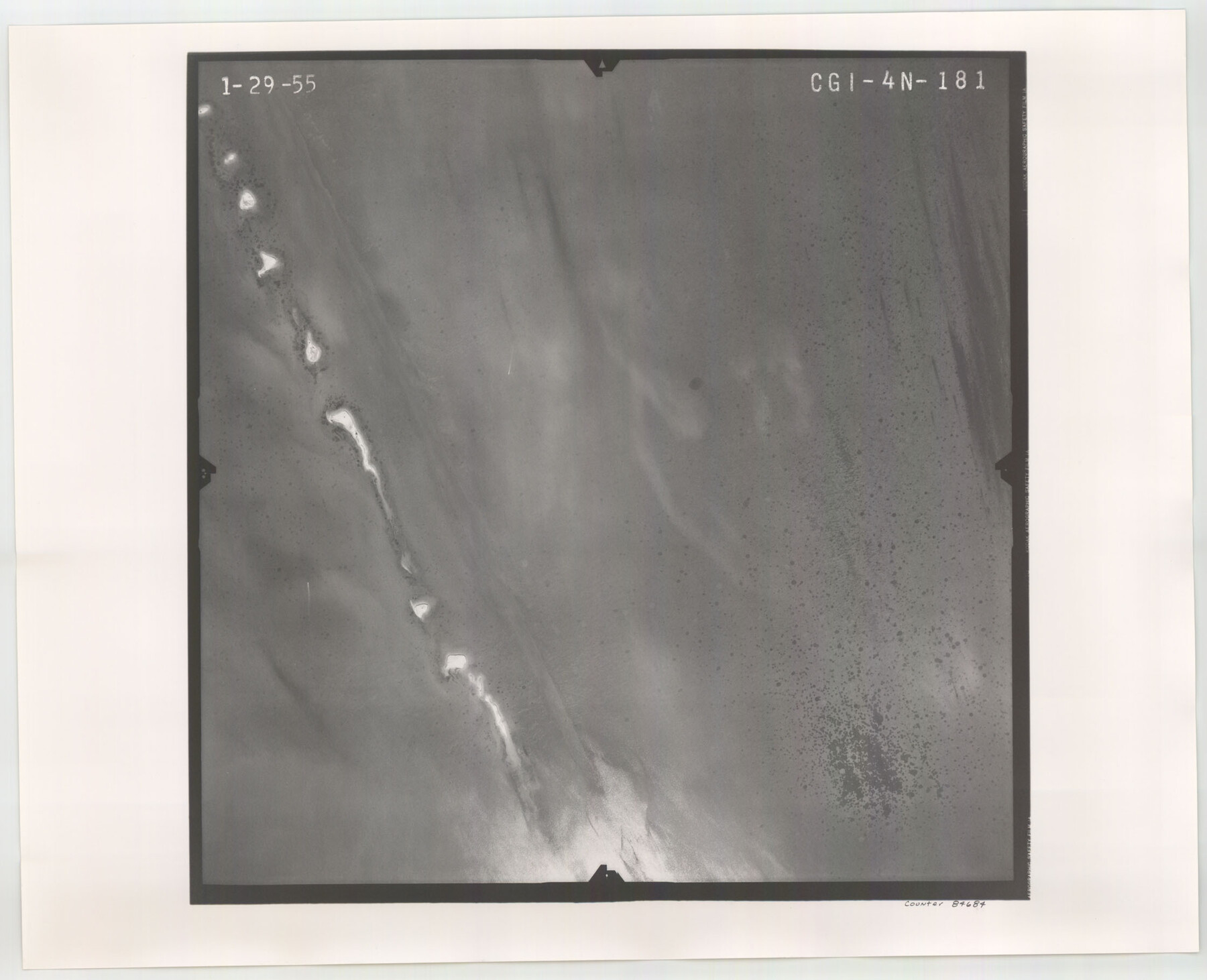
Flight Mission No. CGI-4N, Frame 181, Cameron County
CGI-4N-181
-
Map/Doc
84684
-
Collection
General Map Collection
-
Object Dates
1955/1/29 (Creation Date)
-
People and Organizations
U. S. Department of Agriculture (Publisher)
-
Counties
Cameron
-
Subjects
Aerial Photograph
-
Height x Width
18.2 x 22.4 inches
46.2 x 56.9 cm
-
Comments
Flown by Puckett Aerial Surveys, Inc. of Jackson, Mississippi.
Part of: General Map Collection
Harris County NRC Article 33.136 Sketch 21

Print $38.00
Harris County NRC Article 33.136 Sketch 21
2024
Map/Doc 97295
Clay County Sketch File 28

Print $20.00
- Digital $50.00
Clay County Sketch File 28
Size 25.3 x 31.2 inches
Map/Doc 11090
Liberty County Sketch File 27a

Print $4.00
- Digital $50.00
Liberty County Sketch File 27a
1870
Size 11.6 x 9.0 inches
Map/Doc 29950
Aransas County Sketch File 28

Print $16.00
- Digital $50.00
Aransas County Sketch File 28
1973
Size 11.3 x 8.8 inches
Map/Doc 13226
Brewster County Working Sketch 81

Print $20.00
- Digital $50.00
Brewster County Working Sketch 81
1972
Size 45.9 x 26.7 inches
Map/Doc 67681
Eastland County Working Sketch 63

Print $20.00
- Digital $50.00
Eastland County Working Sketch 63
1997
Size 36.7 x 37.6 inches
Map/Doc 68844
Coast Chart No. 205 - Galveston Bay to Oyster Bay, Texas

Print $20.00
- Digital $50.00
Coast Chart No. 205 - Galveston Bay to Oyster Bay, Texas
1907
Size 34.3 x 40.5 inches
Map/Doc 69927
Hutchinson County Boundary File 4

Print $17.00
- Digital $50.00
Hutchinson County Boundary File 4
Size 14.3 x 8.7 inches
Map/Doc 55305
Somervell County Working Sketch 4

Print $20.00
- Digital $50.00
Somervell County Working Sketch 4
1975
Size 38.3 x 29.7 inches
Map/Doc 63908
Duval County Sketch File 8

Print $6.00
- Digital $50.00
Duval County Sketch File 8
1869
Size 14.1 x 11.3 inches
Map/Doc 21296
Wheeler County Sketch File 5

Print $40.00
- Digital $50.00
Wheeler County Sketch File 5
1887
Size 20.2 x 24.2 inches
Map/Doc 12675
Armstrong County Sketch File A-3

Print $40.00
- Digital $50.00
Armstrong County Sketch File A-3
Size 21.3 x 23.7 inches
Map/Doc 10844
You may also like
Morris County Rolled Sketch 2A

Print $20.00
- Digital $50.00
Morris County Rolled Sketch 2A
Size 24.0 x 18.7 inches
Map/Doc 10258
Bandera County Working Sketch 32

Print $20.00
- Digital $50.00
Bandera County Working Sketch 32
1956
Size 22.7 x 18.4 inches
Map/Doc 67628
Eastland County Working Sketch 61

Print $20.00
- Digital $50.00
Eastland County Working Sketch 61
1989
Size 35.4 x 41.0 inches
Map/Doc 68842
General Highway Map. Detail of Cities and Towns in Bell County, Texas [Killeen and Holland, etc.]
![79367, General Highway Map. Detail of Cities and Towns in Bell County, Texas [Killeen and Holland, etc.], Texas State Library and Archives](https://historictexasmaps.com/wmedia_w700/maps/79367.tif.jpg)
Print $20.00
General Highway Map. Detail of Cities and Towns in Bell County, Texas [Killeen and Holland, etc.]
1961
Size 18.2 x 25.0 inches
Map/Doc 79367
Parker County Sketch File 19

Print $6.00
- Digital $50.00
Parker County Sketch File 19
1876
Size 11.7 x 10.3 inches
Map/Doc 33556
Flight Mission No. DQO-2K, Frame 86, Galveston County

Print $20.00
- Digital $50.00
Flight Mission No. DQO-2K, Frame 86, Galveston County
1952
Size 19.0 x 22.5 inches
Map/Doc 85013

Anderson County Working Sketch 21

Print $20.00
- Digital $50.00
Anderson County Working Sketch 21
1954
Size 24.9 x 33.9 inches
Map/Doc 67021
Callahan County Sketch File 10 1/2

Print $4.00
- Digital $50.00
Callahan County Sketch File 10 1/2
1889
Size 14.4 x 8.7 inches
Map/Doc 35885
North America and the West Indies

Print $20.00
- Digital $50.00
North America and the West Indies
1763
Size 41.6 x 46.9 inches
Map/Doc 93834
Ochiltree County Boundary File 5b

Print $4.00
- Digital $50.00
Ochiltree County Boundary File 5b
Size 13.7 x 8.7 inches
Map/Doc 57697
Map of W. D. Johnson's Pasture

Print $20.00
- Digital $50.00
Map of W. D. Johnson's Pasture
Size 25.1 x 15.0 inches
Map/Doc 90284