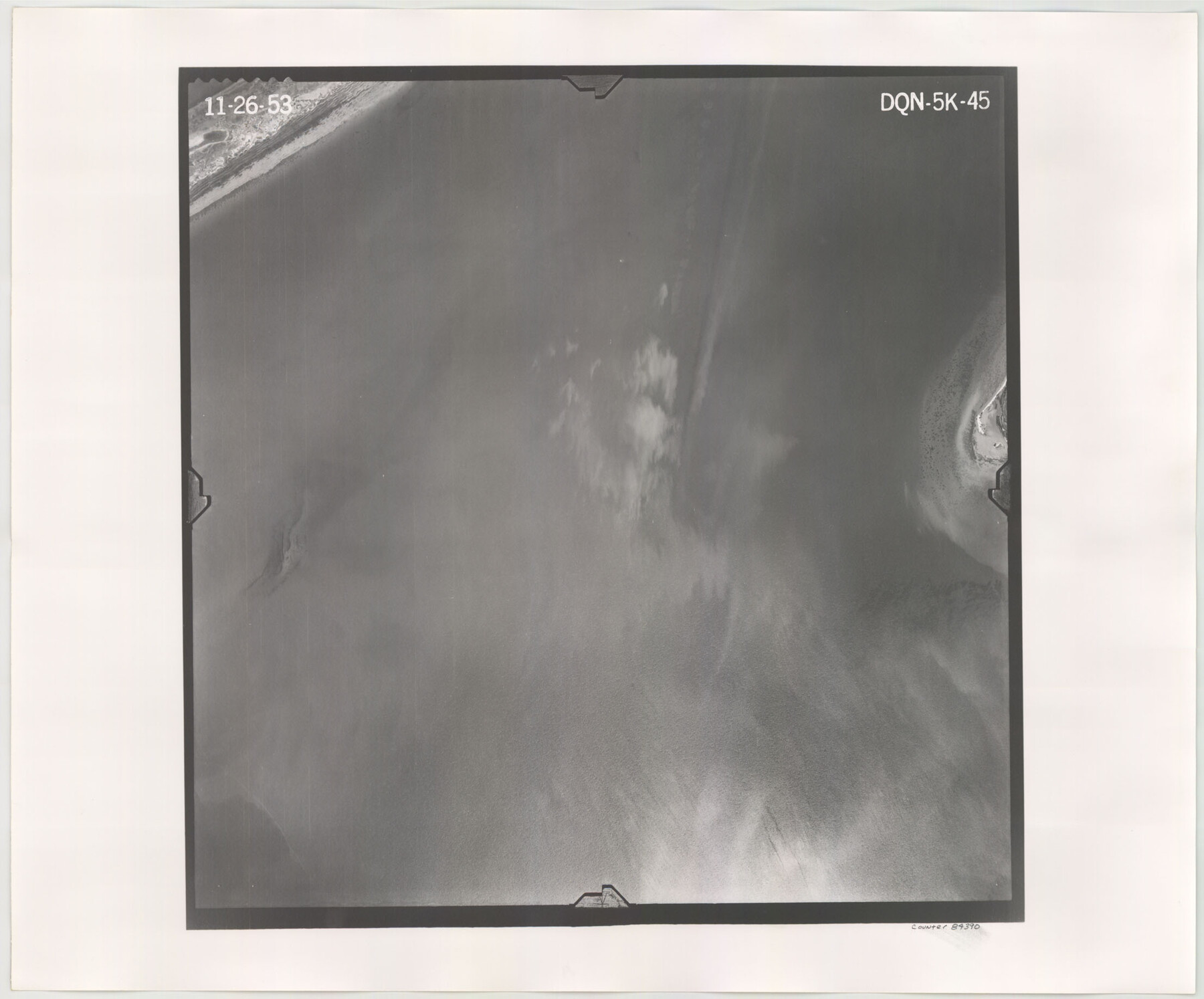
Flight Mission No. DQN-5K, Frame 45, Calhoun County
DQN-5K-45
-
Map/Doc
84390
-
Collection
General Map Collection
-
Object Dates
1953/11/26 (Creation Date)
-
People and Organizations
U. S. Department of Agriculture (Publisher)
-
Counties
Calhoun
-
Subjects
Aerial Photograph
-
Height x Width
18.4 x 22.1 inches
46.7 x 56.1 cm
-
Comments
Flown by Aero Exploration Company of Tulsa, Oklahoma.
Part of: General Map Collection
Hardin County Sketch File 24b

Print $4.00
- Digital $50.00
Hardin County Sketch File 24b
Size 6.4 x 8.0 inches
Map/Doc 25146
Gaines County Working Sketch 17

Print $20.00
- Digital $50.00
Gaines County Working Sketch 17
1964
Size 47.6 x 34.5 inches
Map/Doc 69317
Flight Mission No. BRA-16M, Frame 140, Jefferson County

Print $20.00
- Digital $50.00
Flight Mission No. BRA-16M, Frame 140, Jefferson County
1953
Size 18.6 x 22.2 inches
Map/Doc 85746
Medina County

Print $40.00
- Digital $50.00
Medina County
1915
Size 53.2 x 44.8 inches
Map/Doc 10790
Webb County Working Sketch 88

Print $20.00
- Digital $50.00
Webb County Working Sketch 88
1982
Size 24.2 x 19.7 inches
Map/Doc 72455
Kendall County Sketch File 5

Print $4.00
- Digital $50.00
Kendall County Sketch File 5
1854
Size 8.7 x 7.6 inches
Map/Doc 28686
Somervell County Sketch File 2

Print $20.00
- Digital $50.00
Somervell County Sketch File 2
1847
Size 21.8 x 16.7 inches
Map/Doc 12325
Uvalde County Sketch File 29

Print $8.00
- Digital $50.00
Uvalde County Sketch File 29
1873
Size 13.0 x 8.3 inches
Map/Doc 39028
Brewster County Rolled Sketch 22A

Print $20.00
- Digital $50.00
Brewster County Rolled Sketch 22A
1910
Size 33.0 x 24.8 inches
Map/Doc 5202
Montgomery County Sketch File 6b

Print $40.00
- Digital $50.00
Montgomery County Sketch File 6b
Size 12.8 x 16.2 inches
Map/Doc 31783

Houston County Sketch File 9

Print $4.00
- Digital $50.00
Houston County Sketch File 9
1857
Size 12.7 x 8.1 inches
Map/Doc 26771
You may also like
Robertson County Rolled Sketch 1A

Print $20.00
- Digital $50.00
Robertson County Rolled Sketch 1A
1966
Size 45.3 x 28.1 inches
Map/Doc 9863
Hartley County Rolled Sketch 2

Print $20.00
- Digital $50.00
Hartley County Rolled Sketch 2
Size 41.2 x 27.6 inches
Map/Doc 6158
Baylor County Sketch File A6

Print $80.00
- Digital $50.00
Baylor County Sketch File A6
1899
Size 22.5 x 31.7 inches
Map/Doc 10912
Outer Continental Shelf Leasing Maps (Louisiana Offshore Operations)

Print $20.00
- Digital $50.00
Outer Continental Shelf Leasing Maps (Louisiana Offshore Operations)
1959
Size 17.8 x 14.0 inches
Map/Doc 76100
Wharton County Sketch File 4a

Print $4.00
- Digital $50.00
Wharton County Sketch File 4a
1876
Size 12.7 x 8.1 inches
Map/Doc 39919
El Paso County Rolled Sketch 52

Print $20.00
- Digital $50.00
El Paso County Rolled Sketch 52
1929
Size 18.5 x 24.4 inches
Map/Doc 5838
Flight Mission No. CUG-1P, Frame 111, Kleberg County

Print $20.00
- Digital $50.00
Flight Mission No. CUG-1P, Frame 111, Kleberg County
1956
Size 18.5 x 22.2 inches
Map/Doc 86161
Sabine County Working Sketch 14

Print $20.00
- Digital $50.00
Sabine County Working Sketch 14
1953
Size 29.3 x 38.6 inches
Map/Doc 63685
Matagorda County Boundary File 101

Print $10.00
- Digital $50.00
Matagorda County Boundary File 101
Size 8.9 x 7.4 inches
Map/Doc 56896
Map of Kerr County Texas

Print $20.00
- Digital $50.00
Map of Kerr County Texas
1879
Size 20.5 x 28.5 inches
Map/Doc 4575
Map of Louisiana, Texas, Arkansas and Indian Territory

Print $20.00
- Digital $50.00
Map of Louisiana, Texas, Arkansas and Indian Territory
1885
Size 9.0 x 12.2 inches
Map/Doc 93519
