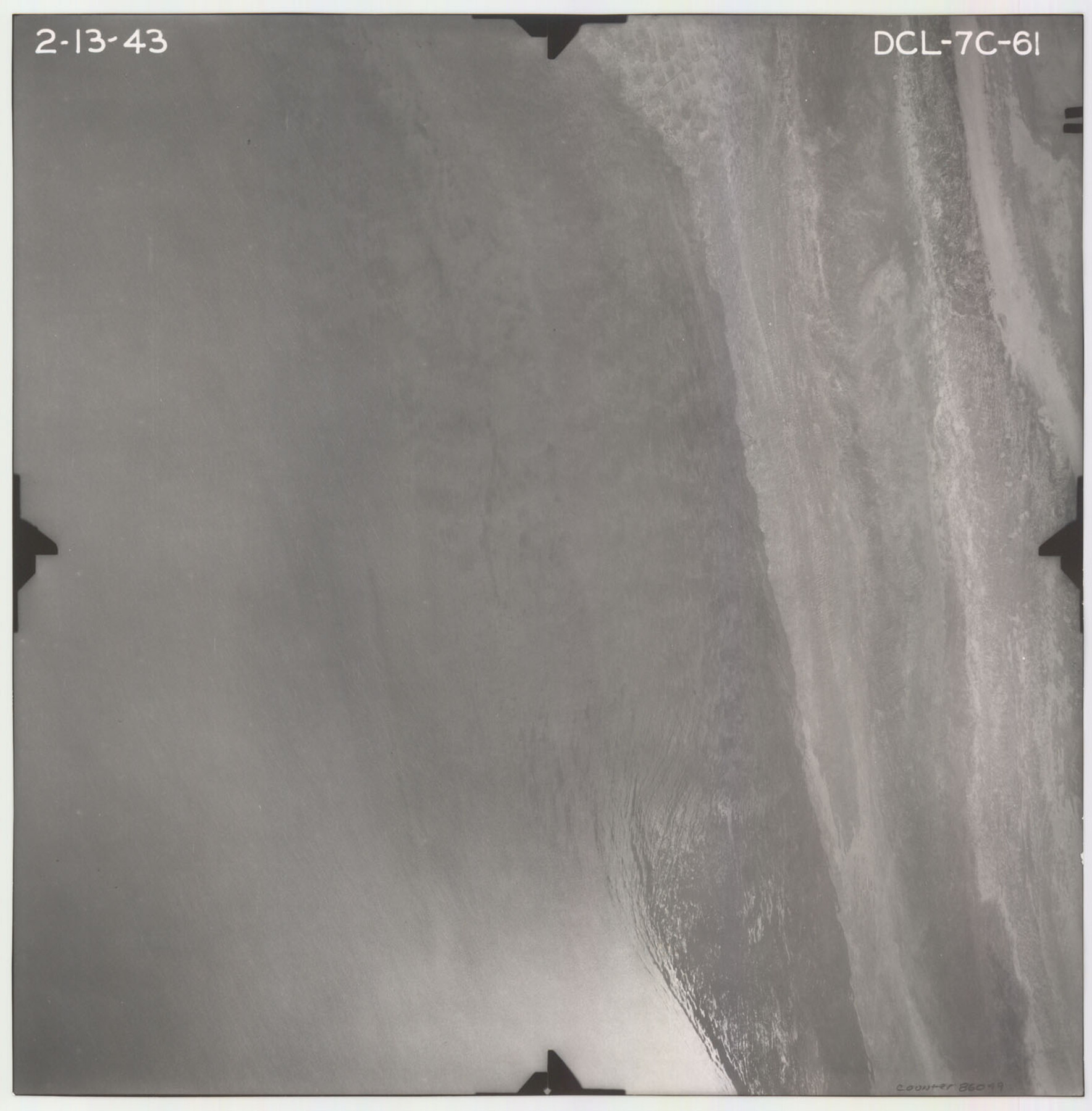
Flight Mission No. DCL-7C, Frame 61, Kenedy County
DCL-7C-61
-
Map/Doc
86049
-
Collection
General Map Collection
-
Object Dates
1943/2/13 (Creation Date)
-
People and Organizations
U. S. Department of Agriculture (Publisher)
-
Counties
Kenedy
-
Subjects
Aerial Photograph
-
Height x Width
15.4 x 15.2 inches
39.1 x 38.6 cm
-
Comments
Flown by Aerial Surveys of Pittsburgh, Inc. of Pittsburgh, Pennsylvania.
Part of: General Map Collection
Hudspeth County Working Sketch 55

Print $20.00
- Digital $50.00
Hudspeth County Working Sketch 55
1989
Size 22.3 x 29.5 inches
Map/Doc 66340
Presidio County Working Sketch 33

Print $40.00
- Digital $50.00
Presidio County Working Sketch 33
1947
Size 41.6 x 50.6 inches
Map/Doc 71710
Map of the District of San Patricio and Nueces

Print $40.00
- Digital $50.00
Map of the District of San Patricio and Nueces
Size 93.8 x 67.5 inches
Map/Doc 1955
Oldham County Sketch File 1

Print $24.00
- Digital $50.00
Oldham County Sketch File 1
1880
Size 12.6 x 7.9 inches
Map/Doc 33213
Williamson County Sketch File 31

Print $14.00
- Digital $50.00
Williamson County Sketch File 31
1991
Size 11.2 x 8.4 inches
Map/Doc 40386
Bell County Working Sketch 19

Print $40.00
- Digital $50.00
Bell County Working Sketch 19
1994
Size 48.3 x 38.4 inches
Map/Doc 67359
Coleman County Rolled Sketch 8

Print $40.00
- Digital $50.00
Coleman County Rolled Sketch 8
1951
Size 58.8 x 40.8 inches
Map/Doc 8634
Map of Ramon Musquiz Survey, Meanders of Lavaca & Navidad Rivers, Menefee & Redfish Lakes

Print $20.00
- Digital $50.00
Map of Ramon Musquiz Survey, Meanders of Lavaca & Navidad Rivers, Menefee & Redfish Lakes
1934
Size 23.4 x 18.4 inches
Map/Doc 65455
Flight Mission No. CUG-1P, Frame 26, Kleberg County

Print $20.00
- Digital $50.00
Flight Mission No. CUG-1P, Frame 26, Kleberg County
1956
Size 18.6 x 22.2 inches
Map/Doc 86116
Harris County Working Sketch 83

Print $20.00
- Digital $50.00
Harris County Working Sketch 83
1970
Size 26.0 x 30.1 inches
Map/Doc 65975
Tarrant County Working Sketch 26

Print $20.00
- Digital $50.00
Tarrant County Working Sketch 26
2004
Size 27.1 x 43.9 inches
Map/Doc 83586
Flight Mission No. DAH-17M, Frame 25, Orange County

Print $20.00
- Digital $50.00
Flight Mission No. DAH-17M, Frame 25, Orange County
1953
Size 18.7 x 22.3 inches
Map/Doc 86888
You may also like
Kinney County Sketch File 15

Print $20.00
- Digital $50.00
Kinney County Sketch File 15
1887
Size 13.0 x 19.0 inches
Map/Doc 11940
Parmer County Sketch File 3

Print $20.00
- Digital $50.00
Parmer County Sketch File 3
1905
Size 17.2 x 14.4 inches
Map/Doc 12153
Pecos County Rolled Sketch DK1

Print $20.00
- Digital $50.00
Pecos County Rolled Sketch DK1
1938
Size 36.2 x 43.7 inches
Map/Doc 9713
Hamilton County Working Sketch 23

Print $20.00
- Digital $50.00
Hamilton County Working Sketch 23
1955
Size 23.5 x 31.2 inches
Map/Doc 63361
Foard County Sketch File X

Print $20.00
- Digital $50.00
Foard County Sketch File X
1882
Size 15.8 x 17.3 inches
Map/Doc 11499
A New Map, or Chart in Mercators Projection, of the Western or Atlantic Ocean, with part of Europe, Africa and America

Print $20.00
- Digital $50.00
A New Map, or Chart in Mercators Projection, of the Western or Atlantic Ocean, with part of Europe, Africa and America
1781
Size 17.3 x 21.7 inches
Map/Doc 95368
Dawson County Boundary File 1

Print $48.00
- Digital $50.00
Dawson County Boundary File 1
Size 8.8 x 4.0 inches
Map/Doc 52314
Brooks County Working Sketch 14

Print $20.00
- Digital $50.00
Brooks County Working Sketch 14
1944
Size 29.2 x 20.0 inches
Map/Doc 67798
Jefferson County Sketch File 21

Print $10.00
- Digital $50.00
Jefferson County Sketch File 21
Size 8.6 x 6.6 inches
Map/Doc 28171
Andrews County Sketch File 8a

Print $8.00
- Digital $50.00
Andrews County Sketch File 8a
1943
Size 11.3 x 8.8 inches
Map/Doc 12849

Briscoe County Sketch File D-2

Print $40.00
- Digital $50.00
Briscoe County Sketch File D-2
1901
Size 18.5 x 7.8 inches
Map/Doc 16411