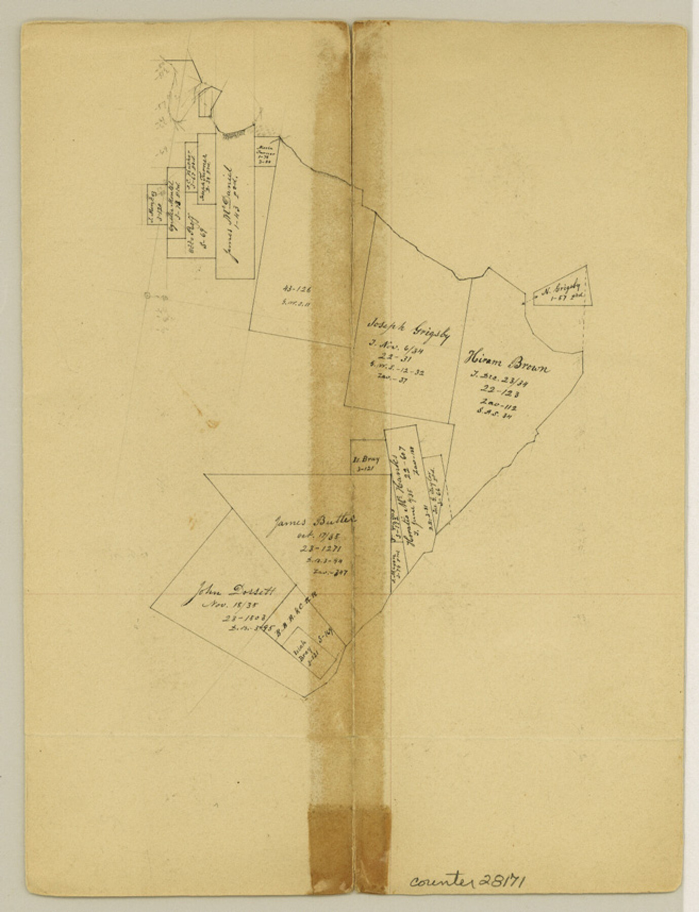
Jefferson County Sketch File 21
[Office sketches on south side of Neches River, near its mouth]
-
Map/Doc
28171
-
Collection
General Map Collection
-
Object Dates
10/2/1872 (File Date)
-
People and Organizations
James Ingalls (Surveyor/Engineer)
James H. Hayes (Draftsman)
-
Counties
Jefferson
-
Subjects
Surveying Sketch File
-
Height x Width
8.6 x 6.6 inches
21.8 x 16.8 cm
-
Medium
paper, manuscript
-
Features
Neches River
Part of: General Map Collection
Concho County Sketch File 47

Print $20.00
- Digital $50.00
Concho County Sketch File 47
1950
Size 16.8 x 21.0 inches
Map/Doc 11165
Chambers County Sketch File 58

Print $2.00
- Digital $50.00
Chambers County Sketch File 58
1995
Size 9.1 x 14.7 inches
Map/Doc 18108
Edwards County Sketch File 42

Print $20.00
- Digital $50.00
Edwards County Sketch File 42
1947
Size 17.9 x 22.7 inches
Map/Doc 11440
Comanche County Sketch File 4

Print $40.00
- Digital $50.00
Comanche County Sketch File 4
1855
Size 19.0 x 15.9 inches
Map/Doc 19057
Ward County Sketch File 2

Print $40.00
- Digital $50.00
Ward County Sketch File 2
Size 25.0 x 62.7 inches
Map/Doc 10426
Trinity River, Wire Bridge Sheet/Denton Creek

Print $6.00
- Digital $50.00
Trinity River, Wire Bridge Sheet/Denton Creek
1938
Size 30.4 x 29.7 inches
Map/Doc 65244

Liberty County

Print $20.00
- Digital $50.00
Liberty County
1862
Size 24.3 x 24.8 inches
Map/Doc 3815
[Edwards Co.]
![66811, [Edwards Co.], General Map Collection](https://historictexasmaps.com/wmedia_w700/maps/66811.tif.jpg)
Print $20.00
- Digital $50.00
[Edwards Co.]
1910
Size 38.8 x 36.2 inches
Map/Doc 66811
Duval County Sketch File 53

Print $4.00
- Digital $50.00
Duval County Sketch File 53
1937
Size 11.6 x 7.3 inches
Map/Doc 21416
Ward County Rolled Sketch PMY

Print $40.00
- Digital $50.00
Ward County Rolled Sketch PMY
1935
Size 14.4 x 74.5 inches
Map/Doc 10104
Blanco County Working Sketch 43

Print $20.00
- Digital $50.00
Blanco County Working Sketch 43
1993
Size 42.7 x 26.5 inches
Map/Doc 67403
You may also like
Nacogdoches County Working Sketch 9

Print $20.00
- Digital $50.00
Nacogdoches County Working Sketch 9
1967
Size 27.6 x 32.1 inches
Map/Doc 71225
The Continent and Islands of the West Indies

Print $20.00
The Continent and Islands of the West Indies
1804
Size 22.8 x 26.0 inches
Map/Doc 79318
[Blocks B-19, B-29, 34 and 5]
![91846, [Blocks B-19, B-29, 34 and 5], Twichell Survey Records](https://historictexasmaps.com/wmedia_w700/maps/91846-1.tif.jpg)
Print $20.00
- Digital $50.00
[Blocks B-19, B-29, 34 and 5]
1902
Size 12.2 x 16.4 inches
Map/Doc 91846
Comanche County Sketch File 6

Print $4.00
- Digital $50.00
Comanche County Sketch File 6
1854
Size 12.7 x 8.4 inches
Map/Doc 19061
Jeff Davis County Rolled Sketch 11

Print $20.00
- Digital $50.00
Jeff Davis County Rolled Sketch 11
1914
Size 17.9 x 14.4 inches
Map/Doc 6364
[Texas and Pacific Blocks 56-62, Townships 1-3]
![90501, [Texas and Pacific Blocks 56-62, Townships 1-3], Twichell Survey Records](https://historictexasmaps.com/wmedia_w700/maps/90501-1.tif.jpg)
Print $20.00
- Digital $50.00
[Texas and Pacific Blocks 56-62, Townships 1-3]
1885
Size 28.4 x 15.9 inches
Map/Doc 90501
Jackson County Working Sketch 11

Print $40.00
- Digital $50.00
Jackson County Working Sketch 11
1994
Size 33.8 x 48.4 inches
Map/Doc 66459
[Northwest Quarter of County]
![91077, [Northwest Quarter of County], Twichell Survey Records](https://historictexasmaps.com/wmedia_w700/maps/91077-1.tif.jpg)
Print $20.00
- Digital $50.00
[Northwest Quarter of County]
1914
Size 18.6 x 25.7 inches
Map/Doc 91077
[Upton County Sketch]
![76176, [Upton County Sketch], Maddox Collection](https://historictexasmaps.com/wmedia_w700/maps/76176.tif.jpg)
Print $40.00
- Digital $50.00
[Upton County Sketch]
Size 19.1 x 60.8 inches
Map/Doc 76176
Harrison County Sketch File 1

Print $26.00
- Digital $50.00
Harrison County Sketch File 1
1849
Size 8.2 x 7.7 inches
Map/Doc 26030
Schleicher County

Print $40.00
- Digital $50.00
Schleicher County
1898
Size 33.7 x 53.5 inches
Map/Doc 16811
Pecos County Rolled Sketch 116

Print $20.00
- Digital $50.00
Pecos County Rolled Sketch 116
Size 26.7 x 20.6 inches
Map/Doc 7259