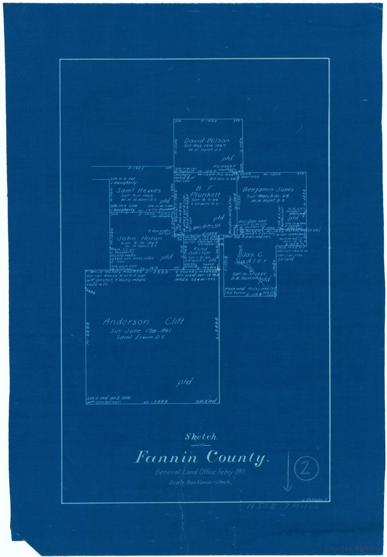
Fannin County Working Sketch 2
-
Map/Doc
69156
-
Collection
General Map Collection
-
Object Dates
2/1911 (Creation Date)
-
People and Organizations
L. Ehlinger (Draftsman)
-
Counties
Fannin
-
Subjects
Surveying Working Sketch
-
Height x Width
14.9 x 10.3 inches
37.9 x 26.2 cm
-
Scale
1" = 800 varas
Part of: General Map Collection
Crane County Working Sketch 3

Print $20.00
- Digital $50.00
Crane County Working Sketch 3
1924
Size 36.2 x 34.4 inches
Map/Doc 68280
Angelina County

Print $40.00
- Digital $50.00
Angelina County
1945
Size 40.2 x 49.7 inches
Map/Doc 95417
Eastland County Rolled Sketch 20

Print $20.00
- Digital $50.00
Eastland County Rolled Sketch 20
1982
Size 43.5 x 38.4 inches
Map/Doc 8826
Hall County Sketch File 4

Print $6.00
- Digital $50.00
Hall County Sketch File 4
Size 14.2 x 9.3 inches
Map/Doc 24800
Presidio County Working Sketch 52

Print $20.00
- Digital $50.00
Presidio County Working Sketch 52
1954
Size 46.5 x 27.6 inches
Map/Doc 71729
Anderson County Working Sketch 32

Print $20.00
- Digital $50.00
Anderson County Working Sketch 32
1966
Size 23.7 x 21.9 inches
Map/Doc 67032
Navigation Maps of Gulf Intracoastal Waterway, Port Arthur to Brownsville, Texas

Print $4.00
- Digital $50.00
Navigation Maps of Gulf Intracoastal Waterway, Port Arthur to Brownsville, Texas
1951
Size 16.7 x 21.5 inches
Map/Doc 65442
Dimmit County Sketch File 47

Print $24.00
- Digital $50.00
Dimmit County Sketch File 47
1908
Size 11.2 x 9.0 inches
Map/Doc 21178
Flight Mission No. DQN-2K, Frame 147, Calhoun County

Print $20.00
- Digital $50.00
Flight Mission No. DQN-2K, Frame 147, Calhoun County
1953
Size 19.0 x 22.6 inches
Map/Doc 84316
Mitchell County Sketch File 7A

Print $20.00
- Digital $50.00
Mitchell County Sketch File 7A
1906
Size 20.4 x 14.0 inches
Map/Doc 12097
Matagorda County State Real Property Sketch 1

Print $20.00
- Digital $50.00
Matagorda County State Real Property Sketch 1
1989
Size 19.1 x 25.2 inches
Map/Doc 95171
Pecos County Sketch File 71

Print $8.00
- Digital $50.00
Pecos County Sketch File 71
1936
Size 11.2 x 8.7 inches
Map/Doc 33872
You may also like
Bosque County Working Sketch 9

Print $20.00
- Digital $50.00
Bosque County Working Sketch 9
1943
Size 11.2 x 18.3 inches
Map/Doc 67442
Flight Mission No. DAG-18K, Frame 69, Matagorda County

Print $20.00
- Digital $50.00
Flight Mission No. DAG-18K, Frame 69, Matagorda County
1952
Size 16.3 x 16.2 inches
Map/Doc 86362
Galveston County Sketch File 6

Print $4.00
- Digital $50.00
Galveston County Sketch File 6
Size 14.2 x 8.9 inches
Map/Doc 23362
Harris County

Print $20.00
- Digital $50.00
Harris County
1940
Size 36.6 x 45.1 inches
Map/Doc 73172
Pecos County Working Sketch 39

Print $20.00
- Digital $50.00
Pecos County Working Sketch 39
1940
Size 37.5 x 37.6 inches
Map/Doc 71511
Runnels County

Print $40.00
- Digital $50.00
Runnels County
1948
Size 48.8 x 38.8 inches
Map/Doc 73278
Hardin County Working Sketch 8

Print $20.00
- Digital $50.00
Hardin County Working Sketch 8
1926
Size 16.5 x 21.0 inches
Map/Doc 63406
Motley County, Texas

Print $20.00
- Digital $50.00
Motley County, Texas
1883
Size 23.6 x 20.7 inches
Map/Doc 743
Wise County Sketch File 52

Print $20.00
- Digital $50.00
Wise County Sketch File 52
1982
Size 14.2 x 8.6 inches
Map/Doc 40619
Navasota and Grimes County, Texas

Navasota and Grimes County, Texas
Size 25.8 x 28.5 inches
Map/Doc 96865

Walker County

Print $20.00
- Digital $50.00
Walker County
1944
Size 46.1 x 38.2 inches
Map/Doc 95664