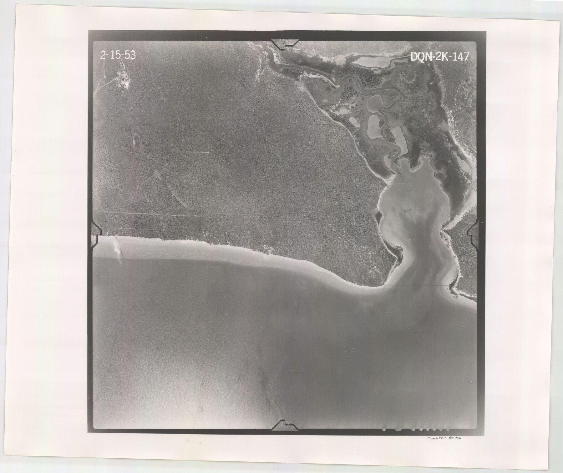
Flight Mission No. DQN-2K, Frame 147, Calhoun County
DQN-2K-147
-
Map/Doc
84316
-
Collection
General Map Collection
-
Object Dates
1953/2/15 (Creation Date)
-
People and Organizations
U. S. Department of Agriculture (Publisher)
-
Counties
Calhoun
-
Subjects
Aerial Photograph
-
Height x Width
19.0 x 22.6 inches
48.3 x 57.4 cm
-
Comments
Flown by Aero Exploration Company of Tulsa, Oklahoma.
Part of: General Map Collection
Gray County Boundary File 3

Print $40.00
- Digital $50.00
Gray County Boundary File 3
Size 14.2 x 8.8 inches
Map/Doc 53854
Andrews County Working Sketch 32

Print $20.00
- Digital $50.00
Andrews County Working Sketch 32
1990
Size 29.6 x 31.5 inches
Map/Doc 67078
Gillespie County Working Sketch 10

Print $20.00
- Digital $50.00
Gillespie County Working Sketch 10
1994
Size 45.0 x 35.1 inches
Map/Doc 63173
Brewster County Working Sketch 53

Print $20.00
- Digital $50.00
Brewster County Working Sketch 53
1951
Size 32.1 x 16.5 inches
Map/Doc 67587
Cottle County Sketch File 11

Print $40.00
- Digital $50.00
Cottle County Sketch File 11
Size 12.9 x 13.3 inches
Map/Doc 19489
Brazoria County Working Sketch 31

Print $20.00
- Digital $50.00
Brazoria County Working Sketch 31
1977
Size 26.3 x 31.7 inches
Map/Doc 67516
Crane County Working Sketch 9

Print $20.00
- Digital $50.00
Crane County Working Sketch 9
1937
Size 47.6 x 42.8 inches
Map/Doc 68286
Kimble County Boundary File 2

Print $26.00
- Digital $50.00
Kimble County Boundary File 2
Size 9.6 x 6.2 inches
Map/Doc 64833
Terrell County Working Sketch 75

Print $20.00
- Digital $50.00
Terrell County Working Sketch 75
1982
Size 41.4 x 43.7 inches
Map/Doc 69596
Flight Mission No. BRE-1P, Frame 32, Nueces County

Print $20.00
- Digital $50.00
Flight Mission No. BRE-1P, Frame 32, Nueces County
1956
Size 18.4 x 22.6 inches
Map/Doc 86628
Maps & Lists Showing Prison Lands (Oil & Gas) Leased as of June 1955

Print $2.00
- Digital $50.00
Maps & Lists Showing Prison Lands (Oil & Gas) Leased as of June 1955
1955
Size 11.2 x 8.8 inches
Map/Doc 62863
Hale County Boundary File 3

Print $40.00
- Digital $50.00
Hale County Boundary File 3
Size 31.4 x 41.5 inches
Map/Doc 54046
You may also like
Brewster County Sketch File N-16

Print $16.00
- Digital $50.00
Brewster County Sketch File N-16
1922
Size 6.2 x 8.7 inches
Map/Doc 15643
Lavaca County Sketch File 7

Print $4.00
- Digital $50.00
Lavaca County Sketch File 7
1873
Size 7.9 x 9.8 inches
Map/Doc 29642
Flight Mission No. DQN-6K, Frame 89, Calhoun County

Print $20.00
- Digital $50.00
Flight Mission No. DQN-6K, Frame 89, Calhoun County
1953
Size 18.5 x 22.2 inches
Map/Doc 84449
[Texas Gulf Coast]
![72677, [Texas Gulf Coast], General Map Collection](https://historictexasmaps.com/wmedia_w700/maps/72677.tif.jpg)
Print $20.00
- Digital $50.00
[Texas Gulf Coast]
Size 27.3 x 18.2 inches
Map/Doc 72677
Presidio County Working Sketch 93

Print $20.00
- Digital $50.00
Presidio County Working Sketch 93
1976
Size 27.7 x 27.3 inches
Map/Doc 71770
Sutton County Sketch File 46

Print $4.00
- Digital $50.00
Sutton County Sketch File 46
1939
Size 11.3 x 8.8 inches
Map/Doc 37517
[Surveying Sketch of Heirs of Wm Neil, J.J. Hall, Robert Sikes, et al in Hutchinson County, Texas]
![75778, [Surveying Sketch of Heirs of Wm Neil, J.J. Hall, Robert Sikes, et al in Hutchinson County, Texas], Maddox Collection](https://historictexasmaps.com/wmedia_w700/maps/75778-1.tif.jpg)
Print $20.00
- Digital $50.00
[Surveying Sketch of Heirs of Wm Neil, J.J. Hall, Robert Sikes, et al in Hutchinson County, Texas]
Size 15.6 x 20.5 inches
Map/Doc 75778
Galveston County Sketch File 64

Print $44.00
- Digital $50.00
Galveston County Sketch File 64
1984
Size 31.5 x 25.5 inches
Map/Doc 11542
Galveston County NRC Article 33.136 Sketch 38

Print $28.00
- Digital $50.00
Galveston County NRC Article 33.136 Sketch 38
2006
Size 24.4 x 18.6 inches
Map/Doc 83079
Brazoria County NRC Article 33.136 Sketch 6

Print $22.00
- Digital $50.00
Brazoria County NRC Article 33.136 Sketch 6
2004
Size 24.6 x 35.2 inches
Map/Doc 82904
Dickens County Sketch File GW2

Print $8.00
- Digital $50.00
Dickens County Sketch File GW2
Size 14.4 x 9.0 inches
Map/Doc 20938
Flight Mission No. CRC-2R, Frame 193, Chambers County

Print $20.00
- Digital $50.00
Flight Mission No. CRC-2R, Frame 193, Chambers County
1956
Size 18.9 x 22.5 inches
Map/Doc 84771