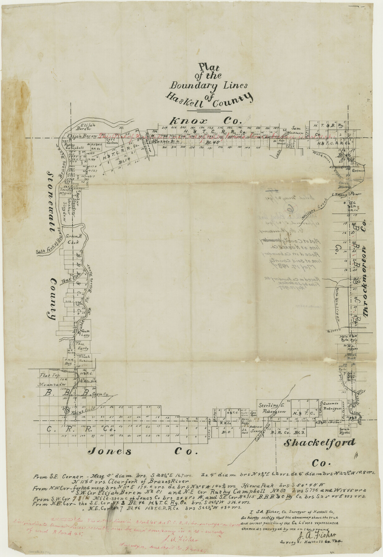
Haskell County Boundary File 4b
-
Map/Doc
54576
-
Collection
General Map Collection
-
Counties
Haskell
-
Subjects
County Boundaries
-
Height x Width
28.6 x 19.7 inches
72.6 x 50.0 cm
Part of: General Map Collection
Brewster County Rolled Sketch 24E

Print $20.00
- Digital $50.00
Brewster County Rolled Sketch 24E
1906
Size 15.2 x 18.1 inches
Map/Doc 5212
Red River County Working Sketch 62

Print $20.00
- Digital $50.00
Red River County Working Sketch 62
1973
Size 27.1 x 40.0 inches
Map/Doc 72045
Trinity River, Levee Improvement Districts, Widths of Floodways

Print $20.00
- Digital $50.00
Trinity River, Levee Improvement Districts, Widths of Floodways
1923
Size 37.6 x 28.2 inches
Map/Doc 65253
No. 2 Chart of Corpus Christi Pass, Texas

Print $20.00
- Digital $50.00
No. 2 Chart of Corpus Christi Pass, Texas
1878
Size 18.3 x 27.3 inches
Map/Doc 73014
Rusk County Working Sketch 38

Print $20.00
- Digital $50.00
Rusk County Working Sketch 38
2008
Size 16.3 x 23.3 inches
Map/Doc 88815
Flight Mission No. CUG-1P, Frame 72, Kleberg County

Print $20.00
- Digital $50.00
Flight Mission No. CUG-1P, Frame 72, Kleberg County
1956
Size 18.6 x 22.1 inches
Map/Doc 86137
Pecos County Working Sketch 39

Print $20.00
- Digital $50.00
Pecos County Working Sketch 39
1940
Size 37.5 x 37.6 inches
Map/Doc 71511
Denton County Rolled Sketch 8

Print $20.00
- Digital $50.00
Denton County Rolled Sketch 8
2007
Size 24.5 x 18.2 inches
Map/Doc 88762
Crockett County Working Sketch 17

Print $20.00
- Digital $50.00
Crockett County Working Sketch 17
1918
Size 17.9 x 24.6 inches
Map/Doc 68350

Crockett County Working Sketch 58

Print $40.00
- Digital $50.00
Crockett County Working Sketch 58
1954
Size 24.3 x 54.4 inches
Map/Doc 68391
Dawson County Sketch File 16

Print $14.00
- Digital $50.00
Dawson County Sketch File 16
Size 13.4 x 8.8 inches
Map/Doc 20551
You may also like
Sketch of Block B, GH & H RR & Blk C, CT RR Co, with surrounding & conflicting surveys in Knox & Baylor Counties

Print $20.00
- Digital $50.00
Sketch of Block B, GH & H RR & Blk C, CT RR Co, with surrounding & conflicting surveys in Knox & Baylor Counties
Size 24.9 x 17.9 inches
Map/Doc 75784
Calhoun County Sketch File 6

Print $34.00
- Digital $50.00
Calhoun County Sketch File 6
1942
Size 9.3 x 9.0 inches
Map/Doc 35908
Dietzgen Globe Wooden 24" T Square

Dietzgen Globe Wooden 24" T Square
Size 26.0 x 9.3 inches
Map/Doc 97324
North Part of Brewster Co.

Print $40.00
- Digital $50.00
North Part of Brewster Co.
1914
Size 49.3 x 40.5 inches
Map/Doc 89724
Moore County Working Sketch 4

Print $20.00
- Digital $50.00
Moore County Working Sketch 4
1911
Size 20.1 x 15.6 inches
Map/Doc 71186
Duval County Sketch File 51

Print $20.00
- Digital $50.00
Duval County Sketch File 51
Size 19.1 x 33.8 inches
Map/Doc 11401
County and Railroad Map of Texas

Print $20.00
- Digital $50.00
County and Railroad Map of Texas
1876
Size 17.0 x 16.0 inches
Map/Doc 93623
Erath County Rolled Sketch 4

Print $20.00
- Digital $50.00
Erath County Rolled Sketch 4
Size 29.1 x 40.9 inches
Map/Doc 5866
Hale County Sketch File 12

Print $20.00
- Digital $50.00
Hale County Sketch File 12
Size 46.0 x 38.2 inches
Map/Doc 10469
Houston, Texas (Looking South)

Print $20.00
Houston, Texas (Looking South)
1891
Size 25.3 x 41.1 inches
Map/Doc 89094
King County Boundary File 6

Print $16.00
- Digital $50.00
King County Boundary File 6
Size 9.2 x 6.6 inches
Map/Doc 64927
South Sulphur River, Klondike Sheet

Print $20.00
- Digital $50.00
South Sulphur River, Klondike Sheet
1925
Size 18.2 x 19.9 inches
Map/Doc 78332