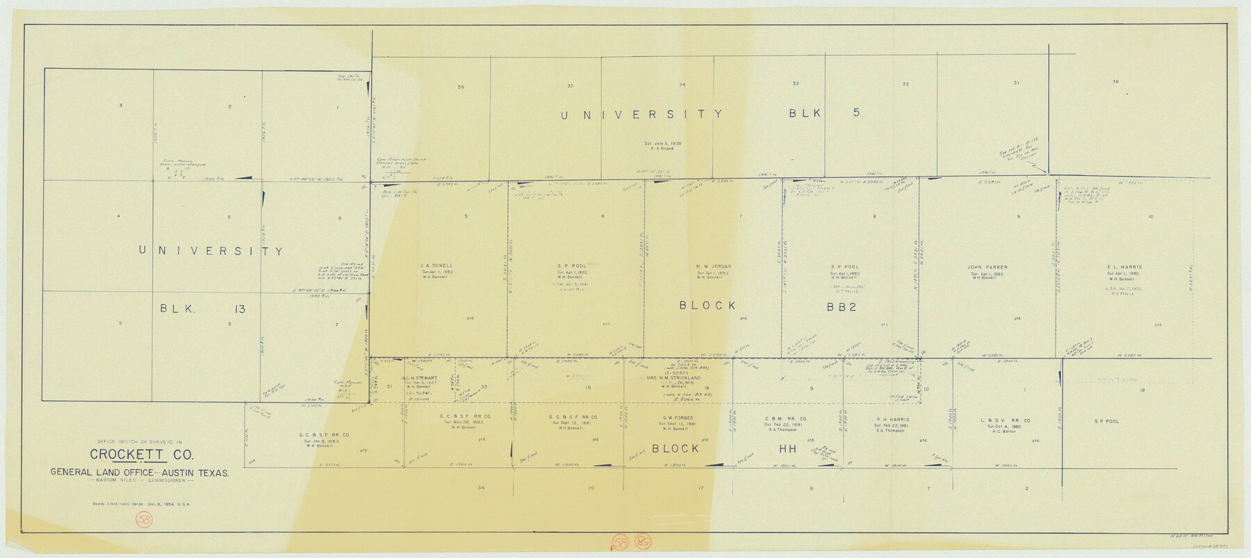
Crockett County Working Sketch 58
-
Map/Doc
68391
-
Collection
General Map Collection
-
Object Dates
12/6/1954 (Creation Date)
-
People and Organizations
Otto G. Kurio (Draftsman)
-
Counties
Crockett
-
Subjects
Surveying Working Sketch
-
Height x Width
24.3 x 54.4 inches
61.7 x 138.2 cm
-
Scale
1" = 400 varas
Part of: General Map Collection
Bailey County Rolled Sketch R and C

Print $51.00
- Digital $50.00
Bailey County Rolled Sketch R and C
1913
Size 10.1 x 16.0 inches
Map/Doc 42350
Flight Mission No. BRA-16M, Frame 170, Jefferson County

Print $20.00
- Digital $50.00
Flight Mission No. BRA-16M, Frame 170, Jefferson County
1953
Size 18.6 x 22.4 inches
Map/Doc 85768
Bastrop County Sketch File 1a

Print $4.00
- Digital $50.00
Bastrop County Sketch File 1a
Size 8.4 x 12.8 inches
Map/Doc 14040
Flight Mission No. BQY-4M, Frame 63, Harris County

Print $20.00
- Digital $50.00
Flight Mission No. BQY-4M, Frame 63, Harris County
1953
Size 18.7 x 22.4 inches
Map/Doc 85272
Red River County Sketch File A

Print $40.00
- Digital $50.00
Red River County Sketch File A
1900
Size 20.1 x 23.8 inches
Map/Doc 12236
Austin County Working Sketch 2

Print $20.00
- Digital $50.00
Austin County Working Sketch 2
1944
Size 23.3 x 27.0 inches
Map/Doc 67243
Aransas County Rolled Sketch 2

Print $40.00
- Digital $50.00
Aransas County Rolled Sketch 2
1950
Size 42.5 x 48.6 inches
Map/Doc 73611
Liberty County Sketch File 61

Print $12.00
- Digital $50.00
Liberty County Sketch File 61
1950
Size 14.2 x 8.8 inches
Map/Doc 30077
Val Verde County Working Sketch 105

Print $20.00
- Digital $50.00
Val Verde County Working Sketch 105
1983
Size 39.8 x 43.0 inches
Map/Doc 72240
Kimble County Rolled Sketch 32

Print $20.00
- Digital $50.00
Kimble County Rolled Sketch 32
1973
Size 23.1 x 19.6 inches
Map/Doc 6522
[Surveys between the Lavaca River and Arenosa Creek]
![3184, [Surveys between the Lavaca River and Arenosa Creek], General Map Collection](https://historictexasmaps.com/wmedia_w700/maps/3184.tif.jpg)
Print $20.00
- Digital $50.00
[Surveys between the Lavaca River and Arenosa Creek]
1840
Size 25.6 x 18.9 inches
Map/Doc 3184
Aransas County Rolled Sketch 19

Print $20.00
- Digital $50.00
Aransas County Rolled Sketch 19
1979
Size 24.8 x 36.7 inches
Map/Doc 82559
You may also like
Coast Chart No. 105 - Galveston Bay to Oyster Bay, Texas

Print $20.00
- Digital $50.00
Coast Chart No. 105 - Galveston Bay to Oyster Bay, Texas
1884
Size 24.1 x 29.6 inches
Map/Doc 69926
Gaines County Working Sketch 8

Print $20.00
- Digital $50.00
Gaines County Working Sketch 8
1951
Size 21.8 x 24.8 inches
Map/Doc 69308
Erath County Working Sketch 2

Print $20.00
- Digital $50.00
Erath County Working Sketch 2
Size 18.0 x 22.6 inches
Map/Doc 69083
Kimble County Working Sketch 65

Print $20.00
- Digital $50.00
Kimble County Working Sketch 65
1964
Size 22.1 x 17.0 inches
Map/Doc 70133
Houston Ship Channel, Atkinson Island to Alexander Island

Print $40.00
- Digital $50.00
Houston Ship Channel, Atkinson Island to Alexander Island
1972
Size 36.9 x 50.0 inches
Map/Doc 69901
Maverick County Working Sketch 6

Print $40.00
- Digital $50.00
Maverick County Working Sketch 6
1944
Size 55.9 x 42.4 inches
Map/Doc 70898
Garza County Working Sketch 7

Print $20.00
- Digital $50.00
Garza County Working Sketch 7
1949
Size 26.0 x 28.2 inches
Map/Doc 63154
Crockett County Rolled Sketch 26B

Print $20.00
- Digital $50.00
Crockett County Rolled Sketch 26B
Size 33.1 x 40.1 inches
Map/Doc 8694
Flight Mission No. DAH-10M, Frame 41, Orange County

Print $20.00
- Digital $50.00
Flight Mission No. DAH-10M, Frame 41, Orange County
1953
Size 18.7 x 22.5 inches
Map/Doc 86876
Crane County Working Sketch 23

Print $20.00
- Digital $50.00
Crane County Working Sketch 23
1963
Size 25.8 x 23.2 inches
Map/Doc 68300
Upton County Working Sketch 58

Print $20.00
- Digital $50.00
Upton County Working Sketch 58
1988
Size 29.1 x 37.8 inches
Map/Doc 69555
Edwards County Sketch File ABC

Print $12.00
- Digital $50.00
Edwards County Sketch File ABC
1913
Size 14.5 x 9.1 inches
Map/Doc 21662