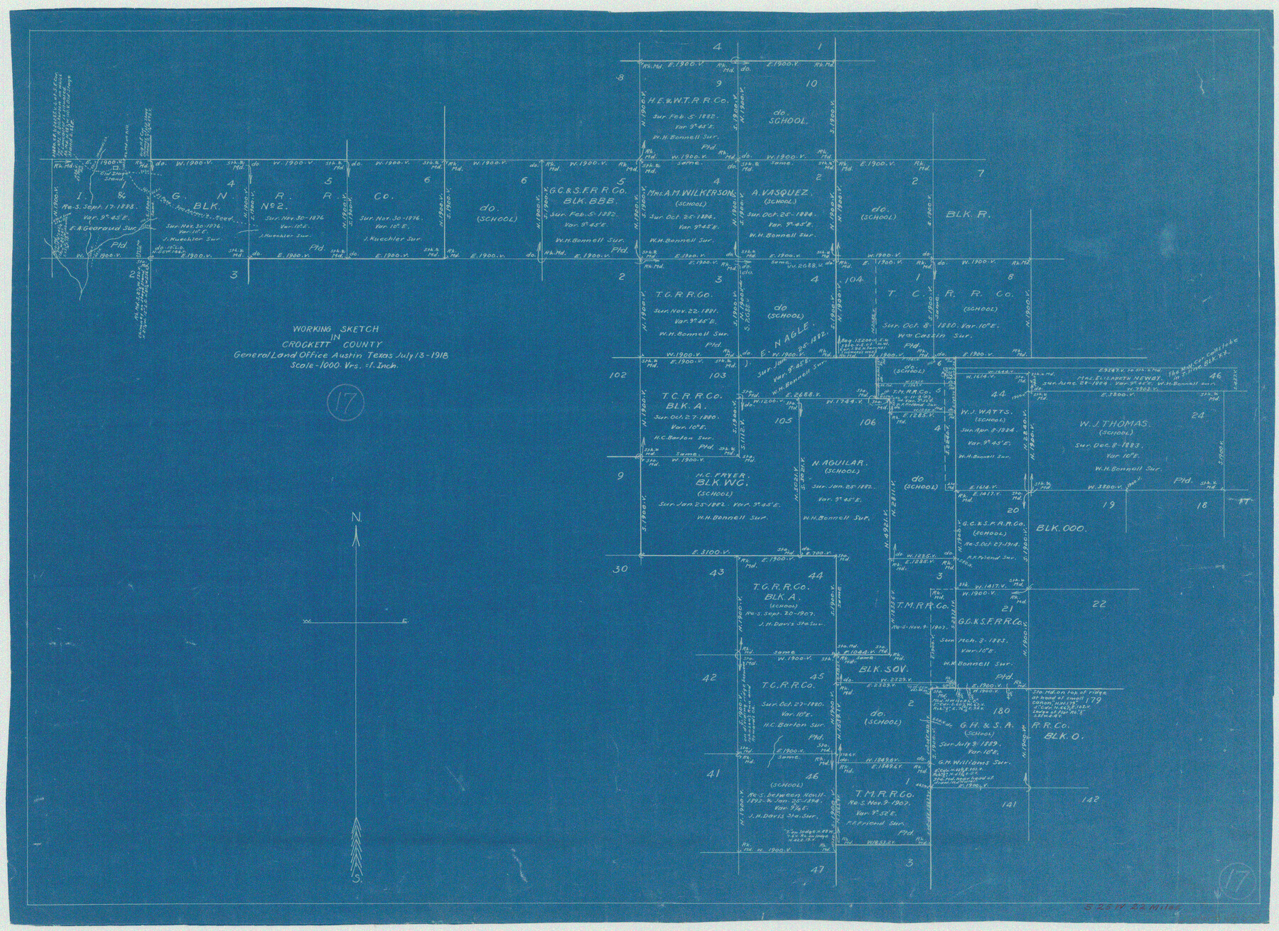
Crockett County Working Sketch 17
-
Map/Doc
68350
-
Collection
General Map Collection
-
Object Dates
7/13/1918 (Creation Date)
-
Counties
Crockett
-
Subjects
Surveying Working Sketch
-
Height x Width
17.9 x 24.6 inches
45.5 x 62.5 cm
-
Scale
1" = 1000 varas
Part of: General Map Collection
Flight Mission No. CRC-5R, Frame 42, Chambers County

Print $20.00
- Digital $50.00
Flight Mission No. CRC-5R, Frame 42, Chambers County
1956
Size 18.6 x 22.3 inches
Map/Doc 84961
Nolan County Sketch File 18

Print $8.00
- Digital $50.00
Nolan County Sketch File 18
Size 14.3 x 8.9 inches
Map/Doc 32489
Map of Lee County Texas

Print $20.00
- Digital $50.00
Map of Lee County Texas
1879
Size 26.2 x 18.0 inches
Map/Doc 4578
Sketch of surveys in Houston Co. on Pine Bayou

Print $2.00
- Digital $50.00
Sketch of surveys in Houston Co. on Pine Bayou
Size 7.7 x 7.6 inches
Map/Doc 69742
Henderson County Rolled Sketch 14

Print $20.00
- Digital $50.00
Henderson County Rolled Sketch 14
2012
Size 19.3 x 32.3 inches
Map/Doc 95715
Mason County Sketch File 12

Print $22.00
- Digital $50.00
Mason County Sketch File 12
Size 15.8 x 12.9 inches
Map/Doc 30699
Carson County Boundary File 3

Print $2.00
- Digital $50.00
Carson County Boundary File 3
Size 13.3 x 8.3 inches
Map/Doc 51131
Township 11 North Range 16 West, South Western District, Louisiana

Print $20.00
- Digital $50.00
Township 11 North Range 16 West, South Western District, Louisiana
1834
Size 19.7 x 24.7 inches
Map/Doc 65869
Lee County Sketch File 4

Print $4.00
- Digital $50.00
Lee County Sketch File 4
1859
Size 9.5 x 8.1 inches
Map/Doc 29682
Dimmit County Working Sketch 23

Print $20.00
- Digital $50.00
Dimmit County Working Sketch 23
1954
Size 22.5 x 23.3 inches
Map/Doc 68684
Stonewall County Working Sketch 16

Print $20.00
- Digital $50.00
Stonewall County Working Sketch 16
1954
Size 39.2 x 29.7 inches
Map/Doc 62323
Flight Mission No. DCL-6C, Frame 5, Kenedy County

Print $20.00
- Digital $50.00
Flight Mission No. DCL-6C, Frame 5, Kenedy County
1943
Size 18.4 x 22.4 inches
Map/Doc 85865
You may also like
Montague County Sketch File 15

Print $6.00
- Digital $50.00
Montague County Sketch File 15
1880
Size 11.0 x 15.1 inches
Map/Doc 31742
Blanco County Working Sketch 43

Print $20.00
- Digital $50.00
Blanco County Working Sketch 43
1993
Size 42.7 x 26.5 inches
Map/Doc 67403
Taylor County

Print $20.00
- Digital $50.00
Taylor County
1934
Size 44.4 x 38.9 inches
Map/Doc 73299
General Highway Map, Menard County, Texas

Print $20.00
General Highway Map, Menard County, Texas
1940
Size 18.5 x 24.8 inches
Map/Doc 79196
Crockett County Working Sketch 97

Print $20.00
- Digital $50.00
Crockett County Working Sketch 97
1979
Size 39.4 x 37.4 inches
Map/Doc 68430
Crane County Working Sketch 4

Print $20.00
- Digital $50.00
Crane County Working Sketch 4
Size 24.5 x 18.2 inches
Map/Doc 68281
Pecos County Rolled Sketch 119

Print $20.00
- Digital $50.00
Pecos County Rolled Sketch 119
1945
Size 20.5 x 21.5 inches
Map/Doc 7261
Wilbarger County Sketch File 7a

Print $4.00
- Digital $50.00
Wilbarger County Sketch File 7a
1885
Size 14.3 x 8.6 inches
Map/Doc 40177

Key to Photo Index Sheets of Texas Coast Portion

Print $20.00
- Digital $50.00
Key to Photo Index Sheets of Texas Coast Portion
1954
Size 20.0 x 24.0 inches
Map/Doc 83436
Aransas County Sketch File 32

Print $12.00
- Digital $50.00
Aransas County Sketch File 32
1919
Size 14.2 x 9.0 inches
Map/Doc 13297
[Yates survey 34 1/2 and vicinity]
![91690, [Yates survey 34 1/2 and vicinity], Twichell Survey Records](https://historictexasmaps.com/wmedia_w700/maps/91690-1.tif.jpg)
Print $20.00
- Digital $50.00
[Yates survey 34 1/2 and vicinity]
Size 12.6 x 17.7 inches
Map/Doc 91690