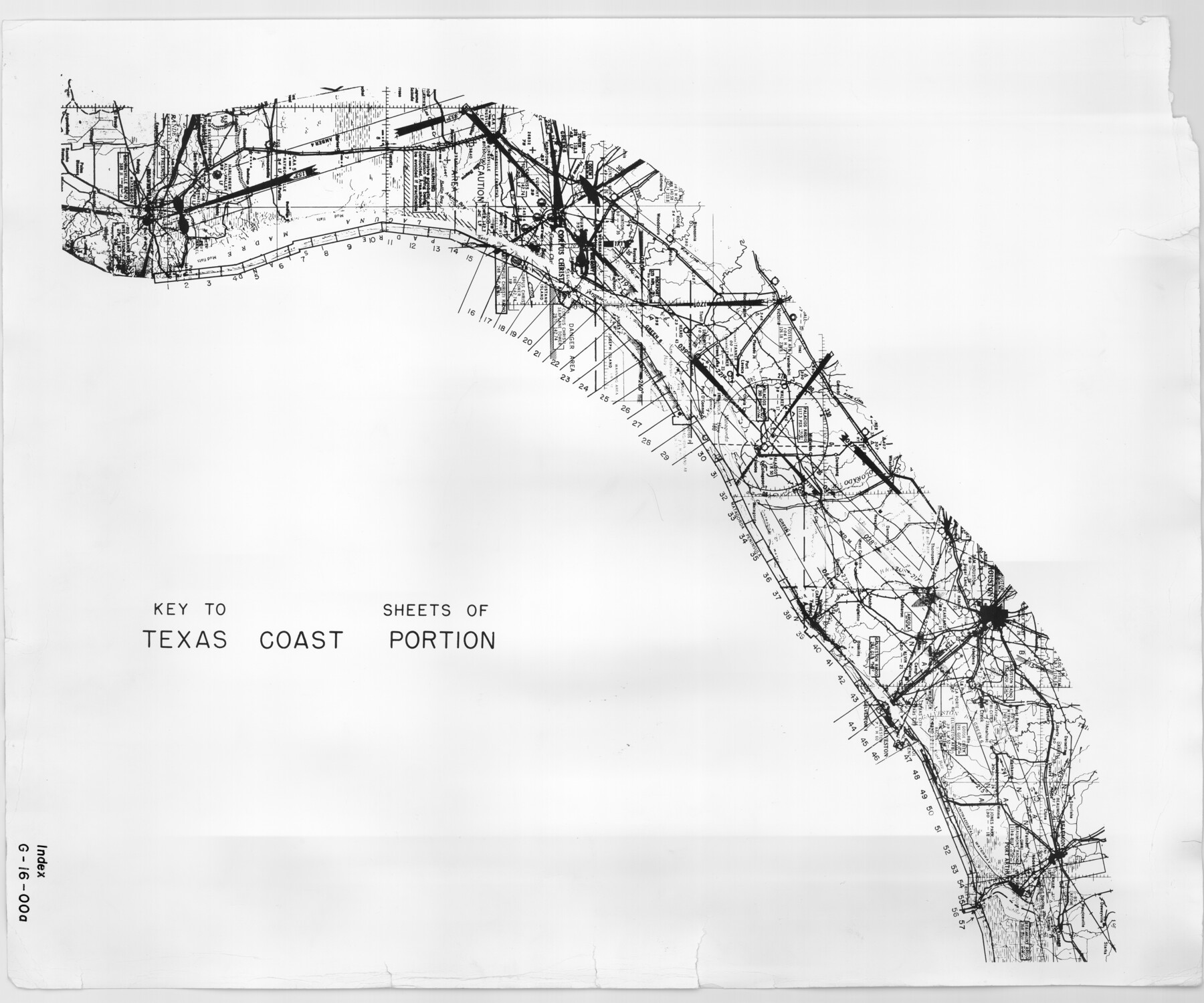
Key to Photo Index Sheets of Texas Coast Portion
Key To Sheets of Texas Coast Portion, G-16-00a
G-16-00a
-
Map/Doc
83436
-
Collection
General Map Collection
-
Object Dates
1954 (Creation Date)
-
Subjects
Aerial Photograph Gulf of Mexico Nautical Charts
-
Height x Width
20.0 x 24.0 inches
50.8 x 61.0 cm
Part of: General Map Collection

Edwards County Working Sketch 52

Print $20.00
- Digital $50.00
Edwards County Working Sketch 52
1950
Size 46.8 x 34.1 inches
Map/Doc 68928
Scurry County Rolled Sketch 11

Print $20.00
- Digital $50.00
Scurry County Rolled Sketch 11
Size 20.2 x 16.8 inches
Map/Doc 7771
Map of Brazos County, Texas

Print $40.00
- Digital $50.00
Map of Brazos County, Texas
1926
Size 89.6 x 55.1 inches
Map/Doc 93648
Hutchinson County Rolled Sketch 27

Print $53.00
- Digital $50.00
Hutchinson County Rolled Sketch 27
1920
Size 33.3 x 27.1 inches
Map/Doc 6289
Motley County Working Sketch 9

Print $20.00
- Digital $50.00
Motley County Working Sketch 9
1984
Size 32.6 x 28.9 inches
Map/Doc 71214
Crockett County Rolled Sketch 26B

Print $20.00
- Digital $50.00
Crockett County Rolled Sketch 26B
Size 33.1 x 40.1 inches
Map/Doc 8694
[Surveys along the Nueces River, San Patricio District]
![69739, [Surveys along the Nueces River, San Patricio District], General Map Collection](https://historictexasmaps.com/wmedia_w700/maps/69739.tif.jpg)
Print $2.00
- Digital $50.00
[Surveys along the Nueces River, San Patricio District]
1842
Size 11.3 x 7.7 inches
Map/Doc 69739
Right of Way and Track Map of The Missouri, Kansas & Texas Railway of Texas

Print $40.00
- Digital $50.00
Right of Way and Track Map of The Missouri, Kansas & Texas Railway of Texas
1918
Size 25.2 x 106.9 inches
Map/Doc 64531
Stephens County Boundary File 4

Print $6.00
- Digital $50.00
Stephens County Boundary File 4
Size 14.3 x 8.8 inches
Map/Doc 58894
Moore County Working Sketch 12

Print $20.00
- Digital $50.00
Moore County Working Sketch 12
1952
Size 33.1 x 28.4 inches
Map/Doc 71194
Concho County Sketch File 47

Print $20.00
- Digital $50.00
Concho County Sketch File 47
1950
Size 16.8 x 21.0 inches
Map/Doc 11165
You may also like

Flight Mission No. CUI-1H, Frame 95, Milam County

Print $20.00
- Digital $50.00
Flight Mission No. CUI-1H, Frame 95, Milam County
1951
Size 18.4 x 22.2 inches
Map/Doc 86603
Dinsmore & Company's New and Complete Map of the Railway System of the United States and Canada compiled from official sources, under the direction of the editor of the "American Railway Guide"

Print $20.00
- Digital $50.00
Dinsmore & Company's New and Complete Map of the Railway System of the United States and Canada compiled from official sources, under the direction of the editor of the "American Railway Guide"
1855
Size 16.3 x 20.4 inches
Map/Doc 95903
Goliad County Sketch File X

Print $10.00
- Digital $50.00
Goliad County Sketch File X
1893
Size 8.3 x 12.8 inches
Map/Doc 24332
Jefferson County Rolled Sketch 62

Print $40.00
- Digital $50.00
Jefferson County Rolled Sketch 62
1974
Size 78.4 x 43.1 inches
Map/Doc 9318
Flight Mission No. DQO-3K, Frame 29, Galveston County

Print $20.00
- Digital $50.00
Flight Mission No. DQO-3K, Frame 29, Galveston County
1952
Size 18.8 x 22.4 inches
Map/Doc 85070
Palo Pinto County Sketch File 25a

Print $6.00
- Digital $50.00
Palo Pinto County Sketch File 25a
Size 11.0 x 11.4 inches
Map/Doc 33417
J. De Cordova's Map of the State of Texas Compiled from the records of the General Land Office of the State

Print $20.00
- Digital $50.00
J. De Cordova's Map of the State of Texas Compiled from the records of the General Land Office of the State
1849
Size 36.0 x 34.0 inches
Map/Doc 93930
Galveston County NRC Article 33.136 Sketch 45

Print $21.00
- Digital $50.00
Galveston County NRC Article 33.136 Sketch 45
2007
Size 18.7 x 23.4 inches
Map/Doc 87365
Map Showing Proposed System of State Highways as Adopted June 1917

Print $20.00
Map Showing Proposed System of State Highways as Adopted June 1917
1917
Size 20.9 x 22.4 inches
Map/Doc 76294
Presidio County Working Sketch 31

Print $20.00
- Digital $50.00
Presidio County Working Sketch 31
1946
Size 25.2 x 26.3 inches
Map/Doc 71708
Real County Working Sketch 77

Print $20.00
- Digital $50.00
Real County Working Sketch 77
1980
Size 33.1 x 33.3 inches
Map/Doc 71969