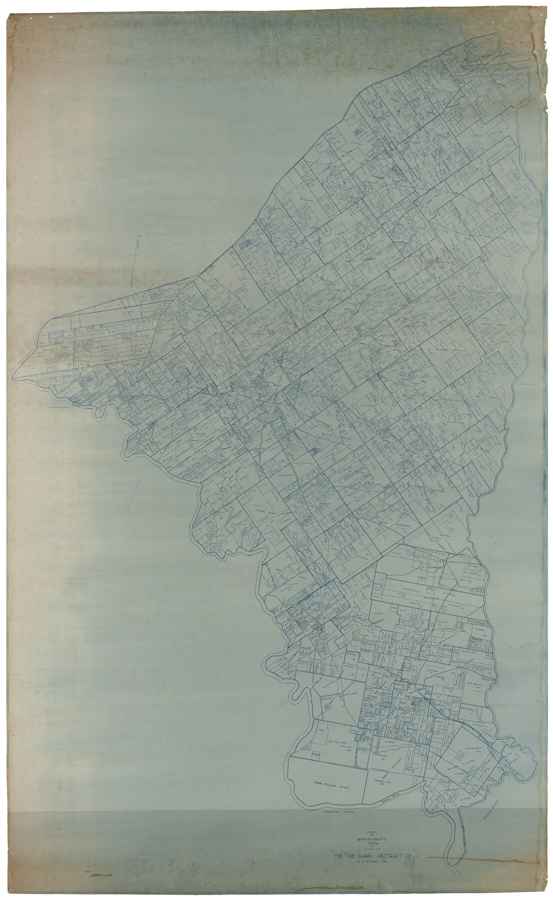
Map of Brazos County, Texas
-
Map/Doc
93648
-
Collection
General Map Collection
-
Object Dates
1926 (Creation Date)
2014/1/13 (File Date)
-
People and Organizations
The McSwain Abstract Co. (Publisher)
-
Counties
Brazos
-
Subjects
County
-
Height x Width
89.6 x 55.1 inches
227.6 x 140.0 cm
-
Medium
digital image
-
Scale
1000 varas
Part of: General Map Collection
Flight Mission No. BQY-15M, Frame 13, Harris County

Print $20.00
- Digital $50.00
Flight Mission No. BQY-15M, Frame 13, Harris County
1953
Size 18.8 x 22.5 inches
Map/Doc 85311
Copy of Surveyor's Field Book, Morris Browning - In Blocks 7, 5 & 4, I&GNRRCo., Hutchinson and Carson Counties, Texas

Print $2.00
- Digital $50.00
Copy of Surveyor's Field Book, Morris Browning - In Blocks 7, 5 & 4, I&GNRRCo., Hutchinson and Carson Counties, Texas
1888
Size 6.9 x 8.8 inches
Map/Doc 62281
Presidio County Sketch File R1

Print $12.00
- Digital $50.00
Presidio County Sketch File R1
1927
Size 11.3 x 8.7 inches
Map/Doc 34599
Harris County Working Sketch 37

Print $20.00
- Digital $50.00
Harris County Working Sketch 37
1938
Size 25.4 x 28.0 inches
Map/Doc 65929
[Surveys in Austin's Colony along the San Antonio Road and the Navasota River]
![202, [Surveys in Austin's Colony along the San Antonio Road and the Navasota River], General Map Collection](https://historictexasmaps.com/wmedia_w700/maps/202.tif.jpg)
Print $20.00
- Digital $50.00
[Surveys in Austin's Colony along the San Antonio Road and the Navasota River]
1833
Size 16.1 x 34.7 inches
Map/Doc 202
Flight Mission No. BQR-13K, Frame 21, Brazoria County

Print $20.00
- Digital $50.00
Flight Mission No. BQR-13K, Frame 21, Brazoria County
1952
Size 18.8 x 22.4 inches
Map/Doc 84069
Kinney County Sketch File 30

Print $10.00
- Digital $50.00
Kinney County Sketch File 30
1933
Size 11.3 x 8.7 inches
Map/Doc 29171
McMullen County Working Sketch 34

Print $20.00
- Digital $50.00
McMullen County Working Sketch 34
1959
Size 25.9 x 26.0 inches
Map/Doc 70735
Frio County Sketch File A

Print $40.00
- Digital $50.00
Frio County Sketch File A
1878
Size 16.4 x 13.4 inches
Map/Doc 23099
Right of Way and Track Map, the Missouri, Kansas and Texas Ry. of Texas operated by the Missouri, Kansas and Texas Ry. of Texas, San Antonio Division

Print $40.00
- Digital $50.00
Right of Way and Track Map, the Missouri, Kansas and Texas Ry. of Texas operated by the Missouri, Kansas and Texas Ry. of Texas, San Antonio Division
1918
Size 25.6 x 57.8 inches
Map/Doc 64582
Stephens County Texas

Print $20.00
- Digital $50.00
Stephens County Texas
Size 20.8 x 18.6 inches
Map/Doc 4627
Cherokee County Sketch File 18

Print $4.00
- Digital $50.00
Cherokee County Sketch File 18
1870
Size 10.2 x 8.1 inches
Map/Doc 18159
You may also like
Andrews County Working Sketch 18

Print $20.00
- Digital $50.00
Andrews County Working Sketch 18
1964
Size 42.2 x 26.5 inches
Map/Doc 67064
McMullen County Working Sketch 59

Print $20.00
- Digital $50.00
McMullen County Working Sketch 59
1984
Size 24.0 x 27.7 inches
Map/Doc 70760
Letter from Jesse Grimes Suggesting a Redefinition of the Boundary Between Harris and Montgomery Counties, April 30, 1838

Print $20.00
Letter from Jesse Grimes Suggesting a Redefinition of the Boundary Between Harris and Montgomery Counties, April 30, 1838
2020
Size 15.4 x 21.7 inches
Map/Doc 96381
Flight Mission No. BQY-4M, Frame 126, Harris County

Print $20.00
- Digital $50.00
Flight Mission No. BQY-4M, Frame 126, Harris County
1953
Size 18.5 x 22.2 inches
Map/Doc 85295
Nueces County Rolled Sketch 51A

Print $20.00
- Digital $50.00
Nueces County Rolled Sketch 51A
1978
Size 27.6 x 39.1 inches
Map/Doc 6890
Chambers County Working Sketch 5

Print $20.00
- Digital $50.00
Chambers County Working Sketch 5
1938
Size 20.9 x 31.6 inches
Map/Doc 67988
Wayside Notes East Bound Along Sunset Route

Wayside Notes East Bound Along Sunset Route
1915
Map/Doc 96718
El Paso County Sketch File 4

Print $20.00
- Digital $50.00
El Paso County Sketch File 4
1885
Size 17.1 x 28.3 inches
Map/Doc 11449
Martin County Working Sketch 10

Print $40.00
- Digital $50.00
Martin County Working Sketch 10
1971
Size 50.0 x 37.4 inches
Map/Doc 70828
Lipscomb County Boundary File 4

Print $14.00
- Digital $50.00
Lipscomb County Boundary File 4
Size 11.1 x 8.6 inches
Map/Doc 56320
United States Including California, Texas, and c.

Print $20.00
United States Including California, Texas, and c.
1861
Size 21.4 x 25.7 inches
Map/Doc 76238
Shelby County Working Sketch 27

Print $20.00
- Digital $50.00
Shelby County Working Sketch 27
1995
Size 32.8 x 39.9 inches
Map/Doc 63881