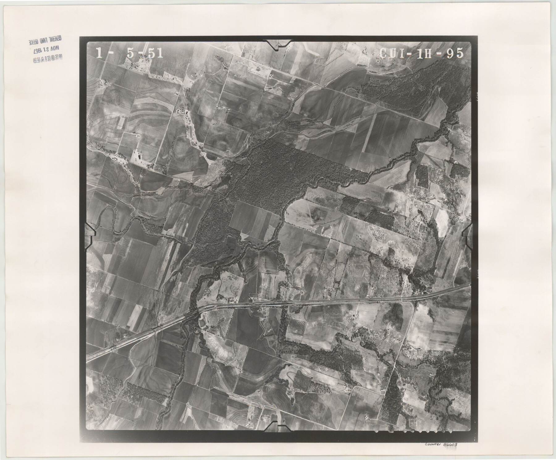
Flight Mission No. CUI-1H, Frame 95, Milam County
CUI-1H-95
-
Map/Doc
86603
-
Collection
General Map Collection
-
Object Dates
1951/1/5 (Creation Date)
-
People and Organizations
U. S. Department of Agriculture (Publisher)
-
Counties
Milam
-
Subjects
Aerial Photograph
-
Height x Width
18.4 x 22.2 inches
46.7 x 56.4 cm
-
Comments
Flown by Robinson Aerial Surveys, Inc. of Newark 7 , New Jersey.
Part of: General Map Collection
Navarro County Sketch File 9

Print $2.00
- Digital $50.00
Navarro County Sketch File 9
Size 8.3 x 9.1 inches
Map/Doc 32317
Hemphill County Working Sketch 19

Print $20.00
- Digital $50.00
Hemphill County Working Sketch 19
1972
Size 35.8 x 42.6 inches
Map/Doc 66114
Montague County Working Sketch 35

Print $20.00
- Digital $50.00
Montague County Working Sketch 35
1980
Size 24.8 x 31.9 inches
Map/Doc 71101
Wichita County Working Sketch 12b

Print $20.00
- Digital $50.00
Wichita County Working Sketch 12b
1920
Size 21.2 x 14.9 inches
Map/Doc 72522
Harris County NRC Article 33.136 Sketch 4

Print $22.00
- Digital $50.00
Harris County NRC Article 33.136 Sketch 4
2001
Size 36.1 x 24.3 inches
Map/Doc 61600
McCulloch County Working Sketch 1

Print $20.00
- Digital $50.00
McCulloch County Working Sketch 1
1944
Size 29.8 x 29.9 inches
Map/Doc 70676
Gregg County Working Sketch 3

Print $20.00
- Digital $50.00
Gregg County Working Sketch 3
1931
Size 18.6 x 14.2 inches
Map/Doc 63269
Yoakum County Sketch File 15

Print $22.00
- Digital $50.00
Yoakum County Sketch File 15
1938
Size 18.0 x 8.8 inches
Map/Doc 40793
Cooke County Boundary File 1

Print $4.00
- Digital $50.00
Cooke County Boundary File 1
Size 12.6 x 7.5 inches
Map/Doc 51826
Current Miscellaneous File 13

Print $20.00
- Digital $50.00
Current Miscellaneous File 13
Size 16.2 x 21.6 inches
Map/Doc 73820
PSL Field Notes for Block 54 1/2 in Culberson and Hudspeth Counties, and Blocks 44, 45 1/2, 46, 47 1/2, 48, 49, 50, 51, 52 1/2, 53 1/2, 55 1/2, 56, and 57 in Hudspeth County

PSL Field Notes for Block 54 1/2 in Culberson and Hudspeth Counties, and Blocks 44, 45 1/2, 46, 47 1/2, 48, 49, 50, 51, 52 1/2, 53 1/2, 55 1/2, 56, and 57 in Hudspeth County
Map/Doc 81661
Stephens County Working Sketch 34

Print $20.00
- Digital $50.00
Stephens County Working Sketch 34
1978
Size 33.5 x 28.3 inches
Map/Doc 63977
You may also like
Bandera County Working Sketch 27

Print $20.00
- Digital $50.00
Bandera County Working Sketch 27
1950
Size 15.0 x 17.1 inches
Map/Doc 67623
San Augustine and Sabine Counties

Print $20.00
- Digital $50.00
San Augustine and Sabine Counties
1881
Size 23.7 x 26.3 inches
Map/Doc 4012
Working Sketch in McMullen County

Print $3.00
- Digital $50.00
Working Sketch in McMullen County
1883
Size 11.7 x 12.1 inches
Map/Doc 576
Galveston County NRC Article 33.136 Sketch 4

Print $406.00
- Digital $50.00
Galveston County NRC Article 33.136 Sketch 4
2001
Size 22.7 x 34.1 inches
Map/Doc 61568
Flight Mission No. DAG-18K, Frame 179, Matagorda County

Print $20.00
- Digital $50.00
Flight Mission No. DAG-18K, Frame 179, Matagorda County
1952
Size 16.2 x 16.0 inches
Map/Doc 86371
Red River County Working Sketch 40

Print $20.00
- Digital $50.00
Red River County Working Sketch 40
1967
Size 40.1 x 35.9 inches
Map/Doc 72023
Jeff Davis County Sketch File 6

Print $20.00
- Digital $50.00
Jeff Davis County Sketch File 6
Size 33.0 x 30.2 inches
Map/Doc 10506
Glasscock County Working Sketch 4

Print $20.00
- Digital $50.00
Glasscock County Working Sketch 4
Size 15.7 x 25.9 inches
Map/Doc 63177
Harris County Working Sketch 12

Print $20.00
- Digital $50.00
Harris County Working Sketch 12
1913
Size 17.7 x 21.3 inches
Map/Doc 65904
Location Survey of the Southern Kansas Railway, Kiowa Extension from a point in Drake's Location, in Indian Territory 100 miles from south line of Kansas, continuing up Wolf Creek and South Canadian River to Cottonwood Creek in Hutchinson County

Print $40.00
- Digital $50.00
Location Survey of the Southern Kansas Railway, Kiowa Extension from a point in Drake's Location, in Indian Territory 100 miles from south line of Kansas, continuing up Wolf Creek and South Canadian River to Cottonwood Creek in Hutchinson County
1886
Size 37.5 x 282.7 inches
Map/Doc 88837
Comal County Sketch File 8 1/2

Print $22.00
- Digital $50.00
Comal County Sketch File 8 1/2
1858
Size 9.2 x 7.4 inches
Map/Doc 19015
Flight Mission No. BRA-9M, Frame 62, Jefferson County

Print $20.00
- Digital $50.00
Flight Mission No. BRA-9M, Frame 62, Jefferson County
1953
Size 18.7 x 22.3 inches
Map/Doc 85645