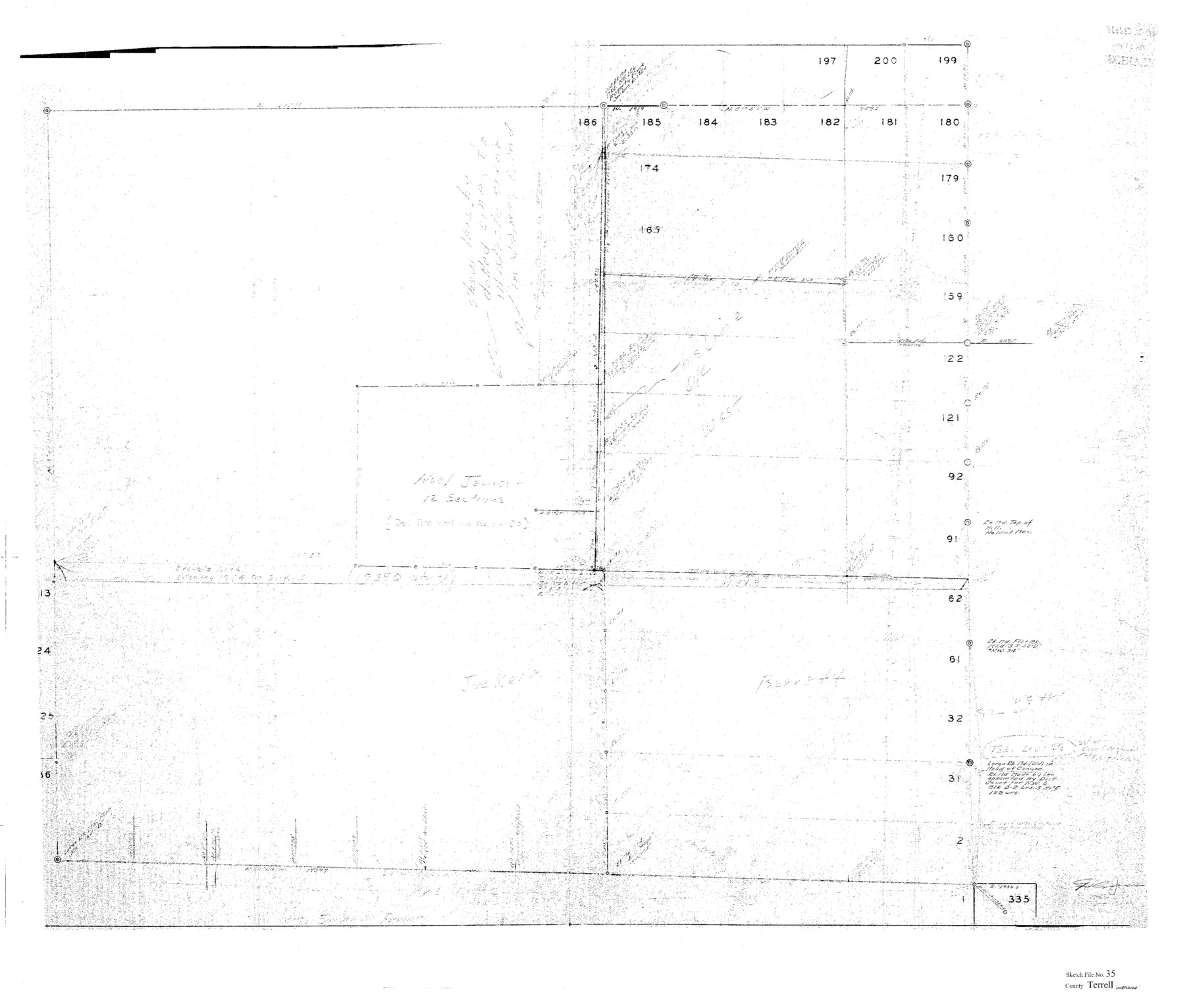
Terrell County Sketch File 35
[Sketch, correspondence, and report of work done in Block D, M. K. & T. Ry. Co.]
-
Map/Doc
10389
-
Collection
General Map Collection
-
Object Dates
1957 (Creation Date)
7/21/1967 (File Date)
9/4/1957 (Correspondence Date)
9/16/1957 (Correspondence Date)
-
People and Organizations
H. Conger Jones (Surveyor/Engineer)
-
Counties
Terrell
-
Subjects
Surveying Sketch File
-
Height x Width
32.0 x 37.6 inches
81.3 x 95.5 cm
-
Medium
multi-page, multi-format
-
Comments
See Terrell County Rolled Sketch 51A (7968) & 51B (7969) for related sketches.
-
Features
W. E. West Ranch
Noell James Ranch
James Ranch
Landon Rose Ranch
Related maps
Terrell County Rolled Sketch 51A

Print $20.00
- Digital $50.00
Terrell County Rolled Sketch 51A
1957
Size 29.1 x 20.6 inches
Map/Doc 7968
Terrell County Rolled Sketch 51B

Print $20.00
- Digital $50.00
Terrell County Rolled Sketch 51B
1957
Size 23.0 x 23.8 inches
Map/Doc 7969
Part of: General Map Collection
Flight Mission No. BRE-1P, Frame 99, Nueces County

Print $20.00
- Digital $50.00
Flight Mission No. BRE-1P, Frame 99, Nueces County
1956
Size 18.4 x 22.2 inches
Map/Doc 86670
Hardin County Sketch File Q-11

Print $20.00
- Digital $50.00
Hardin County Sketch File Q-11
1937
Size 19.9 x 23.8 inches
Map/Doc 11645
Supreme Court of the United States, October Term, 1924, No. 13, Original - The State of Oklahoma, Complainant vs. The State of Texas, Defendant, The United States, Intervener

Print $20.00
- Digital $50.00
Supreme Court of the United States, October Term, 1924, No. 13, Original - The State of Oklahoma, Complainant vs. The State of Texas, Defendant, The United States, Intervener
1924
Size 19.5 x 32.6 inches
Map/Doc 75112
Stephens County Sketch File 26

Print $10.00
- Digital $50.00
Stephens County Sketch File 26
Size 14.1 x 8.8 inches
Map/Doc 37096
Brewster County Rolled Sketch 29

Print $20.00
- Digital $50.00
Brewster County Rolled Sketch 29
1910
Size 17.5 x 18.5 inches
Map/Doc 5216
Coke County Sketch File 16

Print $20.00
- Digital $50.00
Coke County Sketch File 16
1902
Size 18.7 x 16.2 inches
Map/Doc 11108
Kerr County Sketch File 6

Print $20.00
- Digital $50.00
Kerr County Sketch File 6
1879
Size 16.4 x 22.4 inches
Map/Doc 11917
Coke County Sketch File 38

Print $42.00
- Digital $50.00
Coke County Sketch File 38
1858
Size 8.0 x 10.0 inches
Map/Doc 82529
Bexar County Working Sketch 2

Print $20.00
- Digital $50.00
Bexar County Working Sketch 2
1940
Size 24.8 x 27.9 inches
Map/Doc 67318
Hall County Sketch File B and B1

Print $14.00
- Digital $50.00
Hall County Sketch File B and B1
Size 9.2 x 8.5 inches
Map/Doc 24780
Flight Mission No. DAG-14K, Frame 141, Matagorda County

Print $20.00
- Digital $50.00
Flight Mission No. DAG-14K, Frame 141, Matagorda County
1952
Size 16.4 x 16.3 inches
Map/Doc 86308
Maverick County Boundary File 1

Print $48.00
- Digital $50.00
Maverick County Boundary File 1
Size 14.2 x 8.7 inches
Map/Doc 56901
You may also like

General Highway Map, Erath County, Texas

Print $20.00
General Highway Map, Erath County, Texas
1961
Size 24.6 x 18.2 inches
Map/Doc 79460
Map of Colorado County

Print $20.00
- Digital $50.00
Map of Colorado County
1880
Size 21.8 x 21.1 inches
Map/Doc 3426
Johnson County, Texas

Print $20.00
- Digital $50.00
Johnson County, Texas
1871
Size 18.2 x 23.3 inches
Map/Doc 734
Topographical Map of the Rio Grande, Sheet No. 15

Print $20.00
- Digital $50.00
Topographical Map of the Rio Grande, Sheet No. 15
1912
Map/Doc 89539
Hardin County Sketch File 33

Print $20.00
- Digital $50.00
Hardin County Sketch File 33
Size 25.4 x 35.4 inches
Map/Doc 11632
Runnels County Rolled Sketch 26

Print $40.00
- Digital $50.00
Runnels County Rolled Sketch 26
1928
Size 55.5 x 25.4 inches
Map/Doc 10312
Map of East Texas Oil Field

Print $20.00
- Digital $50.00
Map of East Texas Oil Field
1933
Size 16.5 x 17.8 inches
Map/Doc 93949
Texas Intracoastal Waterway - Port O'Connor to San Antonio Bay, Including Pass Cavallo

Print $20.00
- Digital $50.00
Texas Intracoastal Waterway - Port O'Connor to San Antonio Bay, Including Pass Cavallo
1961
Size 26.5 x 38.7 inches
Map/Doc 73373
Chambers County Rolled Sketch 21

Print $20.00
- Digital $50.00
Chambers County Rolled Sketch 21
1940
Size 40.9 x 41.0 inches
Map/Doc 8589
[Surveys along the Lavaca River]
![25, [Surveys along the Lavaca River], General Map Collection](https://historictexasmaps.com/wmedia_w700/maps/25.tif.jpg)
Print $2.00
- Digital $50.00
[Surveys along the Lavaca River]
1833
Size 12.9 x 8.9 inches
Map/Doc 25
Van Zandt County Sketch File 47

Print $7.00
- Digital $50.00
Van Zandt County Sketch File 47
Size 10.0 x 8.1 inches
Map/Doc 39504