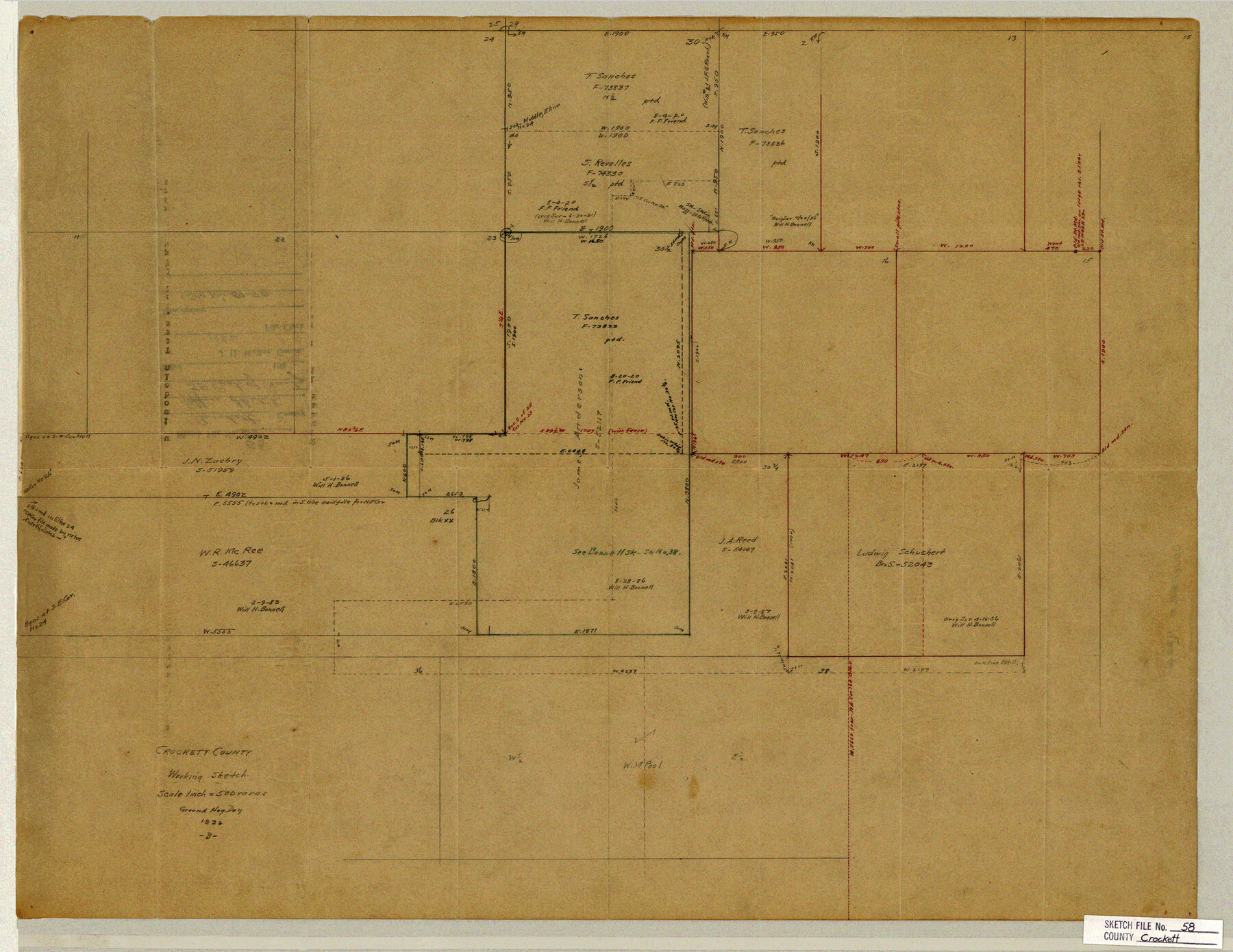
Crockett County Sketch File 58
S E Part of County
-
Map/Doc
11226
-
Collection
General Map Collection
-
Object Dates
1932/2/2 (Creation Date)
1932/2/2 (File Date)
-
Counties
Crockett
-
Subjects
Surveying Sketch File
-
Height x Width
17.9 x 23.2 inches
45.5 x 58.9 cm
-
Medium
paper, manuscript
-
Scale
1:500
Part of: General Map Collection
Pecos County Rolled Sketch 118

Print $20.00
- Digital $50.00
Pecos County Rolled Sketch 118
1941
Size 42.0 x 30.3 inches
Map/Doc 7260
Williamson County Sketch File 5

Print $13.00
- Digital $50.00
Williamson County Sketch File 5
1847
Size 8.2 x 11.2 inches
Map/Doc 40306
Haskell County Rolled Sketch 8

Print $20.00
- Digital $50.00
Haskell County Rolled Sketch 8
1954
Size 43.4 x 47.7 inches
Map/Doc 9146
Wood County Boundary File 7

Print $34.00
- Digital $50.00
Wood County Boundary File 7
Size 13.3 x 8.8 inches
Map/Doc 60187
Etats-Unis de l'Amérique Septentrionale avec les Isles Royale, de Terre Neuve de St. Jean, L'Acadie &c.

Print $20.00
- Digital $50.00
Etats-Unis de l'Amérique Septentrionale avec les Isles Royale, de Terre Neuve de St. Jean, L'Acadie &c.
1785
Size 20.9 x 28.2 inches
Map/Doc 93679
Jones County Sketch File 10

Print $20.00
- Digital $50.00
Jones County Sketch File 10
1875
Size 14.3 x 22.2 inches
Map/Doc 11900
Tarrant's Key and Guide to Dallas

Print $20.00
- Digital $50.00
Tarrant's Key and Guide to Dallas
1922
Size 28.1 x 23.2 inches
Map/Doc 89256
Bee County Sketch File 26

Print $6.00
- Digital $50.00
Bee County Sketch File 26
1883
Size 14.5 x 9.0 inches
Map/Doc 14328
Frio County Rolled Sketch 3

Print $20.00
- Digital $50.00
Frio County Rolled Sketch 3
Size 30.7 x 20.1 inches
Map/Doc 5916
McMullen County Rolled Sketch 22

Print $20.00
- Digital $50.00
McMullen County Rolled Sketch 22
2004
Size 15.3 x 24.6 inches
Map/Doc 88824
Fort Bend County Working Sketch 23

Print $20.00
- Digital $50.00
Fort Bend County Working Sketch 23
1978
Size 37.2 x 29.8 inches
Map/Doc 69229
Orange County Rolled Sketch 32

Print $20.00
- Digital $50.00
Orange County Rolled Sketch 32
1982
Size 33.6 x 22.5 inches
Map/Doc 7188
You may also like
Duval County Sketch File 15

Print $4.00
- Digital $50.00
Duval County Sketch File 15
Size 12.0 x 9.0 inches
Map/Doc 21309
Eastland County Working Sketch 62

Print $20.00
- Digital $50.00
Eastland County Working Sketch 62
1989
Size 20.7 x 28.0 inches
Map/Doc 68843
Plat showing proposed counties to be taken from Zapata, Starr & Hidalgo Counties

Print $20.00
- Digital $50.00
Plat showing proposed counties to be taken from Zapata, Starr & Hidalgo Counties
1911
Size 24.8 x 27.0 inches
Map/Doc 2478
Kent County Working Sketch 5

Print $40.00
- Digital $50.00
Kent County Working Sketch 5
1950
Size 36.7 x 50.1 inches
Map/Doc 70012
Map of Hill County

Print $20.00
- Digital $50.00
Map of Hill County
1862
Size 22.1 x 24.7 inches
Map/Doc 3671
Harris County Rolled Sketch 87

Print $40.00
- Digital $50.00
Harris County Rolled Sketch 87
Size 45.2 x 49.8 inches
Map/Doc 9141
Flight Mission No. CGI-3N, Frame 177, Cameron County

Print $20.00
- Digital $50.00
Flight Mission No. CGI-3N, Frame 177, Cameron County
1954
Size 18.5 x 22.3 inches
Map/Doc 84641
San Patricio County Sketch File 38

Print $112.00
- Digital $50.00
San Patricio County Sketch File 38
Size 7.9 x 7.3 inches
Map/Doc 36176
Guadalupe County Sketch File 1

Print $4.00
- Digital $50.00
Guadalupe County Sketch File 1
1857
Size 8.9 x 13.4 inches
Map/Doc 24644
Duval County Working Sketch 16

Print $20.00
- Digital $50.00
Duval County Working Sketch 16
1939
Size 14.6 x 25.3 inches
Map/Doc 68729
Liberty County Sketch File 60

Print $12.00
- Digital $50.00
Liberty County Sketch File 60
1943
Size 14.2 x 8.6 inches
Map/Doc 30071
Zavala County Sketch File 7

Print $6.00
- Digital $50.00
Zavala County Sketch File 7
Size 9.4 x 16.3 inches
Map/Doc 41265