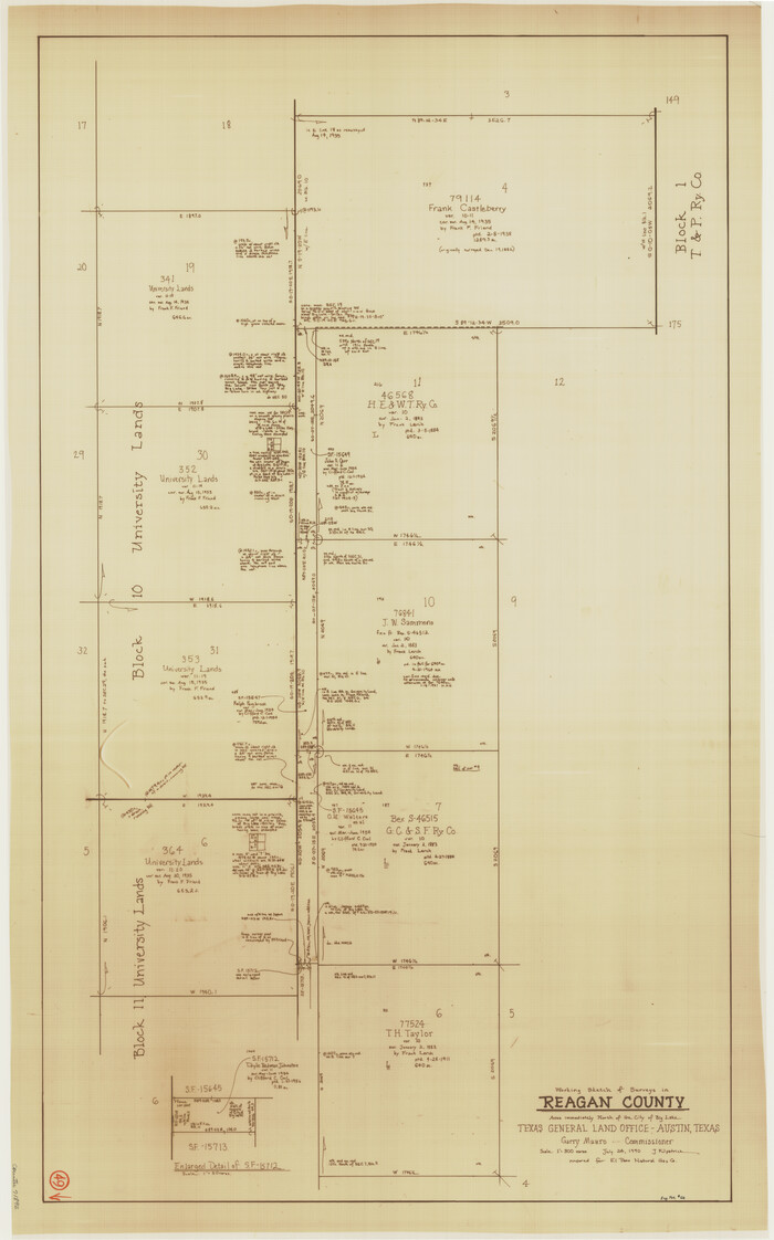
Reagan County Working Sketch 49
1990
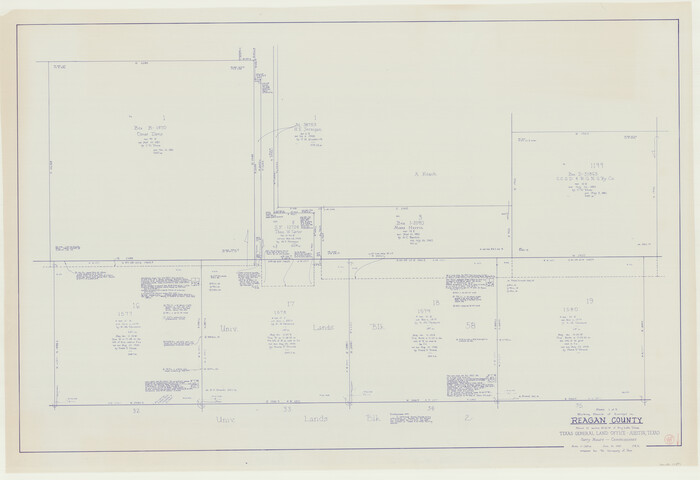
Reagan County Working Sketch 48
1987

Reagan County Working Sketch 47
1987
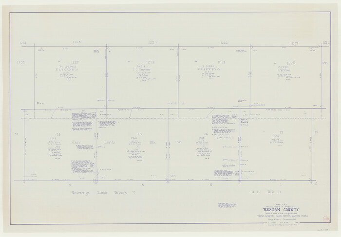
Reagan County Working Sketch 46b
1987

Reagan County Working Sketch 44
1987

Reagan County Working Sketch 45
1987
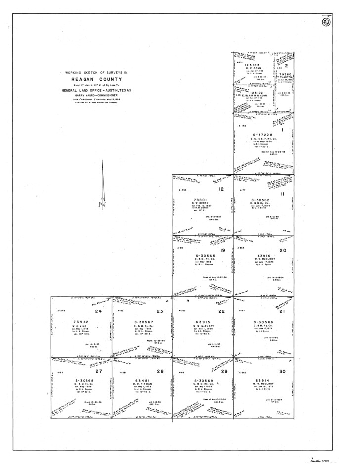
Reagan County Working Sketch 43
1984

Irion County Rolled Sketch 18B
1978
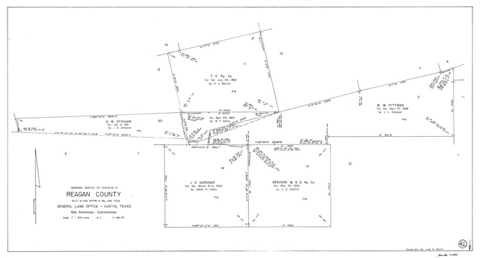
Reagan County Working Sketch 42
1973
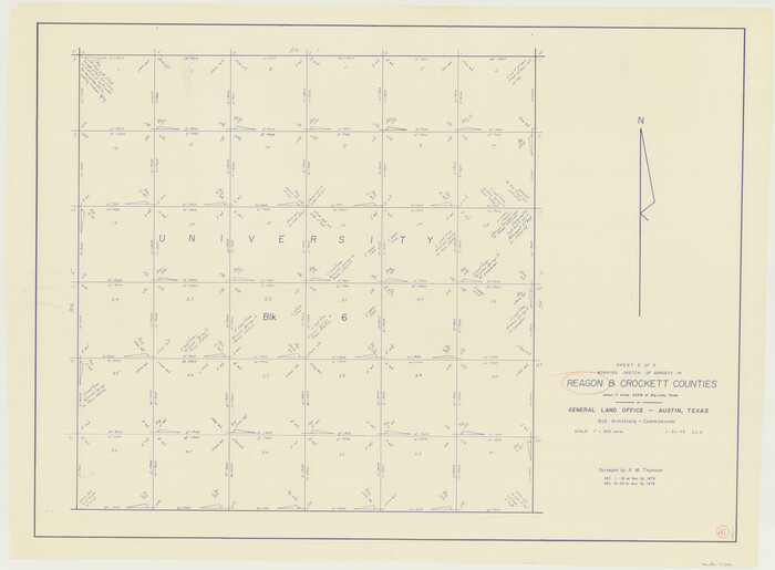
Reagan County Working Sketch 41
1973
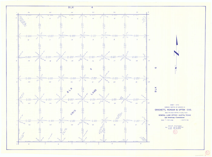
Crockett County Working Sketch 81
1973
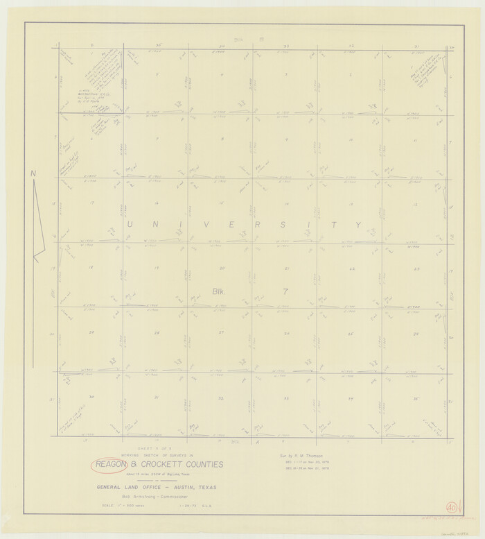
Reagan County Working Sketch 40
1973
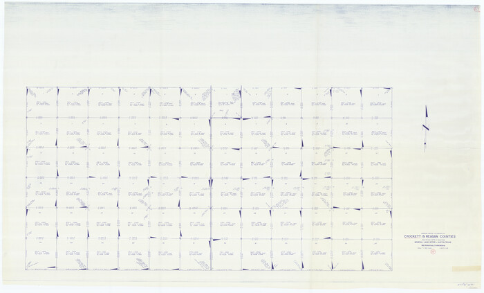
Crockett County Working Sketch 79
1973
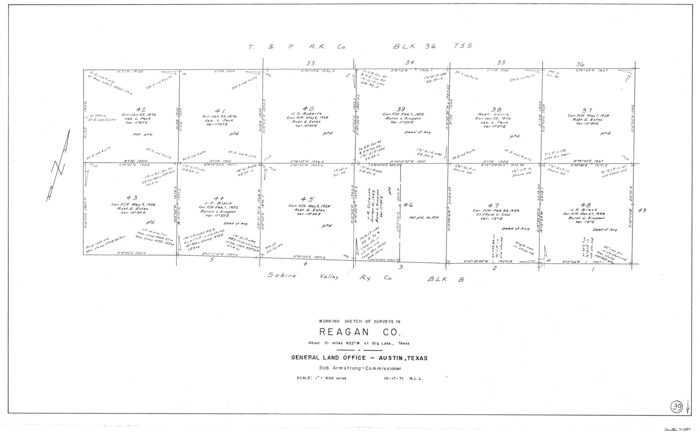
Reagan County Working Sketch 39
1971

Reagan County Working Sketch 46a
1970
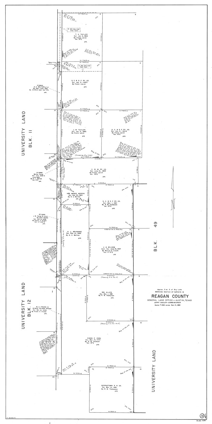
Reagan County Working Sketch 38
1969
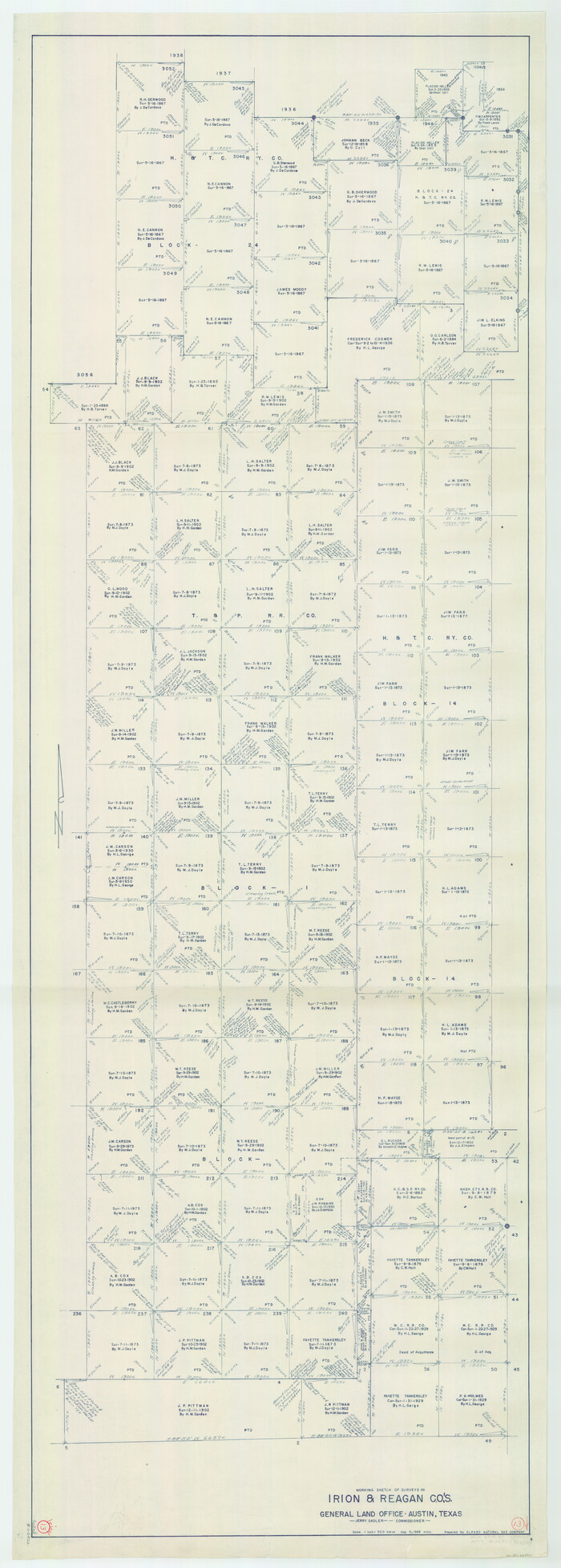
Irion County Working Sketch 13
1968
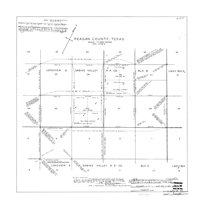
Reagan County Rolled Sketch 39
1966
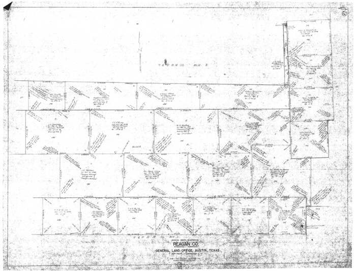
Reagan County Working Sketch 37
1966

Reagan County Working Sketch 36
1966
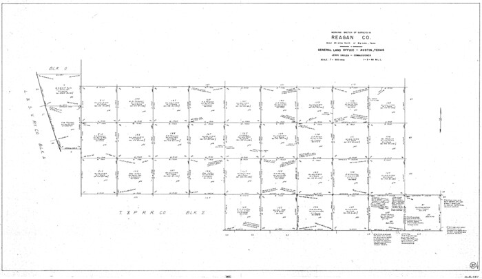
Reagan County Working Sketch 35
1966
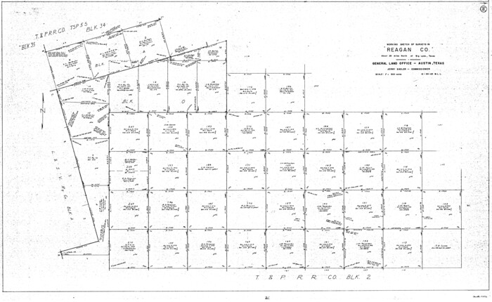
Reagan County Working Sketch 34
1965
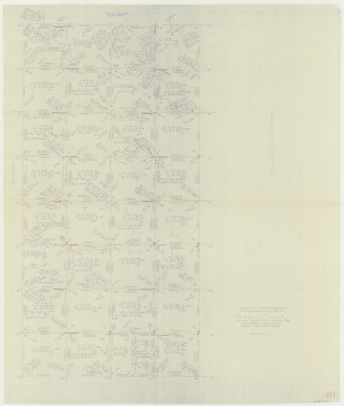
Reagan County Working Sketch 32
1965
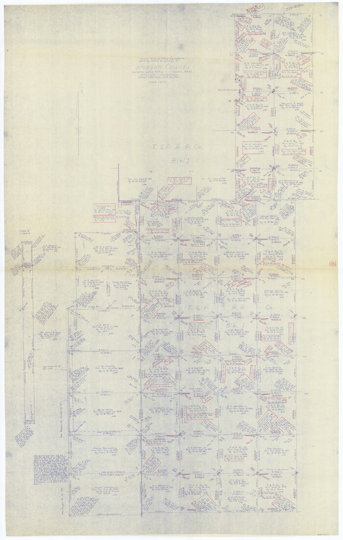
Reagan County Working Sketch 33
1965
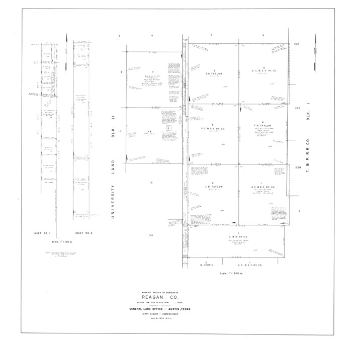
Reagan County Rolled Sketch 38
1964
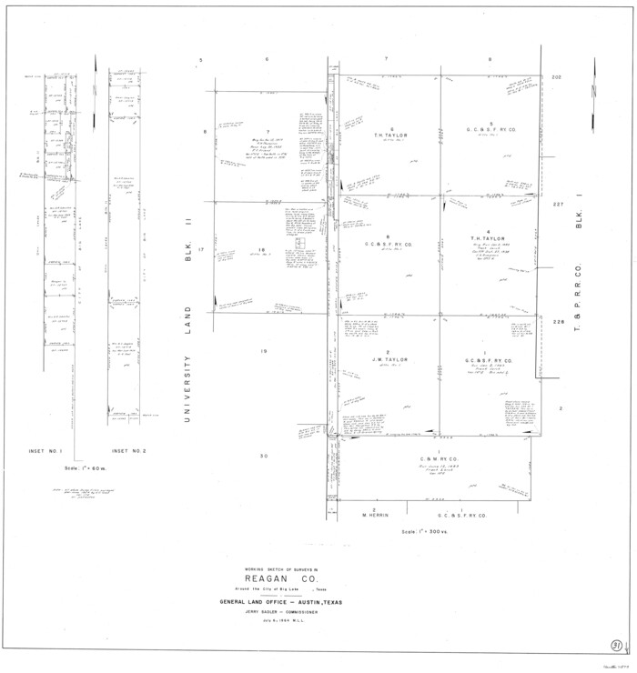
Reagan County Working Sketch 31
1964
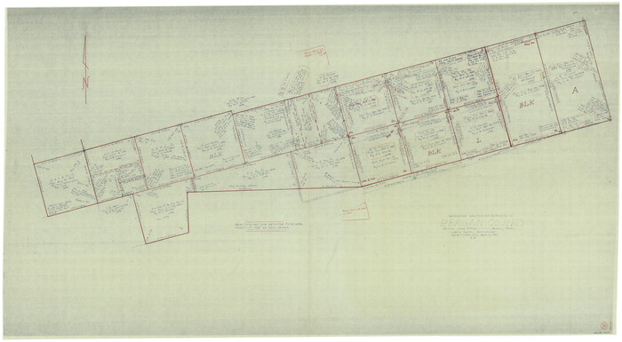
Reagan County Working Sketch 30
1963

Reagan County Working Sketch 29
1963
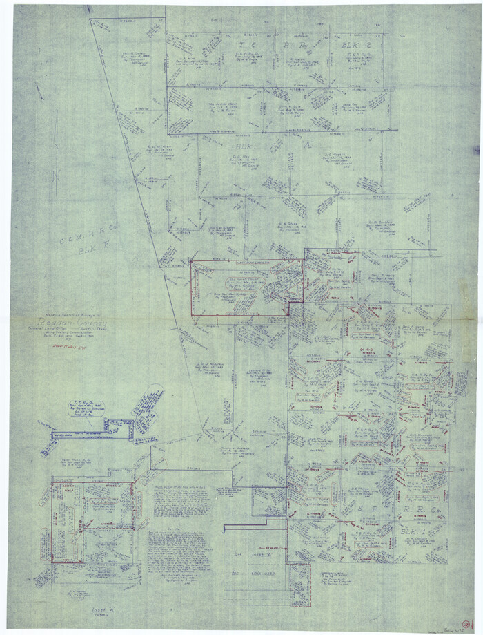
Reagan County Working Sketch 28
1963
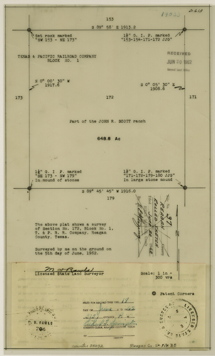
Reagan County Sketch File 35
1962

Reagan County Working Sketch 49
1990
-
Size
40.4 x 25.2 inches
-
Map/Doc
71892
-
Creation Date
1990

Reagan County Working Sketch 48
1987
-
Size
31.6 x 46.1 inches
-
Map/Doc
71891
-
Creation Date
1987

Reagan County Working Sketch 47
1987
-
Size
23.9 x 43.8 inches
-
Map/Doc
71890
-
Creation Date
1987

Reagan County Working Sketch 46b
1987
-
Size
31.4 x 45.2 inches
-
Map/Doc
71889
-
Creation Date
1987

Reagan County Working Sketch 44
1987
-
Size
25.2 x 37.1 inches
-
Map/Doc
71886
-
Creation Date
1987

Reagan County Working Sketch 45
1987
-
Size
30.1 x 43.1 inches
-
Map/Doc
71887
-
Creation Date
1987

Reagan County Working Sketch 43
1984
-
Size
36.4 x 27.1 inches
-
Map/Doc
71885
-
Creation Date
1984

Irion County Rolled Sketch 18B
1978
-
Size
10.6 x 15.2 inches
-
Map/Doc
46087
-
Creation Date
1978

Reagan County Working Sketch 42
1973
-
Size
19.9 x 37.0 inches
-
Map/Doc
71884
-
Creation Date
1973

Reagan County Working Sketch 41
1973
-
Size
28.6 x 38.9 inches
-
Map/Doc
71883
-
Creation Date
1973

Crockett County Working Sketch 81
1973
-
Size
28.1 x 37.7 inches
-
Map/Doc
68414
-
Creation Date
1973

Reagan County Working Sketch 40
1973
-
Size
31.7 x 28.6 inches
-
Map/Doc
71882
-
Creation Date
1973

Crockett County Working Sketch 79
1973
-
Size
46.2 x 76.4 inches
-
Map/Doc
68412
-
Creation Date
1973

Reagan County Working Sketch 39
1971
-
Size
22.5 x 36.1 inches
-
Map/Doc
71881
-
Creation Date
1971

Reagan County Working Sketch 46a
1970
-
Size
34.5 x 30.4 inches
-
Map/Doc
71888
-
Creation Date
1970

Reagan County Working Sketch 38
1969
-
Size
60.8 x 30.5 inches
-
Map/Doc
71880
-
Creation Date
1969

Irion County Working Sketch 13
1968
-
Size
88.1 x 31.6 inches
-
Map/Doc
66422
-
Creation Date
1968

Reagan County Rolled Sketch 39
1966
-
Size
25.7 x 25.1 inches
-
Map/Doc
7450
-
Creation Date
1966

Reagan County Working Sketch 37
1966
-
Size
34.3 x 45.1 inches
-
Map/Doc
71879
-
Creation Date
1966

Reagan County Working Sketch 36
1966
-
Size
29.6 x 20.6 inches
-
Map/Doc
71878
-
Creation Date
1966

Reagan County Working Sketch 35
1966
-
Size
29.7 x 51.4 inches
-
Map/Doc
71877
-
Creation Date
1966

Reagan County Working Sketch 34
1965
-
Size
29.7 x 48.3 inches
-
Map/Doc
71876
-
Creation Date
1965

Reagan County Working Sketch 32
1965
-
Size
43.9 x 37.1 inches
-
Map/Doc
71874
-
Creation Date
1965

Reagan County Working Sketch 33
1965
-
Size
66.2 x 42.0 inches
-
Map/Doc
71875
-
Creation Date
1965

Reagan County Rolled Sketch 38
1964
-
Size
39.2 x 40.5 inches
-
Map/Doc
9830
-
Creation Date
1964

Reagan County Working Sketch 31
1964
-
Size
38.7 x 36.6 inches
-
Map/Doc
71873
-
Creation Date
1964

Reagan County Working Sketch 30
1963
-
Size
31.9 x 57.3 inches
-
Map/Doc
71872
-
Creation Date
1963

Reagan County Working Sketch 29
1963
-
Size
34.3 x 66.4 inches
-
Map/Doc
71871
-
Creation Date
1963

Reagan County Working Sketch 28
1963
-
Size
55.7 x 42.4 inches
-
Map/Doc
71870
-
Creation Date
1963

Reagan County Sketch File 35
1962
-
Size
14.4 x 8.7 inches
-
Map/Doc
35032
-
Creation Date
1962