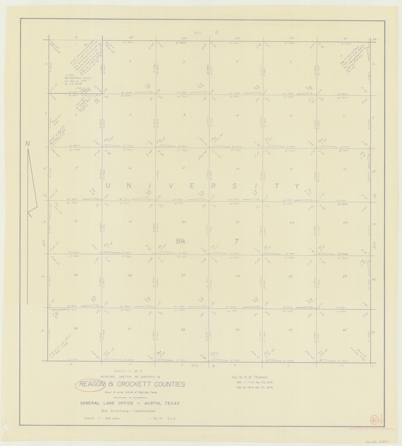
Reagan County Working Sketch 40
-
Map/Doc
71882
-
Collection
General Map Collection
-
Object Dates
1/29/1973 (Creation Date)
-
People and Organizations
Crockett L. Slover (Draftsman)
-
Counties
Reagan Crockett
-
Subjects
Surveying Working Sketch
-
Height x Width
31.7 x 28.6 inches
80.5 x 72.6 cm
-
Scale
1" = 500 varas
Part of: General Map Collection
Hutchinson County Boundary File 4a

Print $40.00
- Digital $50.00
Hutchinson County Boundary File 4a
Size 8.7 x 51.7 inches
Map/Doc 55313
Flight Mission No. CGI-3N, Frame 102, Cameron County

Print $20.00
- Digital $50.00
Flight Mission No. CGI-3N, Frame 102, Cameron County
1954
Size 18.6 x 22.2 inches
Map/Doc 84582
Concho County Rolled Sketch 4

Print $20.00
- Digital $50.00
Concho County Rolled Sketch 4
1948
Size 47.3 x 43.6 inches
Map/Doc 8649
Navarro County Working Sketch 15

Print $20.00
- Digital $50.00
Navarro County Working Sketch 15
1993
Size 16.1 x 17.8 inches
Map/Doc 71245
Ward County Rolled Sketch 18

Print $20.00
- Digital $50.00
Ward County Rolled Sketch 18
1949
Size 31.6 x 34.0 inches
Map/Doc 10109
Orange County Working Sketch 50

Print $20.00
- Digital $50.00
Orange County Working Sketch 50
1991
Size 36.0 x 43.6 inches
Map/Doc 71382
Cottle County Working Sketch 5

Print $20.00
- Digital $50.00
Cottle County Working Sketch 5
1921
Size 13.5 x 25.5 inches
Map/Doc 68315
Hays County Working Sketch 16

Print $20.00
- Digital $50.00
Hays County Working Sketch 16
1970
Size 34.3 x 38.0 inches
Map/Doc 66090
Pecos County Sketch File 81

Print $14.00
- Digital $50.00
Pecos County Sketch File 81
1941
Size 11.3 x 8.7 inches
Map/Doc 33920
Flight Mission No. DQN-1K, Frame 42, Calhoun County

Print $20.00
- Digital $50.00
Flight Mission No. DQN-1K, Frame 42, Calhoun County
1953
Size 18.5 x 18.7 inches
Map/Doc 84142
Eastland County Rolled Sketch 14

Print $20.00
- Digital $50.00
Eastland County Rolled Sketch 14
Size 18.5 x 18.3 inches
Map/Doc 5775
Nueces County Rolled Sketch 48

Print $20.00
- Digital $50.00
Nueces County Rolled Sketch 48
1957
Size 33.1 x 45.1 inches
Map/Doc 6887
You may also like
Moore County Sketch File 3

Print $20.00
- Digital $50.00
Moore County Sketch File 3
Size 17.2 x 19.3 inches
Map/Doc 42126
Dallas County Boundary File 2

Print $10.00
- Digital $50.00
Dallas County Boundary File 2
Size 11.2 x 8.4 inches
Map/Doc 52115
Roberts County Working Sketch 43

Print $20.00
- Digital $50.00
Roberts County Working Sketch 43
1990
Size 19.3 x 37.6 inches
Map/Doc 63569
Flight Mission No. DCL-5C, Frame 70, Kenedy County

Print $20.00
- Digital $50.00
Flight Mission No. DCL-5C, Frame 70, Kenedy County
1943
Size 18.7 x 22.2 inches
Map/Doc 85853
Burnet County Rolled Sketch 3

Print $20.00
- Digital $50.00
Burnet County Rolled Sketch 3
Size 23.7 x 26.2 inches
Map/Doc 5355
Waller County Sketch File 3

Print $4.00
- Digital $50.00
Waller County Sketch File 3
Size 13.0 x 8.4 inches
Map/Doc 39598
Uvalde County Rolled Sketch 14

Print $20.00
- Digital $50.00
Uvalde County Rolled Sketch 14
1977
Size 22.0 x 25.9 inches
Map/Doc 8098
Flight Mission No. BQR-16K, Frame 35, Brazoria County

Print $20.00
- Digital $50.00
Flight Mission No. BQR-16K, Frame 35, Brazoria County
1952
Size 18.5 x 22.2 inches
Map/Doc 84102
Jefferson County Rolled Sketch 61F

Print $20.00
- Digital $50.00
Jefferson County Rolled Sketch 61F
1928
Size 27.2 x 40.2 inches
Map/Doc 6415
Working Sketch in Stephens County

Print $2.00
- Digital $50.00
Working Sketch in Stephens County
1919
Size 9.2 x 11.4 inches
Map/Doc 91911
Kendall County

Print $20.00
- Digital $50.00
Kendall County
1946
Size 41.6 x 35.9 inches
Map/Doc 1872
Castro County Sketch File 4j

Print $4.00
- Digital $50.00
Castro County Sketch File 4j
Size 13.5 x 8.7 inches
Map/Doc 17483