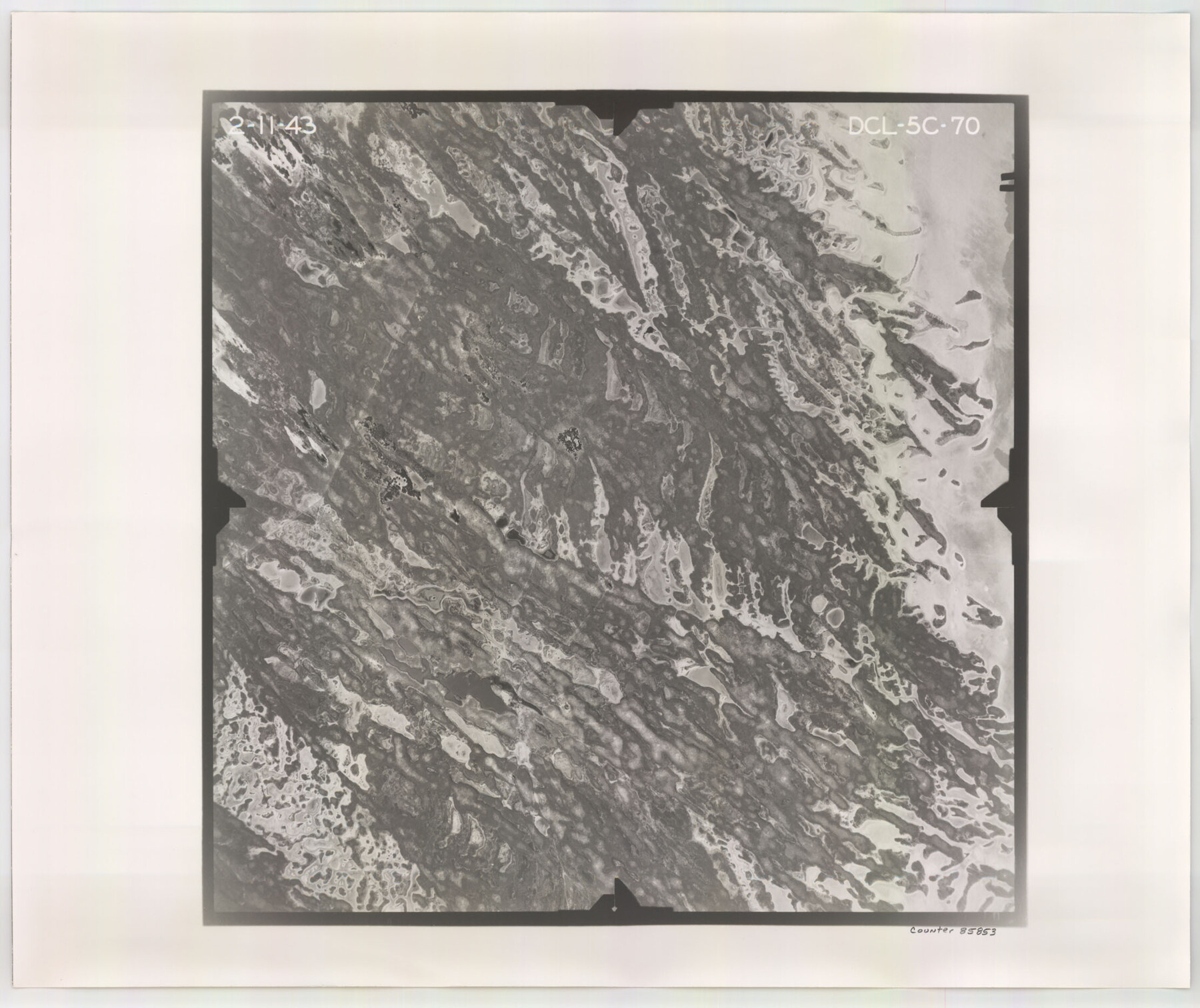
Flight Mission No. DCL-5C, Frame 70, Kenedy County
DCL-5C-70
-
Map/Doc
85853
-
Collection
General Map Collection
-
Object Dates
1943/2/11 (Creation Date)
-
People and Organizations
U. S. Department of Agriculture (Publisher)
-
Counties
Kenedy
-
Subjects
Aerial Photograph
-
Height x Width
18.7 x 22.2 inches
47.5 x 56.4 cm
-
Comments
Flown by Aerial Surveys of Pittsburgh, Inc. of Pittsburgh, Pennsylvania.
Part of: General Map Collection
Young County Working Sketch 1

Print $20.00
- Digital $50.00
Young County Working Sketch 1
1960
Size 31.1 x 41.9 inches
Map/Doc 62024
Shelby County Working Sketch 7

Print $20.00
- Digital $50.00
Shelby County Working Sketch 7
1942
Size 40.2 x 44.2 inches
Map/Doc 63860
Map of Scurry County

Print $20.00
- Digital $50.00
Map of Scurry County
1899
Size 39.8 x 34.7 inches
Map/Doc 63029
Harris County Sketch File 101

Print $104.00
- Digital $50.00
Harris County Sketch File 101
1991
Size 11.3 x 8.9 inches
Map/Doc 25873
Sutton County

Print $40.00
- Digital $50.00
Sutton County
1941
Size 43.8 x 56.5 inches
Map/Doc 95647


Montgomery County Working Sketch 35

Print $20.00
- Digital $50.00
Montgomery County Working Sketch 35
1953
Size 26.6 x 21.7 inches
Map/Doc 71142
Map of the State of Texas

Print $40.00
- Digital $50.00
Map of the State of Texas
1879
Size 102.7 x 56.3 inches
Map/Doc 93382
Flight Mission No. CUG-1P, Frame 169, Kleberg County

Print $20.00
- Digital $50.00
Flight Mission No. CUG-1P, Frame 169, Kleberg County
1956
Size 18.6 x 22.4 inches
Map/Doc 86176
San Jacinto County Working Sketch 4

Print $20.00
- Digital $50.00
San Jacinto County Working Sketch 4
1934
Size 16.2 x 20.8 inches
Map/Doc 63717
Fractional Township No. 8 South Range No. 5 East of the Indian Meridian, Indian Territory

Print $20.00
- Digital $50.00
Fractional Township No. 8 South Range No. 5 East of the Indian Meridian, Indian Territory
1898
Size 19.2 x 24.4 inches
Map/Doc 75209
You may also like
[Sketch of surveys in Knox County]
![555, [Sketch of surveys in Knox County], Maddox Collection](https://historictexasmaps.com/wmedia_w700/maps/555.tif.jpg)
Print $20.00
- Digital $50.00
[Sketch of surveys in Knox County]
Size 27.1 x 31.1 inches
Map/Doc 555
National Map Company's Ohio showing Counties, Townships, Cities, Villages, Post Offices, Steam and Electric Railways, With Stations and Distances Between Stations

Print $20.00
- Digital $50.00
National Map Company's Ohio showing Counties, Townships, Cities, Villages, Post Offices, Steam and Electric Railways, With Stations and Distances Between Stations
1920
Size 38.7 x 32.3 inches
Map/Doc 97109
Flight Mission No. BRE-1P, Frame 75, Nueces County

Print $20.00
- Digital $50.00
Flight Mission No. BRE-1P, Frame 75, Nueces County
1956
Size 18.4 x 22.2 inches
Map/Doc 86657
Real County Working Sketch 86

Print $20.00
- Digital $50.00
Real County Working Sketch 86
1988
Size 37.8 x 26.6 inches
Map/Doc 71978
The Republic County of Matagorda. Proposed, Late Fall 1837-January 1, 1838

Print $20.00
The Republic County of Matagorda. Proposed, Late Fall 1837-January 1, 1838
2020
Size 21.0 x 21.7 inches
Map/Doc 96215
Brewster County Working Sketch 13

Print $20.00
- Digital $50.00
Brewster County Working Sketch 13
1928
Size 39.5 x 43.9 inches
Map/Doc 67546
[Plat of Trinity River w/ Midstream Profile in Liberty County by US Government 1899]
![65340, [Plat of Trinity River w/ Midstream Profile in Liberty County by US Government 1899], General Map Collection](https://historictexasmaps.com/wmedia_w700/maps/65340.tif.jpg)
Print $20.00
- Digital $50.00
[Plat of Trinity River w/ Midstream Profile in Liberty County by US Government 1899]
1899
Size 12.8 x 18.2 inches
Map/Doc 65340
San Patricio County Sketch File 41

Print $4.00
- Digital $50.00
San Patricio County Sketch File 41
1842
Size 5.2 x 8.0 inches
Map/Doc 36238
Flight Mission No. BQY-4M, Frame 33, Harris County

Print $20.00
- Digital $50.00
Flight Mission No. BQY-4M, Frame 33, Harris County
1953
Size 18.7 x 22.4 inches
Map/Doc 85248
Nolan County Sketch File C

Print $20.00
- Digital $50.00
Nolan County Sketch File C
1902
Size 14.4 x 31.5 inches
Map/Doc 42172
Hamilton County Rolled Sketch 7

Print $20.00
- Digital $50.00
Hamilton County Rolled Sketch 7
1927
Size 32.2 x 38.4 inches
Map/Doc 6057
Dawson County Working Sketch 12

Print $20.00
- Digital $50.00
Dawson County Working Sketch 12
1951
Size 24.6 x 27.7 inches
Map/Doc 68556