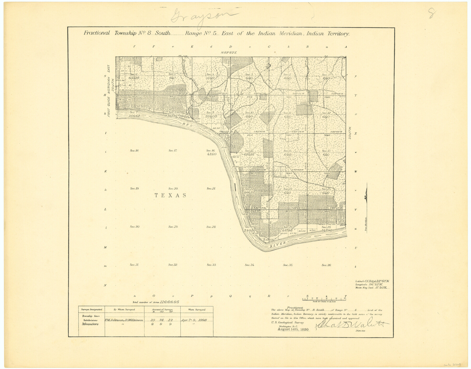
Fractional Township No. 8 South Range No. 5 East of the Indian Meridian, Indian Territory
-
Map/Doc
75209
-
Collection
General Map Collection
-
Object Dates
1898/4/9 (Creation Date)
-
Subjects
Texas Boundaries
-
Height x Width
19.2 x 24.4 inches
48.8 x 62.0 cm
Part of: General Map Collection
Hidalgo County Rolled Sketch 16

Print $40.00
- Digital $50.00
Hidalgo County Rolled Sketch 16
1963
Size 68.9 x 42.2 inches
Map/Doc 9171
Young County Working Sketch 4

Print $20.00
- Digital $50.00
Young County Working Sketch 4
1919
Size 14.8 x 13.4 inches
Map/Doc 62027
McLennan County Sketch File 19

Print $18.00
- Digital $50.00
McLennan County Sketch File 19
1889
Size 12.8 x 7.9 inches
Map/Doc 31284
Flight Mission No. BRE-2P, Frame 39, Nueces County

Print $20.00
- Digital $50.00
Flight Mission No. BRE-2P, Frame 39, Nueces County
1956
Size 18.6 x 22.4 inches
Map/Doc 86741
Gaines County Rolled Sketch 15B

Print $40.00
- Digital $50.00
Gaines County Rolled Sketch 15B
Size 207.7 x 26.0 inches
Map/Doc 9037
Presidio County Rolled Sketch BB

Print $20.00
- Digital $50.00
Presidio County Rolled Sketch BB
1937
Size 26.3 x 27.1 inches
Map/Doc 7407
Williamson County Working Sketch 17

Print $20.00
- Digital $50.00
Williamson County Working Sketch 17
1984
Size 32.7 x 24.0 inches
Map/Doc 72577
Jeff Davis County Rolled Sketch 23A

Print $11.00
- Digital $50.00
Jeff Davis County Rolled Sketch 23A
1886
Size 9.9 x 15.3 inches
Map/Doc 46293
Highland Lakes of Central Texas

Print $20.00
- Digital $50.00
Highland Lakes of Central Texas
1947
Size 18.2 x 21.9 inches
Map/Doc 60291
Henderson County Working Sketch 26

Print $20.00
- Digital $50.00
Henderson County Working Sketch 26
1954
Size 23.8 x 23.5 inches
Map/Doc 66159
Kimble County Working Sketch 53

Print $20.00
- Digital $50.00
Kimble County Working Sketch 53
1953
Size 24.5 x 35.9 inches
Map/Doc 70121
Trinity River, Levee Improvement Districts, Widths of Floodways/Pilot Grove Creek and East Fork Trinity River

Print $6.00
- Digital $50.00
Trinity River, Levee Improvement Districts, Widths of Floodways/Pilot Grove Creek and East Fork Trinity River
1920
Size 33.0 x 17.1 inches
Map/Doc 65259
You may also like
University of Texas System University Lands

Print $20.00
- Digital $50.00
University of Texas System University Lands
1937
Size 23.3 x 17.6 inches
Map/Doc 93237
Eastham Farm, Texas Prison System, Houston County

Print $20.00
- Digital $50.00
Eastham Farm, Texas Prison System, Houston County
Size 17.3 x 18.4 inches
Map/Doc 62988
A Map of the United States including every county enumerated in the last census & since formed with the population of the several states, railroads, canals, & c.

A Map of the United States including every county enumerated in the last census & since formed with the population of the several states, railroads, canals, & c.
Size 46.0 x 61.0 inches
Map/Doc 95918
Kimble County

Print $40.00
- Digital $50.00
Kimble County
1930
Size 41.0 x 49.0 inches
Map/Doc 77340
Aransas County Rolled Sketch 35

Print $40.00
- Digital $50.00
Aransas County Rolled Sketch 35
2006
Size 37.5 x 50.0 inches
Map/Doc 83555
Leon County Rolled Sketch 16

Print $40.00
- Digital $50.00
Leon County Rolled Sketch 16
1981
Size 42.8 x 65.3 inches
Map/Doc 9433
[St. L. S-W. Ry. Of Texas Map of Lufkin Branch in Cherokee County Texas]
![64022, [St. L. S-W. Ry. Of Texas Map of Lufkin Branch in Cherokee County Texas], General Map Collection](https://historictexasmaps.com/wmedia_w700/maps/64022.tif.jpg)
Print $40.00
- Digital $50.00
[St. L. S-W. Ry. Of Texas Map of Lufkin Branch in Cherokee County Texas]
1912
Size 23.1 x 122.7 inches
Map/Doc 64022
Trinity River, Kimbrough Lake Sheet

Print $4.00
- Digital $50.00
Trinity River, Kimbrough Lake Sheet
1929
Size 26.0 x 19.4 inches
Map/Doc 65225
[Map of Counties South of Panhandle from Parmer to Childress in North to Andrews to Eastland in the South]
![92098, [Map of Counties South of Panhandle from Parmer to Childress in North to Andrews to Eastland in the South], Twichell Survey Records](https://historictexasmaps.com/wmedia_w700/maps/92098-2.tif.jpg)
Print $3.00
- Digital $50.00
[Map of Counties South of Panhandle from Parmer to Childress in North to Andrews to Eastland in the South]
Size 14.9 x 10.7 inches
Map/Doc 92098
Shackelford County Boundary File 79

Print $26.00
- Digital $50.00
Shackelford County Boundary File 79
Size 9.5 x 4.0 inches
Map/Doc 58737
Map of Capitol Syndicate Subdivisions of Capitol Reservation Lands in Parmer County, Texas

Print $20.00
- Digital $50.00
Map of Capitol Syndicate Subdivisions of Capitol Reservation Lands in Parmer County, Texas
1915
Size 17.7 x 13.2 inches
Map/Doc 91553
Pecos County Rolled Sketch 166

Print $22.00
- Digital $50.00
Pecos County Rolled Sketch 166
Size 32.5 x 37.6 inches
Map/Doc 9747