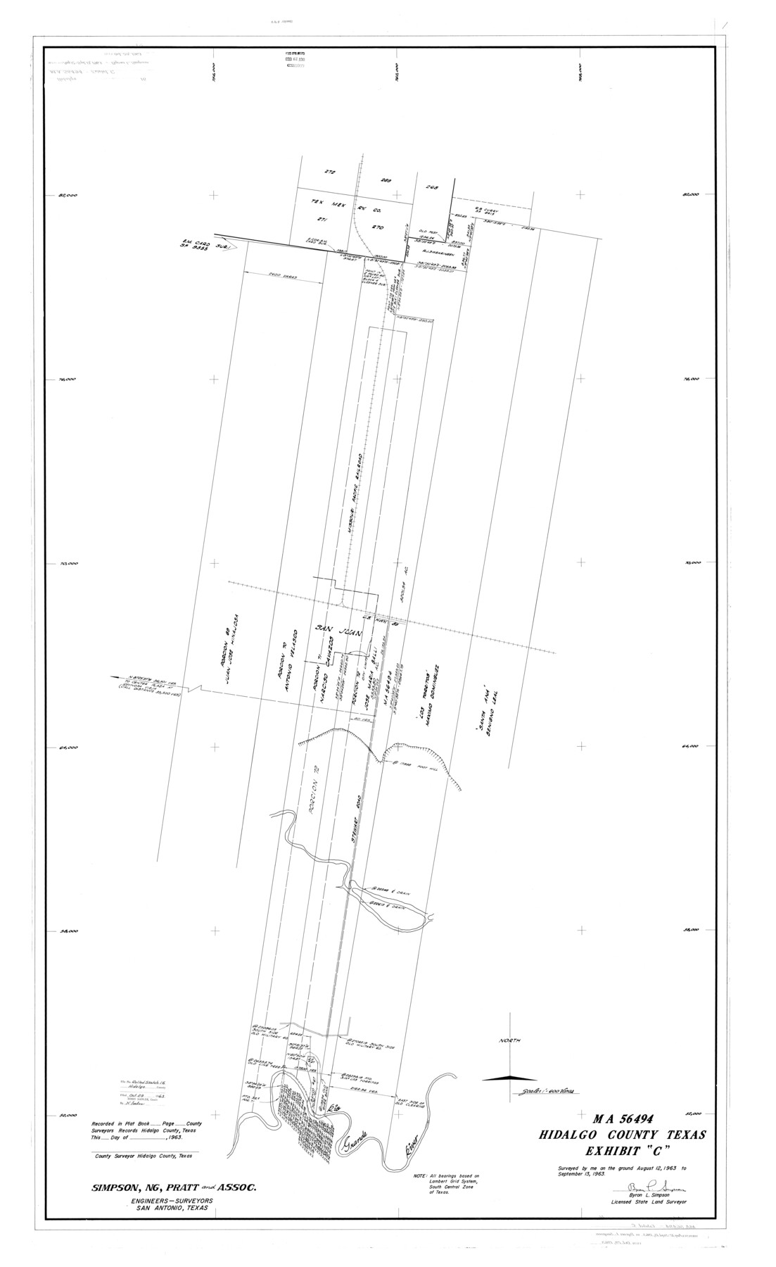
Hidalgo County Rolled Sketch 16
MA-56494, Hidalgo County, Texas, Exhibit "C"
-
Map/Doc
9171
-
Collection
General Map Collection
-
Object Dates
1963/9/13 (Creation Date)
1963/10/29 (File Date)
-
People and Organizations
Bryon L. Simpson (Surveyor/Engineer)
-
Counties
Hidalgo
-
Subjects
Surveying Rolled Sketch
-
Height x Width
68.9 x 42.2 inches
175.0 x 107.2 cm
-
Scale
1" = 600 varas
Part of: General Map Collection
Lipscomb County Boundary File 2

Print $6.00
- Digital $50.00
Lipscomb County Boundary File 2
Size 11.1 x 8.6 inches
Map/Doc 56315
Sketch J Showing the progress of the Survey of the Western Coast

Print $20.00
- Digital $50.00
Sketch J Showing the progress of the Survey of the Western Coast
1849
Size 12.3 x 10.0 inches
Map/Doc 97228
Erath County Rolled Sketch 5

Print $20.00
- Digital $50.00
Erath County Rolled Sketch 5
Size 31.2 x 39.5 inches
Map/Doc 8883

Motley County Working Sketch 5

Print $20.00
- Digital $50.00
Motley County Working Sketch 5
1940
Size 22.5 x 20.3 inches
Map/Doc 71210
Fannin County Sketch File 26

Print $4.00
- Digital $50.00
Fannin County Sketch File 26
1873
Size 8.5 x 10.3 inches
Map/Doc 22495
Erath County Sketch File 21

Print $6.00
- Digital $50.00
Erath County Sketch File 21
Size 9.9 x 12.2 inches
Map/Doc 22302
Sabine County Working Sketch 11

Print $20.00
- Digital $50.00
Sabine County Working Sketch 11
1931
Size 30.9 x 34.0 inches
Map/Doc 63682
Upton County Working Sketch 50

Print $20.00
- Digital $50.00
Upton County Working Sketch 50
1980
Size 19.5 x 21.4 inches
Map/Doc 69547
Flight Mission No. DQN-5K, Frame 143, Calhoun County

Print $20.00
- Digital $50.00
Flight Mission No. DQN-5K, Frame 143, Calhoun County
1953
Size 18.8 x 22.3 inches
Map/Doc 84418
Hudspeth County Working Sketch 38

Print $20.00
- Digital $50.00
Hudspeth County Working Sketch 38
1978
Size 31.8 x 36.9 inches
Map/Doc 66323
Flight Mission No. CRC-1R, Frame 152, Chambers County

Print $20.00
- Digital $50.00
Flight Mission No. CRC-1R, Frame 152, Chambers County
1956
Size 18.8 x 22.5 inches
Map/Doc 84714
You may also like
Flight Mission No. CLL-4N, Frame 31, Willacy County

Print $20.00
- Digital $50.00
Flight Mission No. CLL-4N, Frame 31, Willacy County
1954
Size 18.4 x 22.1 inches
Map/Doc 87104
[North part of Block 8, H. & G. N. RR. Co.]
![90376, [North part of Block 8, H. & G. N. RR. Co.], Twichell Survey Records](https://historictexasmaps.com/wmedia_w700/maps/90376-1.tif.jpg)
Print $2.00
- Digital $50.00
[North part of Block 8, H. & G. N. RR. Co.]
Size 6.6 x 8.9 inches
Map/Doc 90376
[Surveys in the Fannin District: Bois d'Arc Creek, Sulphur Creek]
![263, [Surveys in the Fannin District: Bois d'Arc Creek, Sulphur Creek], General Map Collection](https://historictexasmaps.com/wmedia_w700/maps/263.tif.jpg)
Print $2.00
- Digital $50.00
[Surveys in the Fannin District: Bois d'Arc Creek, Sulphur Creek]
1844
Size 7.9 x 7.9 inches
Map/Doc 263
Flight Mission No. DAH-9M, Frame 154, Orange County

Print $20.00
- Digital $50.00
Flight Mission No. DAH-9M, Frame 154, Orange County
1953
Size 18.3 x 22.3 inches
Map/Doc 86853
Flight Mission No. CRC-3R, Frame 102, Chambers County

Print $20.00
- Digital $50.00
Flight Mission No. CRC-3R, Frame 102, Chambers County
1956
Size 18.7 x 22.5 inches
Map/Doc 84840
Fort Bend County Rolled Sketch A

Print $20.00
- Digital $50.00
Fort Bend County Rolled Sketch A
1900
Size 19.8 x 29.7 inches
Map/Doc 5903
Foard County Rolled Sketch 14

Print $20.00
- Digital $50.00
Foard County Rolled Sketch 14
1923
Size 20.2 x 36.0 inches
Map/Doc 5888
Mexico or New Spain in which the Motions of Cortes may be traced

Print $20.00
- Digital $50.00
Mexico or New Spain in which the Motions of Cortes may be traced
1795
Size 14.5 x 16.5 inches
Map/Doc 93650
Sutton County Working Sketch 40

Print $20.00
- Digital $50.00
Sutton County Working Sketch 40
1948
Size 34.9 x 28.3 inches
Map/Doc 62383

A New Map of Texas, Oregon and California with the regions adjoining, compiled from the most recent authorities

Print $20.00
- Digital $50.00
A New Map of Texas, Oregon and California with the regions adjoining, compiled from the most recent authorities
1846
Size 23.2 x 21.2 inches
Map/Doc 93872
Hall County Working Sketch 3

Print $20.00
- Digital $50.00
Hall County Working Sketch 3
1916
Size 15.6 x 17.1 inches
Map/Doc 63331